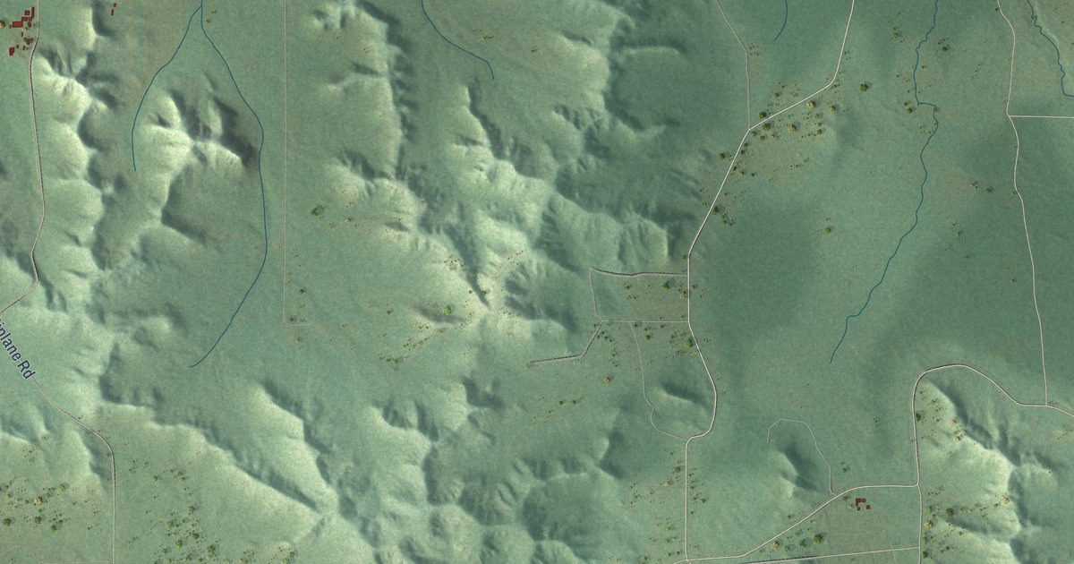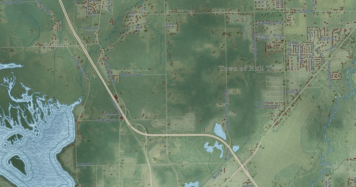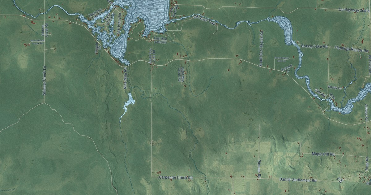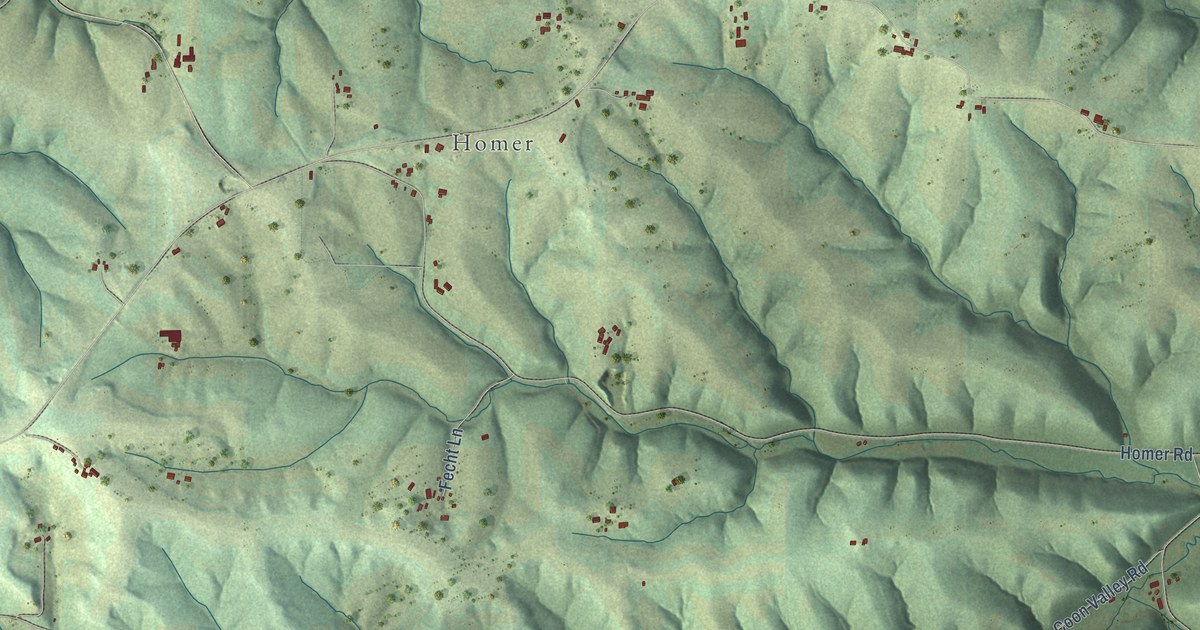
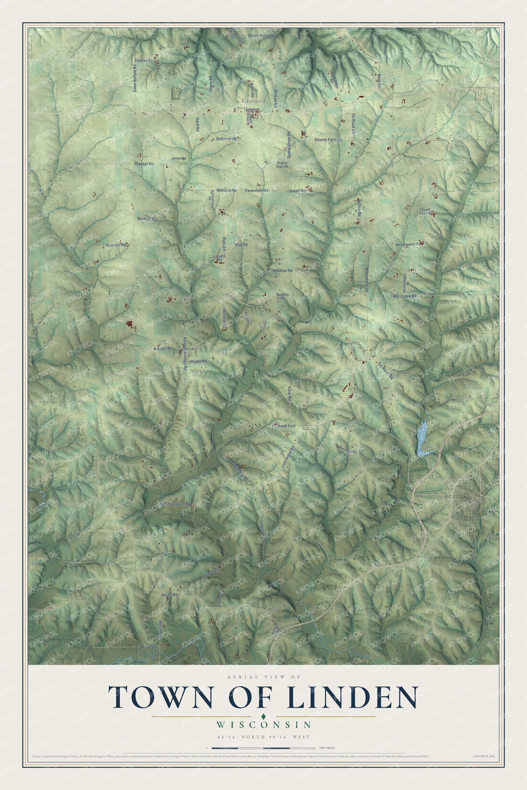
This beautifully detailed map of Linden, Wisconsin was created in 2026 using aerial imagery combined with modern topographical, census, street and landmark data. It's a modern aerial view of Linden in Iowa County, Wisconsin, that combines modern data with a vintage aesthetic. The roads feature printed names, and if you look closely you can find your exact house accurately shown in its correct location.
Explore an aerial view of Linden, Wisconsin
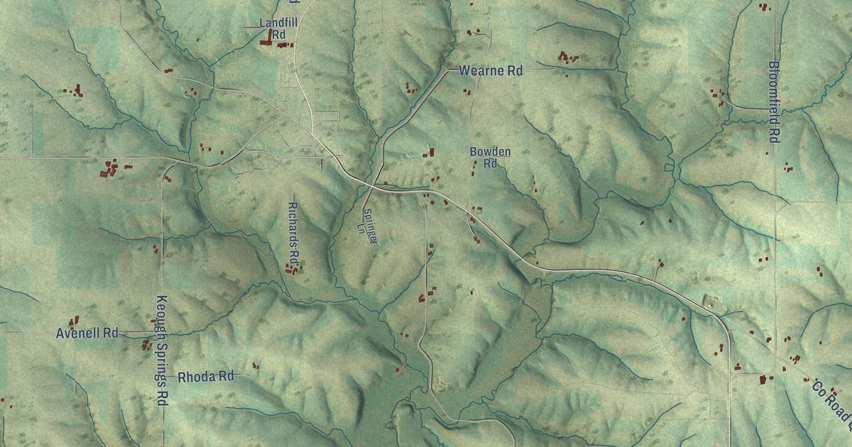
On this map you'll find Edmund, Whitson Road, Powell Road, Fesenfeld Road, Lost Grove Road, Co Road East, Sunny Slope Road, Keough Springs Road, Cave Road, Roaster Road, Co Road Ch, Lawinger Road, and more. Each red shape is a building, so zoom in on the preview and look for yours.
Every town has a first chapter, and Linden is no exception. The History of Iowa County puts it this way: "The first attempt to follow farming as an industry was made in 1829 by Capt. J. B. Estes, who broke forty acres in the town of Linden."
Linden is a town in Iowa County. The Census Bureau counted 755 people here in 2020.
Take a closer look at the Linden map
Names on this map
These names are printed on this map.
Places: Edmund.
Streets and roads: Whitson Road, Powell Road, Fesenfeld Road, Lost Grove Road, County Road East, Sunny Slope Road, Keough Springs Road, Cave Road, Roaster Road, County Road Ch, Lawinger Road, Bloomfield Road.
More street names, A to Z
Avenell Road, Baker Road, Berg Road, Bethlehem Road, Bowden Road, Buckett Road, Buckingham Road, Burr Oak Road, Cave Hollow Road, Commerce Street, County Farm Road, County Road Aa, County Road Qq, Gard Road, Glaeser Road, Harker Station Road, Heins Road, Jewell Road, Jones Road, Landfill Road, Larson Road, Mathews Road, Mill Creek Road, Olson Road, Osborne Road, Pellow Road, Penhallegan Road, Prairie Glen Road, Rhoda Road, Richards Road, Rule Road, Shepherd Road, Sinbad Road, South Esch Road, South Wilson Street, Springer Lane, Steffes Road, Stude Road, Tibbitts Lane, Tucker Road, Union Valley Road, Vial Road, Wearne Road, Wendhausen Road.
Created by KNOWOL in 2026. The buildings are small red shapes, the roads carry their printed names, and shaded relief shows the shape of the land. The title panel reads "AERIAL VIEW OF TOWN OF LINDEN, WISCONSIN" with 42°54' NORTH 90°16' WEST.
Hang it in the hallway, the office or the cabin, or give it to someone who left Linden and still calls it home. Open the preview and look for a street you know. See sizes and frames for the Town of Linden map.