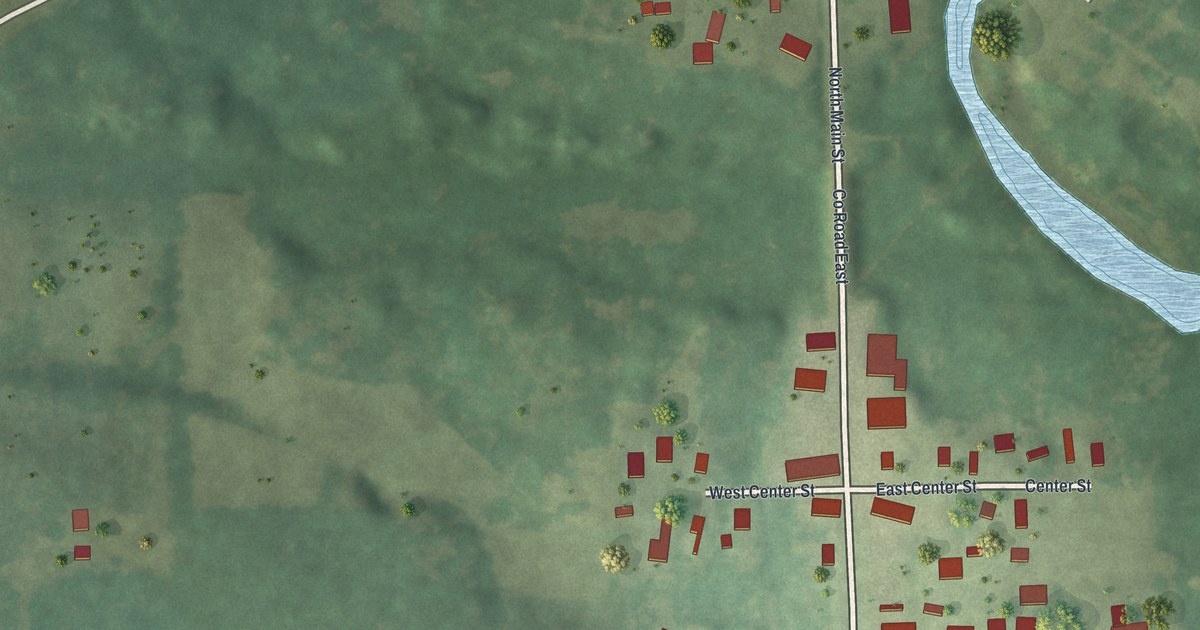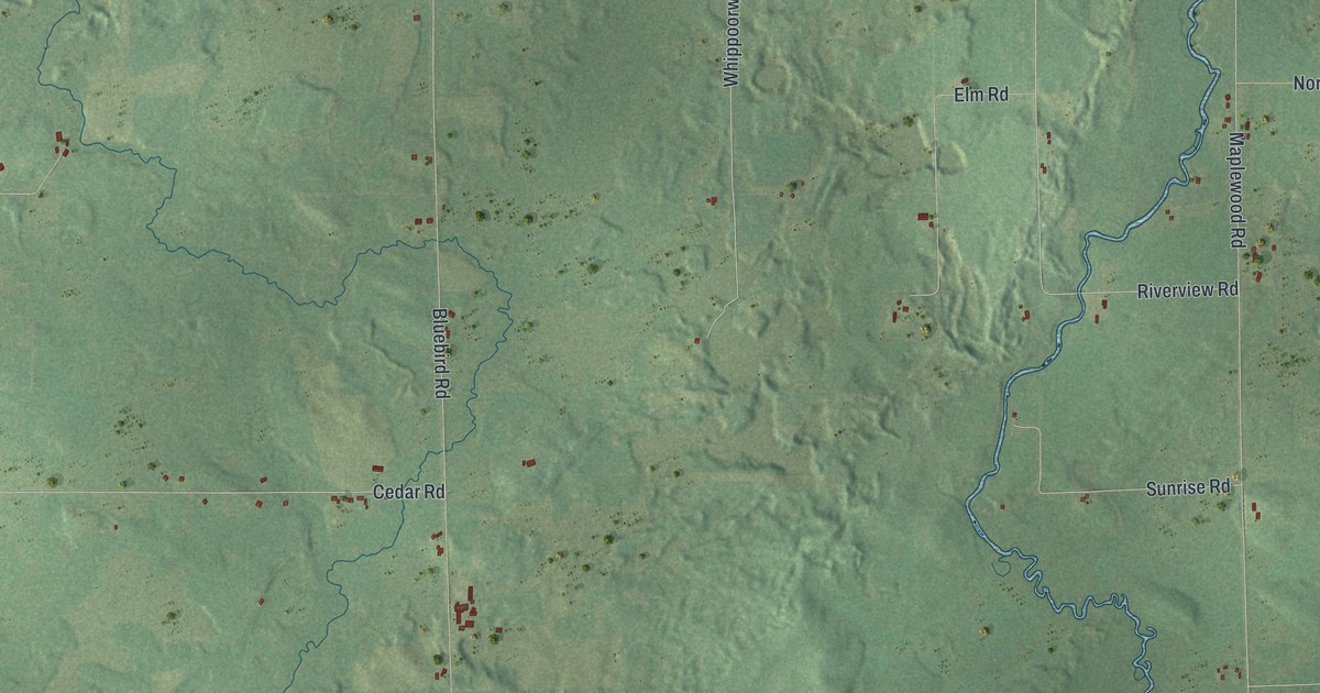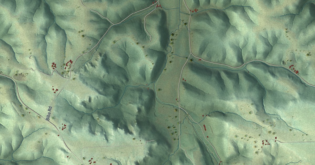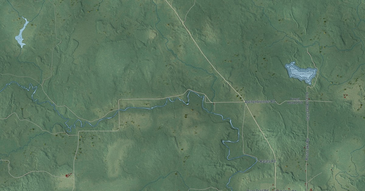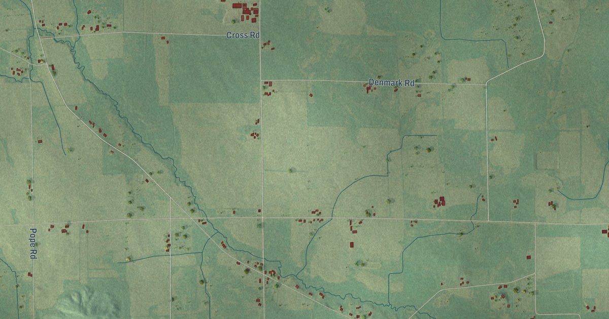
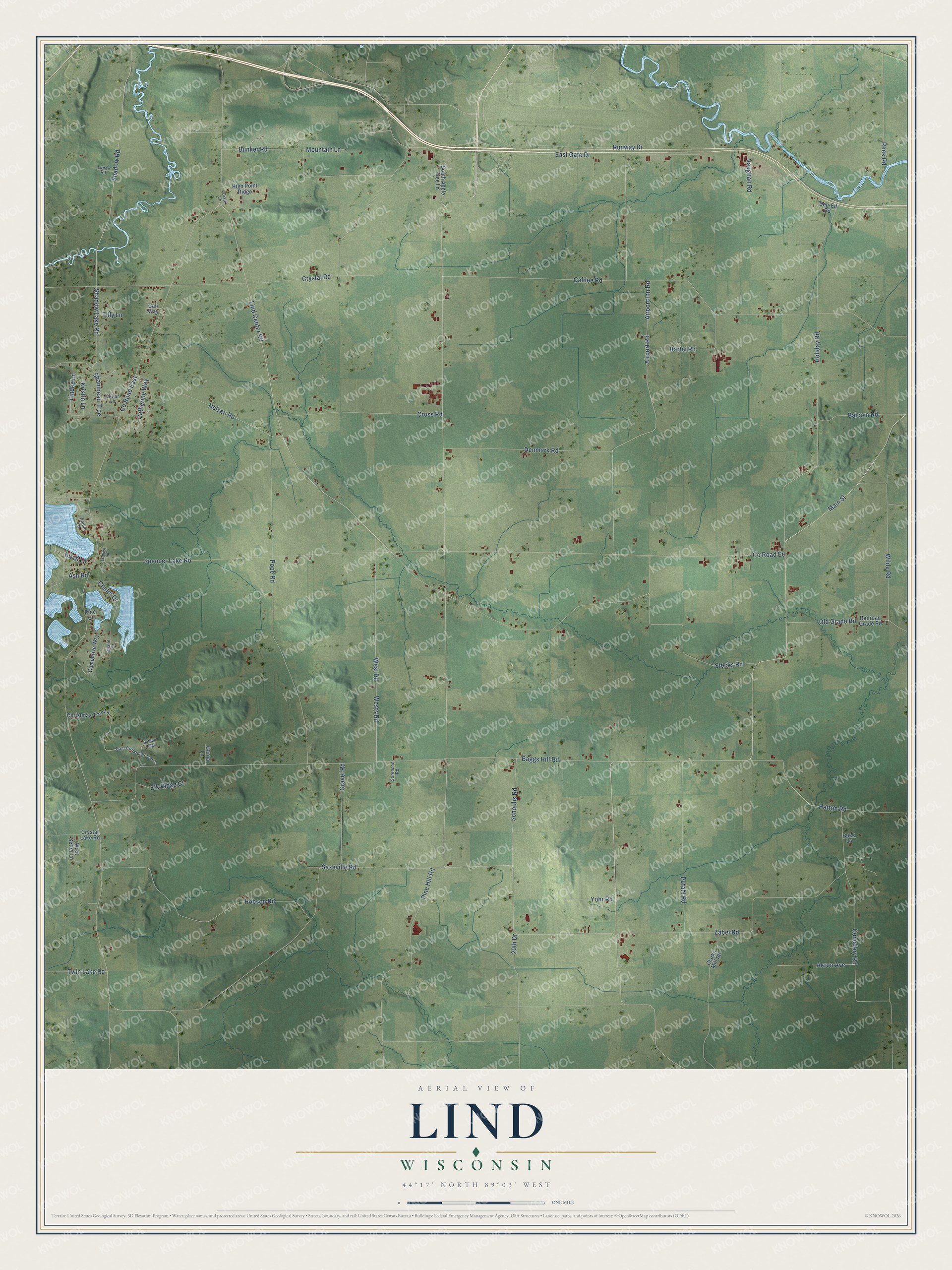
This beautifully detailed map of Lind, Wisconsin was created in 2026 using aerial imagery combined with modern topographical, census, street and landmark data. It's a modern aerial view of Lind in Waupaca County, Wisconsin, that combines modern data with a vintage aesthetic. The roads feature printed names, and if you look closely you can find your exact house accurately shown in its correct location.
Explore an aerial view of Lind, Wisconsin
On this map you'll find Baggs Hill Road, Shadow Road, Lind Center Road, Co Road East, Pine Hill Road, Old Grade Road, Co Road Ee, Main Street, Galilee Road, Airport Inn Road, Airport Road, Crystal Road, and more. Each red shape is a building, so zoom in on the preview and look for yours.
Lind has a story worth telling. The History of Waupaca County puts it this way: "Mr. Taggart named the town in honor of the famous Swedish singer, Jenny Lind. The mail was carried on foot, once a week, to Berlin and back."
Lind is a town in Waupaca County. The Census Bureau counted 1,571 people here in 2020.
Take a closer look at the Lind map
Names on this map
These names are printed on this map.
Streets and roads: Baggs Hill Road, Shadow Road, Lind Center Road, County Road East, Pine Hill Road, Old Grade Road, County Road Ee, Main Street, Galilee Road, Airport Inn Road, Airport Road, Crystal Road.
More street names, A to Z
29th Drive, Akron Avenue, Ash Road, Balcom Road, Bartel Road, Birch Lane, Buck Lane, Buffalo Ridge, Bunker Road, Cali Way, Campdrive Way, Catherine Way, Cedar Lane, Cemetery Road, Chalet Court, Chalet Drive, Christmas Tree Lane, Clarks Mill Road, Cross Road, Crystal Lake Road, Den-Ed Road, Denmark Road, Dixie Lane, East Christmas Tree Lane, East Gate Drive, Elk Ridge Court, Gloria Lane, Gravel Road, Hatton Road, High Point Ridge, Hobson Road, Holiday Road, Kristin Lane, Lindee Lane, Locust Lane, Lunde Road, Marion Lane, Mountain Lane, Nelsen Road, Pine Court, Pope Road, Pufahl Road, Railroad Grade Road, Reek Road, Runway Drive, Saxeville Road, Schoohs Road, Shadow Lake Road, Shambeau Trce, Sorenson Road, South Apple Tree Lane, Spencer Lake Road, Stecks Road, Tilly Lane, Twin Lake Road, Vaughan Road, West Road, West Setter Lane, Wests Road, Wilde Road, Yohr Road, Zabel Road.
Created by KNOWOL in 2026. The buildings are small red shapes, the roads carry their printed names, and shaded relief shows the shape of the land. The title panel reads "AERIAL VIEW OF LIND, WISCONSIN" with 44°17' NORTH 89°03' WEST.
It looks right in a kitchen, an office or a den, and it's a gift for anyone who grew up in Lind or moved away. Open the preview and find your street. See sizes and frames for the Lind map.