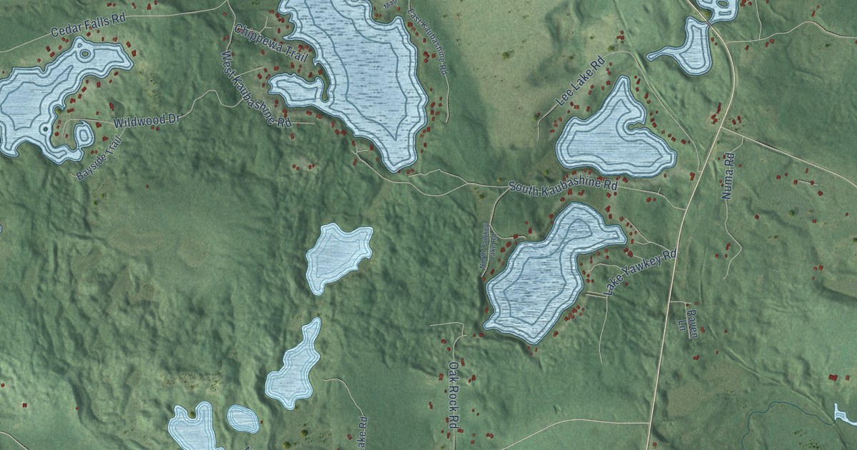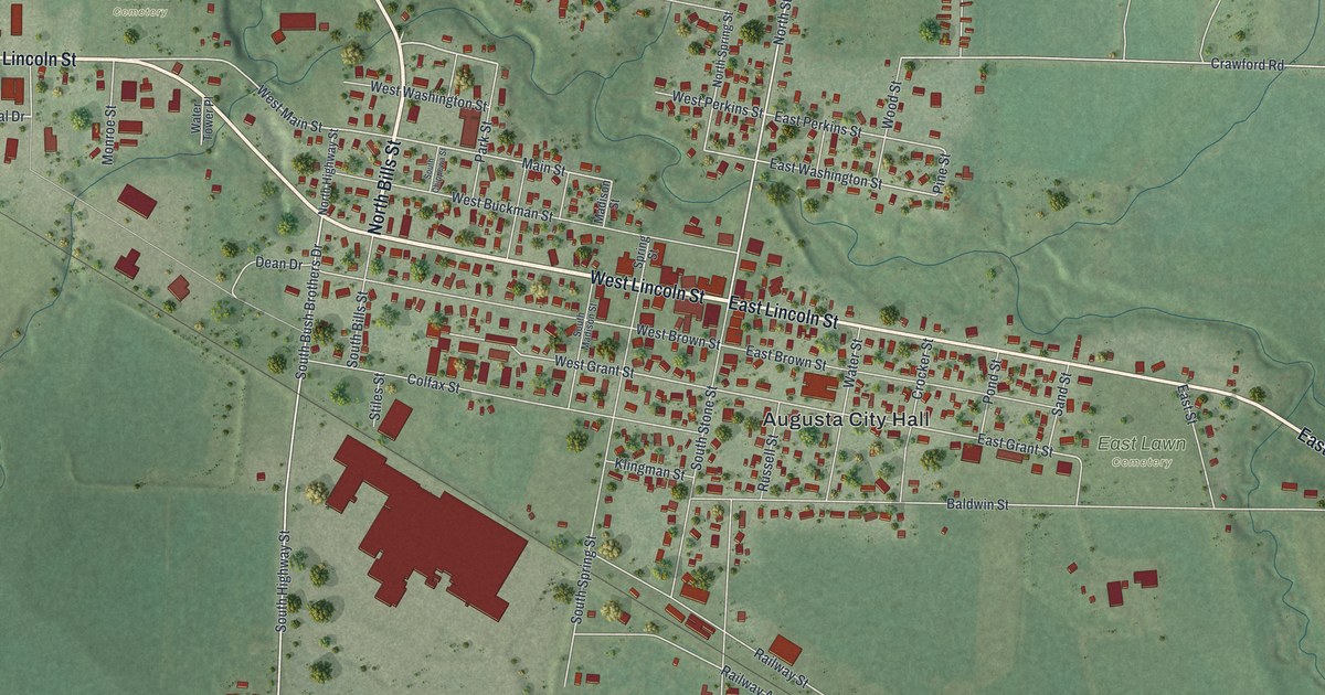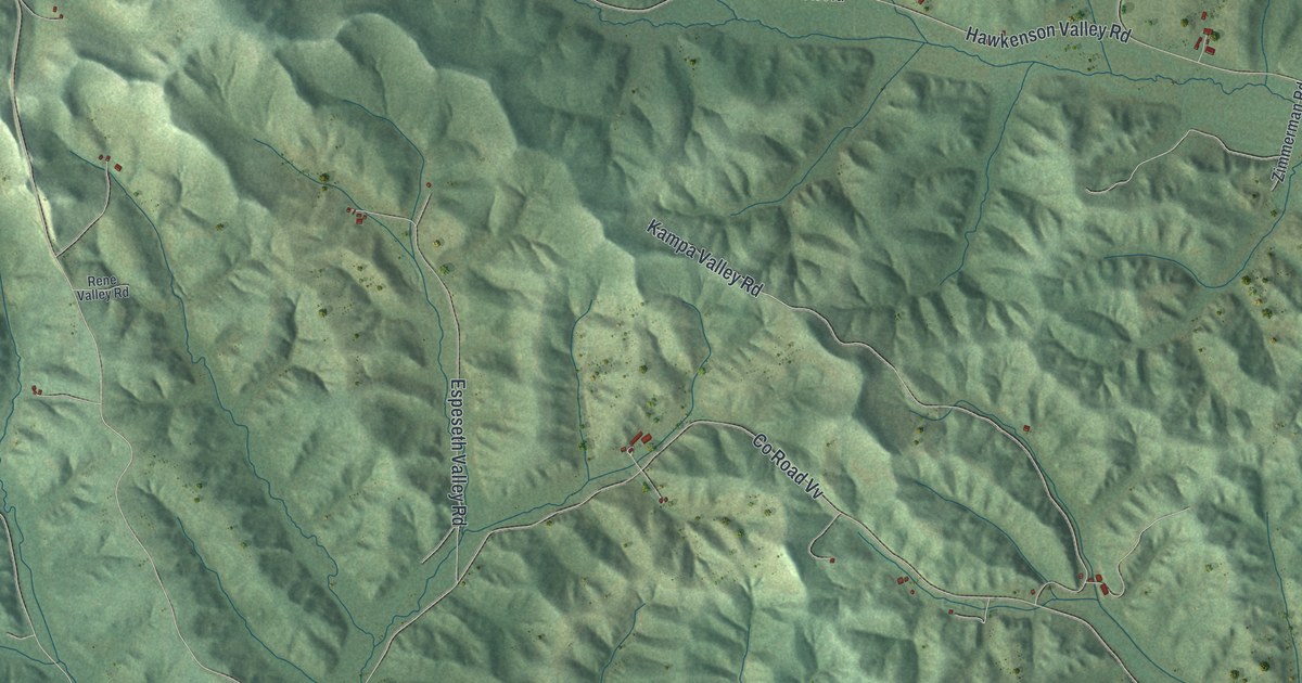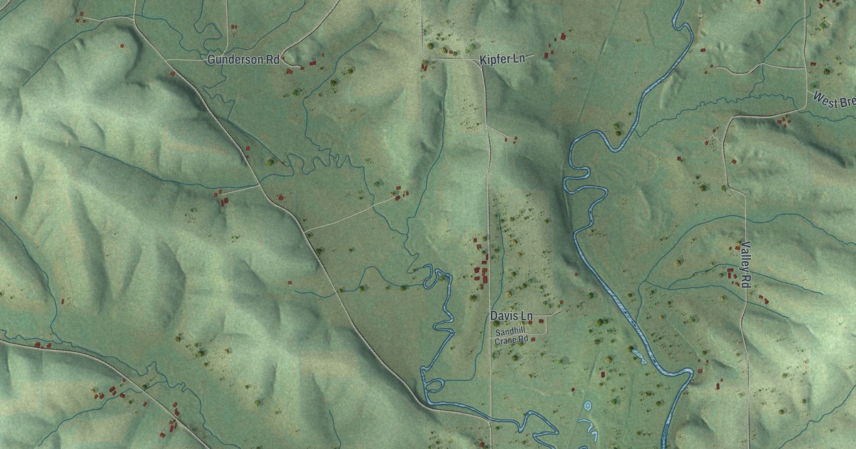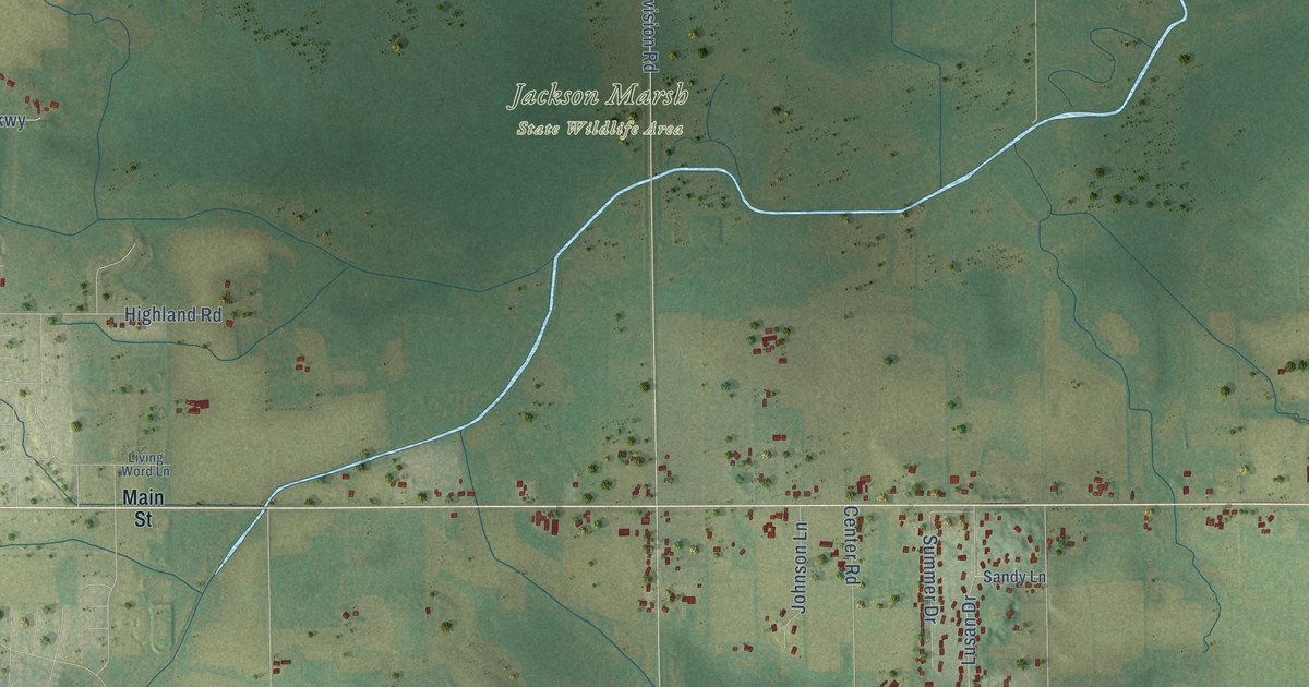
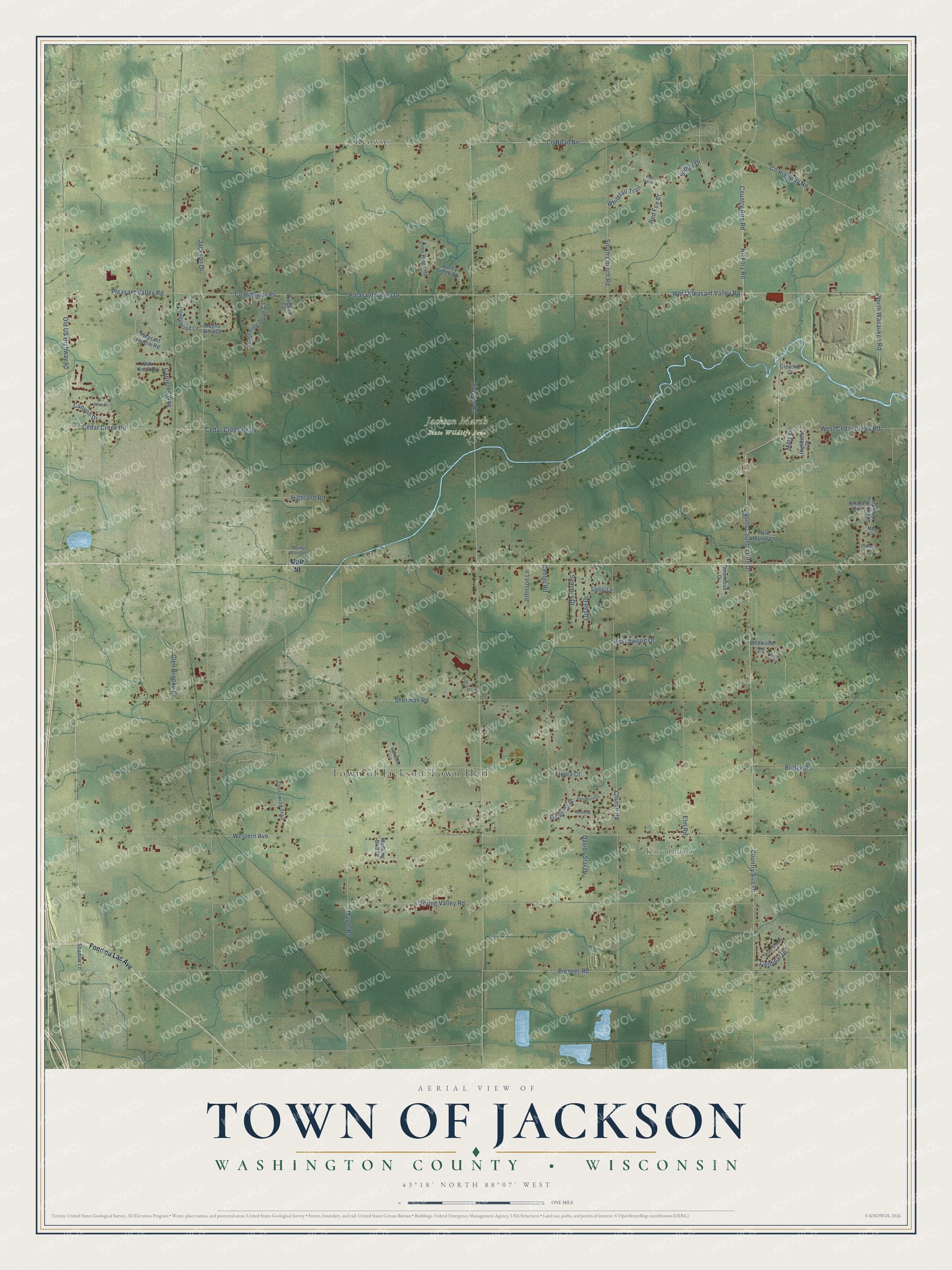
This beautifully detailed map of Jackson, Wisconsin was created in 2026 using aerial imagery combined with modern topographical, census, street and landmark data. It's a modern aerial view of Jackson in Washington County, Wisconsin, that combines modern data with a vintage aesthetic. The roads feature printed names, and if you look closely you can find your exact house accurately shown in its correct location.
Explore an aerial view of Jackson, Wisconsin
On this map you'll find Town of Jackson Town Hall, Kirchhayn, Jackson Marsh State Wildlife Area, Keowns, Pleasant Valley Drive, West Pleasant Valley Road, Hickory Road, Country Aire Road, Pioneer Road, Co Road Nn, Carneros Way, Co Highway Nn, and more. Each red shape is a building, so zoom in on the preview and look for yours.
Jackson has a story worth telling. The Internet Archive puts it this way: "McKensie; Constable on south side of Cedar Creek, Thomas Fagan; School Commis-
sioners, William Vogenitz, Thomas Brophy."
Jackson is a town in Washington County. The Census Bureau counted 4,629 people here in 2020.
Take a closer look at the Jackson map
Names on this map
These names are printed on this map.
Places: Town of Jackson Town Hall, Kirchhayn, Jackson Marsh State Wildlife Area and Keowns.
Streets and roads: Pleasant Valley Drive, West Pleasant Valley Road, Hickory Road, Country Aire Road, Pioneer Road, County Road Nn, Carneros Way, County Highway Nn, Country Aire Drive, Division Road, Western Avenue, Sherman Road.
More street names, A to Z
Beechwood Drive, Benton Way, Bobolink Drive, Briarwood Drive, Bridge Road, Camaosa Court, Canyon Drive, Cardinal Drive, Cedar Creek Parkway, Cedar Creek Road, Center Road, Church Road, County Highway Pv, Cresthill Court, Crosswind Trail, Davids Star Drive, Dry Gulch Drive, El Camino Drive, Elm Road, Fiesta Court, Fond du Lac Avenue, Glen Brooke Drive, Hacienda Lane, Highland Road, Highview Drive, Honeywood Lane, Jackson Drive, Johnson Lane, Kingbird Court, Lime Ridge Road, Living Word Lane, Lusan Drive, Magna Vista Drive, Main Street, Maple Road, Mary Lane, Mira Court, Mocking Bird Drive, Monticello Road, Mourning Dove Court, North Country Aire Drive, North Wasaukee Road, Oak Knoll Drive, Old US Highway 45, Park Manor Court, Pleasant Hollow Road, Pleasant Valley Road, Ponderosa Drive, Red Fox Court, Red Fox Lane, Sandy Lane, Senior Drive, Shadow Lane, South Church Road, Spring Valley Road, Stoney Creek Road, Strawberry Glen Drive, Summer Drive, Tessla Run Terrace, West Cedar Creek Road, Whitetail Trail, Wildflower Lane, Wildwood Lane.
Created by KNOWOL in 2026. The buildings are small red shapes, the roads carry their printed names, and shaded relief shows the shape of the land. The title panel reads "AERIAL VIEW OF TOWN OF JACKSON, WASHINGTON COUNTY • WISCONSIN" with 43°18' NORTH 88°07' WEST.
It looks right in a kitchen, an office or a den, and it's a gift for anyone who grew up in Jackson or moved away. Open the preview and find your street. See sizes and frames for the Town of Jackson, Washington County map.