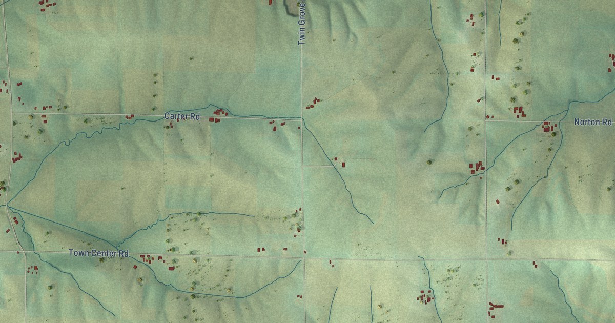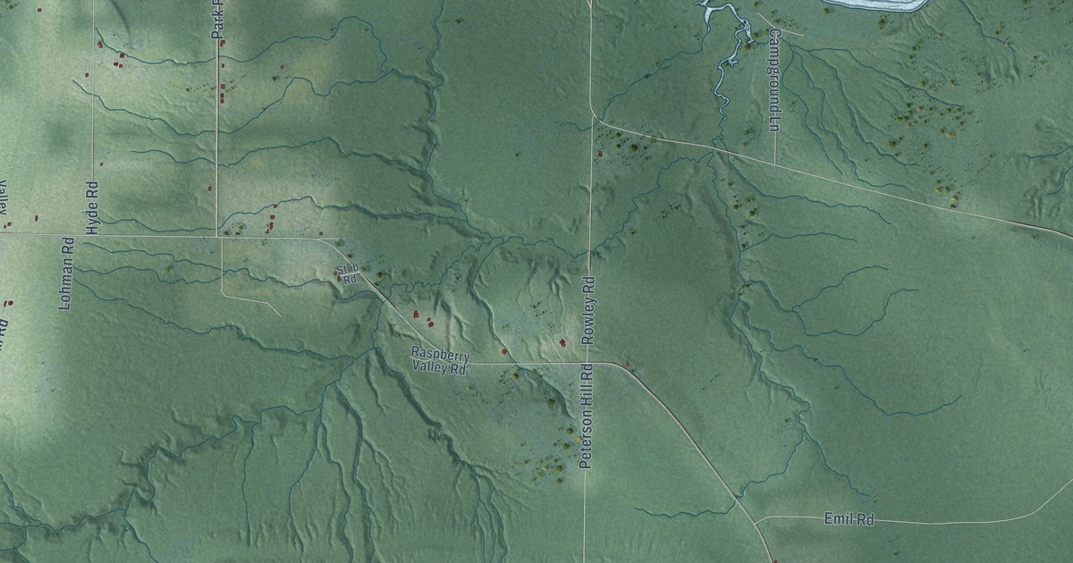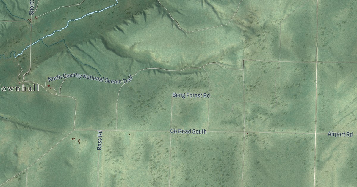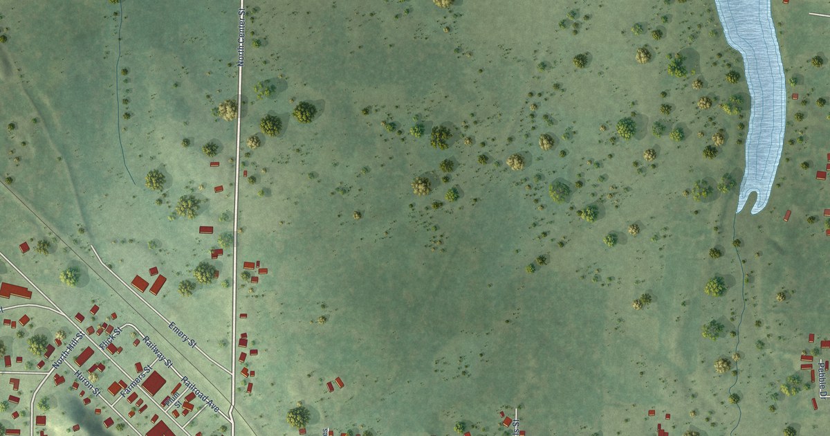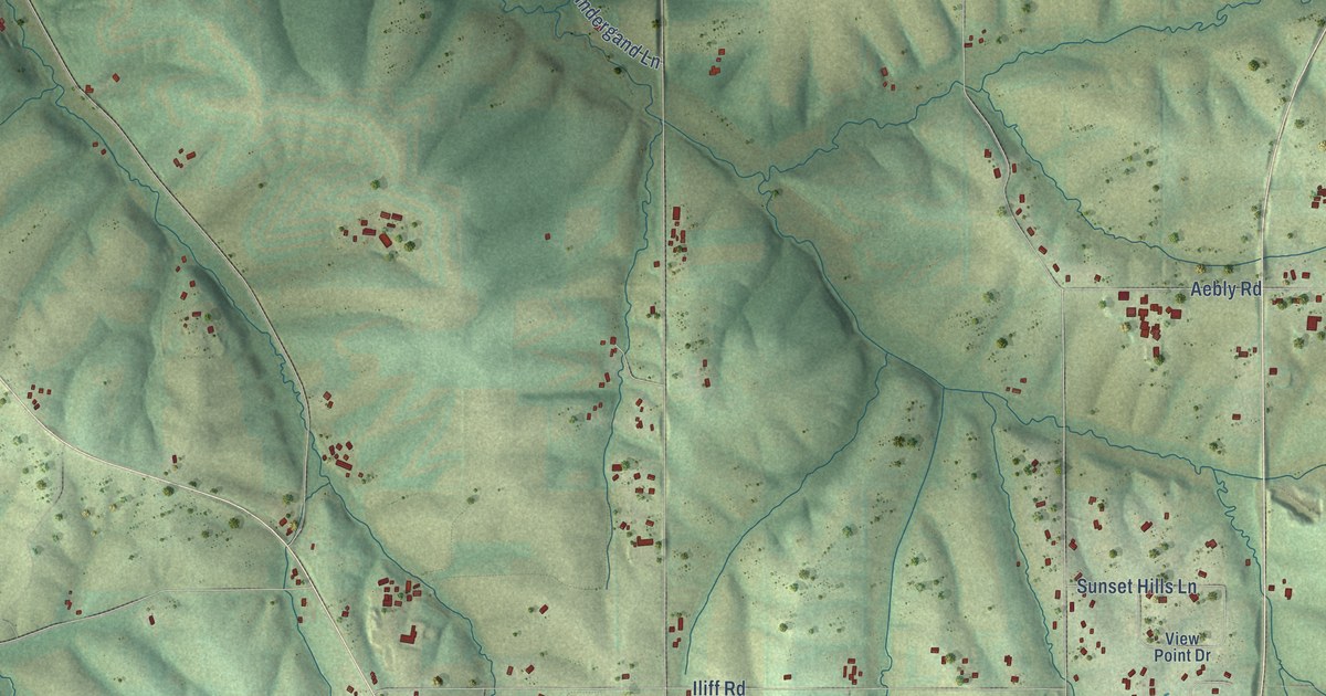
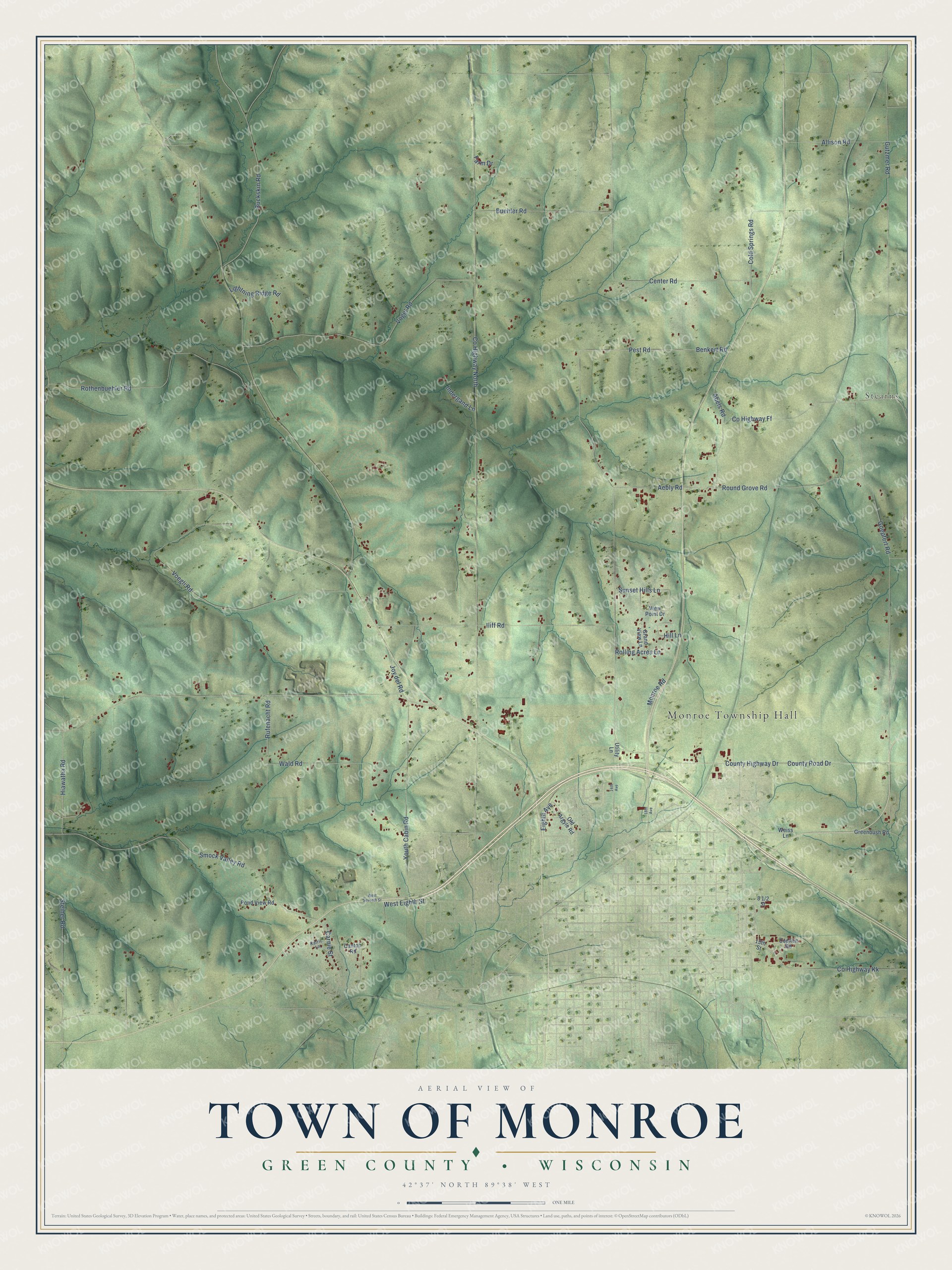
This beautifully detailed map of Monroe, Wisconsin was created in 2026 using aerial imagery combined with modern topographical, census, street and landmark data. It's a modern aerial view of Monroe in Green County, Wisconsin, that combines modern data with a vintage aesthetic. The roads feature printed names, and if you look closely you can find your exact house accurately shown in its correct location.
Explore an aerial view of Monroe, Wisconsin
On this map you'll find Monroe Township Hall, Stearns, Aebly Road, Co Highway North, Voegli Road, Co Highway Ff, Smock Valley Road, Benkert Road, Center Road, Vogel Road, Iliff Road, County Highway Drive, and more. Each red shape is a building, so zoom in on the preview and look for yours.
Monroe has a story worth telling. The Internet Archive puts it this way: "The principal build-
ings on the poor farm were destroyed by fire on the last
day of May, 1S77, but new buildings will be erected as
soon as possible."
Monroe is a town in Green County. The Census Bureau counted 1,291 people here in 2020.
Take a closer look at the Monroe map
Names on this map
These names are printed on this map.
Places: Monroe Township Hall and Stearns.
Streets and roads: Aebly Road, County Highway North, Voegli Road, County Highway Ff, Smock Valley Road, Benkert Road, Center Road, Vogel Road, Iliff Road, County Highway Drive, County Road Drive, Rothenbuehler Road.
More street names, A to Z
13th Street, 14th Avenue, 18th Avenue, Abels Road, Allison Road, Buckskin Road, Buehler Road, Canton Road, Carnie Street, Cold Springs Road, Coplien Road, County Highway Kk, Eighth Avenue, Farm Drive, Goepfert Road, Grand View Lane, Greenbush Road, Gutzmer Road, Hiawatha Road, Hill Lane, Indergand Lane, Joy del Road, Karric Lane, Lightning Ridge Road, Monroe Road, Old Argyle Road, Pest Road, Pond View Road, Rolling Acres Lane, Round Grove Road, Rufenacht Road, Steiner Road, Sunset Hills Lane, Utility Lane, View Point Drive, Wald Road, Weiss Lane, West Eighth Street, West Seventh Street, Youth Cabin Road.
Created by KNOWOL in 2026. The buildings are small red shapes, the roads carry their printed names, and shaded relief shows the shape of the land. The title panel reads "AERIAL VIEW OF TOWN OF MONROE, GREEN COUNTY • WISCONSIN" with 42°37' NORTH 89°38' WEST.
It looks right in a kitchen, an office or a den, and it's a gift for anyone who grew up in Monroe or moved away. Open the preview and find your street. See sizes and frames for the Town of Monroe, Green County map.