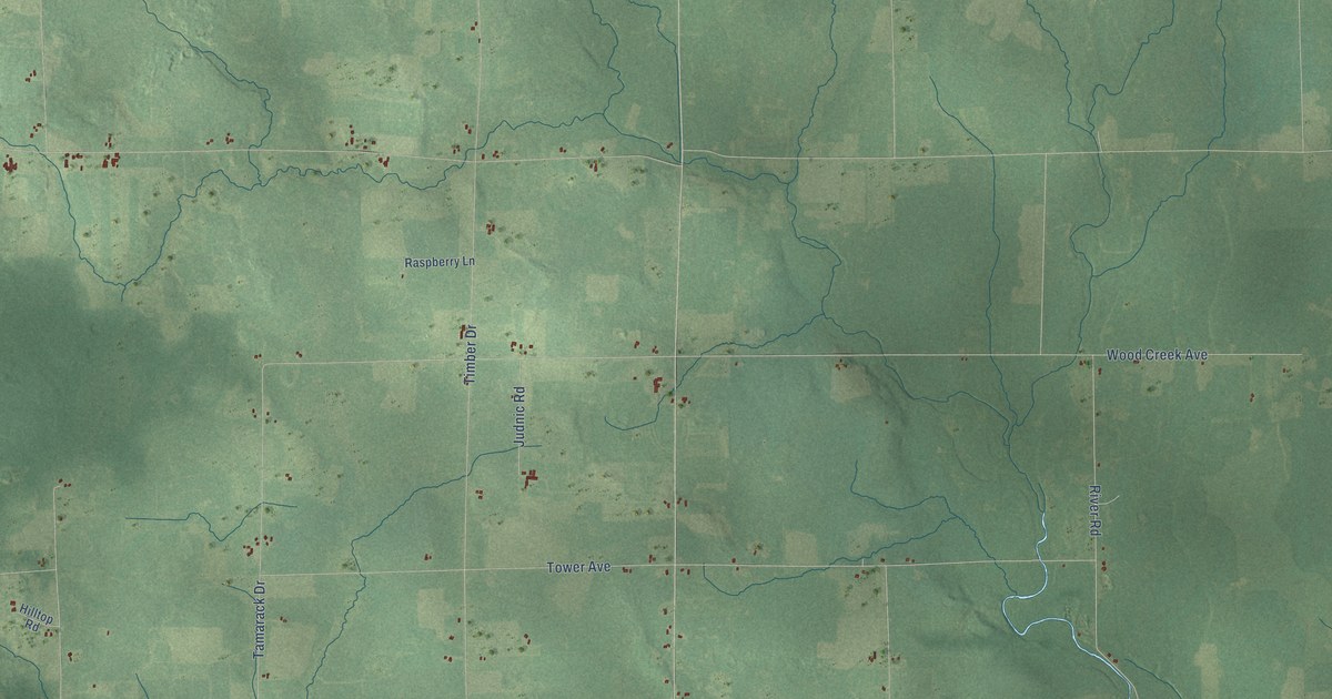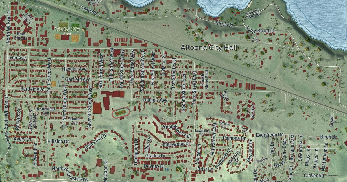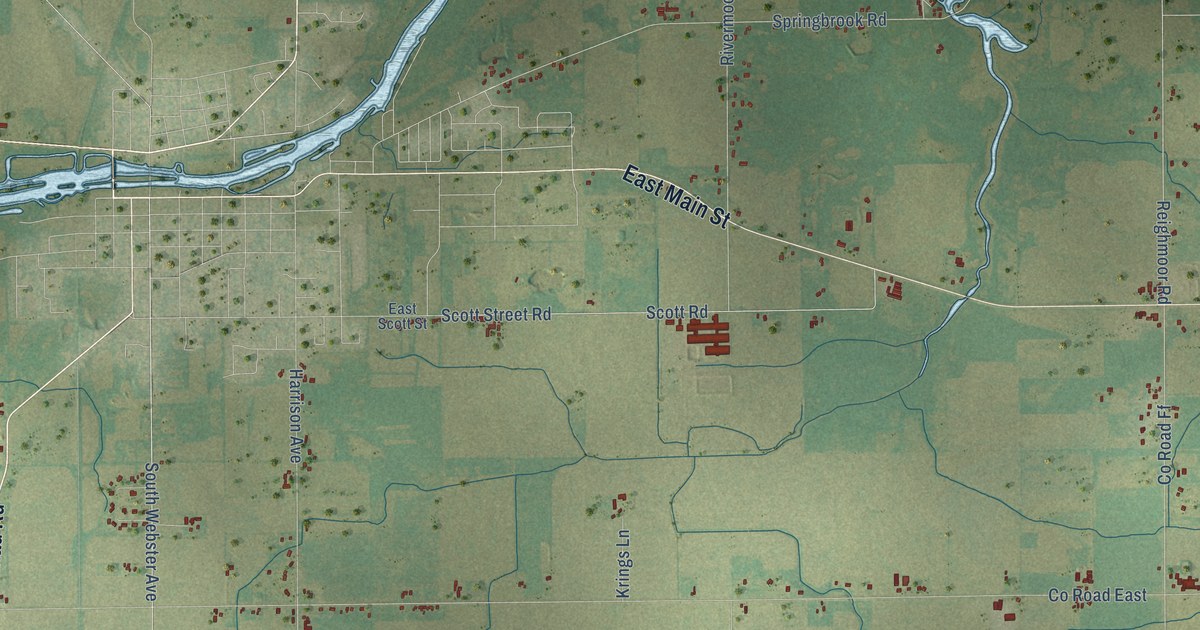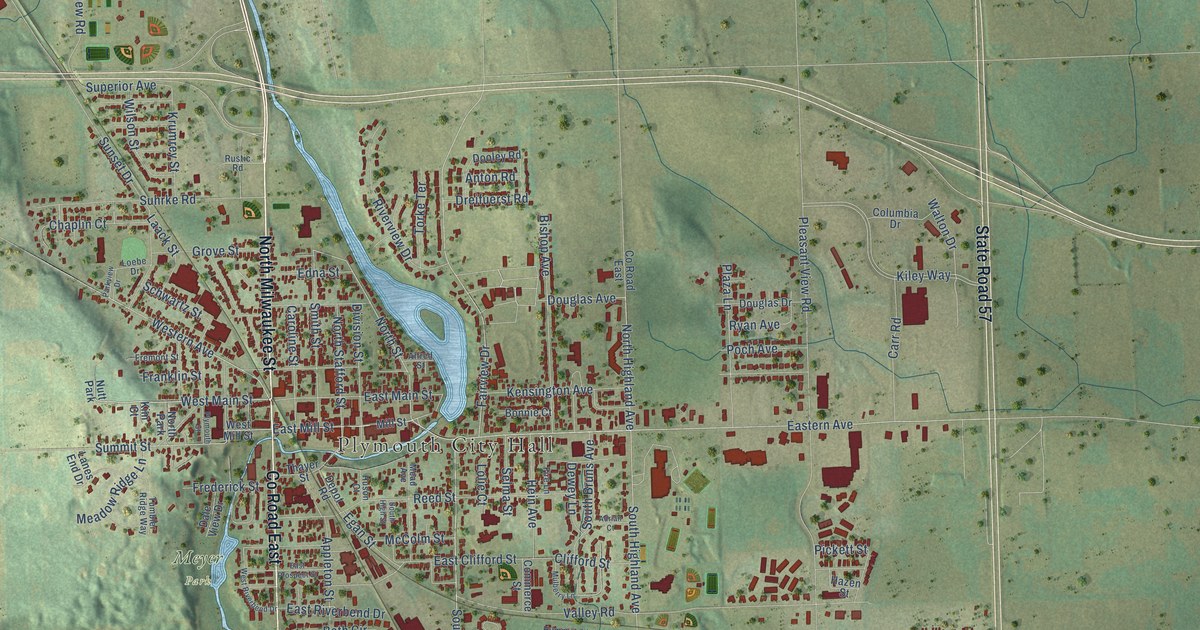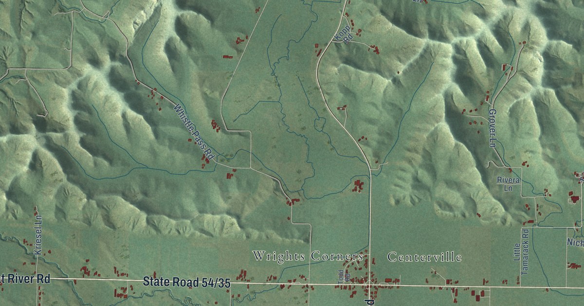
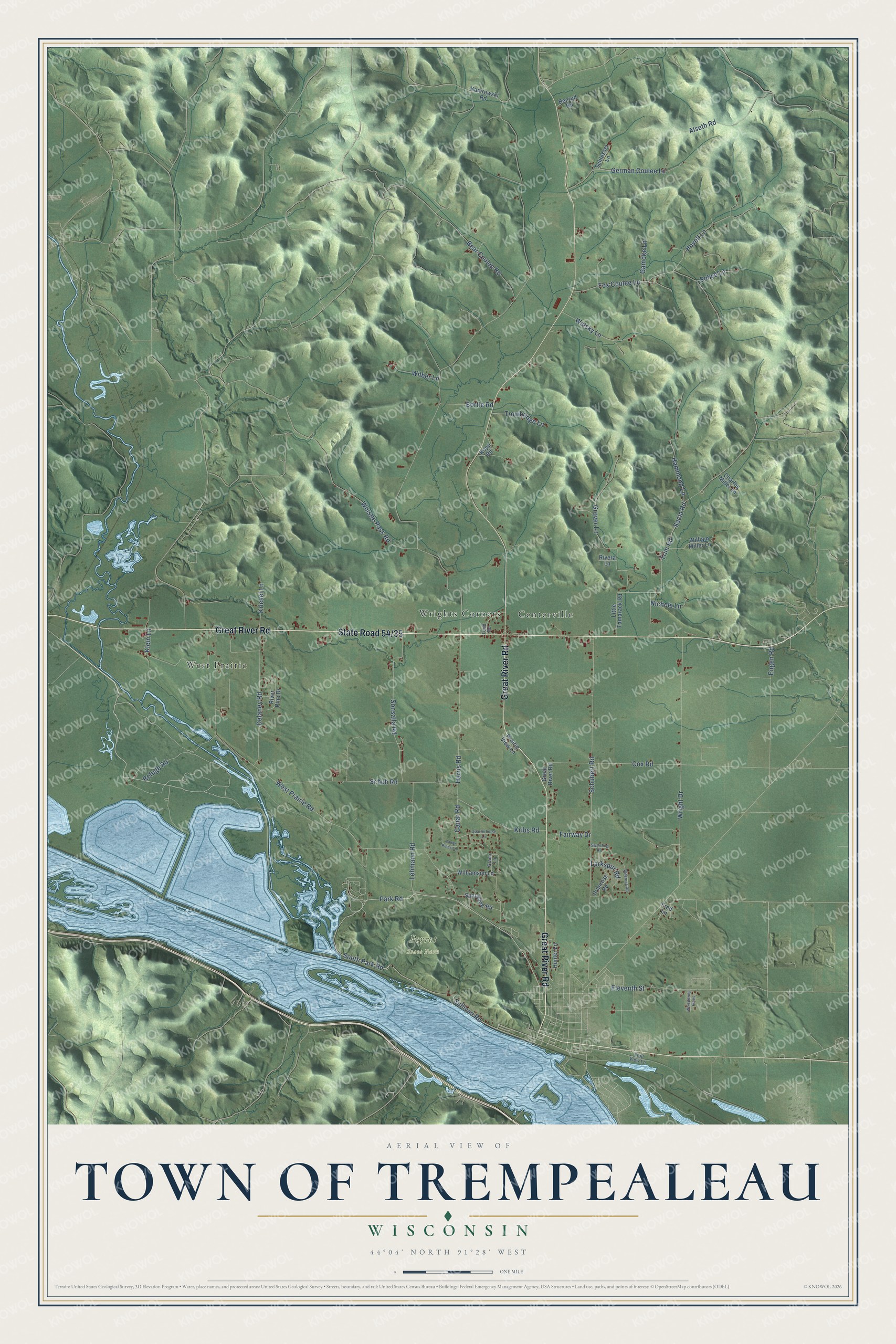
This beautifully detailed map of Trempealeau, Wisconsin was created in 2026 using aerial imagery combined with modern topographical, census, street and landmark data. It's a modern aerial view of Trempealeau in Trempealeau County, Wisconsin, that combines modern data with a vintage aesthetic. The roads feature printed names, and if you look closely you can find your exact house accurately shown in its correct location.
Explore an aerial view of Trempealeau, Wisconsin
On this map you'll find Perrot State Park, Centerville, West Prairie, Wrights Corners, State Road 54/35, Great River Road, Park Road, South Park Road, Sullivan Road, West Prairie Road, Schubert Road, Wright Drive, and more. Each red shape is a building, so zoom in on the preview and look for yours.
Here is a piece of Trempealeau history, in the words of the record. The Trempealeau County History puts it this way: "Thomas Drugan was perhaps the first Irish settler in Trempealeau County. He came to Trempealeau in 1853 and settled on a farm in the town of Trempealeau."
Trempealeau is a town in Trempealeau County. The Census Bureau counted 1,951 people here in 2020.
Take a closer look at the Trempealeau map
Names on this map
These names are printed on this map.
Places: Perrot State Park, Centerville, West Prairie and Wrights Corners.
Streets and roads: Great River Road, Park Road, South Park Road, Sullivan Road, West Prairie Road, Schubert Road, Wright Drive, Trim Road, Schuh Road, Grover Lane, Cox Road, Sonsalla Road.
More street names, A to Z
Alseth Road, Bear Coulee Road, Benrud Road, Bortle Road, Canar Pines Lane, Canar Road, Charles Miller Lane, Delaney Road, Eleventh Street, Engen Road, Fairway Drive, Fox Coulee Lane, Fred Lane, Gamoke Lane, German Coulee Lane, Grana Lane, Hammond Lane, Harris Road, Hovell Lane, Hunter Lane, Kamrowski Road, Klein Lane, Kopp Road, Kribs Road, Kriesel Lane, Larkspur Road, Lehmann Road, Little Tamarack Road, Nichols Lane, Prairie View Lane, Primrose Road, Quarterhorse Lane, Refuge Road, Rivera Lane, River Pine Drive, Sacia Road, Schlesser Lane, Sobye Lane, Spaulding Road, Swartling Road, Todd Road, Trail View Lane, Trowbridge Lane, Walsky Lane, Whispering Pines, Whistle Pass Road, Wilber Lane, Wildrose Road, William Miller Lane, Williamson Lane.
Created by KNOWOL in 2026. The buildings are small red shapes, the roads carry their printed names, and shaded relief shows the shape of the land. The title panel reads "AERIAL VIEW OF TOWN OF TREMPEALEAU, WISCONSIN" with 44°04' NORTH 91°28' WEST.
It suits a den, a classroom or a front hall, and it makes a gift for anyone with Trempealeau roots. Open the preview and find the block you know. See sizes and frames for the Town of Trempealeau map.