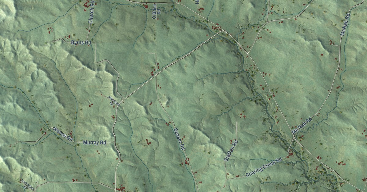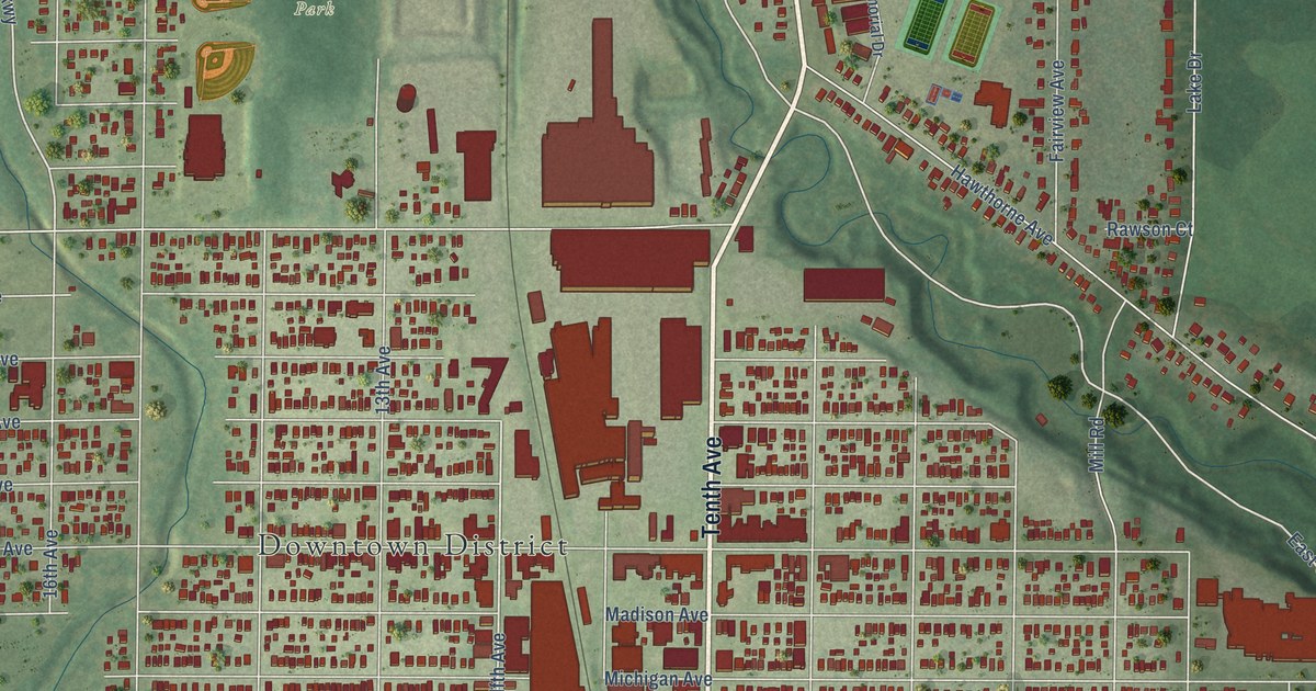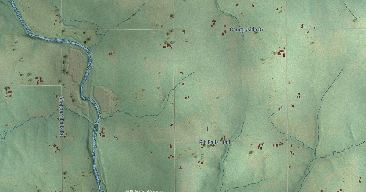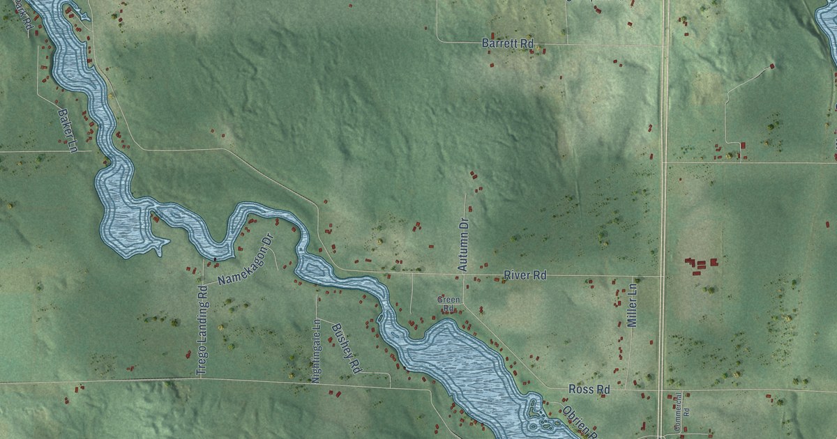
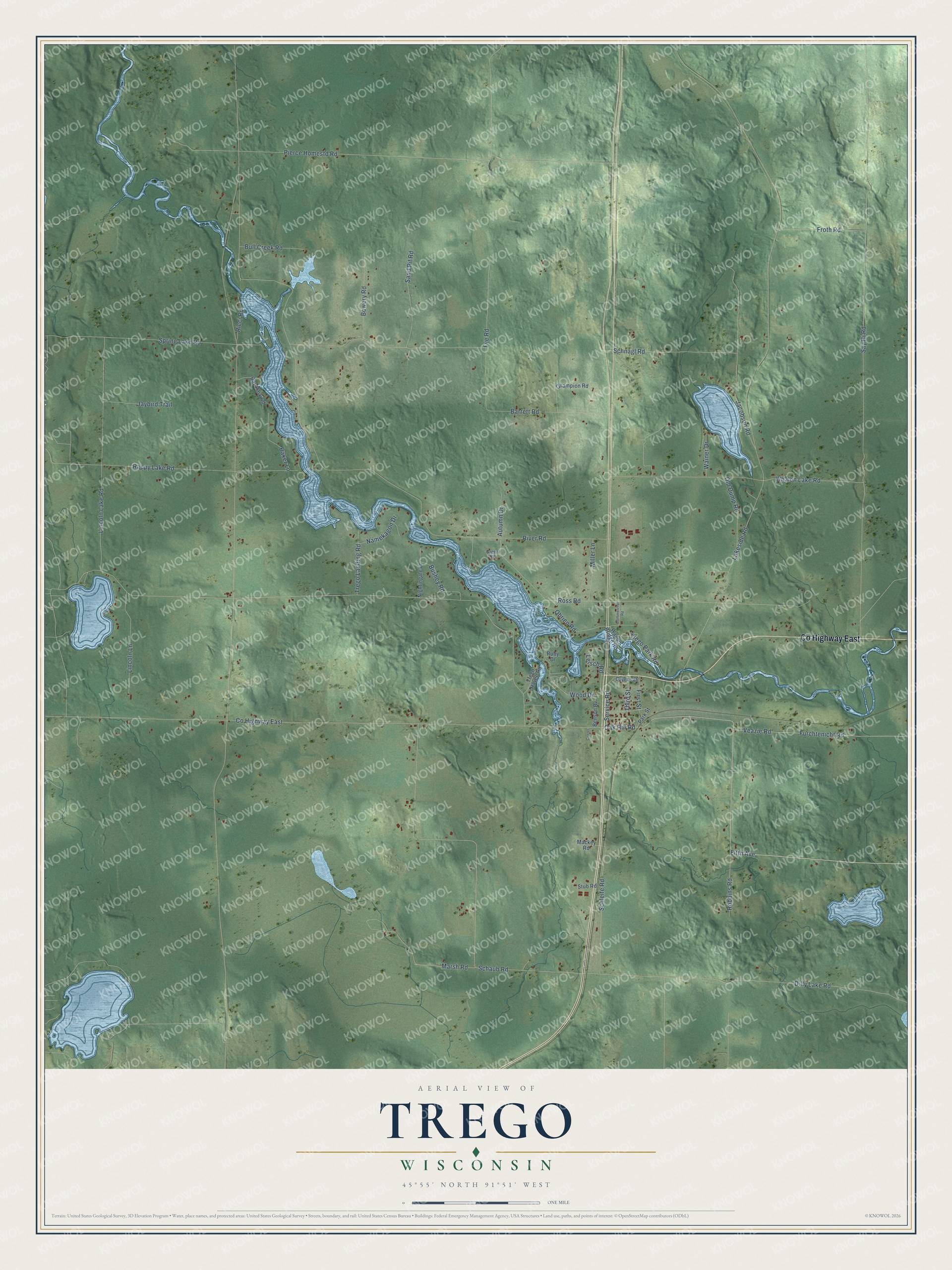
This beautifully detailed map of Trego, Wisconsin was created in 2026 using aerial imagery combined with modern topographical, census, street and landmark data. It's a modern aerial view of Trego in Washburn County, Wisconsin, that combines modern data with a vintage aesthetic. The roads feature printed names, and if you look closely you can find your exact house accurately shown in its correct location.
Explore an aerial view of Trego, Wisconsin
On this map you'll find Co Highway East, Oak Hill Road, Fifth Avenue, Third Street, Furchtenicht Road, River Road, Lakeside Road, Schaub Road, Barrett Road, Say Hi Road, Ross Road, Dilly Lake Road, and more. Each red shape is a building, so zoom in on the preview and look for yours.
Every town has a first chapter, and Trego is no exception. The Washburn County Tourism puts it this way: "For many years, Trego was a major hub for blueberry shipments to the twin cities. The State Bank of Trego building, built in 1910, is still standing as a reminder of Trego's long history."
Trego is a town in Washburn County. The Census Bureau counted 908 people here in 2020.
Take a closer look at the Trego map
Names on this map
These names are printed on this map.
Streets and roads: County Highway East, Oak Hill Road, Fifth Avenue, Third Street, Furchtenicht Road, River Road, Lakeside Road, Schaub Road, Barrett Road, Say Hi Road, Ross Road, Dilly Lake Road.
More street names, A to Z
Autumn Drive, Baker Lane, Bay Park Road, Benson Bv, Bowery Road, Bull Creek Road, Bushey Road, Center, Champion Road, Commercial Road, First Street, Froth Road, Fye Road, Green Road, Jacobson Road, Jaybird Trail, Leisch Road, Lincoln Lake Road, Lincoln Lane, Mackey Road, Marsh Road, Miller Lane, Namekagon Drive, Nightingale Lane, Obrien Road, Old Dump Road, Owens Drive, Park Street, Pierce Homestd Road, Rappy Lake Road, Ricci Road, Robbins Road, Ruby Drive, Sand Pit Road, Schleife Road, Schnagl Road, Service Road, Spring Lake Road, Stub Road, Trego Haven Road, Trego Landing Road, Trego Park Road, Veazie Road, Wagon Bridge Road, Wainer Drive, Whalen Lake Road, Wood Drive.
Created by KNOWOL in 2026. The buildings are small red shapes, the roads carry their printed names, and shaded relief shows the shape of the land. The title panel reads "AERIAL VIEW OF TREGO, WISCONSIN" with 45°55' NORTH 91°51' WEST.
Hang it in the hallway, the office or the cabin, or give it to someone who left Trego and still calls it home. Open the preview and look for a street you know. See sizes and frames for the Trego map.