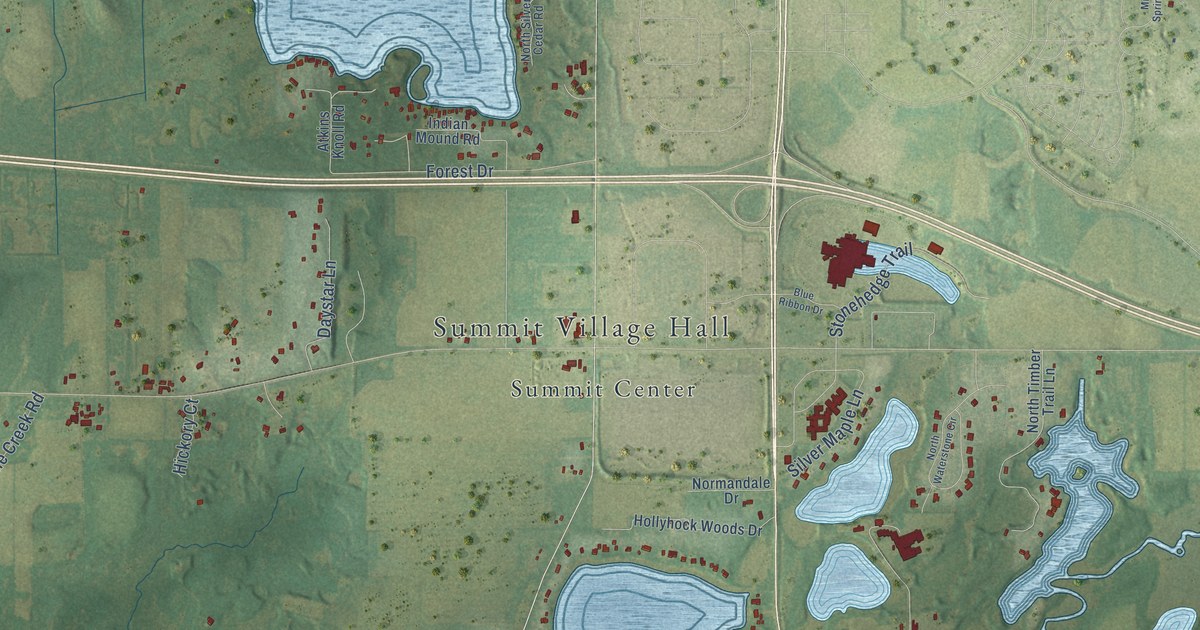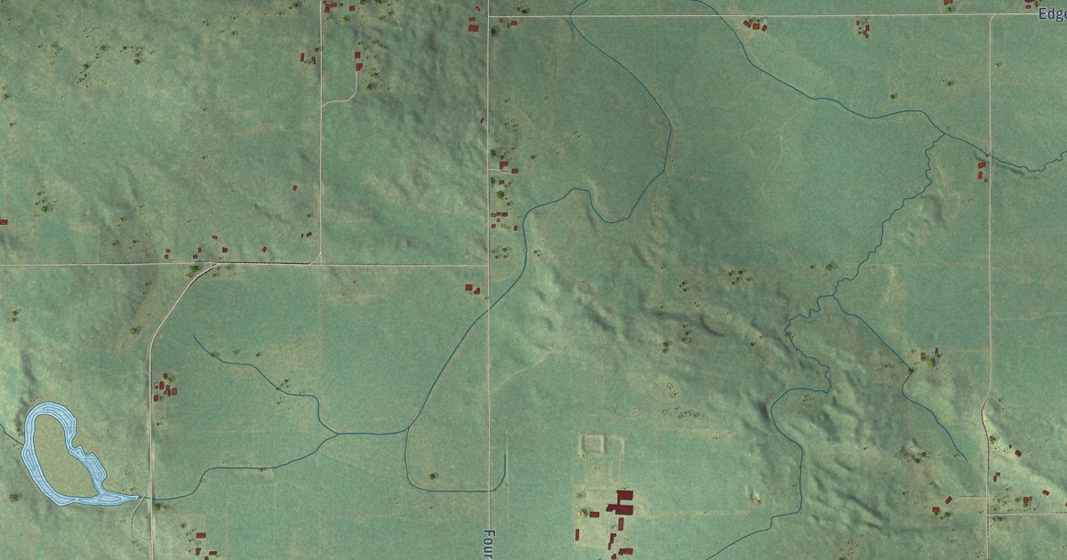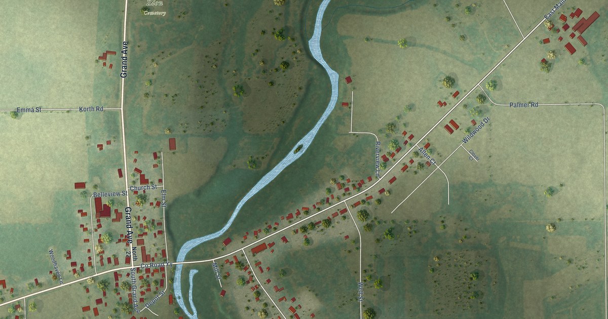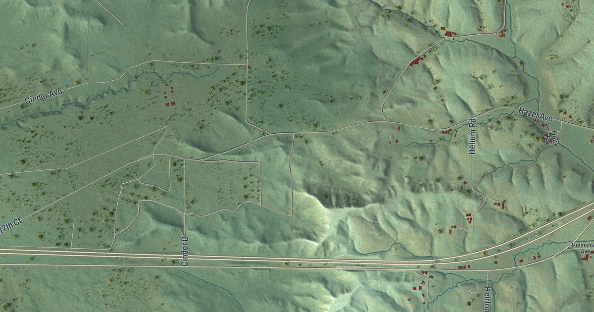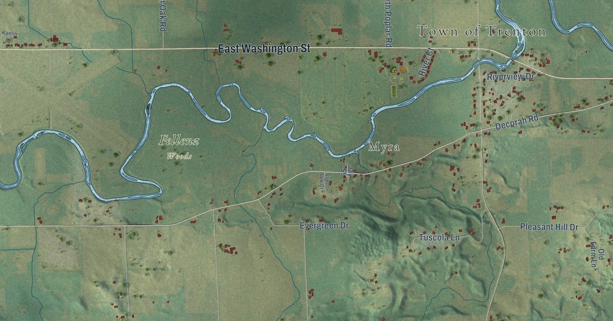
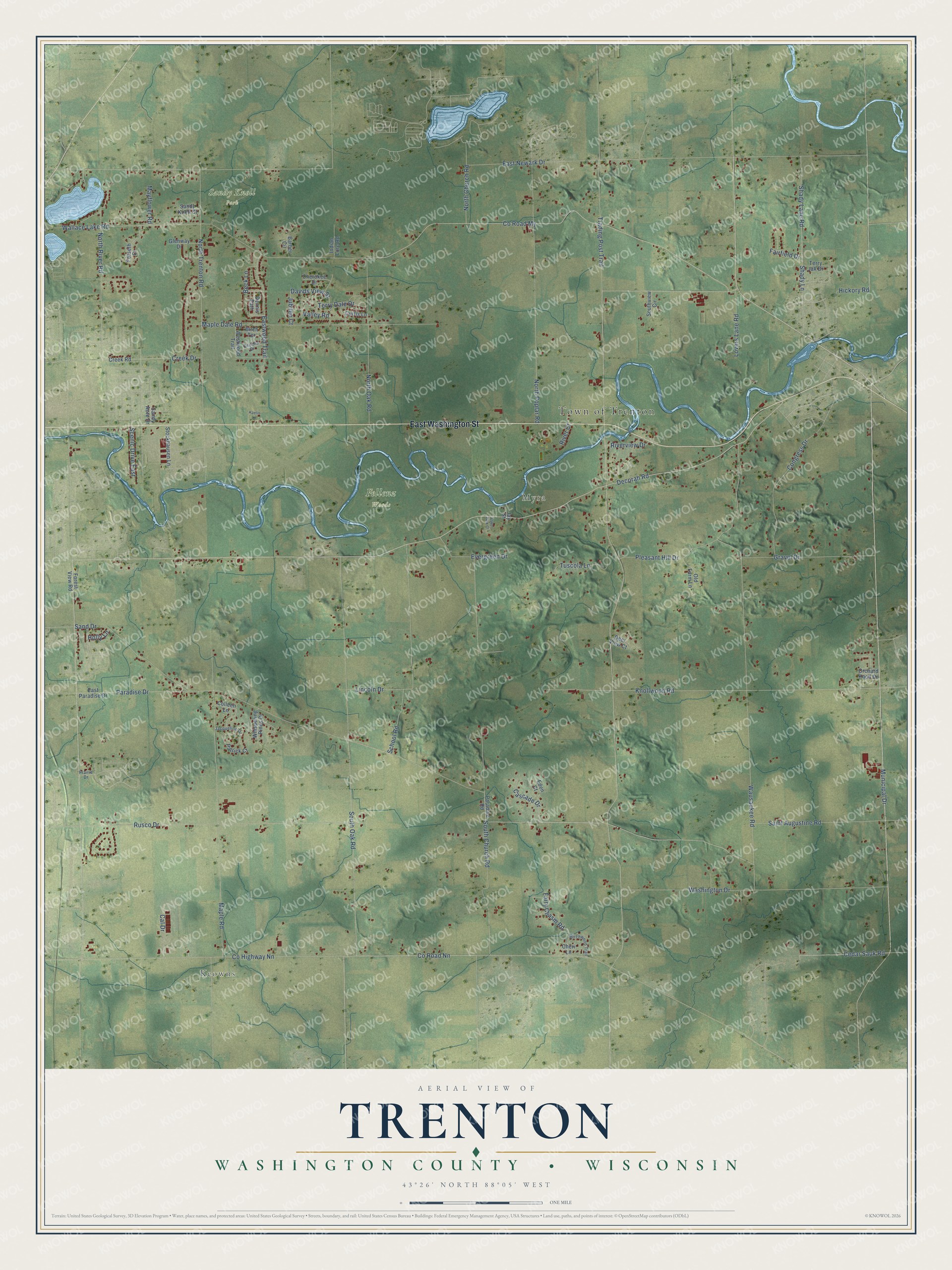
This beautifully detailed map of Trenton, Wisconsin was created in 2026 using aerial imagery combined with modern topographical, census, street and landmark data. It's a modern aerial view of Trenton in Washington County, Wisconsin, that combines modern data with a vintage aesthetic. The roads feature printed names, and if you look closely you can find your exact house accurately shown in its correct location.
Explore an aerial view of Trenton, Wisconsin
On this map you'll find Town of Trenton, Keowns, Myra, Fellenz Woods, Sandy Knoll Park, East Washington Street, Paradise Drive, Decorah Road, Municipal Drive, Rusco Drive, Cedar Sauk Road, Co Road Nn, and more. Each red shape is a building, so zoom in on the preview and look for yours.
Here is a piece of Trenton history, in the words of the record. The U.S. Geological Survey puts it this way: "After the devastating 1993 Mississippi River flood, the US Government assisted in buying out the residents of the town. The Government bought and demolished 64 homes and businesses."
Trenton is a town in Washington County. The Census Bureau counted 4,525 people here in 2020.
Take a closer look at the Trenton map
Names on this map
These names are printed on this map.
Places: Town of Trenton, Keowns, Myra, Fellenz Woods and Sandy Knoll Park.
Streets and roads: East Washington Street, Paradise Drive, Decorah Road, Municipal Drive, Rusco Drive, Cedar Sauk Road, County Road Nn, South Oak Road, Shady Lane Road, Hickory Road, County Road My, Wallace Lake Road.
More street names, A to Z
Barber Circle, Beck Lane, Birch Terrace, Birchwood Trail, Cal Drive, Cascade Drive, Cecelia Drive, Cheri Lane, Cherokee Drive, Colleen Lane, Congress Drive, County Highway Nn, Creek Drive, Creek Road, Curtis Lane, Davids View Street, Deer View Court, Dennis Path, East Newark Drive, East Paradise Drive, Eastwood Trail, Eden Court, Esker Park Court, Evergreen Drive, Fairfield Drive, Fairy Chasm Road, Forest View Road, Forseth Court, Glenway Drive, Gravel Drive, Holly Lane, Indian Lore Road, Jacqueline Drive, Jay Street, Jubilee Court, Kaelin Lane, Knollwood Road, Lincoln Drive, Lovers Lane Road, Maple Dale Road, Maple Road, Mayflower Road, North Church Road, North Oak Road, North Poplar Road, North River Road, North Trenton Road, Old Farm Lane, Orchard Knoll Drive, Paradise Road, Patrick Court, Pleasant Hill Drive, Prairie Drive, River Court, Riverview Drive, Saint Augustine Road, Sand Drive, Sandy Acre Drive, Sandy Knoll Court, Scenic Drive East, School Road, Shady Lane, South Church Road, Southview Circle, Stockhausen Lane, Terry Dale Drive, Terry Jak Drive, Trading Post Trail, Tuscola Lane, Valley Road, Washington Drive, Wausaukee Road, Westwood Trail, Whispering Pines Drive.
Created by KNOWOL in 2026. The buildings are small red shapes, the roads carry their printed names, and shaded relief shows the shape of the land. The title panel reads "AERIAL VIEW OF TRENTON, WASHINGTON COUNTY • WISCONSIN" with 43°26' NORTH 88°05' WEST.
It suits a den, a classroom or a front hall, and it makes a gift for anyone with Trenton roots. Open the preview and find the block you know. See sizes and frames for the Trenton, Washington County map.