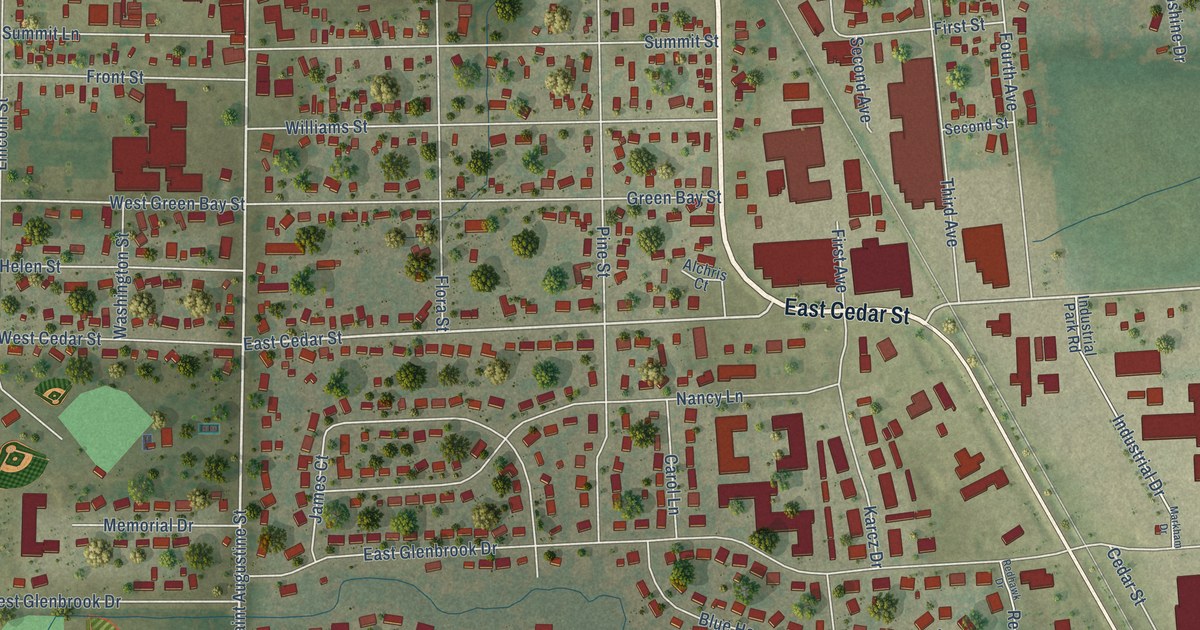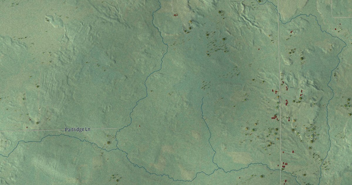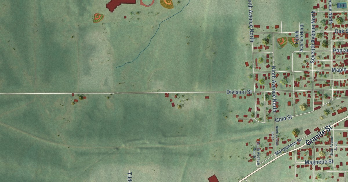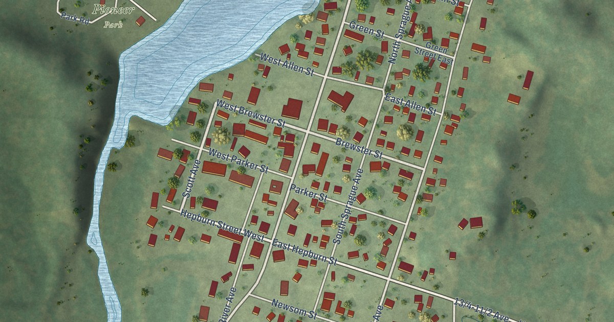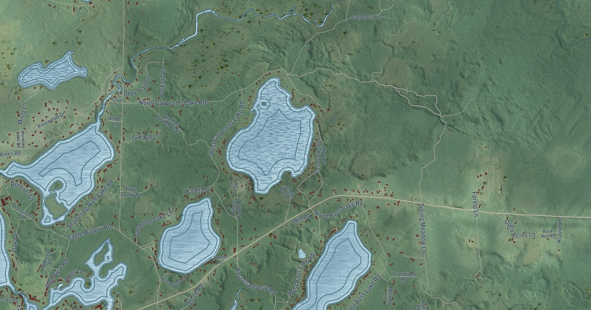
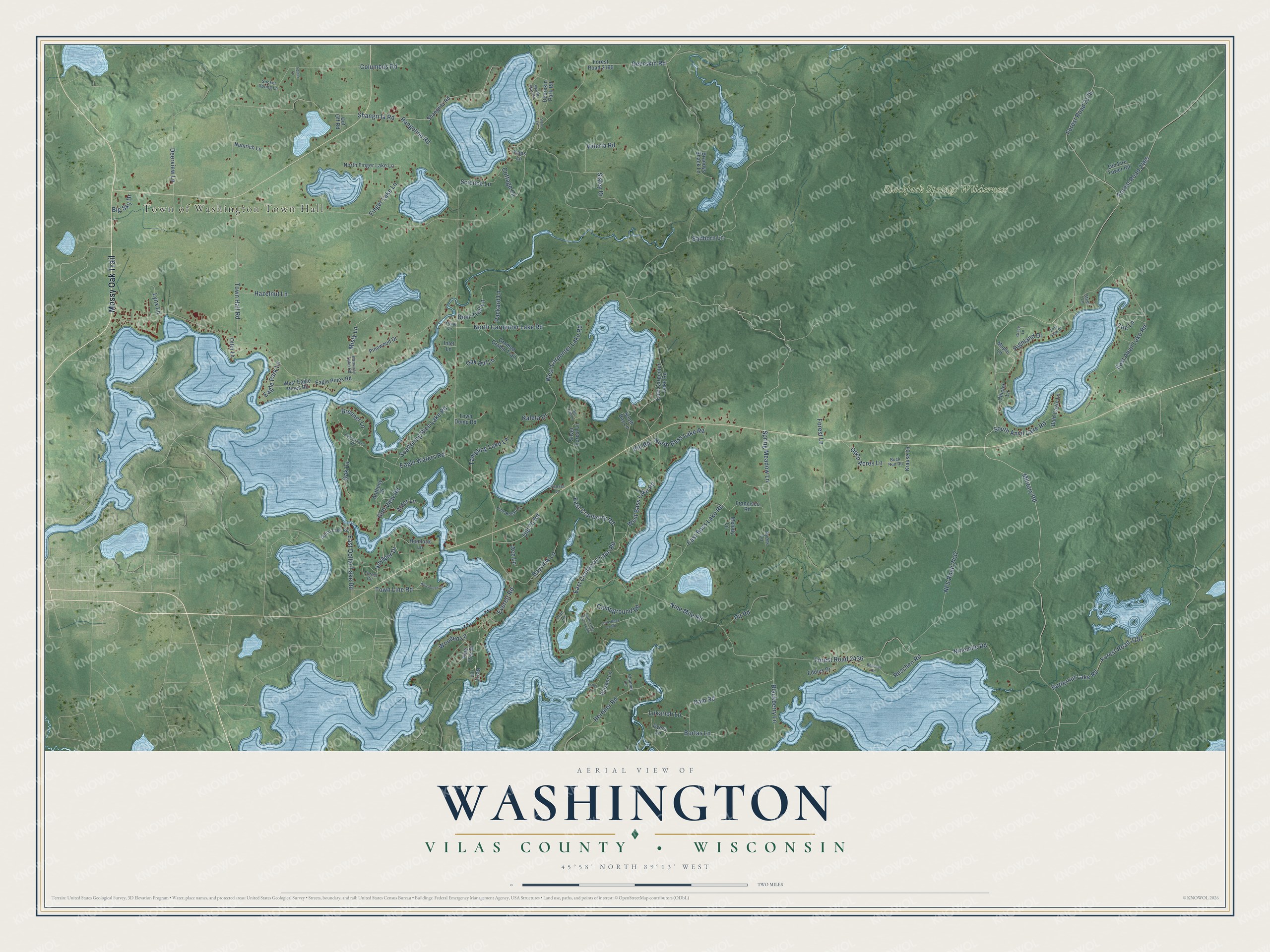
This beautifully detailed map of Washington, Wisconsin was created in 2026 using aerial imagery combined with modern topographical, census, street and landmark data. It's a modern aerial view of Washington in Vilas County, Wisconsin, that combines modern data with a vintage aesthetic. The roads feature printed names, and if you look closely you can find your exact house accurately shown in its correct location.
Explore an aerial view of Washington, Wisconsin
On this map you'll find Town of Washington Town Hall, Blackjack Springs Wilderness, Mossy Oak Trail, Military Road, Dam Road, Everett Road, Voyager Drive, West Bass Lake Road, South Anvil Lake Road, Open Acres Lane, Forest Road 2178, Deerskin Road, and more. Each red shape is a building, so zoom in on the preview and look for yours.
Washington is a town in Vilas County. The Census Bureau counted 1,587 people here in 2020. The map prints the town name in its title panel, with the coordinates below it.
Take a closer look at the Washington map
Names on this map
These names are printed on this map.
Places: Town of Washington Town Hall and Blackjack Springs Wilderness.
Streets and roads: Mossy Oak Trail, Military Road, Dam Road, Everett Road, Voyager Drive, West Bass Lake Road, South Anvil Lake Road, Open Acres Lane, Forest Road 2178, Deerskin Road, Rangeline Road, Columbus Road.
More street names, A to Z
Ace Lane, Alder Lane, Anthony Drive, Ayers Lane, Bald Eagle Lane, Balsam Lane, Bayview Lane, Berry Lane, Big Fish Lane, Big Sky Drive, Blackberry Lane, Bortas Lane, Brandys Shack Lane, Brenner Lane, Buck Run Road, Butternut Lake Road, Campground Road, Channel Lane, Chiclet Lane, Cottage Lane, Cran Lane, Cut Off Road, Deerskin Park Road, Deer Trail Lane, Deerview Lane, Dollar Lake Road, Dyers Lane, Eagle Park Lane, Eagle Pines Road, Eagle Waters Road, Eaglewaters Road, East Anvil Lake Road, East Bass Lake Road, East Carpenter Lake Road, East Cranberry Lake Road, East Cranberry Road, East Dollar Lake Road, Eddies Drive, Feiner Lane, Finger Lake Lane, Forest Circle, Forest Lane, Forest Road 2181, Forest Road 2199, Forest Road 2436, Forest Road 2465, Francisco Road, Golf View Road, Grace Lane, Grampa Grahm Trail, Harmony Lake Road, Hazelnut Lane, Hemlock Lane, Herdner Road, Highland Drive, Hill Road, Inlet Lane, Kaleta Drive, Kaps Lane, Keichbush Lane, Kitzel Lane, Krause Lane, Little Bass Lk Road, Lukarich Lane, Lynx Lane, Maple Lane, Melody Lane, Miller Lane, Misty Lane, NFS Road 2437, Ninemile Road, Nine Mile Road, North Bass Lake Road, North Carpenter Lake Road, North Finger Lake Lane, North Little Bass Lk Road, Numrich Lane, Oak Hill Lane, Oak Lane, Old 70 Road, Old Fire Tower Road, Otter Lane, Packard Lane, Pine Hollar Lane, Pine Tree Drive, Pinewood Drive, Pit Road, Reschan Road, Reschen Road, Sanborn Lane, Scattering Rice Lake Road, Science Lane, Shangri la Road, Shangrila Road, Silver Forest Lane, Sisley Drive, South Bay Lane, South Star Road, Spring Meadow Lane, Stans Lane, Steel Lane, Sucker Spring Lane, Sunset Lane, Tambling Lake Lane, Town Dump Road, Town Hall Road, Town Line Road, Valeria Road, Vista View Drive, West Carpenter Lake Road, West Eagle Pines Road, Wooded Lane, Zoe Lane.
Created by KNOWOL in 2026. The buildings are small red shapes, the roads carry their printed names, and shaded relief shows the shape of the land. The title panel reads "AERIAL VIEW OF WASHINGTON, VILAS COUNTY • WISCONSIN" with 45°58' NORTH 89°13' WEST.
It looks right in a kitchen, an office or a den, and it's a gift for anyone who grew up in Washington or moved away. Open the preview and find your street. See sizes and frames for the Washington, Vilas County map.