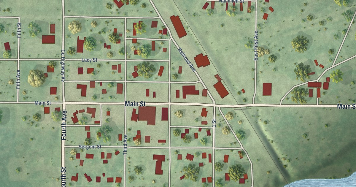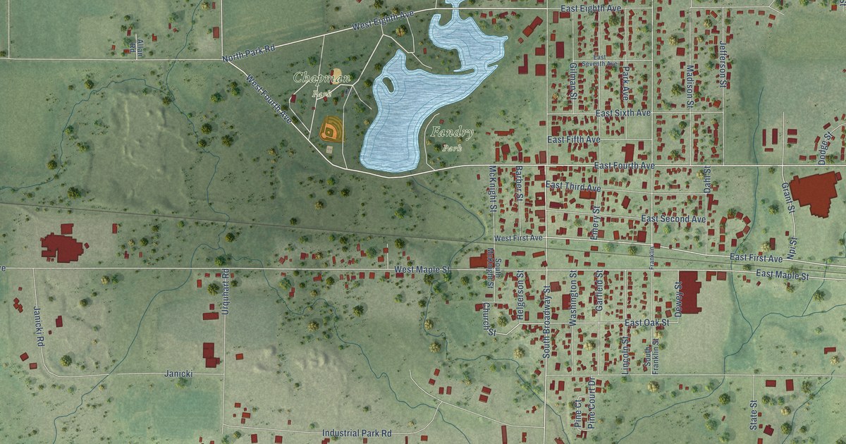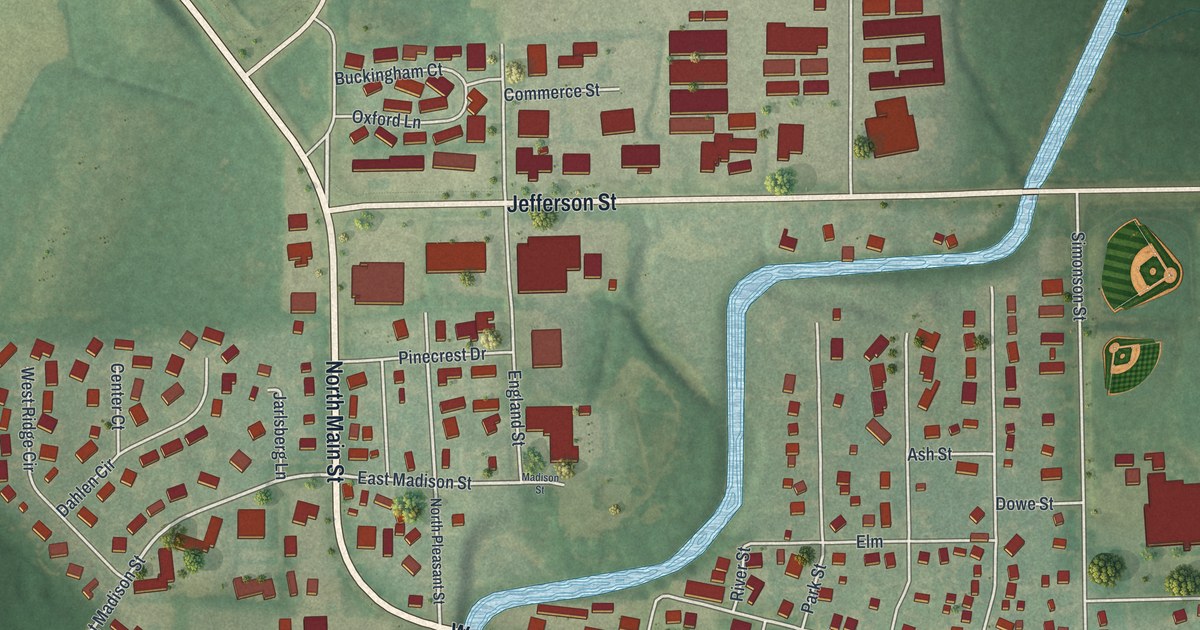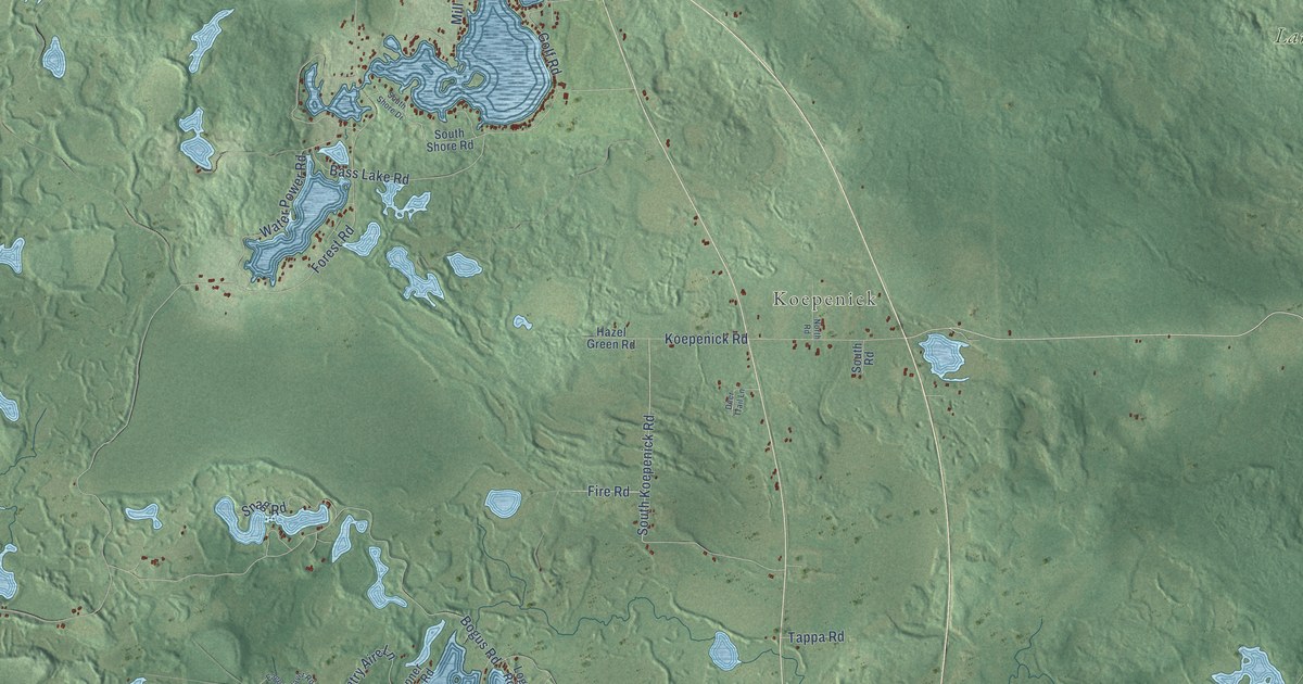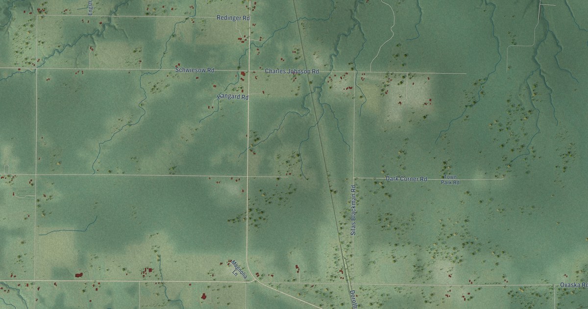
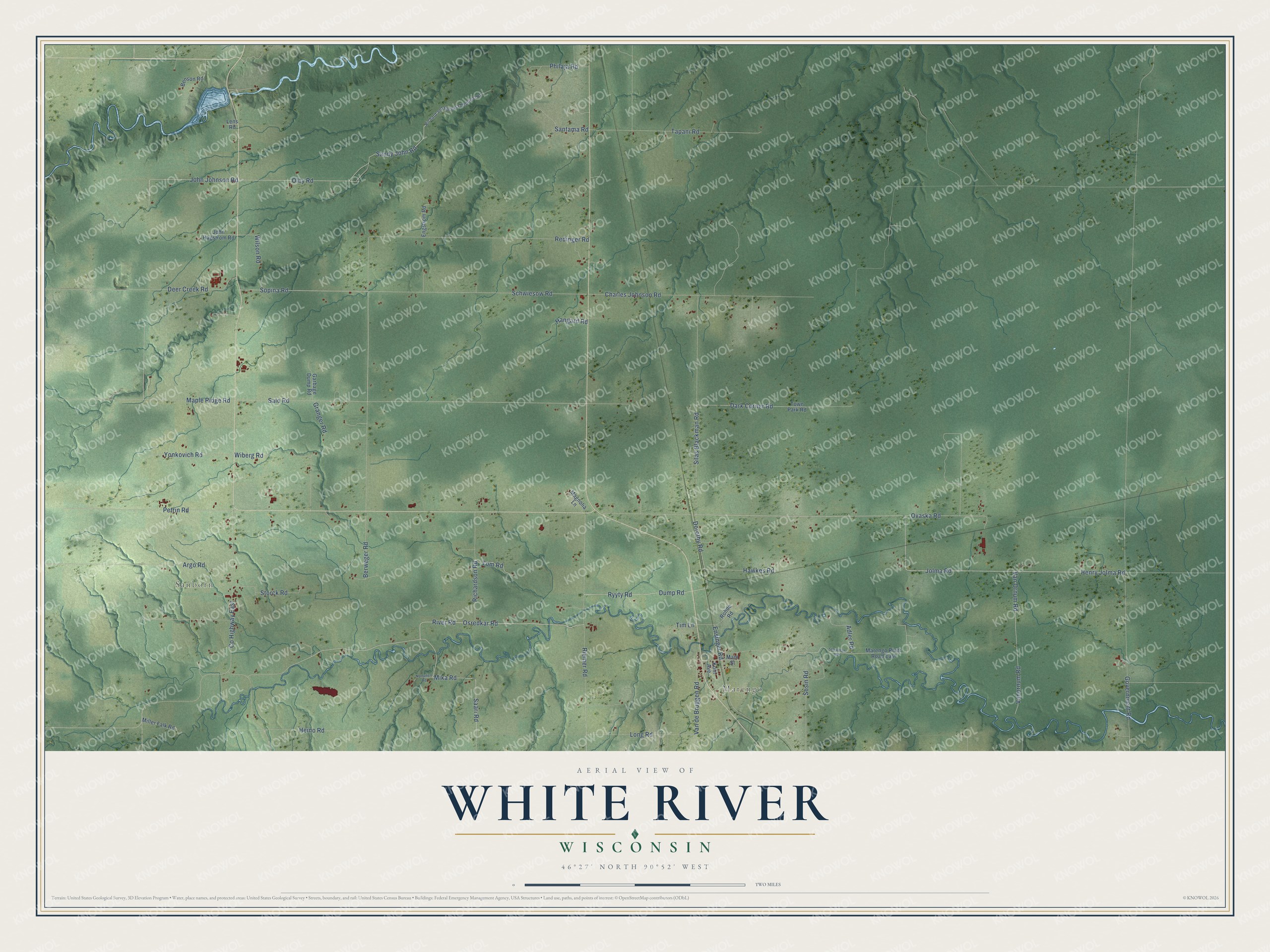
This beautifully detailed map of White River, Wisconsin was created in 2026 using aerial imagery combined with modern topographical, census, street and landmark data. It's a modern aerial view of White River in Ashland County, Wisconsin, that combines modern data with a vintage aesthetic. The roads feature printed names, and if you look closely you can find your exact house accurately shown in its correct location.
Explore an aerial view of White River, Wisconsin
On this map you'll find Marengo, Sanborn, Jolma Road, River Road, Osredkar Road, Olby Road, Henry Jolma Road, Sandy John Road, Dorothy Road, John Johnson Road, Saari Road, Ovaska Road, and more. Each red shape is a building, so zoom in on the preview and look for yours.
White River is a town in Ashland County. The Census Bureau counted 1,067 people here in 2020. The map prints the town name in its title panel, with the coordinates below it.
Take a closer look at the White River map
Names on this map
These names are printed on this map.
Places: Marengo and Sanborn.
Streets and roads: Jolma Road, River Road, Osredkar Road, Olby Road, Henry Jolma Road, Sandy John Road, Dorothy Road, John Johnson Road, Saari Road, Ovaska Road, Maple Ridge Road, Ryyty Road.
More street names, A to Z
Adler Road, Argo Road, Benson Road, Berweger Road, Charles Johnson Road, County Highway East, Dark Corner Road, Deer Creek Road, Dump Road, Engstrom Road, Ensinger Road, Garbage Dump Road, Government Road, Granger Road, Hangard Road, Hawkes Road, Heino Road, John Hagstrom Road, Koin Avenue, Lens Road, Long Road, Magnolia Lane, Main Street, Marengo River Road East, Mika Road, Miller Falk Road, Nortunen Road, Petrin Road, Philaja Road, Redinger Road, Richard and Barbara Hedquist Road, Richardson Road, Riemer Road, Rohde Road, Salo Road, Santama Road, Schwiesow Road, Silas Blackman Road, Sopina Road, Sosin Road, Starkman Road, Storck Road, Tapani Road, Tim Lane, Tom Road, Town Park Road, Van de Bruggen Road, Van Ornum Road, Vanornum Road, Wiberg Road, Wilson Road, Yonkovich Road.
Created by KNOWOL in 2026. The buildings are small red shapes, the roads carry their printed names, and shaded relief shows the shape of the land. The title panel reads "AERIAL VIEW OF WHITE RIVER, WISCONSIN" with 46°27' NORTH 90°52' WEST.
It suits a den, a classroom or a front hall, and it makes a gift for anyone with White River roots. Open the preview and find the block you know. See sizes and frames for the White River map.