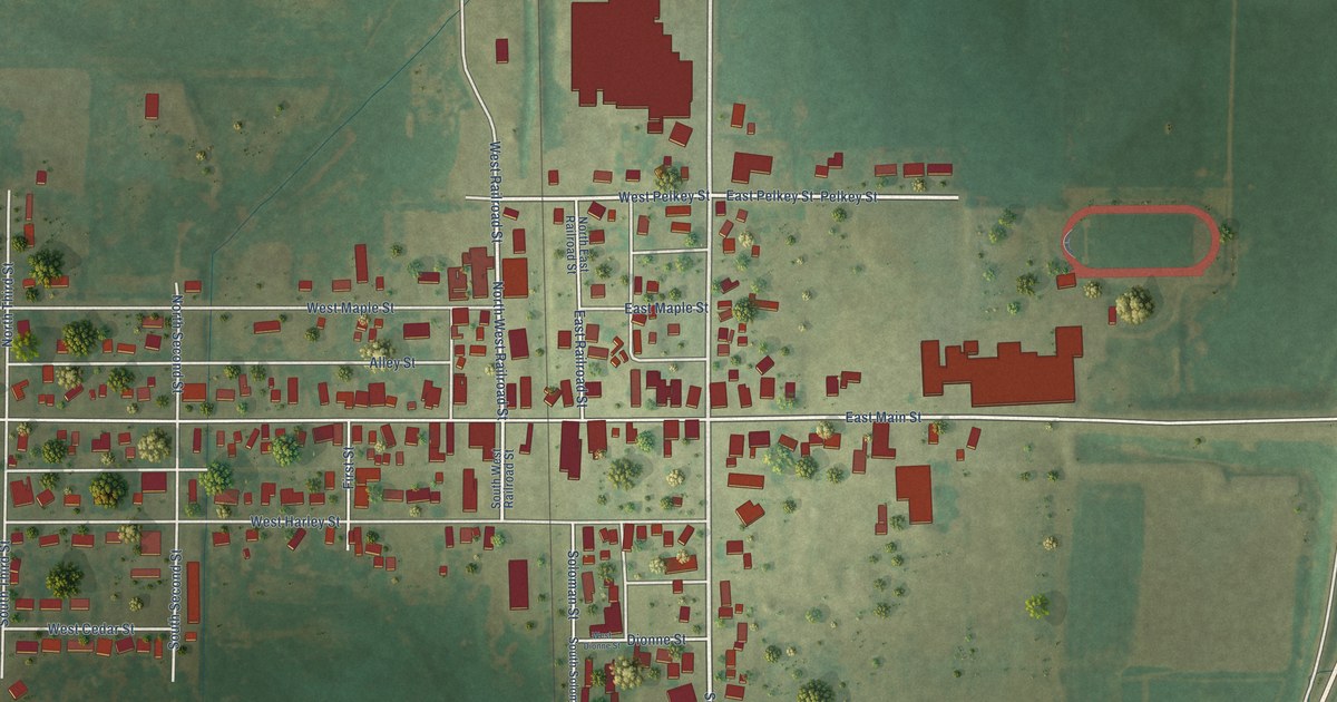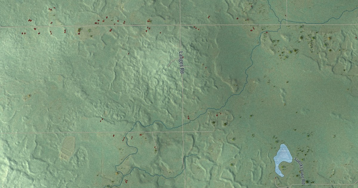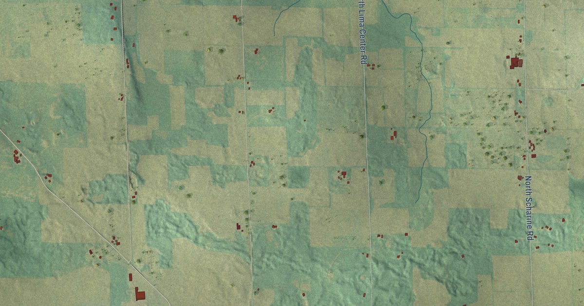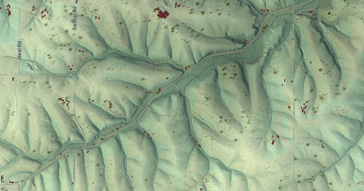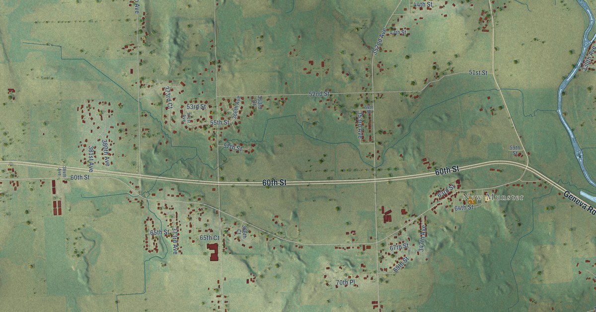
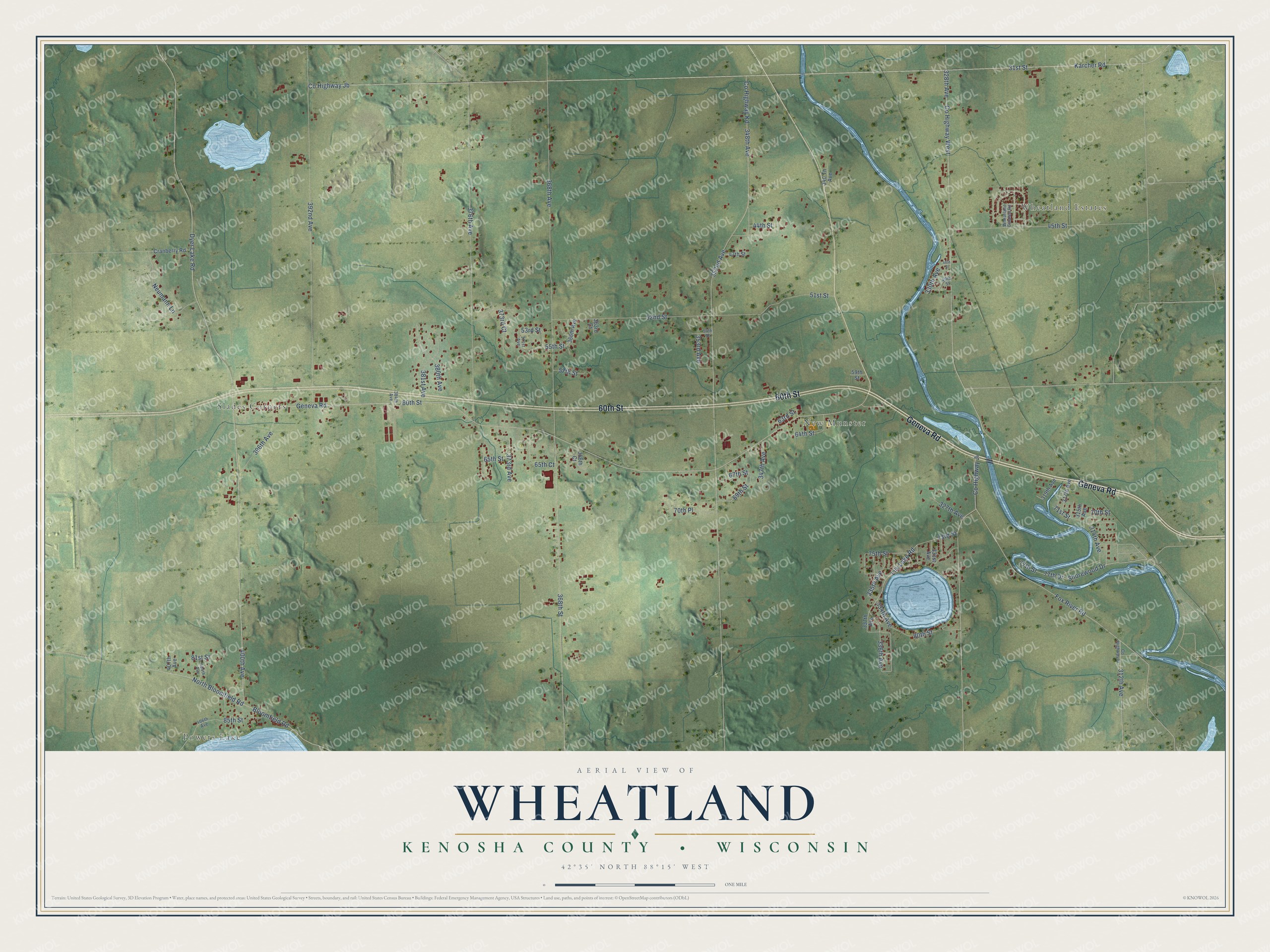
This beautifully detailed map of Wheatland, Wisconsin was created in 2026 using aerial imagery combined with modern topographical, census, street and landmark data. It's a modern aerial view of Wheatland in Kenosha County, Wisconsin, that combines modern data with a vintage aesthetic. The roads feature printed names, and if you look closely you can find your exact house accurately shown in its correct location.
Explore an aerial view of Wheatland, Wisconsin
On this map you'll find Powers Lake, Wheatland Estates, Slades Corners, New Munster, Geneva Road, 60th Street, 400th Avenue, North Bloomfield Road, Lily Lake Road, Dyer Lake Road, 31st Street, Co Highway Jb, and more. Each red shape is a building, so zoom in on the preview and look for yours.
Every town has a first chapter, and Wheatland is no exception. The History of Racine and Kenosha Counties puts it this way: "The Wheatland Catholic Church congregation consists of one hundred families, or about 500 devoted members."
Wheatland is a town in Kenosha County. The Census Bureau counted 3,391 people here in 2020.
Take a closer look at the Wheatland map
Names on this map
These names are printed on this map.
Places: Powers Lake, Wheatland Estates, Slades Corners and New Munster.
Streets and roads: Geneva Road, 60th Street, 400th Avenue, North Bloomfield Road, Lily Lake Road, Dyer Lake Road, 31st Street, County Highway Jb, Karcher Road, County Highway West, 328th Avenue, 336th Avenue.
More street names, A to Z
44th Street, 45th Street, 47th Street, 48th Street, 49th Street, 51st Street, 52nd Street, 53rd Street, 54th Street, 55th Street, 57th Street, 59th Street, 63rd Street, 64th Street, 65th Court, 65th Street, 67th Street, 69th Street, 70th Place, 70th Street, 71st Street, 73rd Street, 75th Street, 77th Drive, 77th Street, 80th Street, 81st Street, 85th Street, 312th Avenue, 314th Avenue, 315th Avenue, 317th Avenue, 319th Avenue, 327th Avenue, 330th Avenue, 331st Avenue, 334th Avenue, 335th Avenue, 337th Avenue, 340 Th Avenue, 347th Avenue, 348th Avenue, 352nd Avenue, 353rd Avenue, 363rd Court, 366th Avenue, 366th Court, 368th Avenue, 368th Street, 371st Avenue, 373rd Avenue, 373rd Court, 376th Avenue, 380th Avenue, 381st Avenue, 384th Avenue, 392nd Avenue, 396th Avenue, 404th Avenue, 406th Avenue, 407th Avenue, Bloomfield Road, County Highway Fr, County Highway Ji, County Highway Kd, Cranberry Road, Fox River Road, Neumann Lane, Shorewood Drive, Wheatland Estates Road.
Created by KNOWOL in 2026. The buildings are small red shapes, the roads carry their printed names, and shaded relief shows the shape of the land. The title panel reads "AERIAL VIEW OF WHEATLAND, KENOSHA COUNTY • WISCONSIN" with 42°35' NORTH 88°15' WEST.
Hang it in the hallway, the office or the cabin, or give it to someone who left Wheatland and still calls it home. Open the preview and look for a street you know. See sizes and frames for the Wheatland, Kenosha County map.