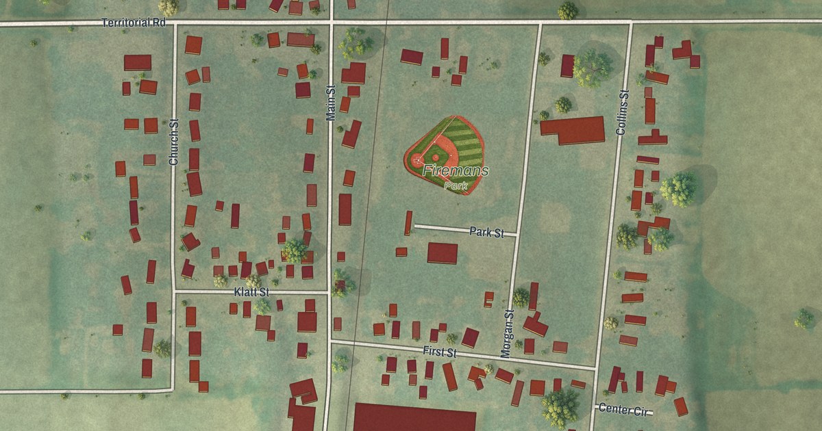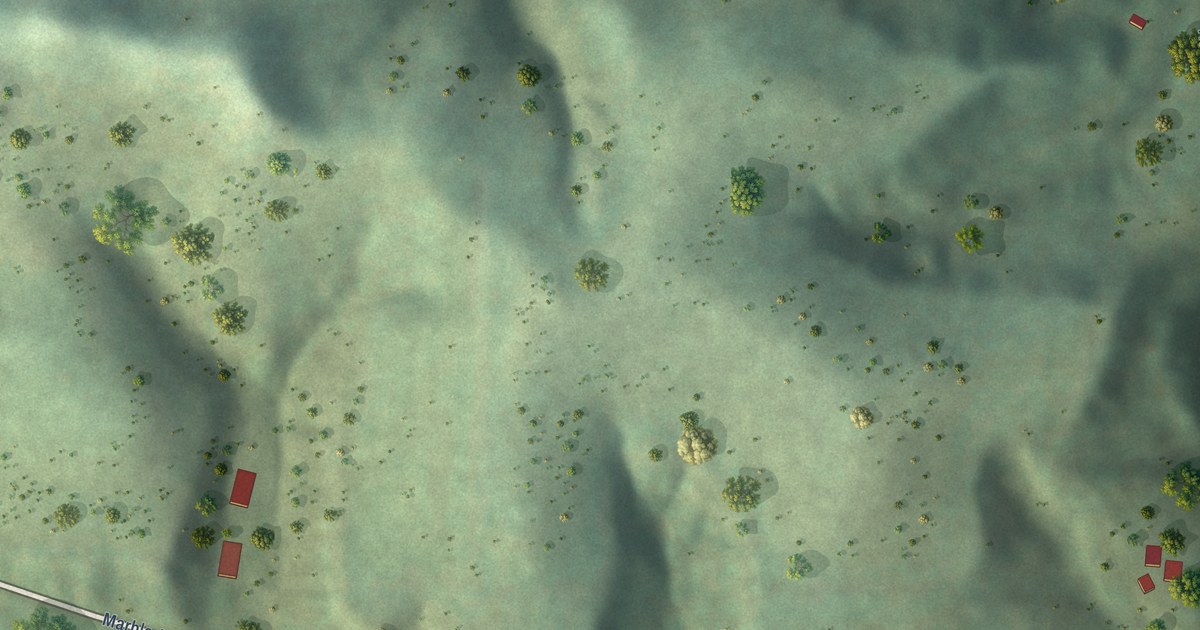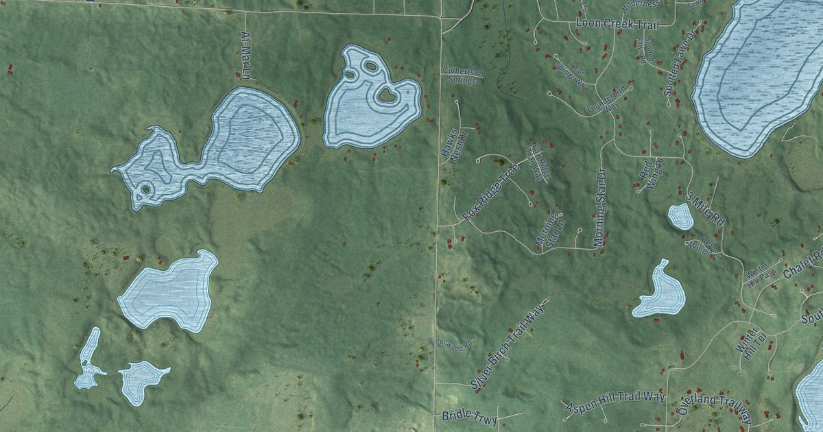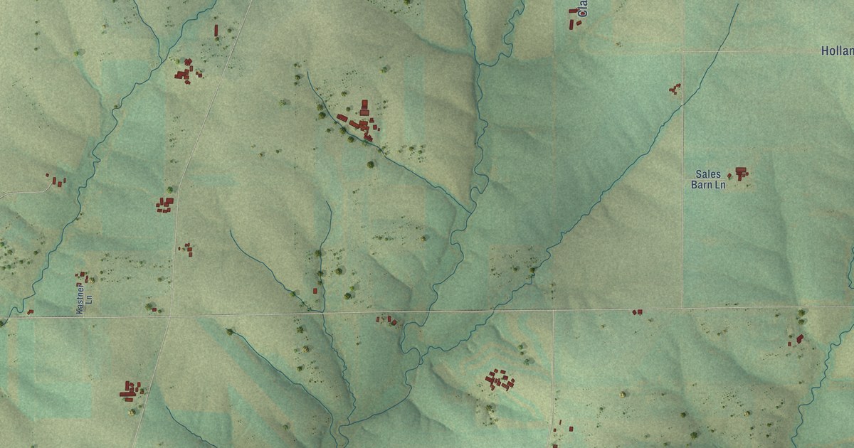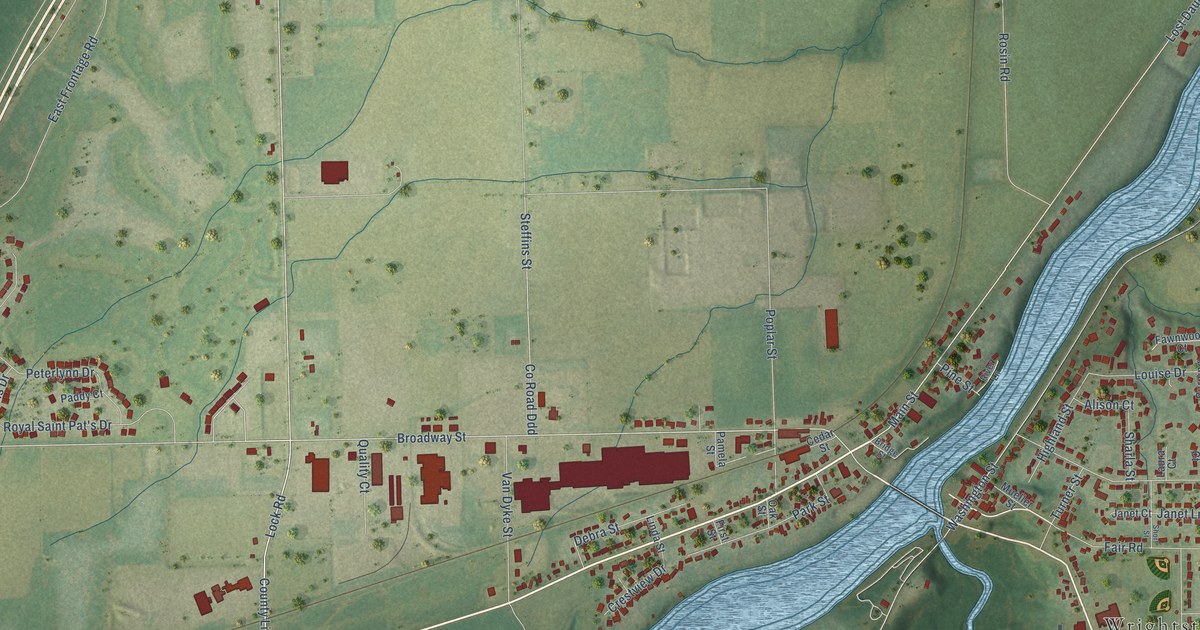
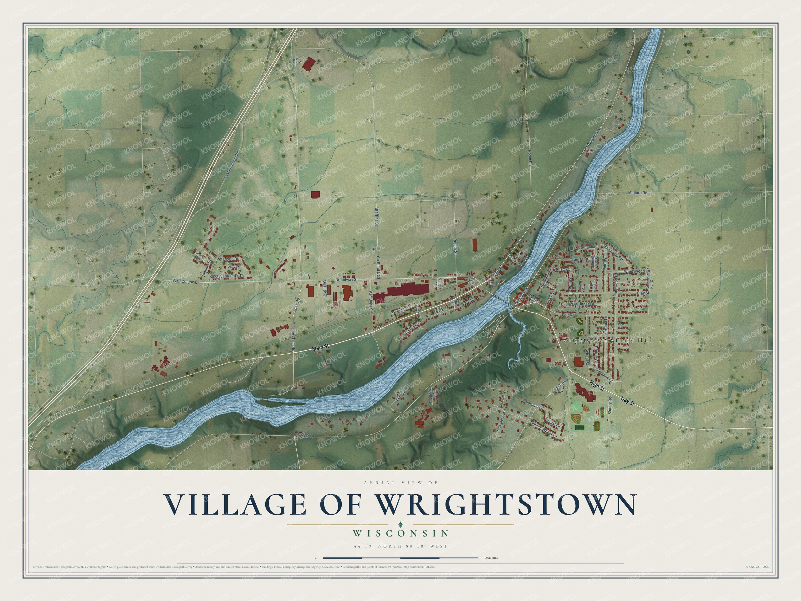
This beautifully detailed map of Wrightstown, Wisconsin was created in 2026 using aerial imagery combined with modern topographical, census, street and landmark data. It's a modern aerial view of Wrightstown in Brown County, Wisconsin, that combines modern data with a vintage aesthetic. The roads feature printed names, and if you look closely you can find your exact house accurately shown in its correct location.
Explore an aerial view of Wrightstown, Wisconsin
On this map you'll find Wrightstown Village Hall, Main Street, Day Street, High Street, Lock Road, County Line Road, Golf Course Drive, Broadway Street, Windywood Lane, Steffins Street, Co Road Zz, Washington Street, and more. Each red shape is a building, so zoom in on the preview and look for yours.
Wrightstown has a story worth telling. The History of Brown County puts it this way: "Although the waterpower at Wrightstown is not as heavy as at other points along Fox river, yet it has always, since the first steam mill was built by F. N. Wright & Company in 1855, been a manufacturing town."
Wrightstown is a village in Brown County. The Census Bureau counted 3,179 people here in 2020.
Take a closer look at the Wrightstown map
Names on this map
These names are printed on this map.
Places: Wrightstown Village Hall.
Streets and roads: Main Street, Day Street, High Street, Lock Road, County Line Road, Golf Course Drive, Broadway Street, Windywood Lane, Steffins Street, County Road Zz, Washington Street, Lost Dauphin Road.
More street names, A to Z
Alison Court, Bengal Lane, Bridge Street, Burning Tree Court, Cedar Street, Clay Street, Corn Silk Court, Country Run Drive, County Road Ddd, Crestview Drive, Debra Street, East Frontage Road, Fair Road, Fawnwood Court, Fawnwood Drive, Fieldcrest Avenue, First Street, Fox Shores Drive, French Road, Golden Wheat Lane, Gordon Way, Highland Street, Janet Court, Janet Lane, Justina Court, Laura Court, Linda Street, Longwood Lane, Louise Drive, Mallard Road, Meadow Lane, Mueller Street, Norman Lane, Oak Street, Paddy Court, Pamela Street, Park Street, Patricia, Patricia Lane, Peterlynn Drive, Pine Street, Plum Creek Trail, Plum Road, Poplar Street, Prairie Way, Quality Court, Red Clover Lane, River Lane, Rosin Road, Royal Saint Pat's Drive, School Street, Shanty Road, Sharla Street, Short Street, Sue Lane, Theunis Drive, Turner Street, Van Dyke Street.
Created by KNOWOL in 2026. The buildings are small red shapes, the roads carry their printed names, and shaded relief shows the shape of the land. The title panel reads "AERIAL VIEW OF VILLAGE OF WRIGHTSTOWN, WISCONSIN" with 44°19' NORTH 88°10' WEST.
It looks right in a kitchen, an office or a den, and it's a gift for anyone who grew up in Wrightstown or moved away. Open the preview and find your street. See sizes and frames for the Wrightstown map.