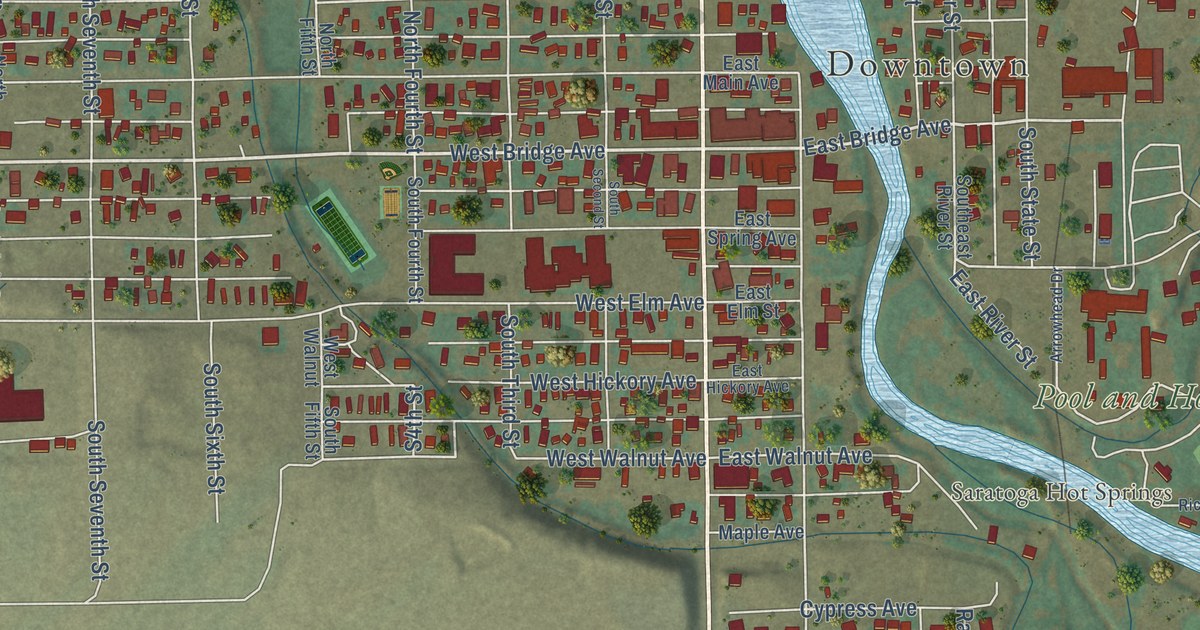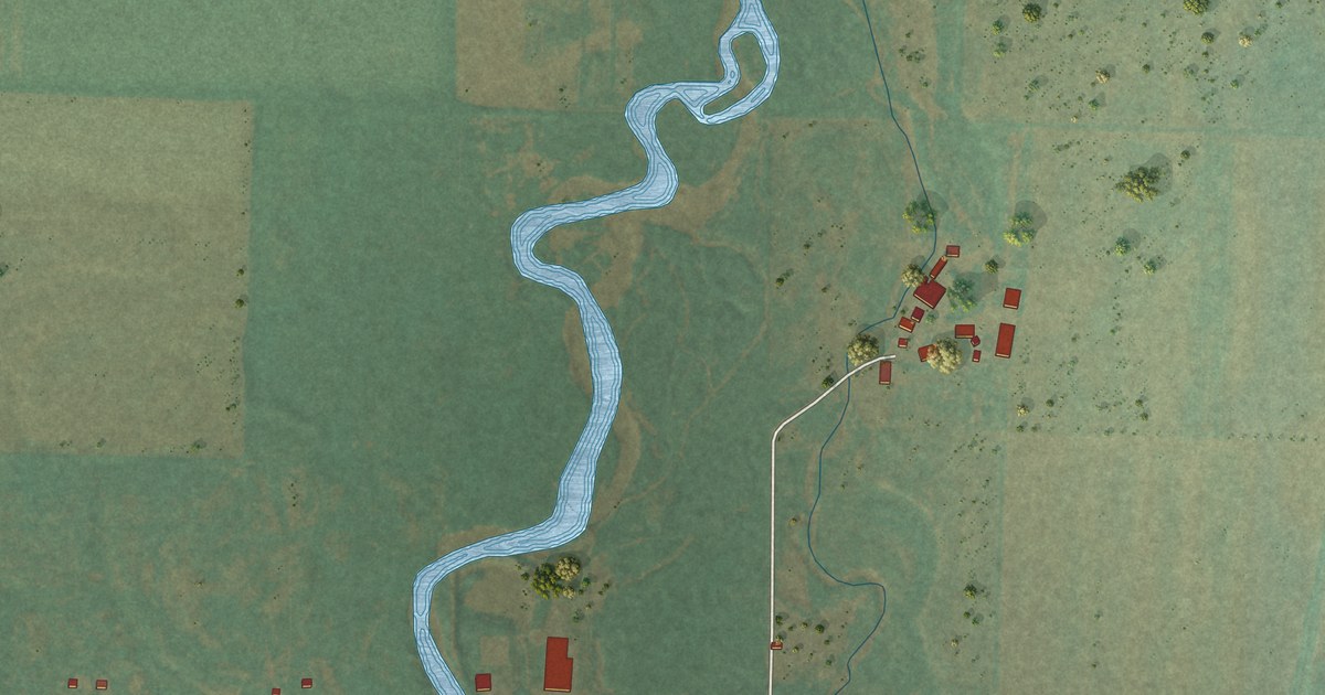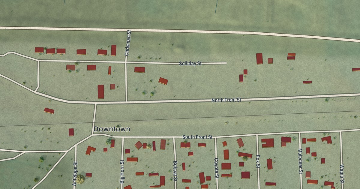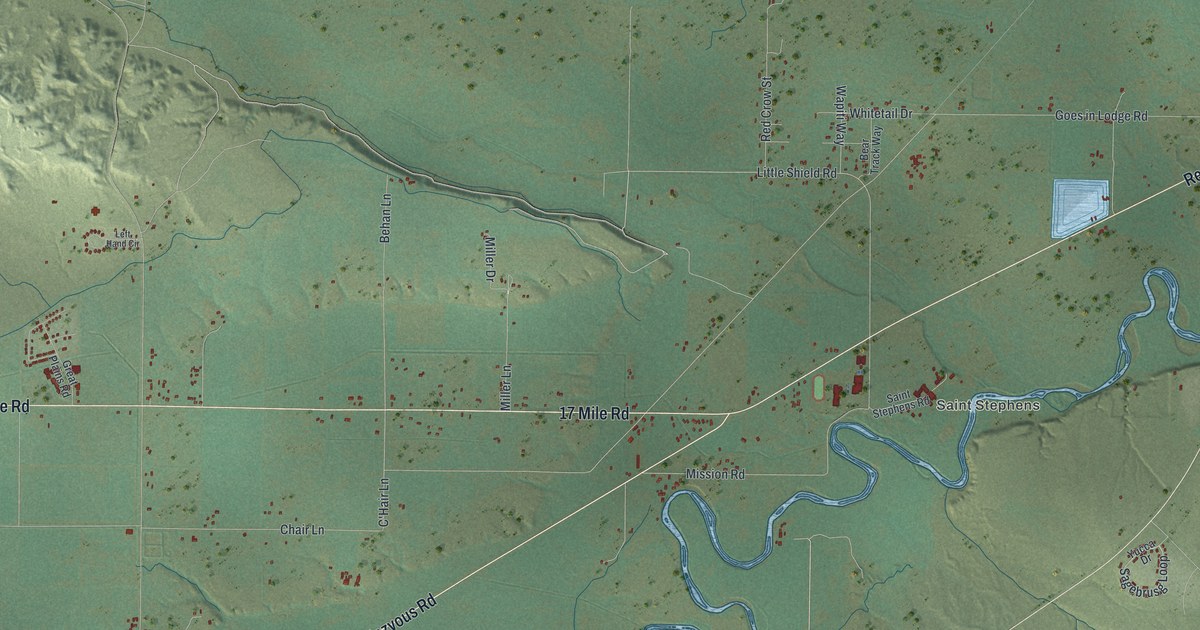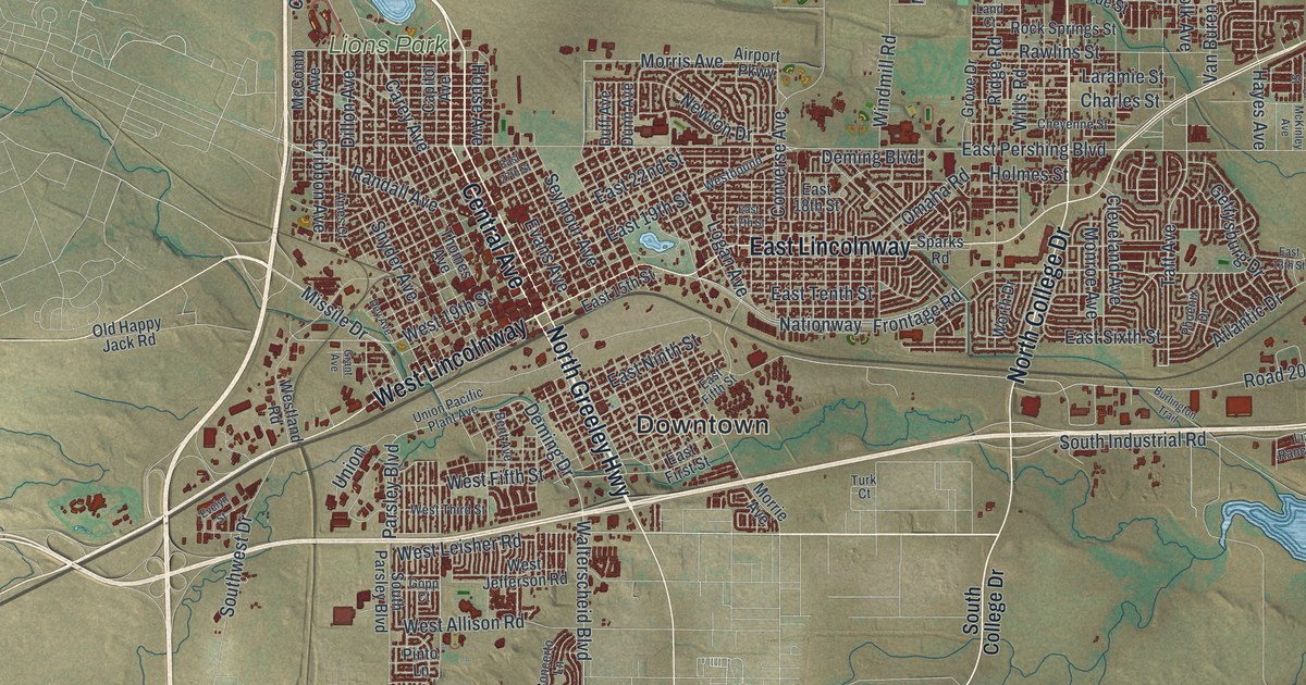
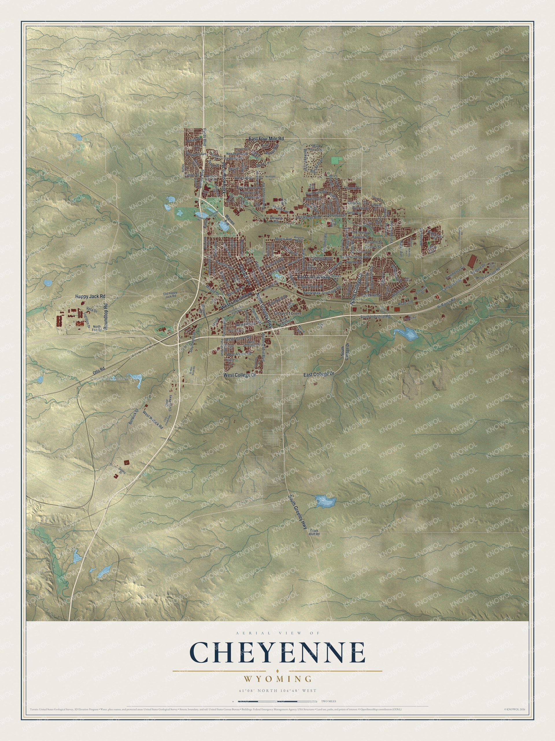
This beautifully detailed map of Cheyenne, Wyoming was created in 2026 using aerial imagery combined with modern topographical, census, street and landmark data. It’s a one-of-a-kind view of Cheyenne that combines accurate data with a vintage aesthetic. The map shows every building in its true location, many of the roads carry their names, and the shaded topographic relief shows the shape of the land.
Explore an aerial view of Cheyenne, Wyoming
On the map you’ll find Downtown, Augur Hill, Base Line Ridge, Dodge Hill, Gilbert Hill, Clear Creek Reservoir, and Lions Park, along with Central Avenue, North Greeley Highway, Yellowstone Road, West College Drive, East College Drive, and more. If you look closely you can even find your house accurately drawn in its correct location. Zoom in on the preview to look for yours.
Did you know this piece of Cheyenne, Wyoming history?
From the Wyoming State Historical Society: "In 1897, the Wyoming Legislature passed a new state law providing for county libraries funded by local tax revenues, and the nation’s first county library was established in Cheyenne."
Take a closer look at the Cheyenne map
Street and place names on the Cheyenne, Wyoming map
These names are printed on the map of Cheyenne, Wyoming.
Places: Downtown, Augur Hill, Base Line Ridge, Dodge Hill, Gilbert Hill, Clear Creek Reservoir and Lions Park.
Streets and roads: Central Avenue, North Greeley Highway, Yellowstone Road, West College Drive, East College Drive, South Greeley Highway, North College Drive, East Four Mile Road, East Lincolnway, West Lincolnway, Happy Jack Road, Roundtop Road.
More street names, A to Z
Airport Parkway, Alyssa Way, Ames Court, Apache Street, Archer Frontage Road, Atlantic Drive, Bent Avenue, Berwick Drive, Big Sky Trail, Bishop Boulevard, Blue Blf, Brittany Drive, Broken Arrow Road, Buckskin Trail, Buffalo Avenue, Burlington Trail, Cable Avenue, Campstool Road, Canyon Road, Capitol Avenue, Carey Avenue, Carla Drive, Cattle, Chalk Bluff Road, Charles Street, Cheyenne Street, Christensen Road, Clear Creek Parkway, Clear Creek Pwky, Cleveland Avenue, Commerce Circle, Concerto Lane, Connie Drive, Converse Avenue, Cribbon Avenue, Custer Street, Dalcour Drive, Dell Range Boulevard, Deming Boulevard, Deming Drive, Dey Avenue, Dillon Avenue, Duff Avenue, Dunn Avenue, East 13th Street, East 15th Street, East 17th Street, East 18th Street, East 19th Street, East 22nd Street, East 27th Street, East Carlson Street, East Fifth Street, East First Street, East Ninth Street, East Pershing Boulevard, East Sixth Street, East Tenth Street, Echostar Drive, Education Drive, Evans Avenue, Evelyn Street, Evers Avenue, Everton Drive, Fire Side Drive, Frontage Road, Gardenia Drive, Gettysburg Drive, Gopp Court, Grant Avenue, Gregg Way, Grove Drive, Hayes Avenue, Hickory Place, Holmes Street, House Avenue, Hoy Road, Hr Ranch Road, Hynds Boulevard, Kennedy Road, King Arthur Way, Lafayette Boulevard, Land Court, Laramie Street, Legacy Parkway, Liz Ranch Road, Logan Avenue, Logistics Drive, McAllister Lane, McComb Avenue, McKinley Avenue, Melton Street, Miracle Parkway, Missile Drive, Monroe Avenue, Moran Avenue, Morrie Avenue, Morris Avenue, Nationway, New Bedford Drive, Newton Drive, North Fort Road, Old Happy Jack Road, Omaha Road, Ontario Avenue, Otto Road, Panorama Court, Parsley Boulevard, Phoenix Drive, Pineridge Avenue, Pinto Lane, Plain View Road, Point Bluff, Polk Avenue, Powderhouse Road, Prairie Avenue, Randall Avenue, Rawlins Street, Ridge Road, Rio Verde Street, Road 209, Rock Springs Street, Rodeo Avenue, Rue Terre, Sagebrush Avenue, Saratoga Street, Seminoe Road, Seymour Avenue, Sheridan Street, Shoshoni Street, Sioux Drive, Snyder Avenue, South College Drive, South Industrial Road, South Parsley Boulevard, Southwest Drive, Sparks Road, Spirit Lane, Stillwater Avenue, Stinner Road, Storey Boulevard, Sullivan Street, Sunset Drive, Sycamore Road, Taft Avenue, Thomas Road, Thomes Avenue, Trent Court, Trucker Trail, Tundra Drive, Turk Court, Union, Union Pacific Plant Avenue, Van Buren Avenue, Vandehei Avenue, Vandehei Street, Venture Drive, Veta Drive, Vista Lane, Walterscheid Boulevard, Warren Avenue, Weaver Road, West 19th Street, West Allison Road, Westbound, Western Hills Boulevard, West Fifth Street, West Jefferson Road, Westland Road, West Leisher Road, West Third Street, West Wallick Road, Whitney Road, Wilderness Trail, Wills Road, Windmill Road, Wind River Trail, Worth Drive.
See the Cheyenne, Wyoming map on a wall
The Cheyenne map as an 18 x 24 inch print in a black frame.

This beautifully detailed map of Cheyenne makes an attractive addition to your office, library, or den, and it can even be used to teach children the geography and history of the area. It also makes a great gift for anyone with Cheyenne roots. When you’re done exploring, click here to get your copy of the Cheyenne map.