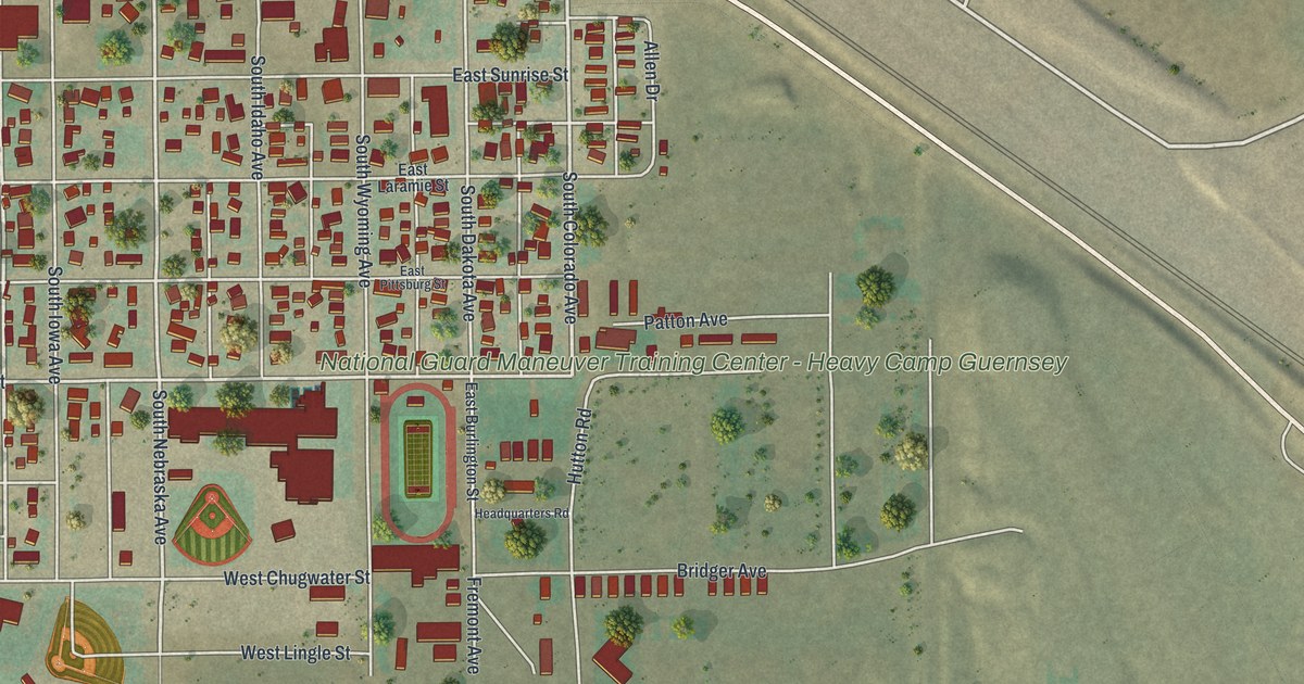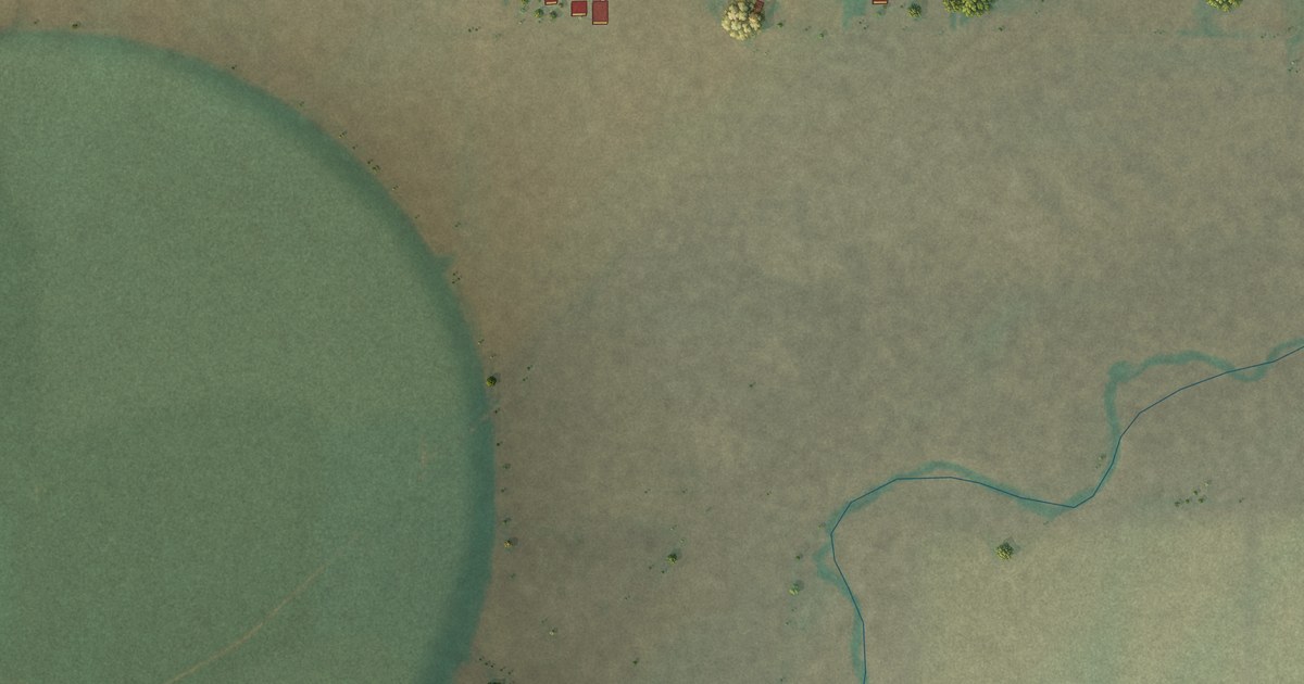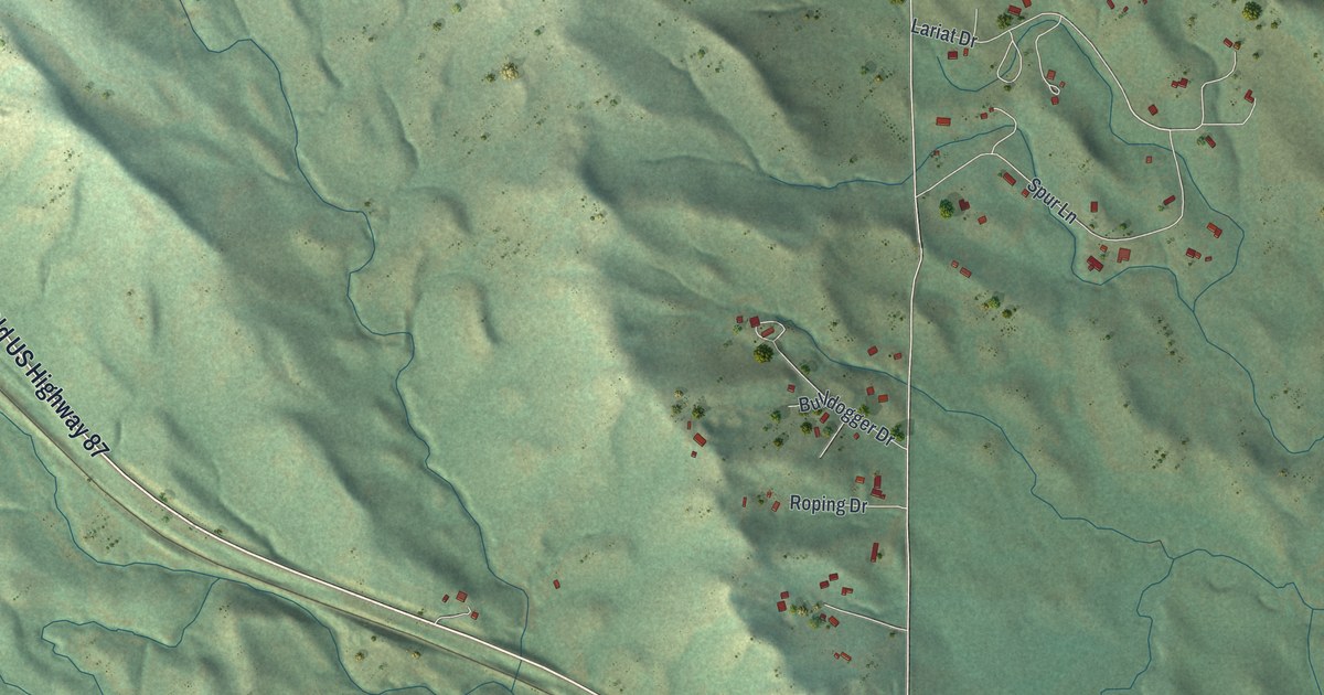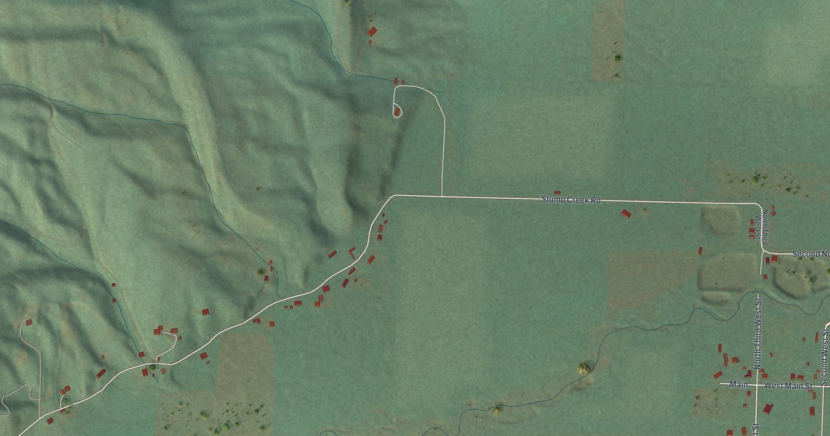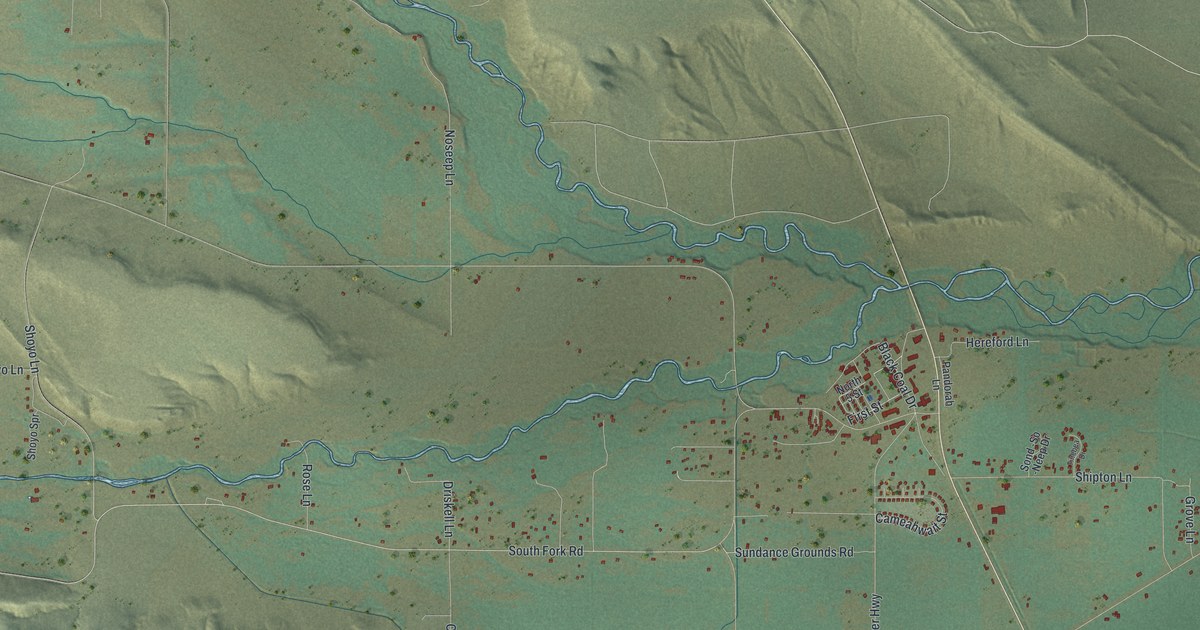
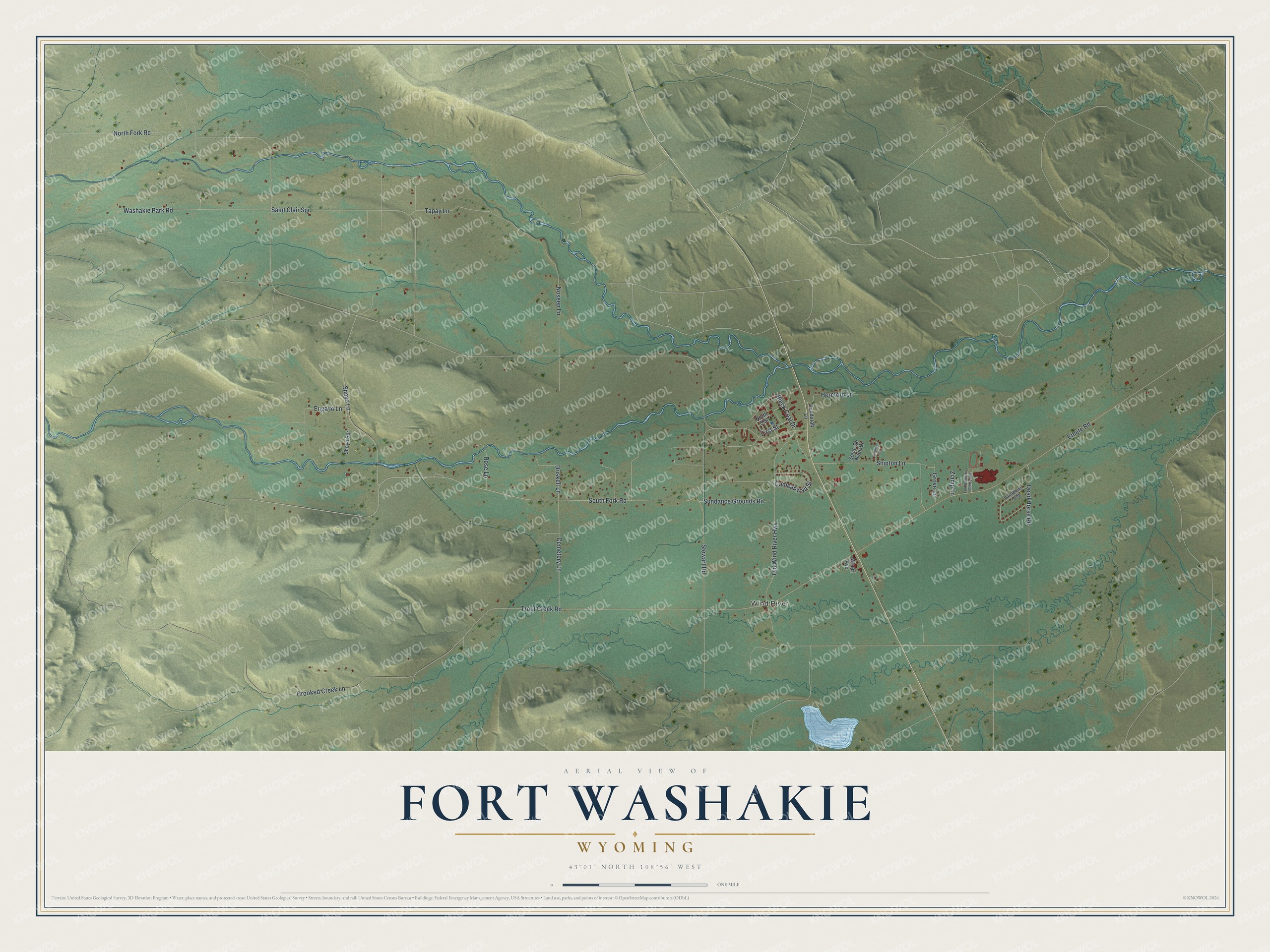
This beautifully detailed map of Fort Washakie, Wyoming was created in 2026 using aerial imagery combined with modern topographical, census, street and landmark data. It's a modern aerial view of Fort Washakie in Fremont County, Wyoming, that combines modern data with a vintage aesthetic. The roads feature printed names, and if you look closely you can find your exact house accurately shown in its correct location.
Explore an aerial view of Fort Washakie, Wyoming
On this map you'll find Wind River, South Fork Road, Shoyo Lane, Grove Lane, North Fork Road, Trout Creek Road, Ethete Road, Saint Clair Spr, Washakie Park Road, Crooked Creek Lane, Old Wind River Highway, Tapay Lane, and more. Each red shape is a building, so zoom in on the preview and look for yours.
Every town has a first chapter, and Fort Washakie is no exception. Fort Washakie began as Camp Brown, an Army post moved to the forks of the Little Wind River in 1871. On December 30, 1878, a government order renamed it to honor the highly respected Shoshone leader Chief Washakie. When he died in February 1900, the Army gave him full honors and a granite marker at his grave in the post cemetery. When the Army proposed closing the fort in 1899, Chief Washakie stepped in and kept it open. That's from the National Register of Historic Places.
Fort Washakie is a community in Fremont County. The Census Bureau counted 1,650 people here in 2020.
Take a closer look at the Fort Washakie map
Names on this map
These names are printed on this map.
Places: Wind River.
Streets and roads: South Fork Road, Shoyo Lane, Grove Lane, North Fork Road, Trout Creek Road, Ethete Road, Saint Clair Spr, Washakie Park Road, Crooked Creek Lane, Old Wind River Highway, Tapay Lane, Shipton Lane.
More street names, A to Z
Black Coal Drive, Cameahwait Street, Cemetery Lane, Dead Horse Road, Driskell Lane, Engavo Lane, First Street, Fort Washakie School Road, Hereford Lane, North 5 Street, Noseep Lane, Paintbrush Loop, Pandorah Lane, Rose Lane, Shoyo Spr, Sond -So -Neep Drive, Stewart Road, Sundance Grounds Road, Tinebea Drive, Wood Avenue, Ziamp Lane.
See it on a wall
The Fort Washakie map as a framed print. Swipe for more.


Created by KNOWOL in 2026. The buildings are small red shapes, the roads carry their printed names, and shaded relief shows the shape of the land. The title panel reads "AERIAL VIEW OF FORT WASHAKIE, WYOMING" with 43°01' NORTH 108°56' WEST.
Hang it in the hallway, the office or the cabin, or give it to someone who left Fort Washakie and still calls it home. Open the preview and look for a street you know. See sizes and frames for the Fort Washakie map.