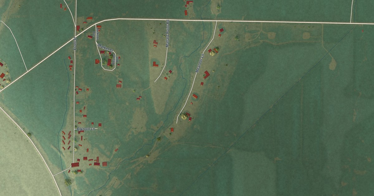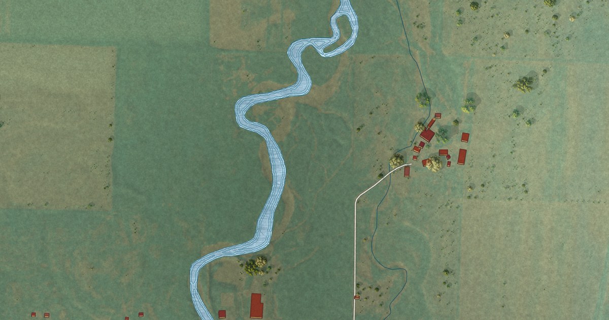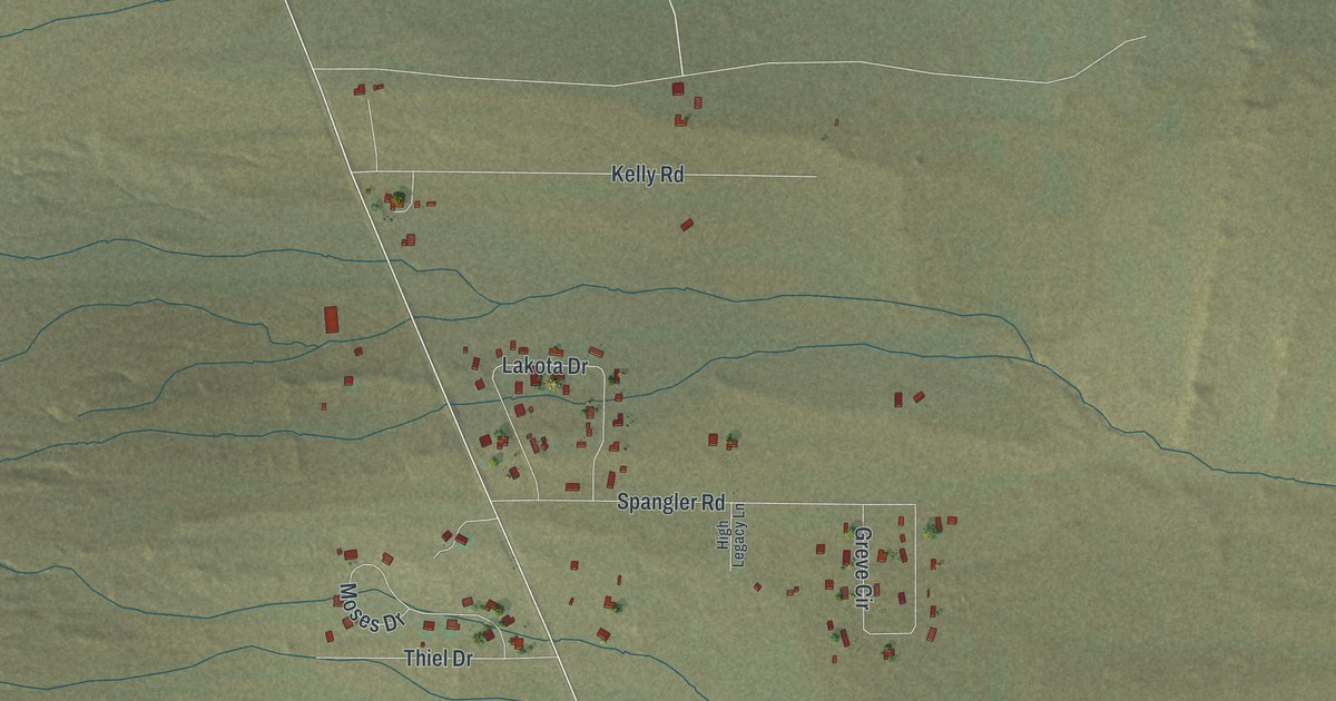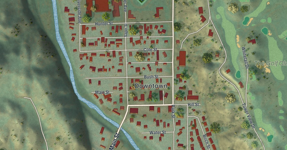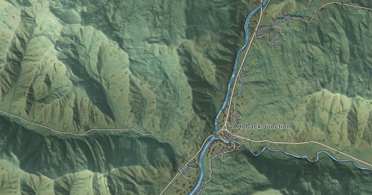
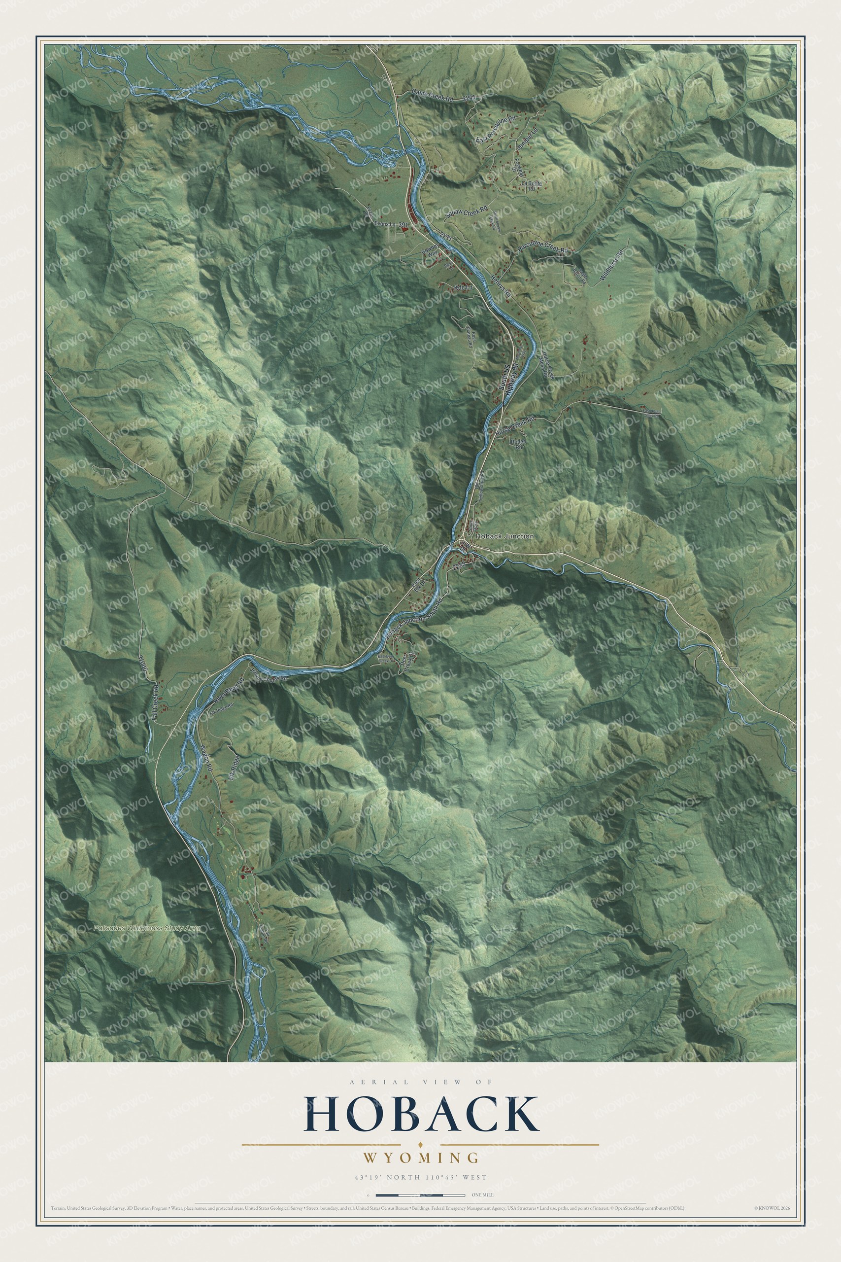
This beautifully detailed map of Hoback, Wyoming was created in 2026 using aerial imagery combined with modern topographical, census, street and landmark data. It's a modern aerial view of Hoback in Teton County, Wyoming, that combines modern data with a vintage aesthetic. The roads feature printed names, and if you look closely you can find your exact house accurately shown in its correct location.
Explore an aerial view of Hoback, Wyoming
On this map you'll find Hoback Junction, Palisades Wilderness Study Area, Hoback Junction South Road, Game Creek Road, Henrys Road, Fall Creek Road, Wagon Road, River Bend Road, Horse Creek Road, Wildhorse Road, Porcupine Creek Road, East Porcupine Road, and more. Each red shape is a building, so zoom in on the preview and look for yours.
Hoback has a story worth telling. Hoback Junction carries the name of John Hoback, a Kentucky mountain man who was one of three trappers guiding Wilson Price Hunt's expedition into Jackson Hole in September 1811. Hoback knew the river from his own trapping, so Hunt named it for him, and the party crossed the Snake into Jackson Hole where Hoback Junction is today. Back then the Snake River was known as the Mad River. That's from the Buckrail Jackson Hole news site.
Hoback is a community in Teton County. The Census Bureau counted 1,276 people here in 2020.
Take a closer look at the Hoback map
Names on this map
These names are printed on this map.
Places: Hoback Junction and Palisades Wilderness Study Area.
Streets and roads: Hoback Junction South Road, Game Creek Road, Henrys Road, Fall Creek Road, Wagon Road, River Bend Road, Horse Creek Road, Wildhorse Road, Porcupine Creek Road, East Porcupine Road, Elk Ridge, Juniper Lane.
More street names, A to Z
Cowboy Way, Deer Creek Drive, Eagle Ranch Road, East Deer Creek Drive, East Elk Drive, East Horse Creek Road, Elk Ridge Road, Evans Lane, Evans Road, Forweal Drive, Horse Creek Mesa Road, J-W Drive, Johnny Counts Road, Kdc Lane, La Bonte Road, Meander Way, Old Yellowstone Road, Rodeo Road, Ross Lane, Ross Plateau Road, South Dora, South US Highway 89, Tall Timber Road.
See it on a wall
The Hoback map as a framed print. Swipe for more.


Created by KNOWOL in 2026. The buildings are small red shapes, the roads carry their printed names, and shaded relief shows the shape of the land. The title panel reads "AERIAL VIEW OF HOBACK, WYOMING" with 43°19' NORTH 110°45' WEST.
It looks right in a kitchen, an office or a den, and it's a gift for anyone who grew up in Hoback or moved away. Open the preview and find your street. See sizes and frames for the Hoback map.