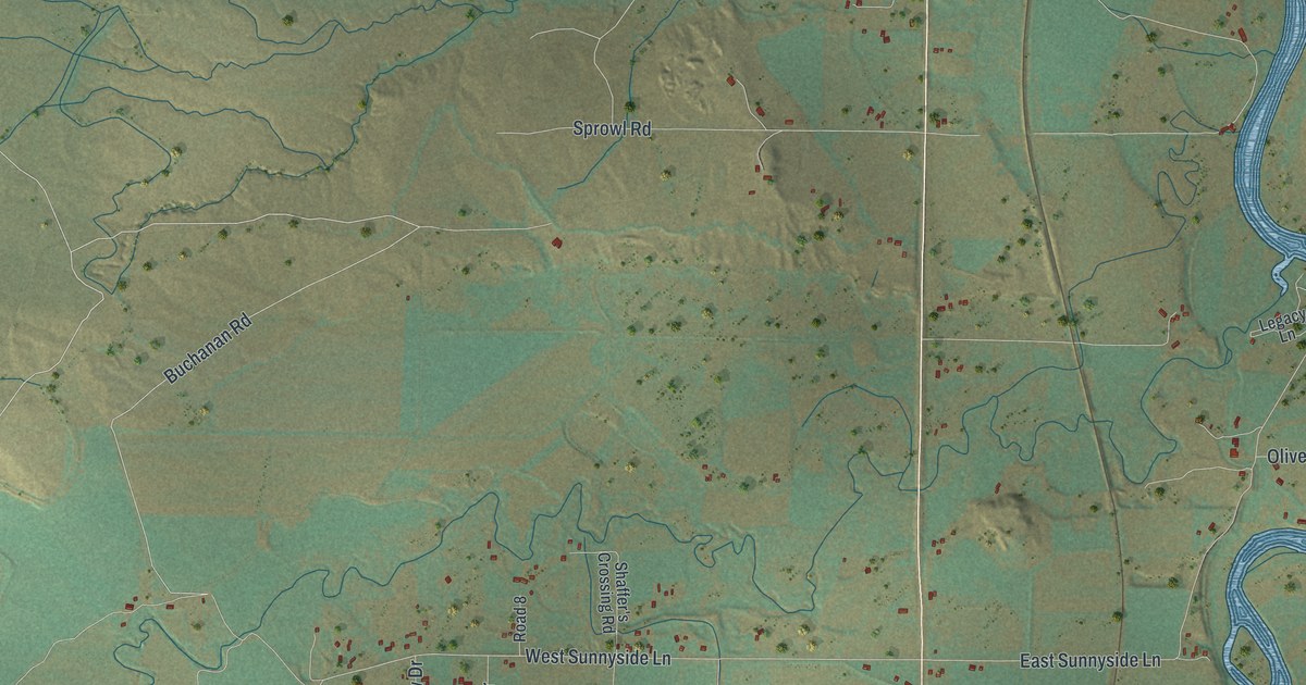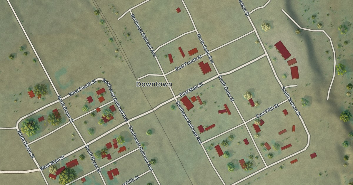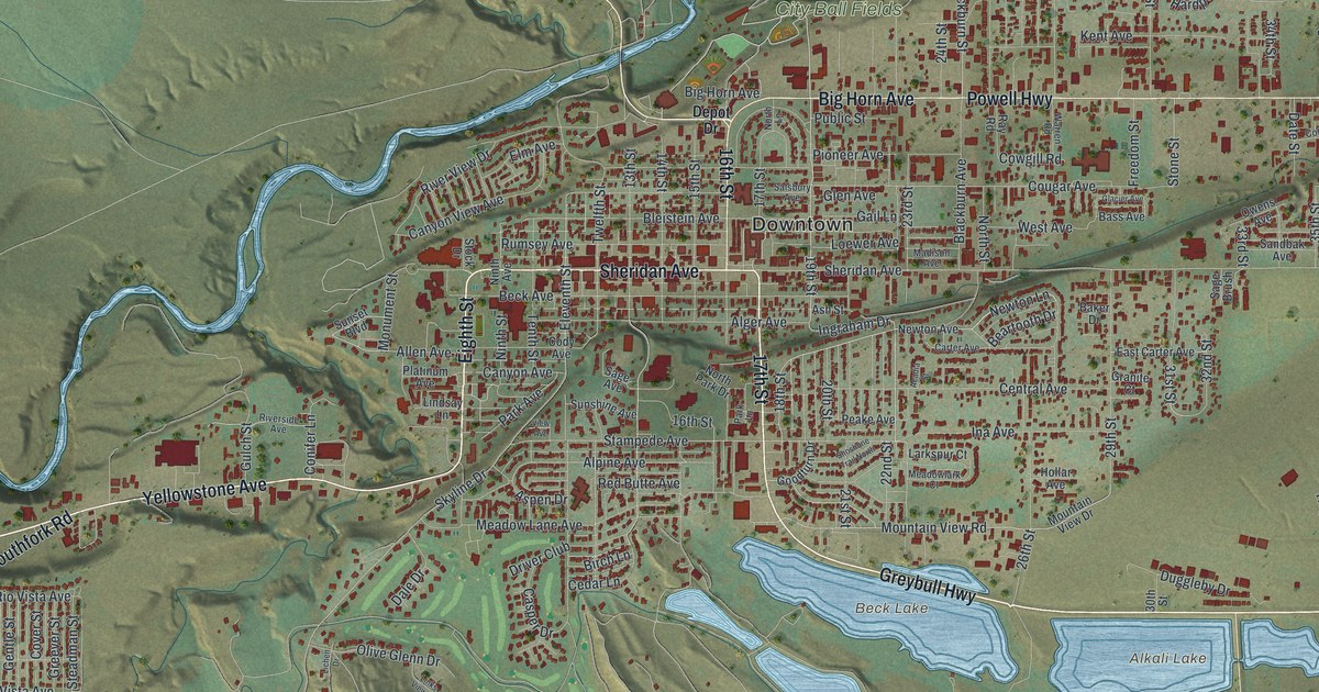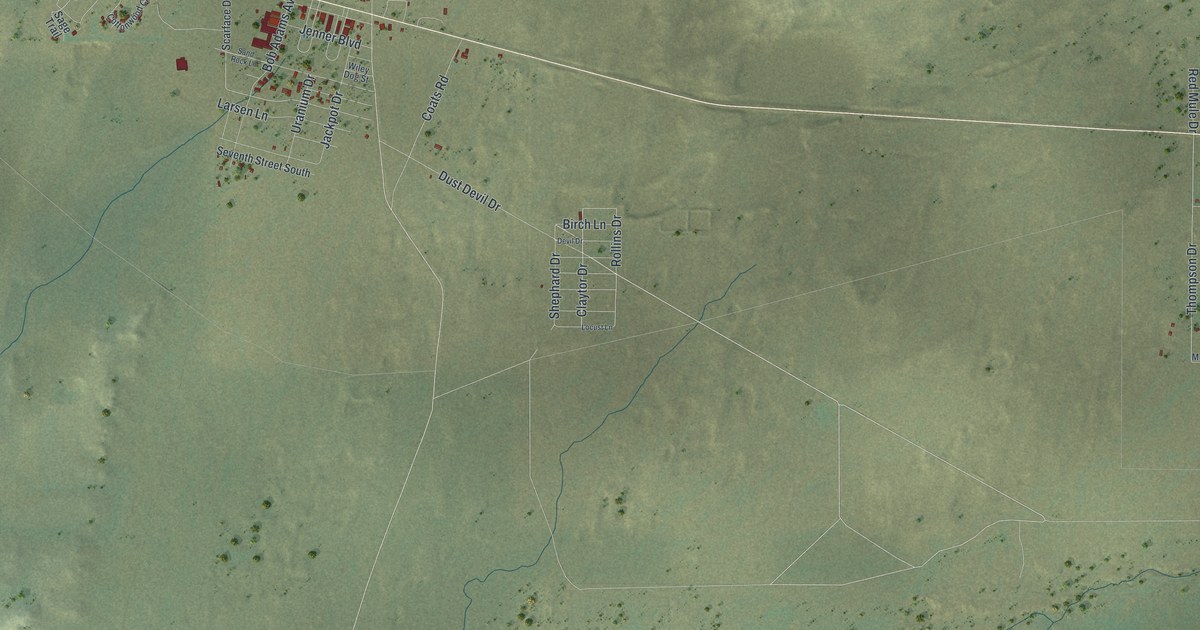
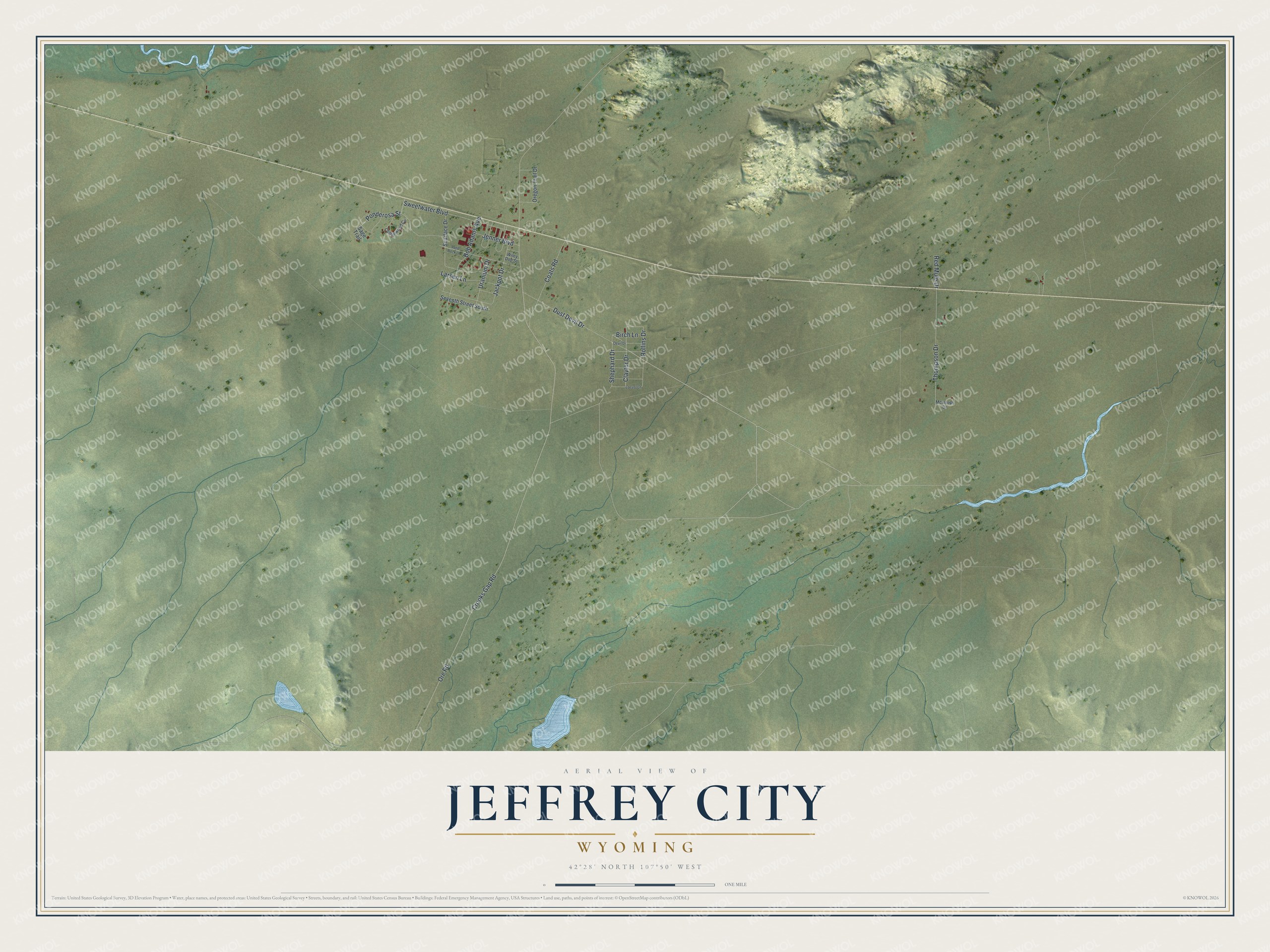
This beautifully detailed map of Jeffrey City, Wyoming was created in 2026 using aerial imagery combined with modern topographical, census, street and landmark data. It's a modern aerial view of Jeffrey City in Fremont County, Wyoming, that combines modern data with a vintage aesthetic. The roads feature printed names, and if you look closely you can find your exact house accurately shown in its correct location.
Explore an aerial view of Jeffrey City, Wyoming
On this map you'll find Dust Devil Drive, Claytor Drive, Ponderosa Street, Thompson Drive, Rollins Drive, Ore Road, Crooks Gap Road, Sweetwater Boulevard, Jackpot Drive, Coats Road, Bob Adams Avenue, Larsen Lane, and more. Each red shape is a building, so zoom in on the preview and look for yours.
Every town has a first chapter, and Jeffrey City is no exception. Jeffrey City began beside a post office and gas station called Home on the Range. After Rawlins restaurant owner Bob Adams found uranium in the Crooks Gap area in 1954, he bought land there and named the place for Dr. C. W. Jeffrey, the Rawlins physician who backed him with capital. By 1980 more than 4,000 people lived in Jeffrey City, and about 600 students attended its school. After uranium prices fell, the nearby Split Rock uranium mill went on standby in 1981, and by 1988 the town was mostly vacant. That's from the WyoHistory online encyclopedia.
Jeffrey City is a community in Fremont County. The Census Bureau counted 47 people here in 2020.
Take a closer look at the Jeffrey City map
Names on this map
These names are printed on this map.
Streets and roads: Dust Devil Drive, Claytor Drive, Ponderosa Street, Thompson Drive, Rollins Drive, Ore Road, Crooks Gap Road, Sweetwater Boulevard, Jackpot Drive, Coats Road, Bob Adams Avenue, Larsen Lane.
More street names, A to Z
Birch Lane, Cottonwood Circle, Devil Drive, Jenner Boulevard, Locust Lane, McIntosh Drive, Oregon Trail Drive, Red Mule Drive, Sage Trail, Sand Rock Lane, Scarface Drive, Seventh Street South, Shephard Drive, Uranium Drive, Wiley Dog Street.
See it on a wall
The Jeffrey City map as a framed print. Swipe for more.


Created by KNOWOL in 2026. The buildings are small red shapes, the roads carry their printed names, and shaded relief shows the shape of the land. The title panel reads "AERIAL VIEW OF JEFFREY CITY, WYOMING" with 42°28' NORTH 107°50' WEST.
Hang it in the hallway, the office or the cabin, or give it to someone who left Jeffrey City and still calls it home. Open the preview and look for a street you know. See sizes and frames for the Jeffrey City map.