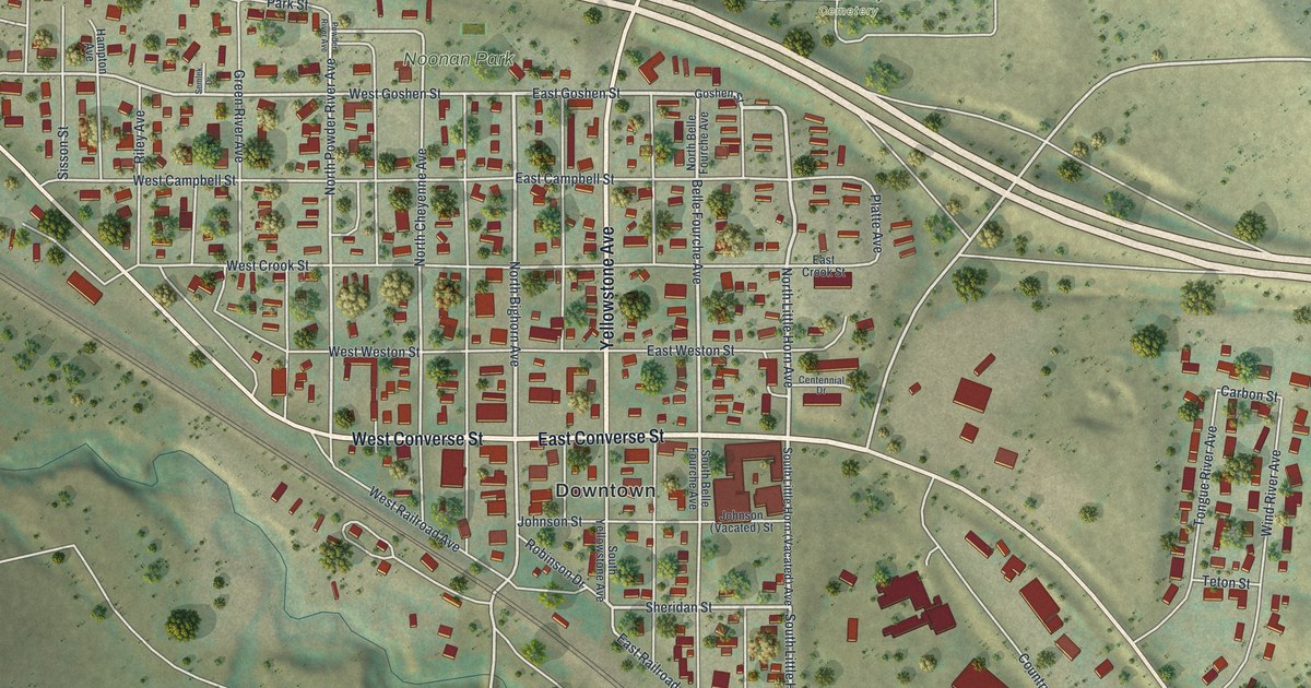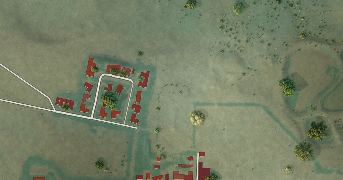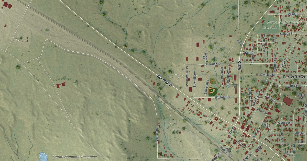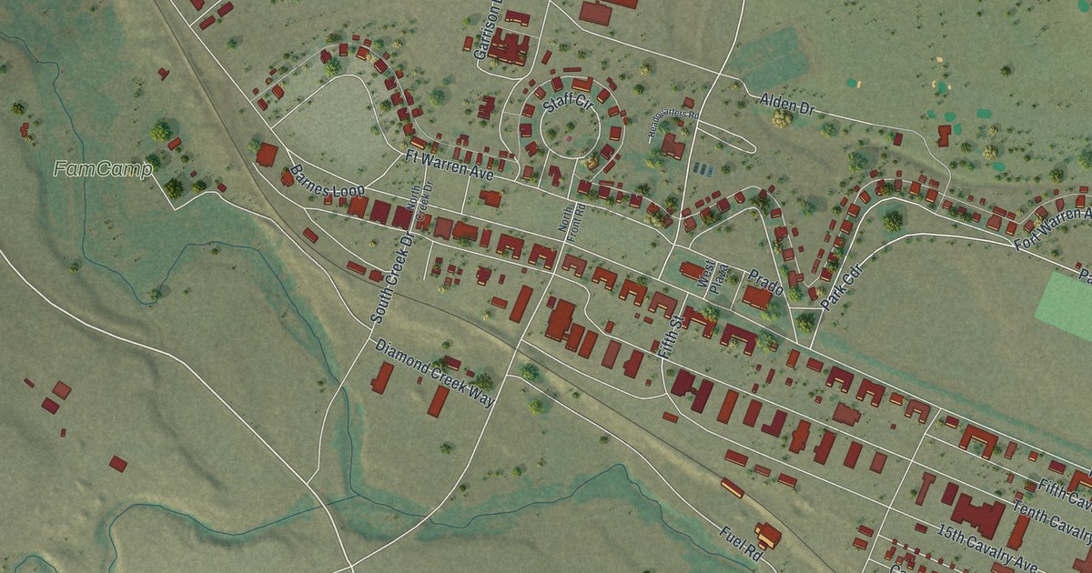
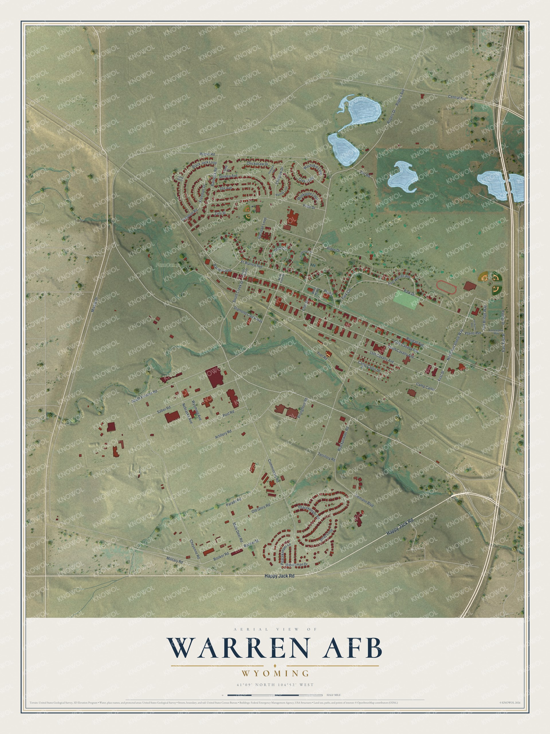
This beautifully detailed map of Warren AFB, Wyoming was created in 2026 using aerial imagery combined with modern topographical, census, street and landmark data. It's a modern aerial view of Warren AFB in Laramie County, Wyoming, that combines modern data with a vintage aesthetic. The roads feature printed names, and if you look closely you can find your exact house accurately shown in its correct location.
Explore an aerial view of Warren AFB, Wyoming
On this map you'll find FamCamp, Happy Jack Road, Missile Drive, Post Road, North Fort Steele Way, First Street, Fort Bridge Way, Plains Avenue, South Frontier Road, Blackpowder Road, Staff Circle, Park Cdr, and more. Each red shape is a building, so zoom in on the preview and look for yours.
Warren AFB is a community in Laramie County. The Census Bureau counted 2,863 people here in 2020. Warren AFB sits about 4 miles west of Cheyenne, 5 miles northwest of Fox Farm-College and 5 miles northwest of South Greeley. The map prints the town name in its title panel, with the coordinates below it.
Take a closer look at the Warren AFB map
Names on this map
These names are printed on this map.
Places: FamCamp.
Streets and roads: Happy Jack Road, Missile Drive, Post Road, North Fort Steele Way, First Street, Fort Bridge Way, Plains Avenue, South Frontier Road, Blackpowder Road, Staff Circle, Park Cdr, Randall Avenue.
More street names, A to Z
15th Cavalry Avenue, Alden Drive, Artillery Road, Atlas Loop, Bannock Road, Barnes Loop, Black Jack Loop, Booker Road, Booker Street, Camp Carlin, Camp Carlin Drive, Central Avenue, Cheyenne Road, Chickasaw Drive, Choctaw Drive, Commissary Road, Cree Loop, Diamond Creek Way, Dirt Road, East East Street, Fifth Cavalry Avenue, Fifth Street, Fort Laramie Way, Fort Russel Way, Fort Warren Avenue, Freedom Drive, Freedom Road, Ft Warren Avenue, Fuel Road, Garrison Loop, Headquarters Road, Kettle Hill Court, Kickapoo Loop, Military Road, Minuteman Drive, Mule Deer Road, Muskogee Loop, Nebraska Avenue, North Creek Drive, North Front Road, Old Glory Road, Parade Road, Park Drive, Patriot Drive, Peacekeeper Lane, Peacekeeper Road, Piute Drive, Prado, Pronghorn Road, Rogers Avenue, Rogers Drive, Saber Road, Seneca Avenue, South Creek Drive, Tenth Cavalry Avenue, Territory Road, Ute Avenue, Wapiti Road, Washakie Loop, West Plaza, Wyodak Loop, Wyoming Avenue, Yuma Court, Ziemann Boulevard, Zuni Street.
See it on a wall
The Warren AFB map as a framed print. Swipe for more.


Created by KNOWOL in 2026. The buildings are small red shapes, the roads carry their printed names, and shaded relief shows the shape of the land. The title panel reads "AERIAL VIEW OF WARREN AFB, WYOMING" with 41°09' NORTH 104°52' WEST.
Hang it in the hallway, the office or the cabin, or give it to someone who left Warren AFB and still calls it home. Open the preview and look for a street you know. See sizes and frames for the Warren AFB map.