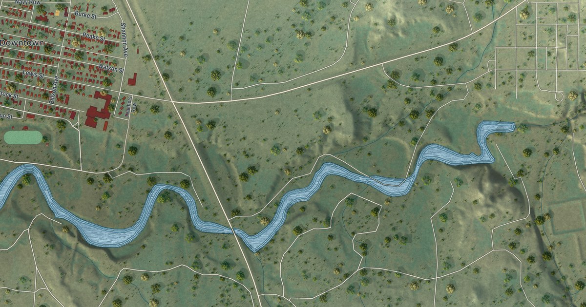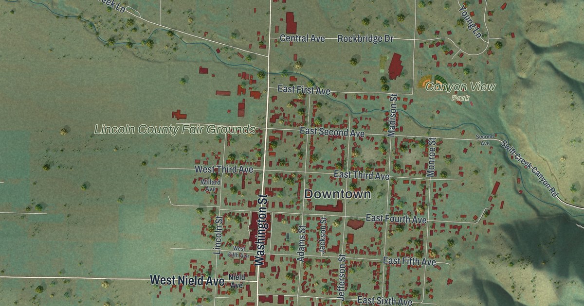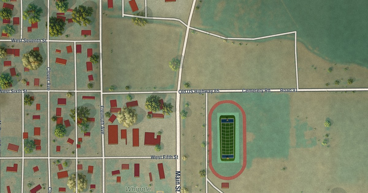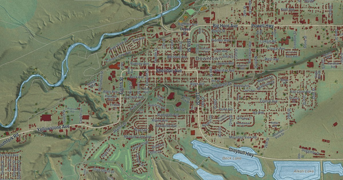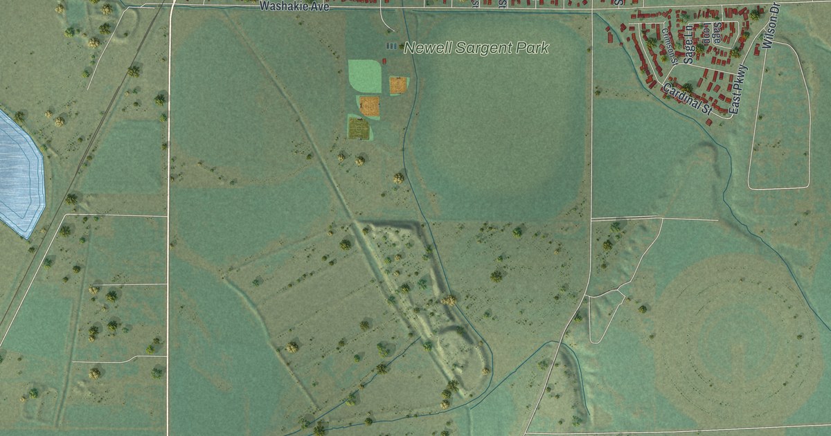
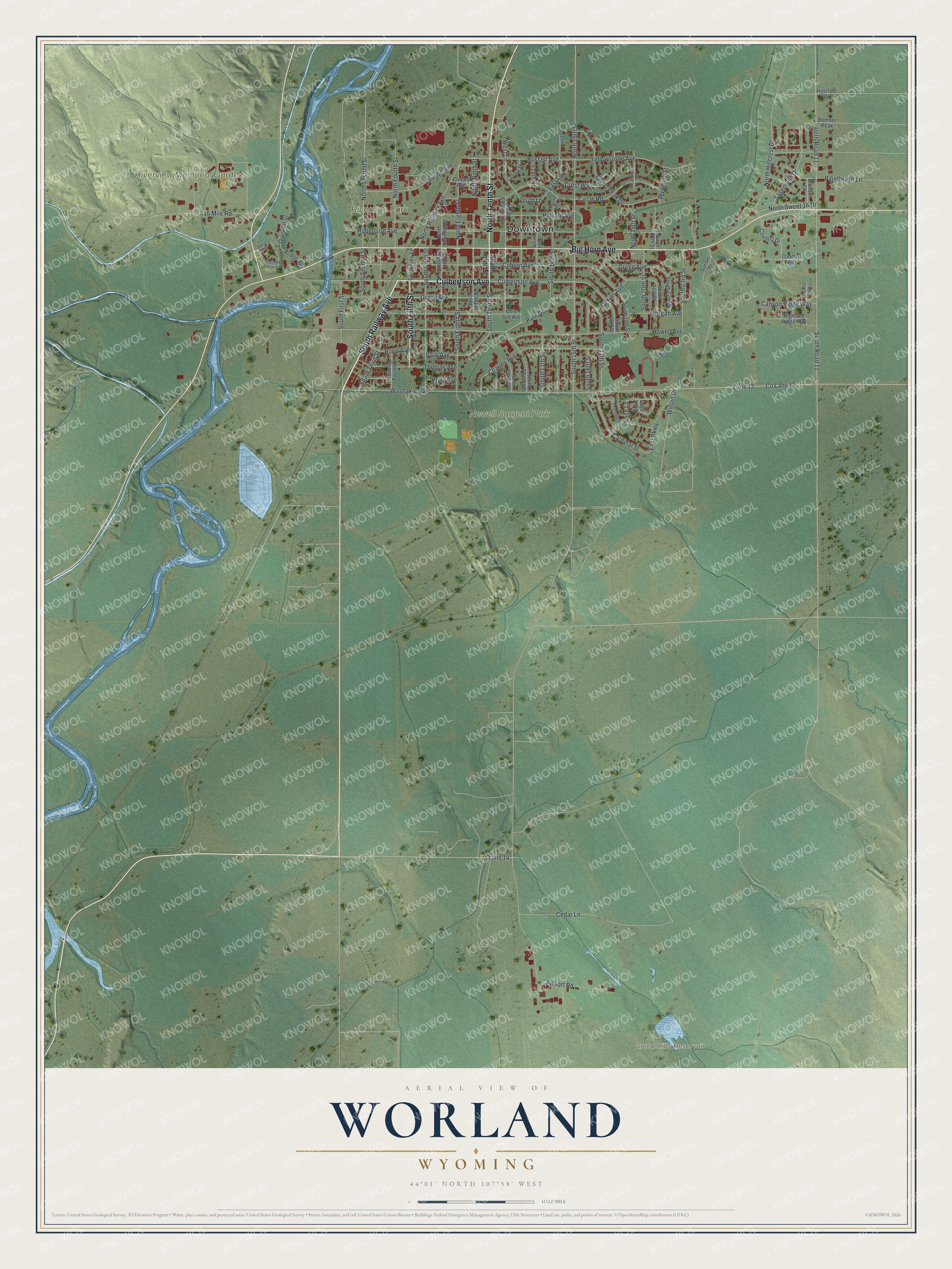
This beautifully detailed map of Worland, Wyoming was created in 2026 using aerial imagery combined with modern topographical, census, street and landmark data. It's a modern aerial view of Worland in Washakie County, Wyoming, that combines modern data with a vintage aesthetic. The roads feature printed names, and if you look closely you can find your exact house accurately shown in its correct location.
Explore an aerial view of Worland, Wyoming
On this map you'll find Downtown, Green Hills Reservoir, Newell Sargent Park, Riverview Memorial Gardens, Riverside Park, Culbertson Avenue, South Railway Avenue, North Tenth Street, Big Horn Avenue, South Fifth Street, South Tenth Street, Park Drive, and more. Each red shape is a building, so zoom in on the preview and look for yours.
Every town has a first chapter, and Worland is no exception. The Wyoming State Historical Society puts it this way: "For the first time, women were hired at the Holly Sugar Company factory in Worland."
Worland is a city in Washakie County. The Census Bureau counted 4,773 people here in 2020.
Take a closer look at the Worland map
Names on this map
These names are printed on this map.
Places: Downtown, Green Hills Reservoir, Newell Sargent Park, Riverview Memorial Gardens and Riverside Park.
Streets and roads: Culbertson Avenue, South Railway Avenue, North Tenth Street, Big Horn Avenue, South Fifth Street, South Tenth Street, Park Drive, South 14th Street, Grace Avenue, North Second Street, West Lane, South 23rd Street.
More street names, A to Z
15 Mile Road, 15th Street, Airport Road, Bluebell Lane, Bomber Peak, Bret Way, Bridge Avenue, Canyon Ridge Way, Cardinal Street, Cedar Lane, Charles Avenue, Circle Road, Cloud Peak Drive, Coburn Avenue, Co Lane 12, Conant Avenue, Country Drive, Country Road, Coveway, Crest Way, Crimson Street, Division Street, East Lane, East Parkway, Gregg Avenue, Harkins Avenue, Highland Ridge Way, Hillcrest Drive, Holly Avenue, Howell Avenue, Lane 12, Lane 14, Lawson Avenue, Meadowlark Lane, Morgan Avenue, North 13th Street, North 14th Street, North 15th Street, North 19th Street, North 20th Street, North Eighth Street, North Eleventh Street, North Fourth Street, North Hillcrest Drive, North Lane, North Ninth Street, North Railway Avenue, North Road 11, North Seventh Street, North Sweet 16 Drive, Obie Sue Avenue, Paintbrush Lane, Park Avenue, Pine Crest Place, Pleasant View Drive, Pulliam Avenue, Robertson Avenue, Rupp Avenue, Russell Avenue, Sagebrush Drive, Sage Lane, Sage Loop, South 13th Street, South 15th Street, South 16th Street, South 17th Street, South 18th Street, South 19th Street, South 20th Street, South 21st Street, South 22nd Street, South Eighth Street, South Eleventh Street, South First Street, South Fourth Street, South Lane, South Ninth Street, South Road 11, South Second Street, South Seventh Street, South Sixth Street, South Third Street, South Twelfth Street, Spruce Street, Sunset Drive, Thomas Avenue, Washakie Avenue, Wilson Drive, Wyoming Street, Yellowstone Avenue.
Created by KNOWOL in 2026. The buildings are small red shapes, the roads carry their printed names, and shaded relief shows the shape of the land. The title panel reads "AERIAL VIEW OF WORLAND WYOMING" with 44°01' NORTH 107°58' WEST.
Hang it in the hallway, the office or the cabin, or give it to someone who left Worland and still calls it home. Open the preview and look for a street you know. See sizes and frames for the Worland map.