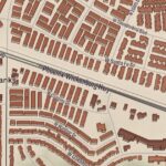
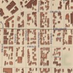
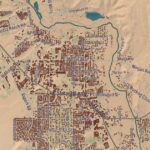
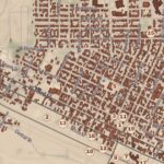
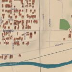
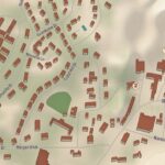
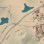
Beautifully Detailed Map of Rockville Centre, New York
This map of Rockville Centre, New York was created by KNOWOL in the tradition of nineteenth...
Read More
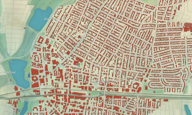
This map of Rockville Centre, New York was created by KNOWOL in the tradition of nineteenth...
Read More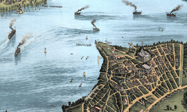
Vintage map of Lake Chautauqua, New York created in 1885 by the Matthews-Northrup Company of Buffalo, New York. The map shows a beautiful bird’s-eye view of Chautauqua Lake as it once was, with steamboats crossing the water, small lakefront communities along the shore, winding country roads, railroads, wooded hills, open farmland, hotels, docks, and summer places that shaped life around the lake in the late 1800s. This restored and colorized edition brings the historic view back to life while preserving the original linework, labels, and details of the 1885 map.
Read More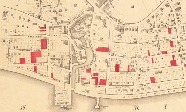
Historic map of Yonkers from 1859
Read More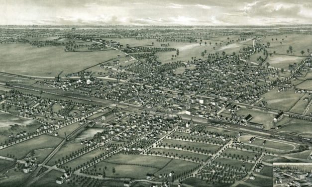
Bird’s eye view of Canastota, NY in 1885
Read More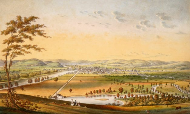
This old hand colored view shows Elmira, New York in the mid-19th century.
Read More