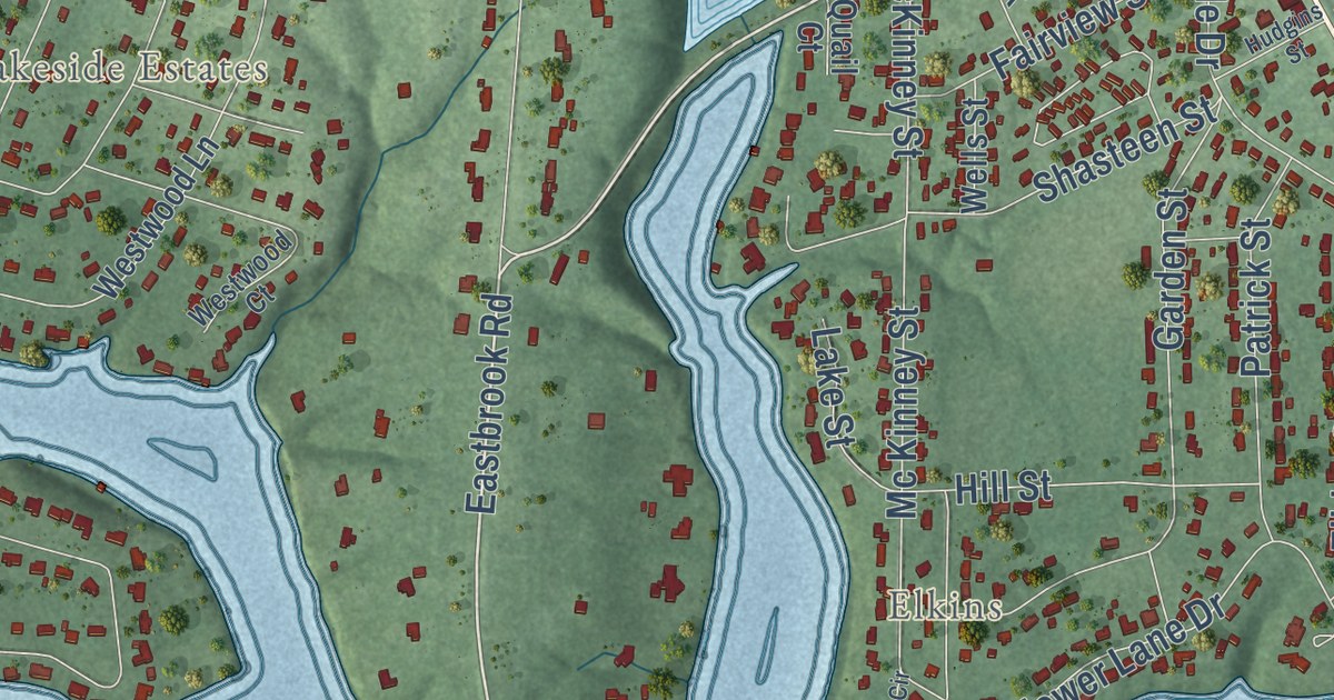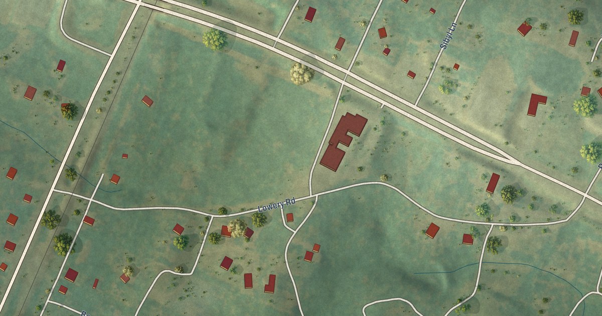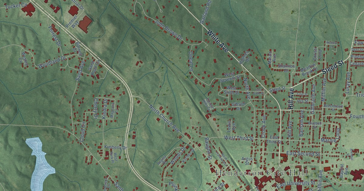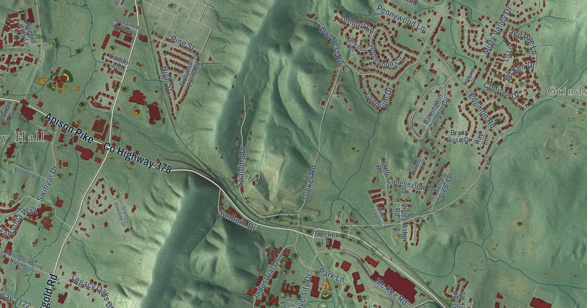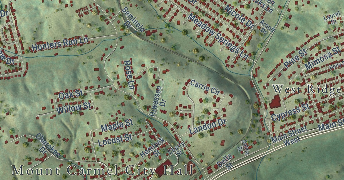
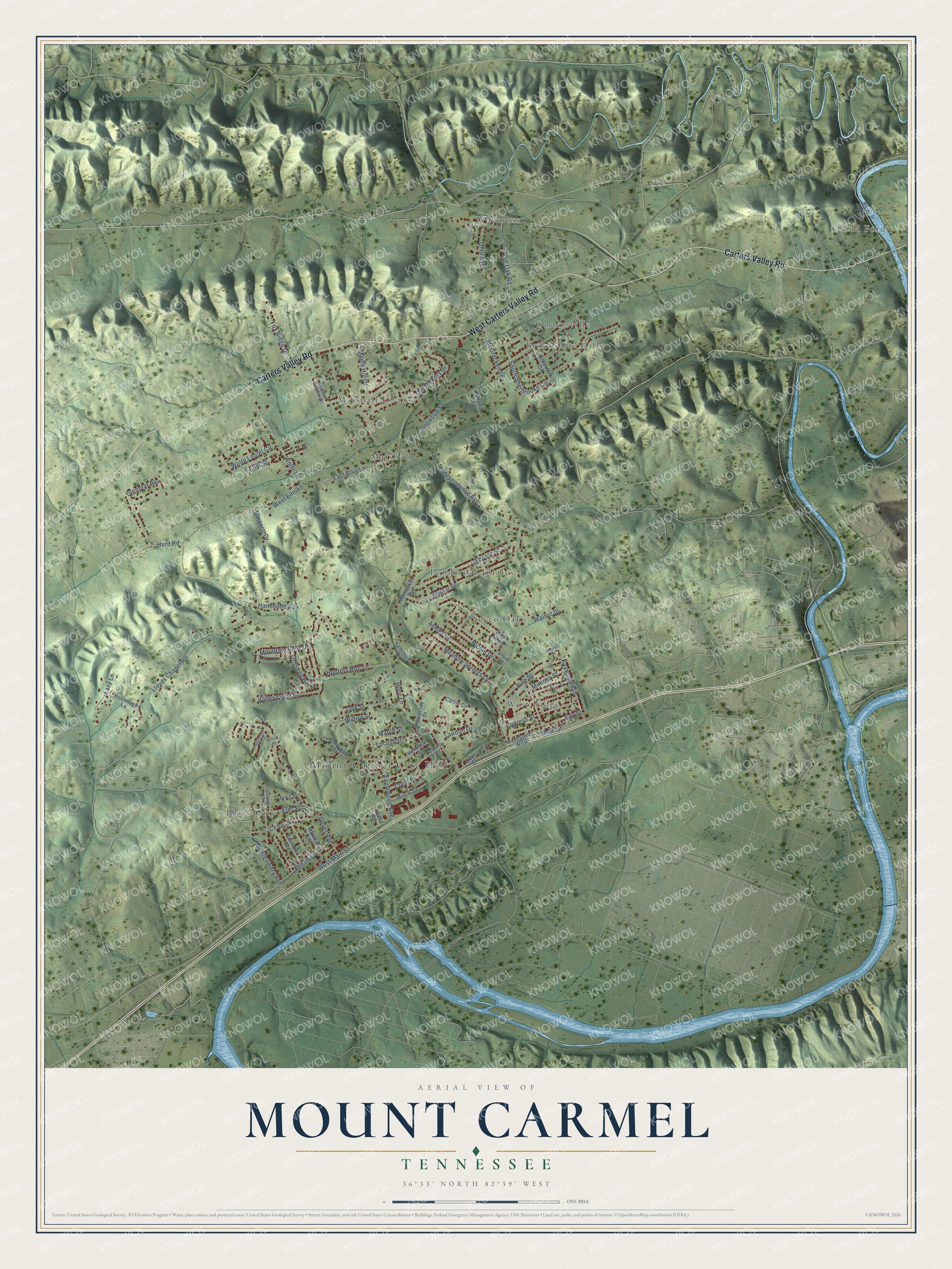
This beautifully detailed map of Mount Carmel, Tennessee was created in 2026 using aerial imagery combined with modern topographical, census, street and landmark data. It’s a one-of-a-kind view of Mount Carmel that combines accurate data with a vintage aesthetic. The map shows every building in its true location, many of the roads carry their names, and the shaded topographic relief shows the shape of the land.
Explore an aerial view of Mount Carmel, Tennessee
On the map you’ll find Mount Carmel City Hall, Block City, Brookshire Hills, Cartersville, Marshall, Marshall Estates, Ponderosa Estates, Seven Oaks, Waycross, and West Ridge, along with Carters Valley Road, West Carters Valley Road, and more. If you look closely you can even find your house accurately drawn in its correct location. Zoom in on the preview to look for yours.
Did you know this piece of Mount Carmel, Tennessee history?
From the Town of Mount Carmel: "Officially incorporated in 1961, the town takes its name from the Mount Carmel Methodist Church, which once stood where Liberty Hill Cemetery is today."
Take a closer look at the Mount Carmel map
Street and place names on the Mount Carmel, Tennessee map
These names are printed on the map of Mount Carmel, Tennessee.
Places: Mount Carmel City Hall, Cloud Ford, Marshall Estates, Waycross, Block City, Seven Oaks, Brookshire Hills, West Ridge, Marshall, Ponderosa Estates and Cartersville.
Streets and roads: West Carters Valley Road, Carters Valley Road, Englewood Avenue, West Main Street, Old Hickory Drive, South Sherbrooke Circle, Independence Avenue, Hammond Avenue, Redwood Street, Lloyds Chapel Road, Dover Avenue, Valley Crest Drive.
More street names, A to Z
Arnott Drive, Asheville Avenue, Ashley Drive, Baranco Drive, Bay Street, Beech Street, Belmont Avenue, Big Oak Road, Birch Street, Blue Jay Lane, Brookton Drive, Carrie Circle, Cedar Street, Cherokee Drive, Cherry Street, Chesapeake Drive, Crest Drive, Cypress Street, Daffodil Lane, Dahlia Street, Della Street, East Ellis Lane, East Street, Elm Street, Forest Road, Fox Ridge Drive, Glenmar Avenue, Grandview Drive, Hemlock Street, Hermitage Lane, Hiwassee Drive, Holly Street, Hunters Run Lane, Hurd Road, Ivy Lane, Kaywood Avenue, Landon Drive, Laurel Street, Lazy Lane, Locust Street, Main Street, Main Street West, Maple Hill Drive, Maple Street, Marshall Avenue, McCracken Lane, Meadow Springs Lane, Mimosa Street, Montgomery Avenue, Mountain View Drive, Nantucket Avenue, Nicole Drive, Oak Street, Ohio Avenue, Pine Street, Poplar Street, Ramblewood Drive, Rose Lane, Seminole Drive, Seven Oaks Lane, Spruce Street, Sunrise Meadow Court, Unaka Avenue, Walnut Street, West Ellis Lane, Willow Street, Wolfe Lane, Wolfe Laurel Circle.
See the Mount Carmel, Tennessee map on a wall
The Mount Carmel map as an 18 x 24 inch print in a black frame.

This beautifully detailed map of Mount Carmel makes an attractive addition to your office, library, or den, and it can even be used to teach children the geography and history of the area. It also makes a great gift for someone who left Mount Carmel and still calls it home. When you’re done exploring, click here to get your copy of the Mount Carmel map.