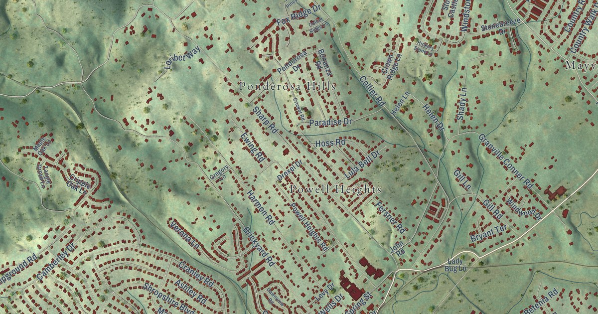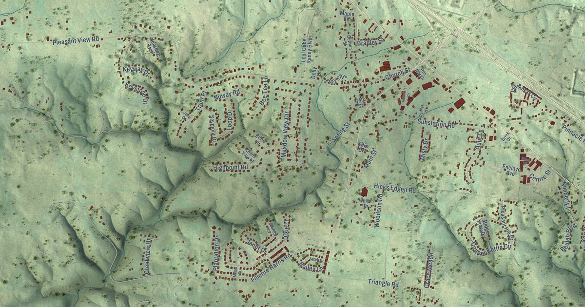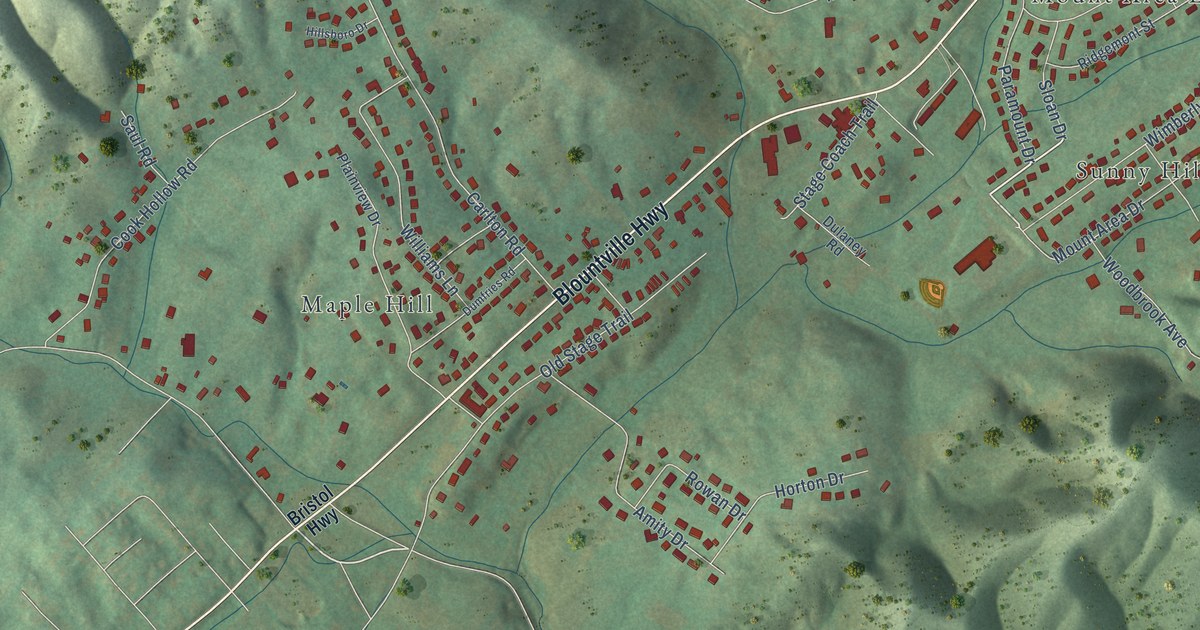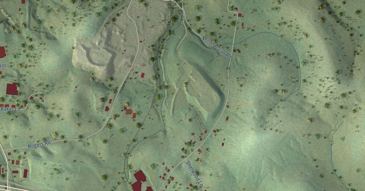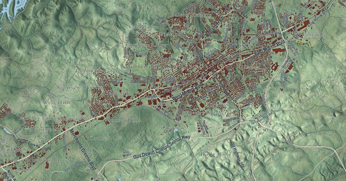
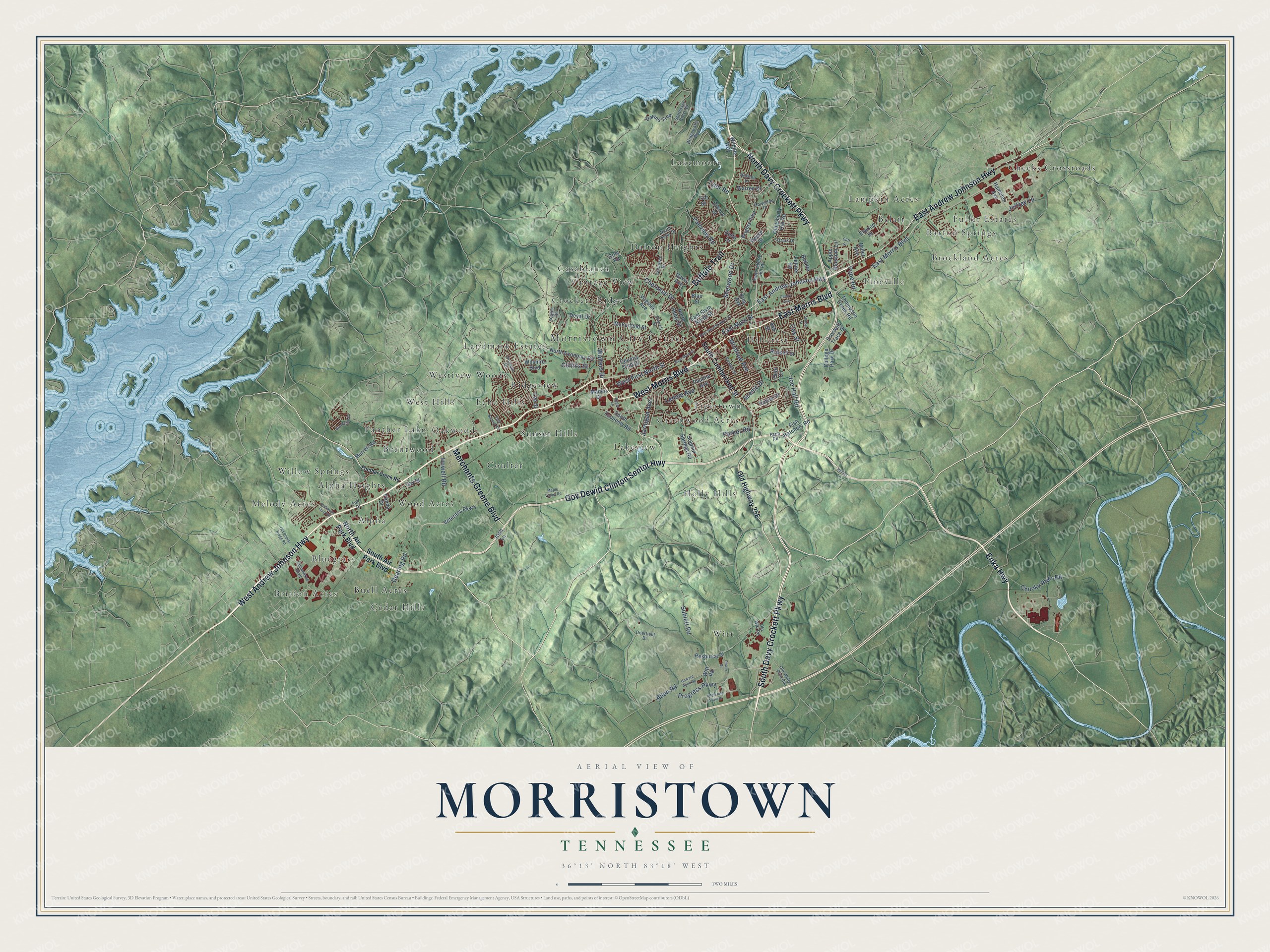
This beautifully detailed map of Morristown, Tennessee was created in 2026 using aerial imagery combined with modern topographical, census, street and landmark data. It's a modern aerial view of Morristown in Hamblen County, Tennessee, that combines modern data with a vintage aesthetic. The roads feature printed names, and if you look closely you can find your exact house accurately shown in its correct location.
Explore an aerial view of Morristown, Tennessee
On this map you'll find Morristown City Center, Alpha, Alpha Heights, Barton Springs, Belair, Bluegrass, Brentwood, Britton Acres, Brockland Acres, Buell Acres, Casablanca, Cedar Hills, and more. Each red shape is a building, so zoom in on the preview and look for yours.
Every town has a first chapter, and Morristown is no exception. The Internet Archive puts it this way: "Thompson is the only man now' living
in Morristown wrho resided here when he first took up his residence in the town, all
others having passed away."
Morristown is a city in Hamblen County. The Census Bureau counted 30,431 people here in 2020.
Take a closer look at the Morristown map
Names on this map
These names are printed on this map.
Places: Morristown City Center, Alpha, Alpha Heights, Barton Springs, Belair, Bluegrass, Brentwood, Britton Acres, Brockland Acres, Buell Acres, Casablanca, Cedar Hills, Cheeks Crossroads, Coulter, Crockett Ridge, Dalton Heights, Echo Hills, Fuller Estates, Greenwood Acres, Hillcrest, Holly Hills, Lakemoore, Lakeview, Lampkin Acres, Landmark Estates, Melody Acres, Oakwood, Panther Lake, Pineville, Ridgeview, Sunset Hills, Tigertown, Vantage View, West Hills, Westivew Woods, Willow Springs, Witt and Wood Acres.
Streets and roads: South Davy Crockett Parkway, Gov Dewitt Clinton Sentor Highway, West Morris Boulevard, Enka Highway, Buffalo Trail, West Andrew Johnson Highway, North Davy Crockett Parkway, East Andrew Johnson Highway, East Morris Boulevard, Merchants Greene Boulevard, West First North Street, Cherokee Drive.
More street names, A to Z
Allen Road, Apple Blossom Lane, Ash Street, Bell Road, Blair Street, Bridgewater Boulevard, Brights Pike, Brookfield Drive, Callaway Drive, Center Street, Cherry Avenue, Chucky River Road, Church Street, Clancy Street, Cliff Street, Cole Road, College Park Drive, Collinson Ford Road, Collins Street, Commerce Boulevard, Country Club Drive, Crockett Trace Drive, Davis Avenue, Dawns Trce, Dearing Road, Debi Circle, Deerfield Drive, Delta Drive, Doyal Drive, Drinnon Drive, East Main Street, East Second North Street, East Sixth North Street, East Sunset Hill, Elwood Drive, Fairview Road, Farm Road, Feltner Road, Fish Hatchery Road, Fox Drive, Hamblen Avenue, Hayter Drive, Helton Lane, Holston Drive, Howard Allen Road, Howell Road, Howerton Drive, Interstate View Drive, Jarnigan Avenue, Jay Street, Jeffrey Lane, Joe Hall Road, Josh Lane, King Avenue, Lee Street, Lennie Avenue, Maden Drive, Maple Valley Road, McFarland Street, Miller Avenue, Montvue Avenue, Murrell Road, North Air Park Boulevard, North Economy Road, North Henry Street, North Liberty Hill Road, North Outer Drive, Oak Street, Old Liberty Hill Road, Old Poplar Ridge Road, Old White Pine Road, Old Witt Road, Ozark Drive, Panda Drive, Panther Creek Road, Parker Road, Pauline Avenue, Pope Road, Power Drive, Prater Drive, Progress Parkway, Reese Street, Resource Drive, Russell Street, Ryder Lane, Scenic Drive, Sherwood Drive, South Air Park Boulevard, South Cumberland Street, South Economy Road, Starboard Crest Road, Sublett Road, Sulphur Springs Road, Taft Street, Thompson Creek Road, Tyler Road, Veterans Parkway, Virginia Avenue, Walters Drive, Warren Drive, West Main Street, Wilder Street, Wildlife Way, Wilshire Boulevard, Witt Road.
Created by KNOWOL in 2026. The buildings are small red shapes, the roads carry their printed names, and shaded relief shows the shape of the land. The title panel reads "AERIAL VIEW OF MORRISTOWN TENNESSEE" with 36°13' NORTH 83°18' WEST.
Hang it in the hallway, the office or the cabin, or give it to someone who left Morristown and still calls it home. Open the preview and look for a street you know. See sizes and frames for the Morristown map.