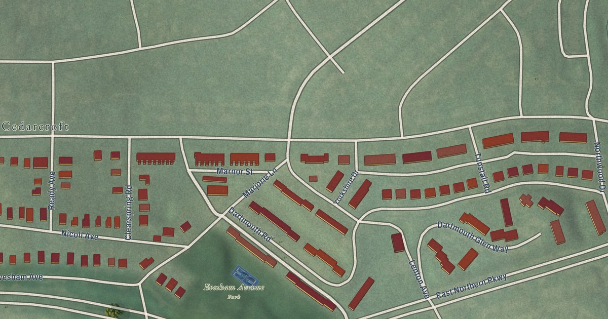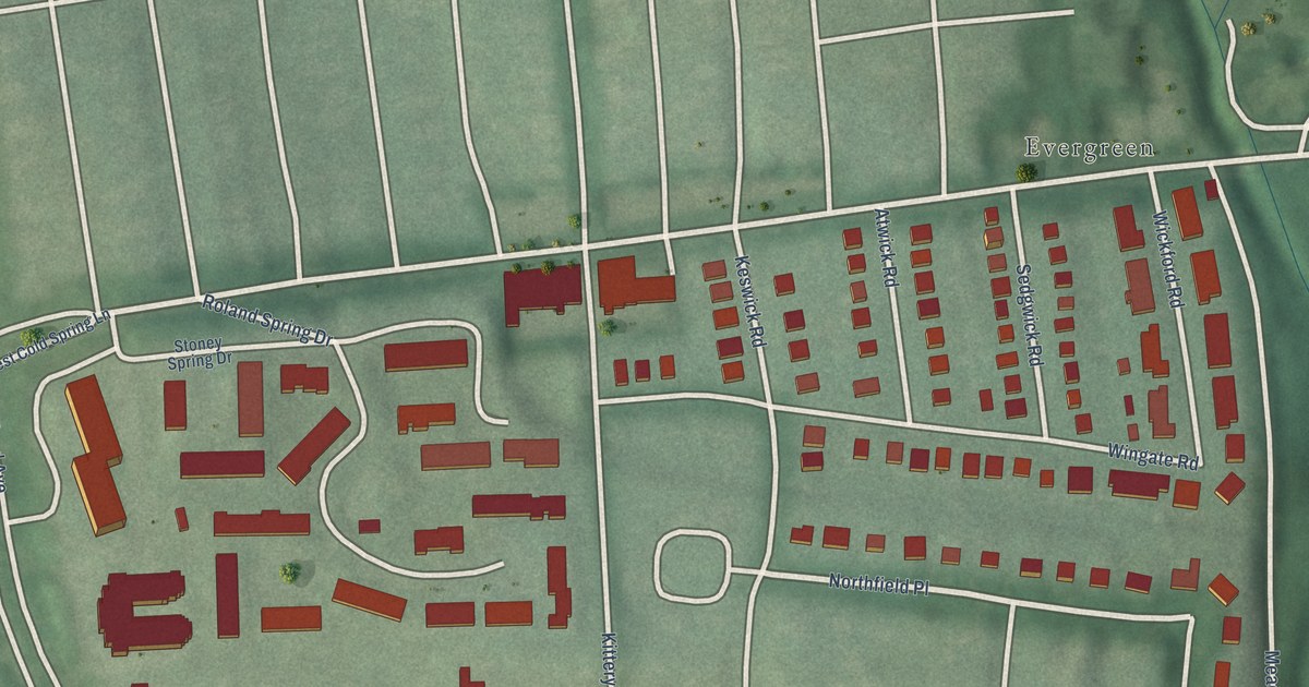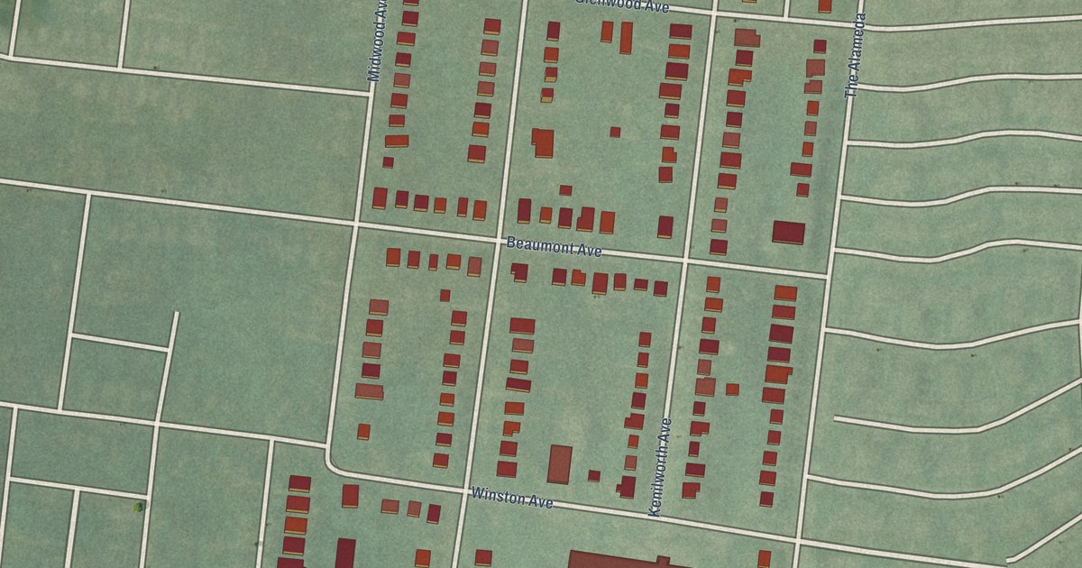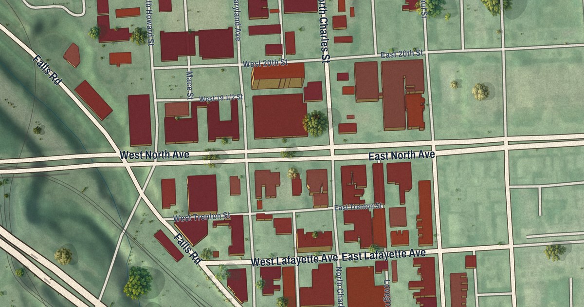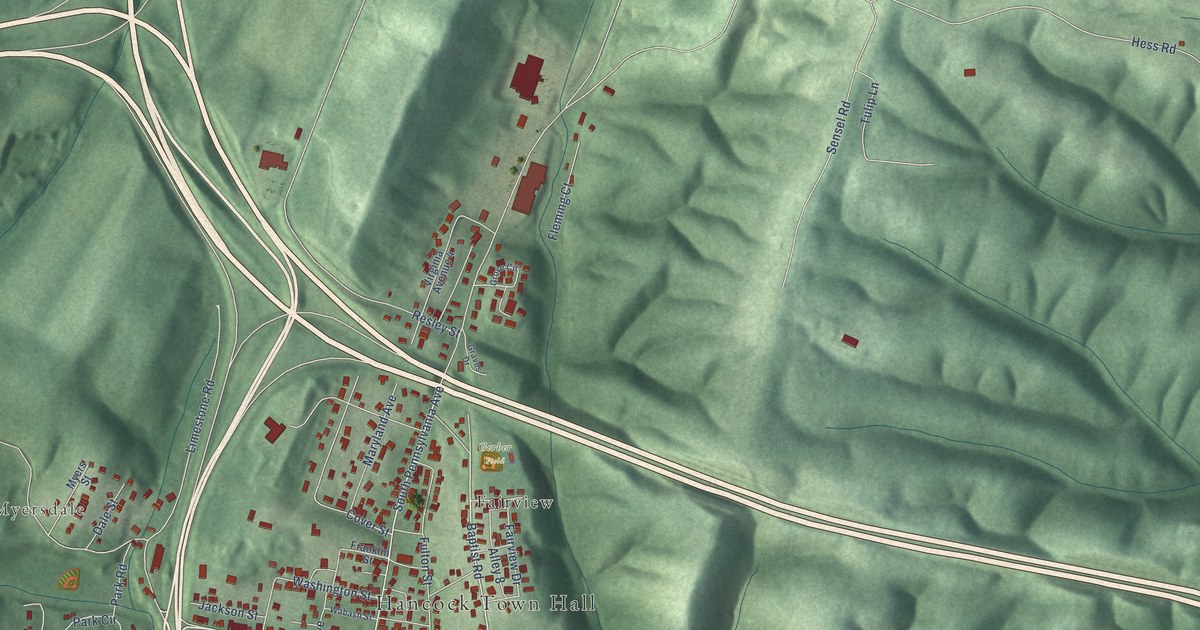
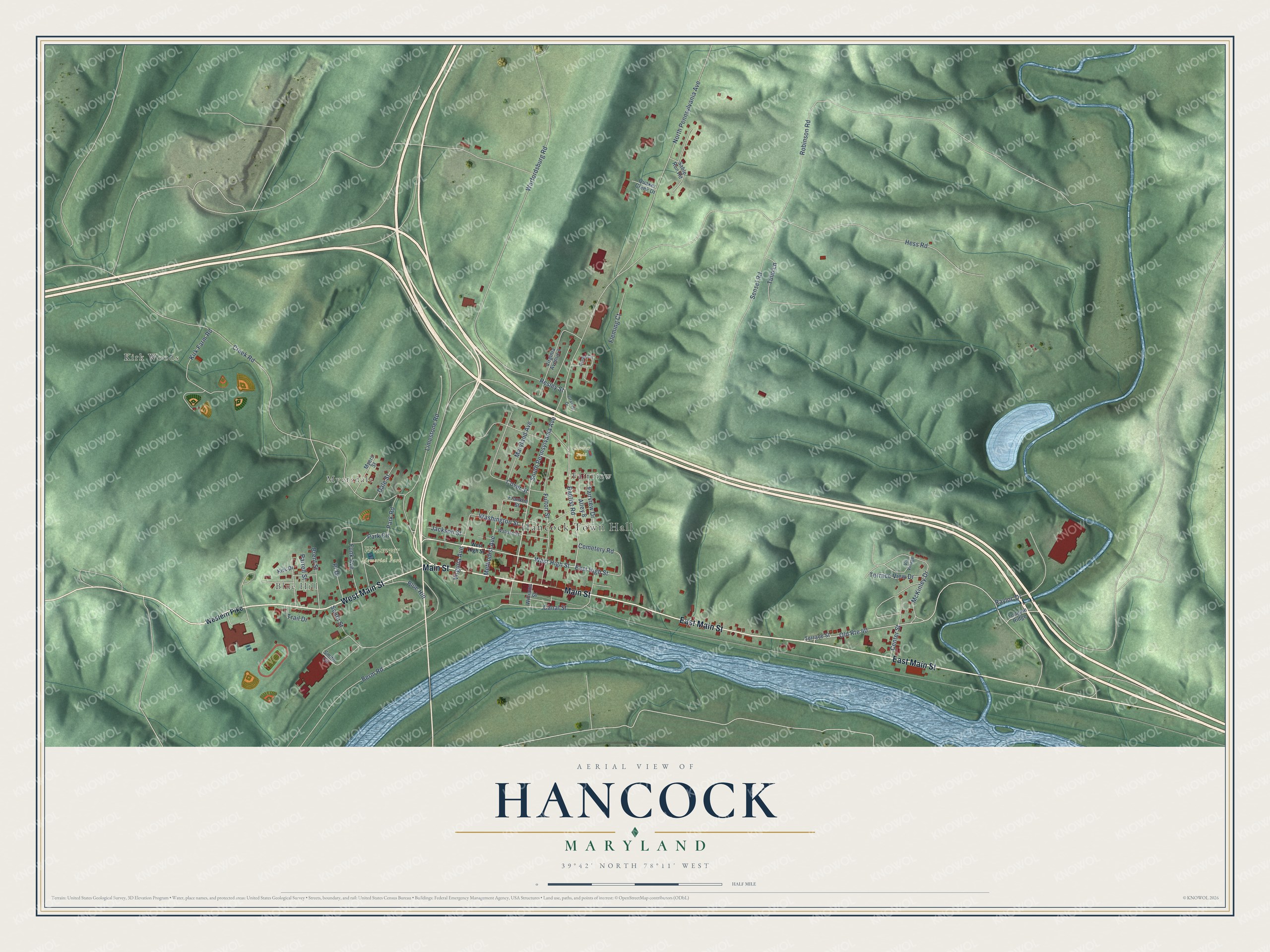
This beautifully detailed map of Hancock, Maryland was created in 2026 using aerial imagery combined with modern topographical, census, street and landmark data. It's a modern aerial view of Hancock in Washington County, Maryland, that combines modern data with a vintage aesthetic. The roads feature printed names, and if you look closely you can find your exact house accurately shown in its correct location.
Explore an aerial view of Hancock, Maryland
On this map you'll find Hancock Town Hall, Kirk Woods, Blue Hill, Myersdale, Widmyer Memorial Park, Gerber Field, Fairview, Main Street, West Main Street, East Main Street, West High Street, Baptist Road, and more. Each red shape is a building, so zoom in on the preview and look for yours.
Hancock has a story worth telling. The Town of Hancock puts it this way: "One of the oldest settlements in Western Maryland, Hancock derived its name from Edward Joseph Hancock, Jr., whose family operated the ferry at this northernmost point of the Potomac River."
Hancock is a town in Washington County. The Census Bureau counted 1,557 people here in 2020.
Take a closer look at the Hancock map
Names on this map
These names are printed on this map.
Places: Hancock Town Hall, Kirk Woods, Blue Hill, Myersdale, Widmyer Memorial Park, Gerber Field and Fairview.
Streets and roads: Main Street, West Main Street, East Main Street, West High Street, Baptist Road, East High Street, Old Route 40, Fairview Drive, Canal Street, Virginia Avenue, North Pennsylvania Avenue, Creek Road.
More street names, A to Z
Alley 8, Berm Road, Brent Street, Cemetery Road, Center Street, Cover Street, Dale Street, Fleming Court, Franklin Street, Fulton Street, Funk Avenue, Graves Drive, Grove Circle, Hess Road, Jackson Street, Kirk Drive, Kirk Farm Road, Limestone Road, Maryland Avenue, McKinley Drive, Methodist Avenue, Myers Street, Park Circle, Park Road, Parrell Street, Pr Drive, Quaker Creek Drive, Rayloc Drive, Resley Street, Robinson Road, Sable Run Road, Sensel Road, Smith Circle, South Pennsylvania Avenue, South Street, Terrace Street, Terrace View Drive, Tollgate Ridge, Trail Drive, Tulip Lane, Virginia Avenue 4, Vis Village, Wabash Street, Warfordsburg Road, Washington Street, Western Pike, Williams Street.
Created by KNOWOL in 2026. The buildings are small red shapes, the roads carry their printed names, and shaded relief shows the shape of the land. The title panel reads "AERIAL VIEW OF HANCOCK MARYLAND" with 39°42' NORTH 78°11' WEST.
It looks right in a kitchen, an office or a den, and it's a gift for anyone who grew up in Hancock or moved away. Open the preview and find your street. See sizes and frames for the Hancock map.