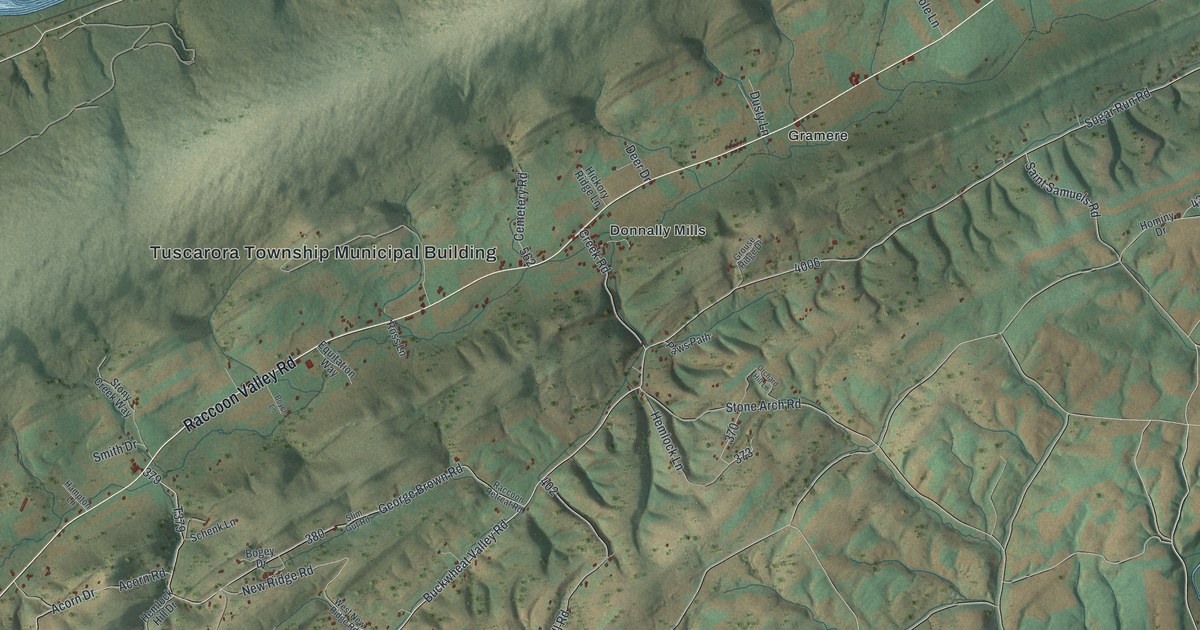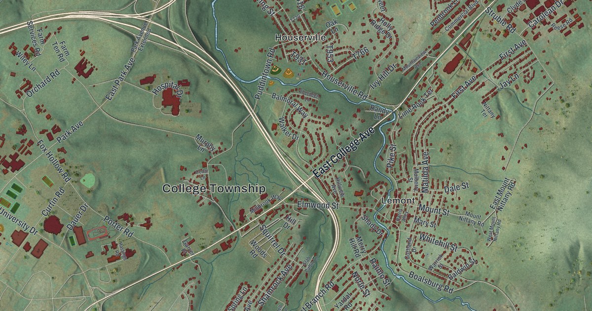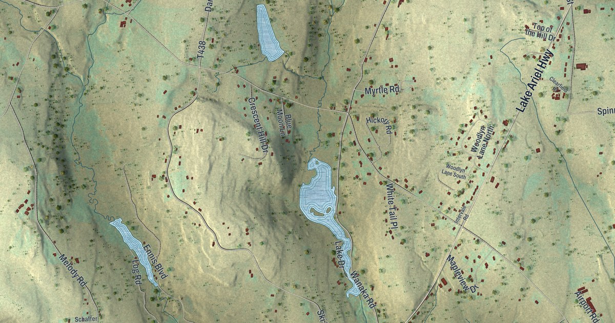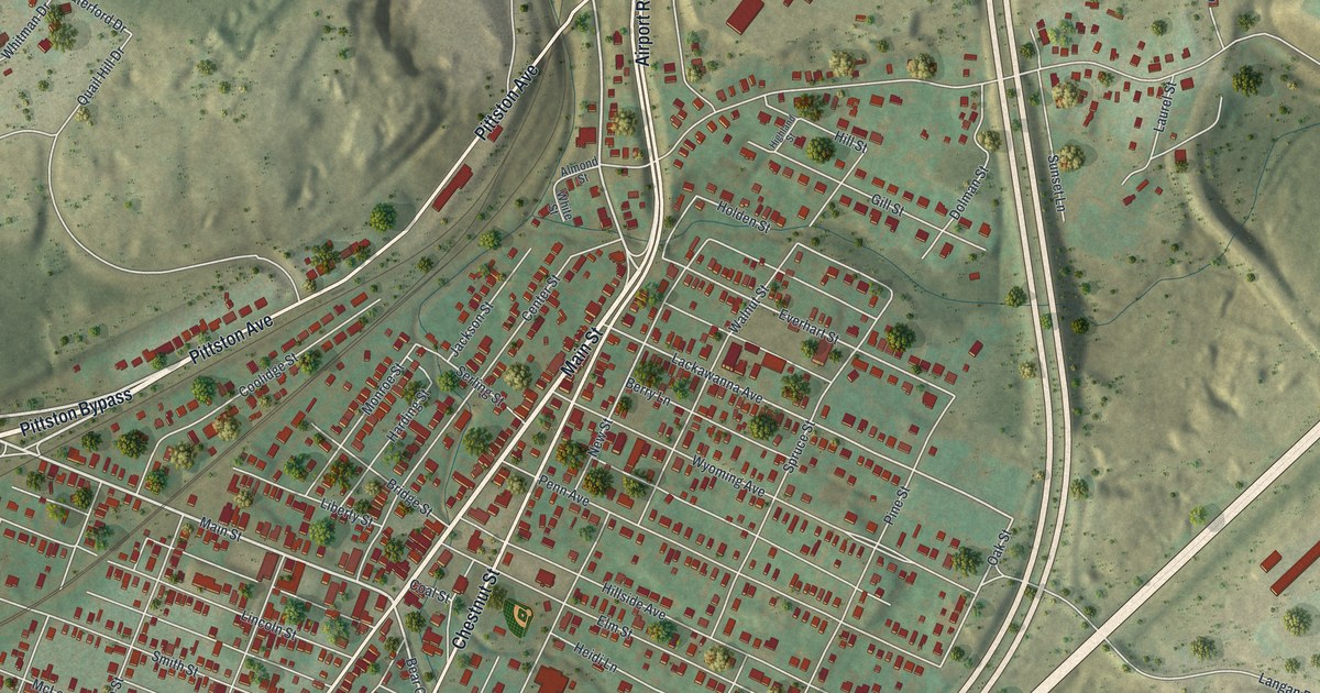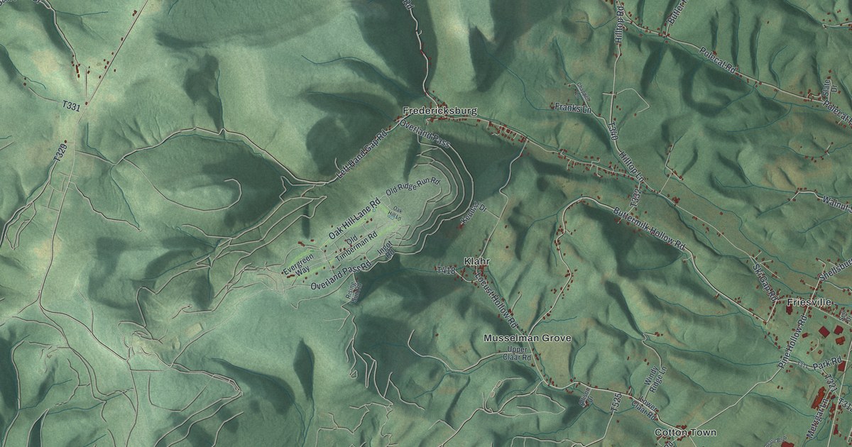
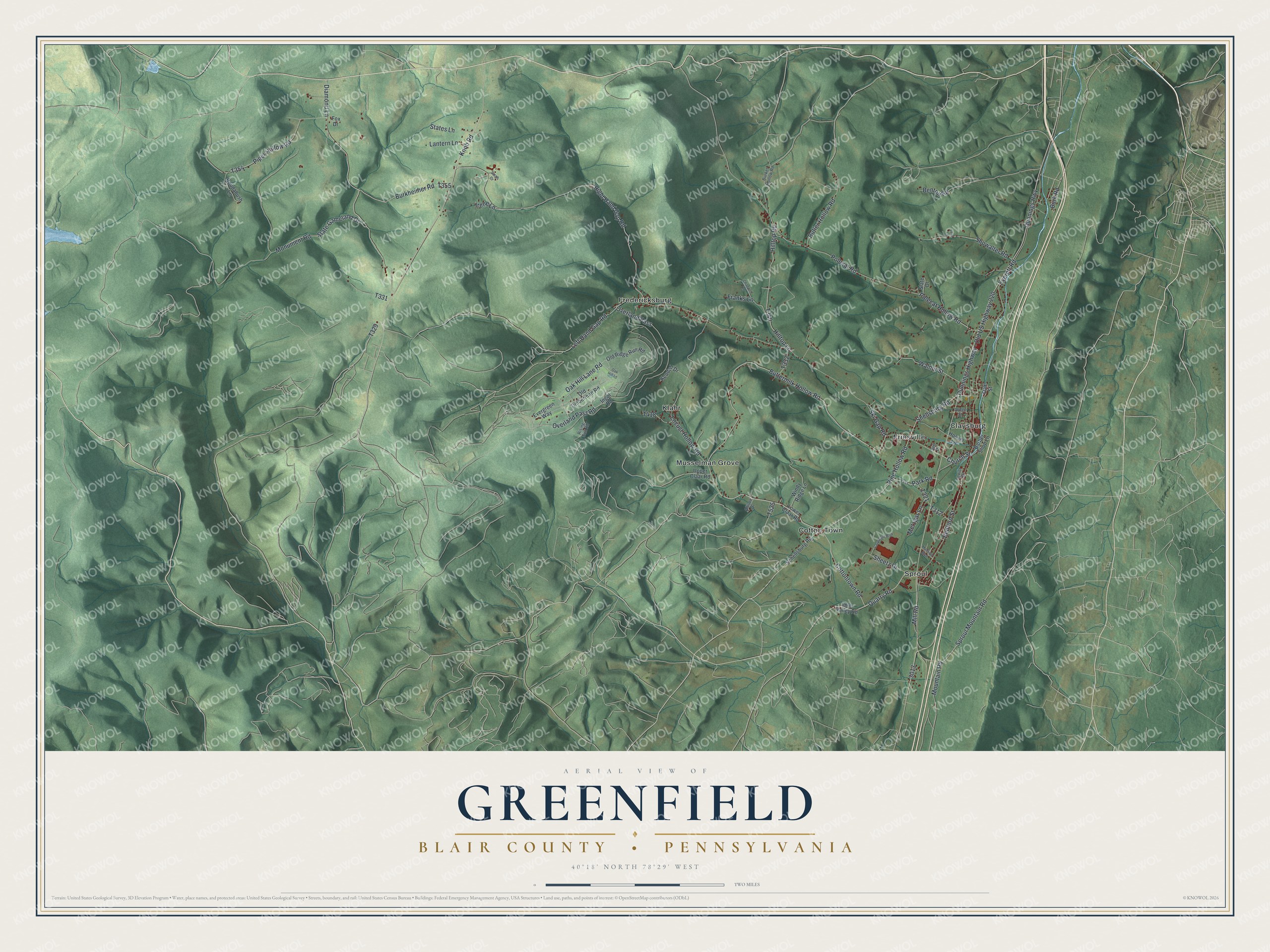
This beautifully detailed map of Greenfield, Blair County, Pennsylvania was created in 2026 using aerial imagery combined with modern topographical, census, street and landmark data. It's a modern aerial view of Greenfield, Blair County in Blair County, Pennsylvania, that combines modern data with a vintage aesthetic. The roads feature printed names, and if you look closely you can find your exact house accurately shown in its correct location.
Explore an aerial view of Greenfield, Blair County, Pennsylvania
On this map you'll find Claysburg, Cotton Town, Fredericksburg, Friesville, Klahr, Musselman Grove, Sproul, Dunnings Highway – Old US Highway 220, Dunnings Highway, Pine Hollow Road, Cottontown Road, Shellsburg Road, and more. Each red shape is a building, so zoom in on the preview and look for yours.
Every town has a first chapter, and Greenfield, Blair County is no exception. The Greenfield Township puts it this way: "According to the historical records, John Ulrich Zeth was the first to settle on the present site of Claysburg. He built a sawmill in 1805 and a grist mill the following year."
Greenfield, Blair County is a place in Blair County. The Census Bureau counted 3,788 people here in 2020.
Take a closer look at the Greenfield, Blair County map
Names on this map
These names are printed on this map.
Places: Claysburg, Cotton Town, Fredericksburg, Friesville, Klahr, Musselman Grove and Sproul.
Streets and roads: Dunnings Highway - Old US Highway 220, Dunnings Highway, Pine Hollow Road, Cottontown Road, Shellsburg Road, Quarry Road, Church Street, Buttermilk Hollow Road, Sproul Mountain Road, Left Hand Gap Road, Monument Road, Right Hand Gap Road.
More street names, A to Z
Allison Drive, Arden Street, Barber Shop Lane, Bedford Street, Benton Road, Burket Hollow Road, Burkheimer Road, Burk Road, Butler Hollow Road, Chappell Lane, Corporate Boulevard, Diamond Lane, Everett Road, Evergreen Way, Fox Drive, Franks Lane, Hilltop Lane, Hilltop Road, Hoover Lane, Imler Valley Road, Ingot Road, Irene Lane, Kendall Drive, Knob Road, Lantern Lane, Leaf Lane, Locust Hollow Road, Lower Claar Road, Mansion Boulevard, Metzgar Lane, Mill Road, Mountain Road, Oak Hill Lane, Oak Hill Lane Road, Oak Street, Old Ridge Run Road, Old Timberman Road, Overland Pass, Overland Pass Road, Park Road, Piper Hollow Road, Polecat Hollow Road, Polecat Road, Rising Sun Road, Roudabush Lane, Sarah Drive, Schellsburg Road, Sell Drive, Senior Drive, Sheetz Drive, Showalter Road, Ski Gap Road, Slate Drive, State Gameland Drive, States Lane, Upper Claar Road, Walnut Street, Windy Ridge Lane.
Created by KNOWOL in 2026. The buildings are small red shapes, the roads carry their printed names, and shaded relief shows the shape of the land. The title panel reads "AERIAL VIEW OF GREENFIELD BLAIR COUNTY • PENNSYLVANIA" with 4, 0, °, 1, 8, ', , N, O, R, T, H, , 7, 8, °, 2, 9, ', , W, E, S, T.
Hang it in the hallway, the office or the cabin, or give it to someone who left Greenfield, Blair County and still calls it home. Open the preview and look for a street you know. See sizes and frames for the Greenfield, Blair County map.