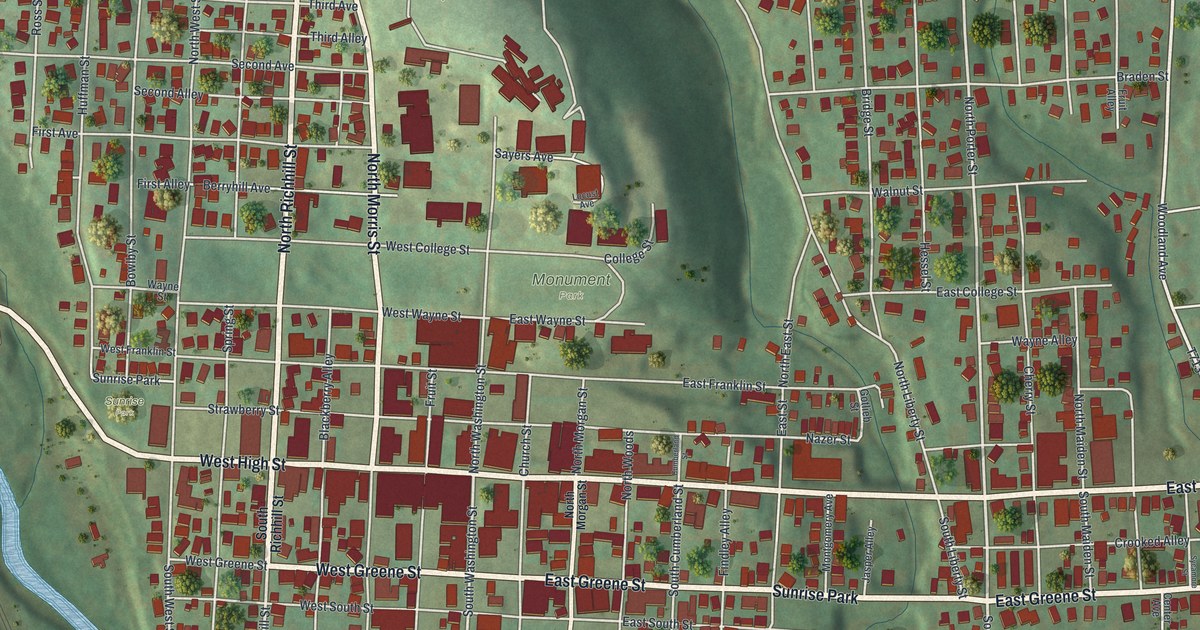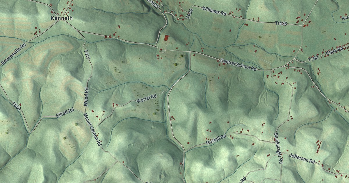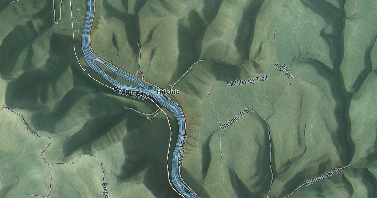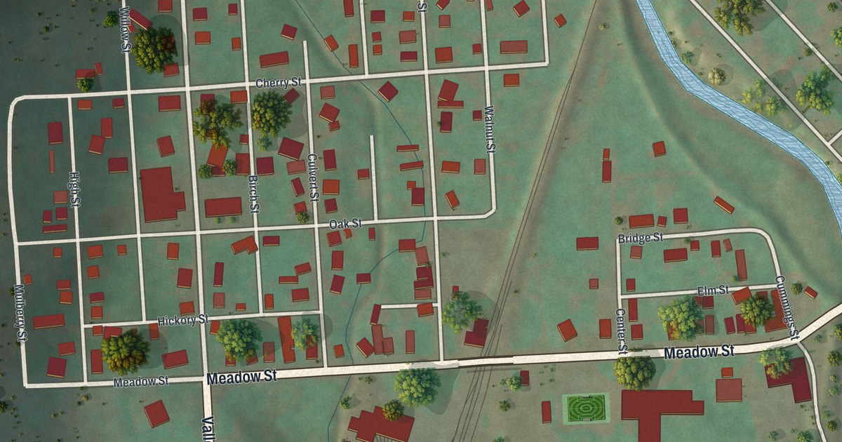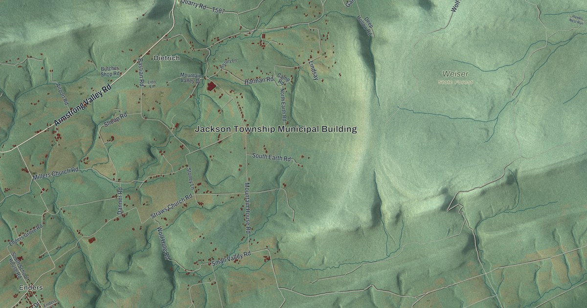
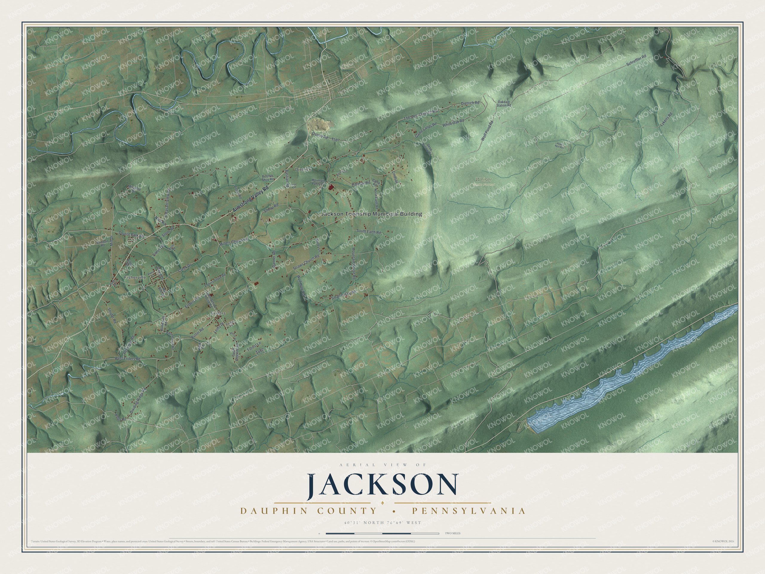
This beautifully detailed map of Jackson, Dauphin County, Pennsylvania was created in 2026 using aerial imagery combined with modern topographical, census, street and landmark data. It's a modern aerial view of Jackson, Dauphin County in Dauphin County, Pennsylvania, that combines modern data with a vintage aesthetic. The roads feature printed names, and if you look closely you can find your exact house accurately shown in its correct location.
Explore an aerial view of Jackson, Dauphin County, Pennsylvania
On this map you'll find Jackson Township Municipal Building, Weiser State Forest, Dietrich, Enders, Fisherville, Armstrong Valley Road, Rutter Road, West Enders Road, Enders Road, Mill Drive, Dietrich Road, Lentz Drive, and more. Each red shape is a building, so zoom in on the preview and look for yours.
Every town has a first chapter, and Jackson, Dauphin County is no exception. The Jackson Township puts it this way: "Jackson Township was named for General Andrew Jackson, hero of the War of 1812. Jackson Township is located in the northeast region of Lebanon County and consists of 15,168 acres or almost twenty-four square miles of land area."
Jackson, Dauphin County is a place in Dauphin County. The Census Bureau counted 1,827 people here in 2020.
Take a closer look at the Jackson, Dauphin County map
Names on this map
These names are printed on this map.
Places: Jackson Township Municipal Building, Weiser State Forest, Dietrich, Enders and Fisherville.
Streets and roads: Armstrong Valley Road, Rutter Road, West Enders Road, Enders Road, Mill Drive, Dietrich Road, Lentz Drive, Elmer Drive, White Oak Road, Game Lands Road, Lykens Road, Mountain House Road.
More street names, A to Z
Airport Road, Baddorf Road, Bastian Road, Baumbaugh Road, Bible Road, Bombaugh Road, Butcher Shop Road, Camp Road, Creek Drive, Danner Road, David Drive, Deep Hollow Road, Deitrich Road, Dividing Ridge Road, Enders Grove Road, Enders Lane, Field Road, Forest Lane, Harman Road, Hawks Nest Run, History Lane, Keiter Road, Lindsay, Lion Lane, Mar Bob Road, Millers Church Road, Millwood Drive, Mountain Valley Drive, Nice Road, North Earth Road, Oakdale Station Road, Pine Street, Pleasant View Road, Quarry Road, Rettinger Road, Ridge Road, Ronnie Lane, Schreffler Road, Shertzer Road, Shoop Road, Small Valley Road, Snyder Road, South Earth Road, South Enterline Road, South School House Road, Stone Road, Stoney Lane, Straws Church Road, Tourist Park Road, Wolf Hole Road, Wolf Pond Road.
Created by KNOWOL in 2026. The buildings are small red shapes, the roads carry their printed names, and shaded relief shows the shape of the land. The title panel reads "AERIAL VIEW OF JACKSON DAUPHIN COUNTY • PENNSYLVANIA" with 4, 0, °, 3, 1, ', , N, O, R, T, H, , 7, 6, °, 4, 9, ', , W, E, S, T.
Hang it in the hallway, the office or the cabin, or give it to someone who left Jackson, Dauphin County and still calls it home. Open the preview and look for a street you know. See sizes and frames for the Jackson, Dauphin County map.