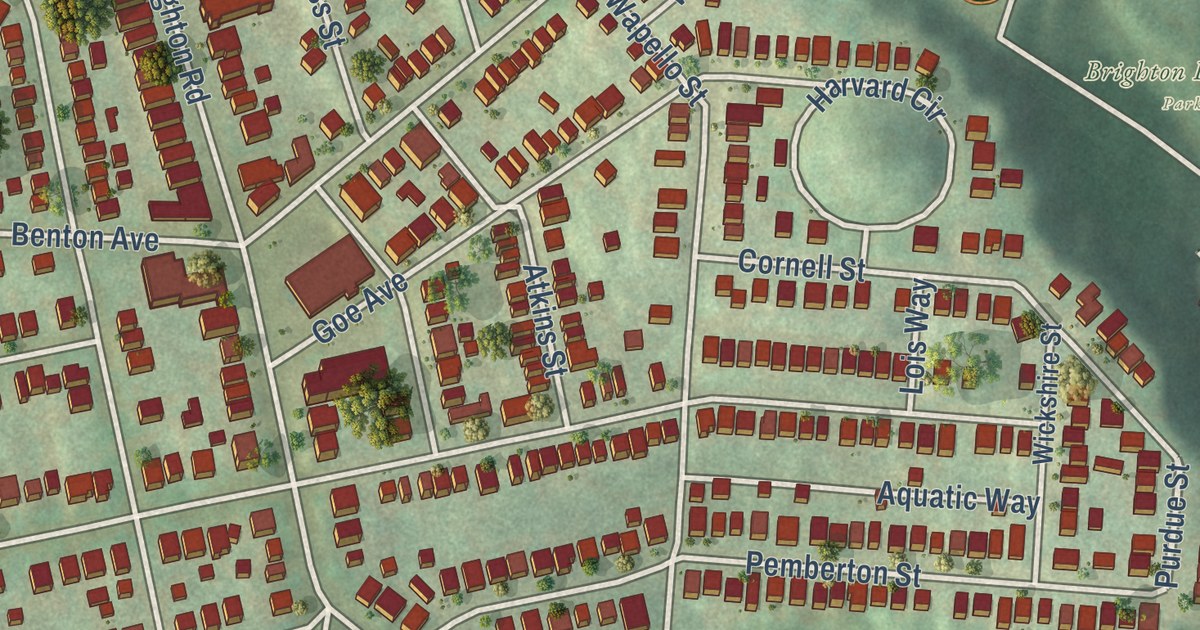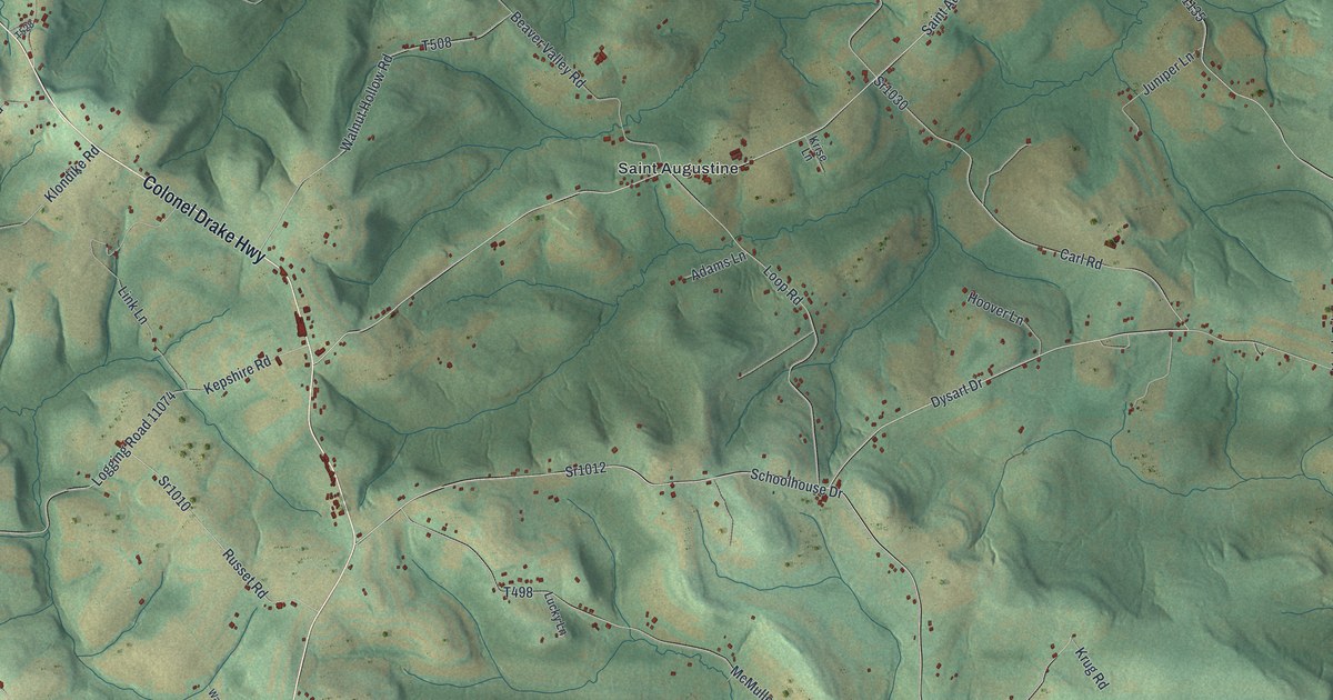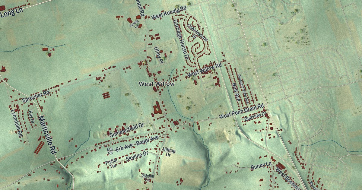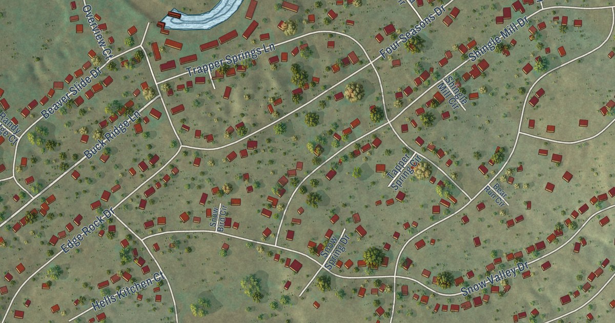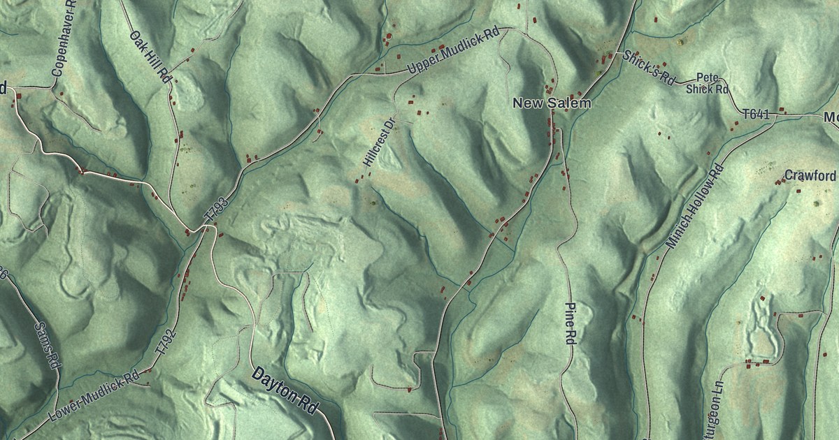
This beautifully detailed map of Redbank, Armstrong County, Pennsylvania was created in 2026 using aerial imagery combined with modern topographical, census, street and landmark data. It’s a one-of-a-kind view of Redbank that combines accurate data with a vintage aesthetic. The map shows every building in its true location, many of the roads carry their names, and the shaded topographic relief shows the shape of the land.
Explore an aerial view of Redbank, Armstrong County, Pennsylvania
On the map you’ll find Mc Gregor, Charlestown, Eddyville, McCrea Furnace, McWilliams, Mount Tabor, New Salem, North Freedom, and Oak Ridge, along with Dayton Road, Punxsy Road, Oak Hill Road, and more. If you look closely you can even find your house accurately drawn in its correct location. Zoom in on the preview to look for yours.
Did you know this piece of Redbank, Armstrong County, Pennsylvania history?
From PA Roots: "The present township of Red Bank, in this county, contains only about one-sixth or one-seventh of the territory included within the limits of old Red Bank township, organized September 18, 1806."
Take a closer look at the Redbank, Armstrong County map
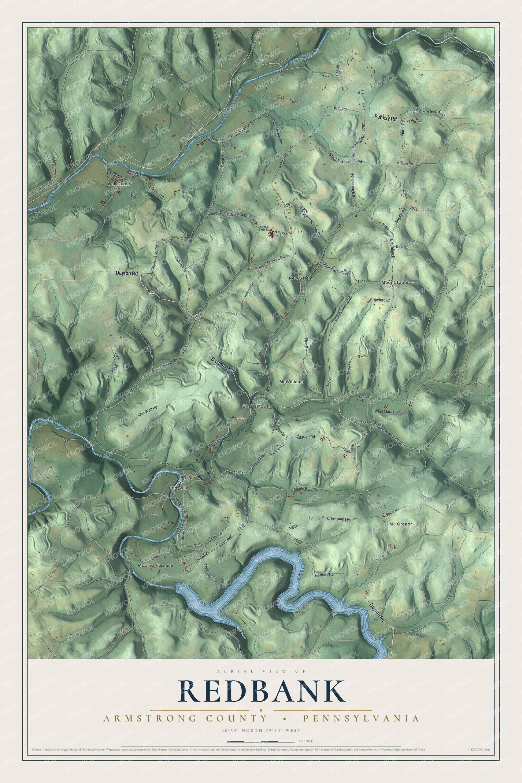
Street and place names on the Redbank, Armstrong County, Pennsylvania map
These names are printed on the map of Redbank, Armstrong County, Pennsylvania.
Places: Mc Gregor, Charlestown, Eddyville, McCrea Furnace, McWilliams, Mount Tabor, New Salem, North Freedom and Oak Ridge.
Streets and roads: Dayton Road, Punxsy Road, Oak Hill Road, Maple Road, Fisher Station Road, Hoffman Road, Sr1015, Dry Ridge Road, Jantz Road, Government Road, Gentz Road, Creek Road.
More street names, A to Z
Alcorn Lane, Black Road, Blose Lane, Copenhaver Road, Crawford Lane, Creek Camp Lane, Crossroads Road, Eddie Lane, Eddyville Road, Farm Road, Fisher Road, Gas Well Road, George Road, German Road, Gross Lane, Hartman Road, Hickory Road, Hillcrest Drive, Hollenbaugh Road, Hollenbough Road, King Road, Lower Mudlick Road, Lower Mudlic Road, Main Street, Minich Hollow Road, Minich Road, Neal Lane, New Salem Road, Nolf Lane, Oak Ridge Road, Pete Shick Road, Pierce Road, Pine Road, Porter Road, Reddinger Hollow Road, Salem Road, Sam Shirey Road, Sams Road, Shearer Road, Shick's Road, Shick Land Drive, Shirey Farm Road, Shirey Road, Smith Road, Snyder Road, Stalhman Lane, Steffys Lane, Sturgeon Lane, Sugar Valley Road, Upper Mudlick Road, Vern Haufman Road, Walker Flat Road, West Market Street.
See the Redbank, Armstrong County, Pennsylvania map on a wall
The Redbank, Armstrong County map as an 18 x 24 inch print in a black frame.

This beautifully detailed map of Redbank, Armstrong County makes an attractive addition to your office, library, or den, and it can even be used to teach children the geography and history of the area. It also makes a great gift for anyone with Redbank roots. When you’re done exploring, click here to get your copy of the Redbank, Armstrong County map.