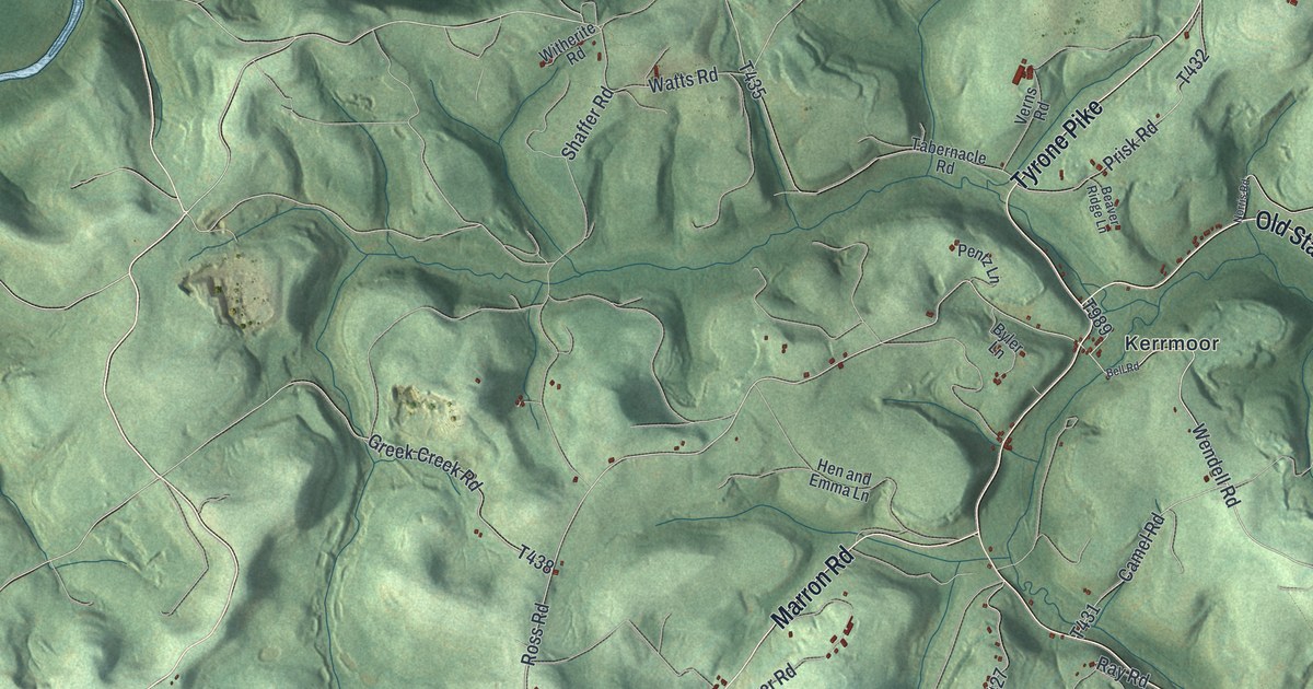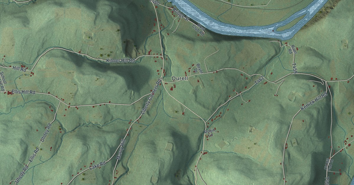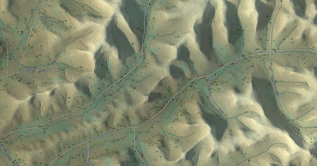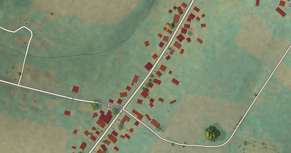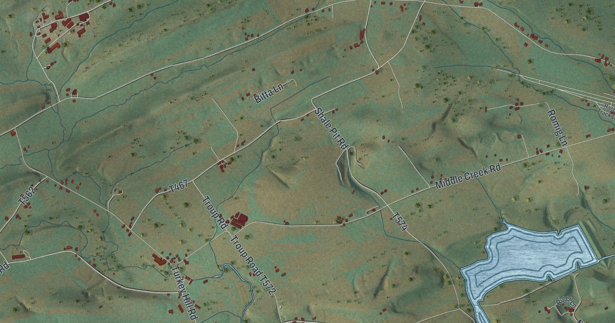
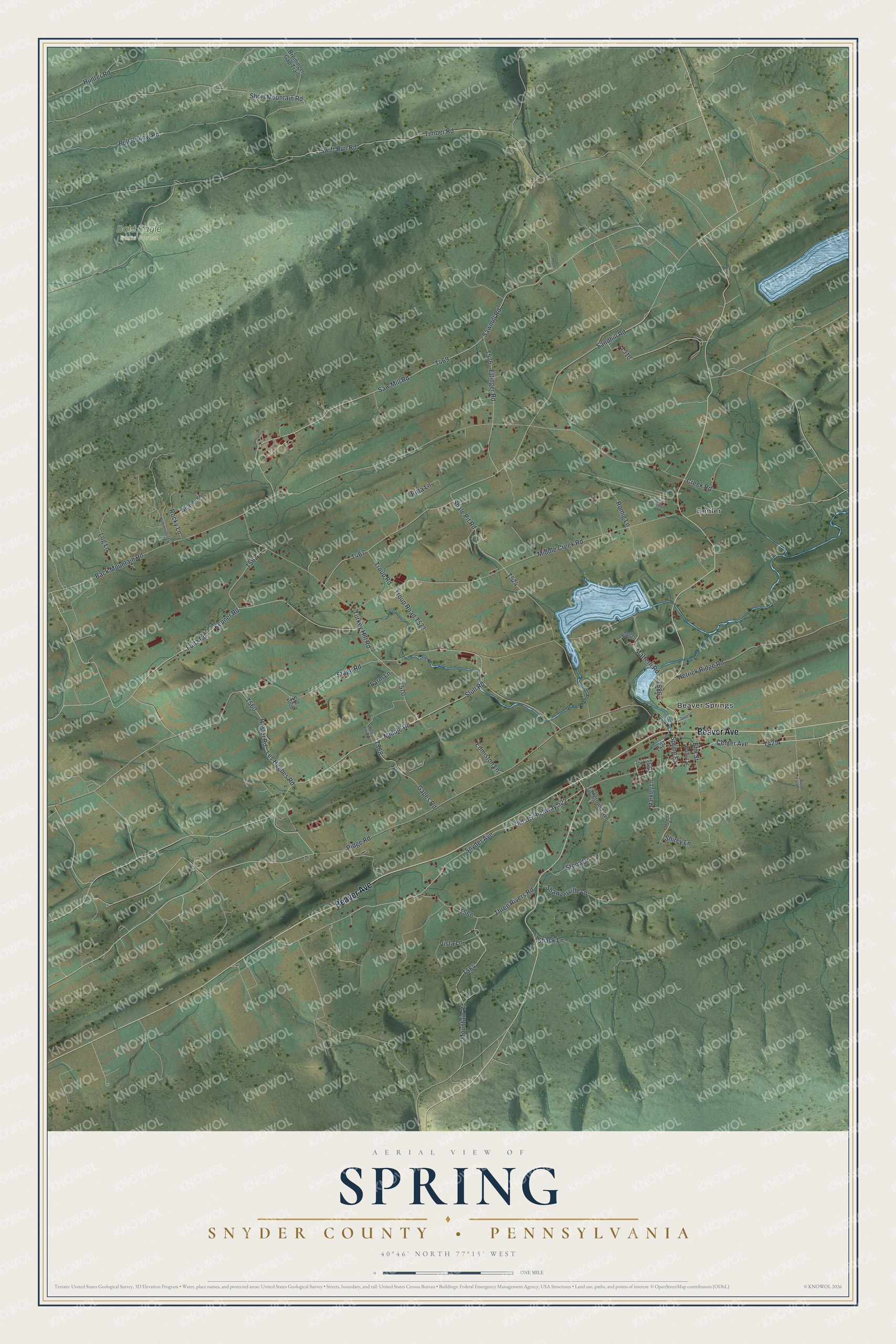
This beautifully detailed map of Spring, Snyder County, Pennsylvania was created in 2026 using aerial imagery combined with modern topographical, census, street and landmark data. It's a modern aerial view of Spring, Snyder County in Snyder County, Pennsylvania, that combines modern data with a vintage aesthetic. The roads feature printed names, and if you look closely you can find your exact house accurately shown in its correct location.
Explore an aerial view of Spring, Snyder County, Pennsylvania
On this map you'll find Bald Eagle State Forest, Beaver Springs, Benfer, Beaver Avenue, Center Avenue, T425, T554, Snyder Avenue, Fultz Road, Les Hughes Road, T570, T469, and more. Each red shape is a building, so zoom in on the preview and look for yours.
Every town has a first chapter, and Spring, Snyder County is no exception. The Snyder County History puts it this way: "Adamsburg has a good school building, also a neat and comfortable depot at the Sunbury and Lewistown Railroad. The firm of Bucher, Rooke & Co. have built a railroad from the Sunbury and Lewistown road to their valuable ore mines, and are thus enabled to load their cars at the mines."
Spring, Snyder County is a place in Snyder County. The Census Bureau counted 1,631 people here in 2020.
Take a closer look at the Spring, Snyder County map
Names on this map
These names are printed on this map.
Places: Bald Eagle State Forest, Beaver Springs and Benfer.
Streets and roads: Beaver Avenue, Center Avenue, Snyder Avenue, Fultz Road, Les Hughes Road, Stage Road, Back Mountain Road, Middle Creek Road, Creek Road, Mountain Road, Turkey Hill Road, Saw Mill Road.
More street names, A to Z
Bitta Lane, Boop Farm Lane, Breininger Gap Trail, Bull Hollow Road, Edmiston Lane, Elm Street, Ettinger Road, Fairground Avenue, Farm Lane, Gapes Road, Heeter Lane, Hetrick Ridge Road, Hosler Road, Hummingbird Lane, Hunter Road, Kepner Road, Lauver Lane, Log Lane, Markley Lane, Markley Road, Mattern Road, Middle Road, Old US Highway 522, Race Track Lane, Ridge Road, Rigel Lane, Rocky Lane, Romig Lane, Sandhill Road, Sawmill Road, Shack Lane, Shale Pit Road, Shawverville Lane, Shirey Lane, Short Mountain Road, Spring Street, Sr2 4008, Stony Drive, Stull Road, Swift Run Road, Three Rivers Road, Timber Road, Troup Road, Valley View Lane, Vista Lane, Walnut Street, Weaver Lane.
Created by KNOWOL in 2026. The buildings are small red shapes, the roads carry their printed names, and shaded relief shows the shape of the land. The title panel reads "AERIAL VIEW OF SPRING SNYDER COUNTY • PENNSYLVANIA" with 4, 0, °, 4, 6, ', , N, O, R, T, H, , 7, 7, °, 1, 5, ', , W, E, S, T.
Hang it in the hallway, the office or the cabin, or give it to someone who left Spring, Snyder County and still calls it home. Open the preview and look for a street you know. See sizes and frames for the Spring, Snyder County map.