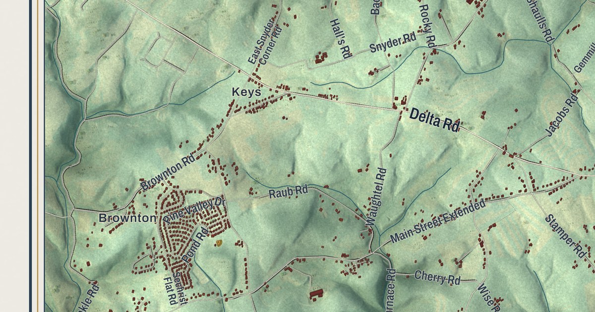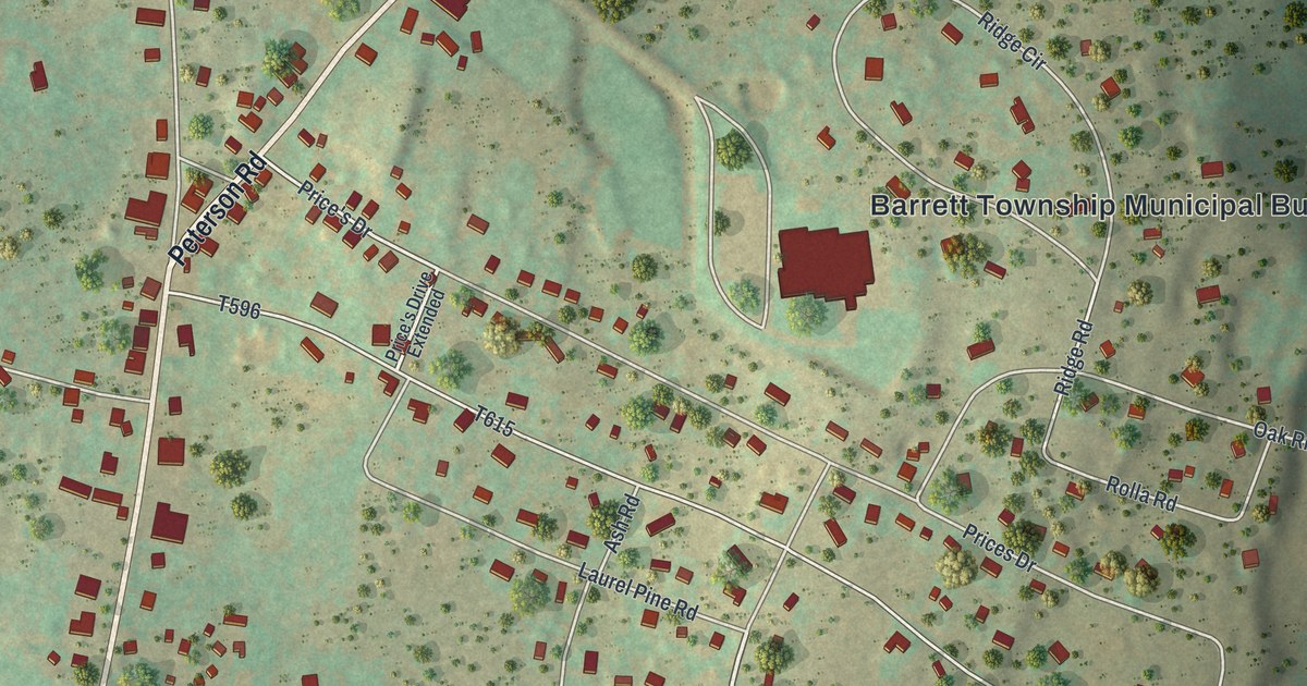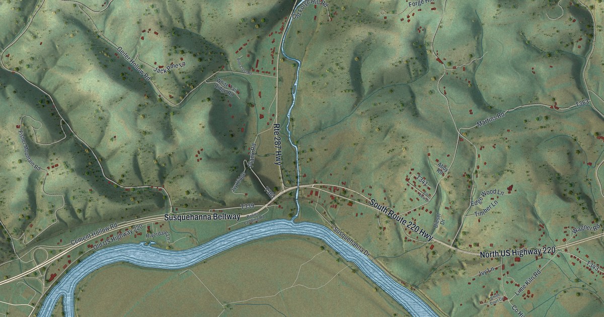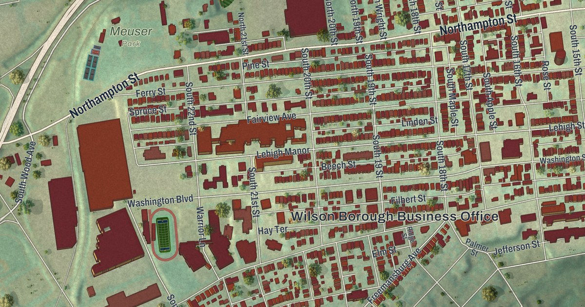
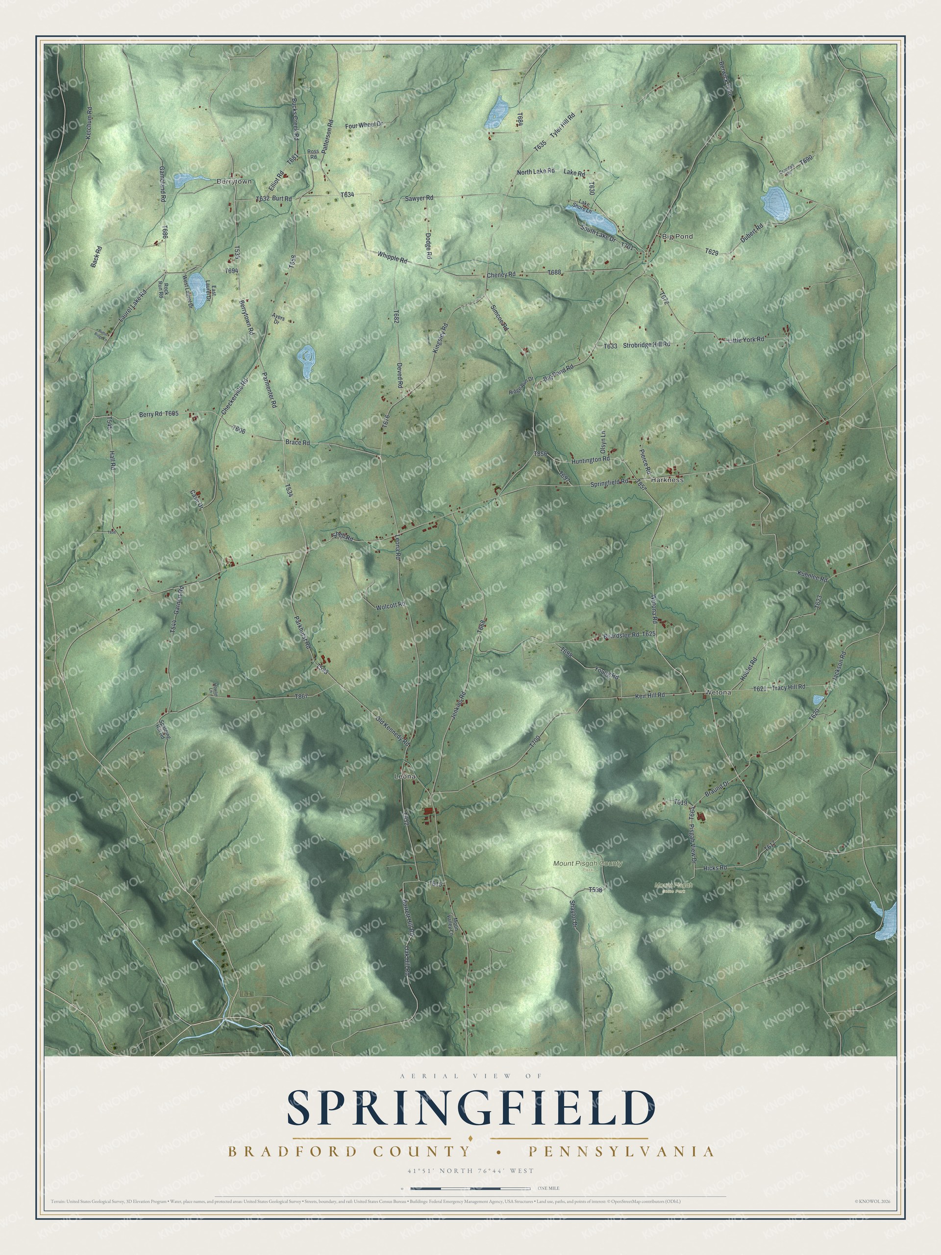
This beautifully detailed map of Springfield, Bradford County, Pennsylvania was created in 2026 using aerial imagery combined with modern topographical, census, street and landmark data. It’s a one-of-a-kind view of Springfield that combines accurate data with a vintage aesthetic. The map shows every building in its true location, many of the roads carry their names, and the shaded topographic relief shows the shape of the land.
Explore an aerial view of Springfield, Bradford County, Pennsylvania
On the map you’ll find Berrytown, Big Pond, Wetona, Leona, Harkness, Mount Pisgah State Park, and Mount Pisgah County Park, along with Wetona Road, Berrytown Road, Parmenter Road, and more. If you look closely you can even find your house accurately drawn in its correct location. Zoom in on the preview to look for yours.
Did you know this piece of Springfield, Bradford County, Pennsylvania history?
From the Bradford Reporter: "The township now known as Springfield was originally called Murraysfield, after an early settler of that name, who occupied a prominent position among the few who were then inhabitants of the wilderness. He was a Universalist minister and among the first whose deaths saddened the hearts of the people of the new settlement."
Take a closer look at the Springfield, Bradford County map
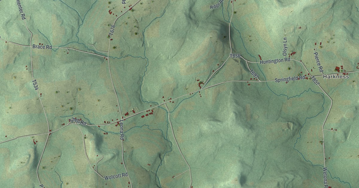
Street and place names on the Springfield, Bradford County, Pennsylvania map
These names are printed on the map of Springfield, Bradford County, Pennsylvania.
Places: Berrytown, Big Pond, Wetona, Leona, Harkness, Mount Pisgah State Park and Mount Pisgah County Park.
Streets and roads: Wetona Road, Berrytown Road, Parmenter Road, Huntington Road, Oak Hill Road, Berry Road, Brace Road, Simcoe Road, North Lake Road, Bucks Creek Road, Tyler Hill Road, Whipple Road.
More street names, A to Z
Ayers Drive, Back Road, Barrett Hill Road, Beardslee Road, Berwick Turnpike, Big Pond Road, Braund Drive, Burt Road, Butter Ridge Lane, Case Drive, Checkerville Road, Cheney Road, Crandall Road, Deved Road, Dodge Road, Dubert Road, East Laurel Drive, Elliot Road, Four Wheel Drive, Gameland Road, Garnert Road, Hall Road, Hicks Road, Hoblet Road, Howlin Lane, Jackson Road, Jenkins Road, Keir Hill Road, Ketchum Road, Kingsley Road, Kuhnlee Road, Lake Road, Lake Shore Lane, Laurel Lake Road, Leona Road, Little York Road, Moon Valley Lane, Old Kennedy Road, Olsyn Lane, Parkhurst Road, Patterson Road, Pierce Road, Pisgah View Drive, Ridge Run Drive, Rock Run Road, Ross Road, Sawyer Road, Shaylor Drive, Shell Road, South Lake Drive, Spalding Hill Road, Springfield Road, Strobridge Hill Road, Tracy Hill Road, West Laurel Drive, Wolcott Road, Young Road.
See the Springfield, Bradford County, Pennsylvania map on a wall
The Springfield, Bradford County map as an 18 x 24 inch print in a black frame.

This beautifully detailed map of Springfield, Bradford County makes an attractive addition to your office, library, or den, and it can even be used to teach children the geography and history of the area. It also makes a great gift for anyone with Springfield roots. When you’re done exploring, click here to get your copy of the Springfield, Bradford County map.