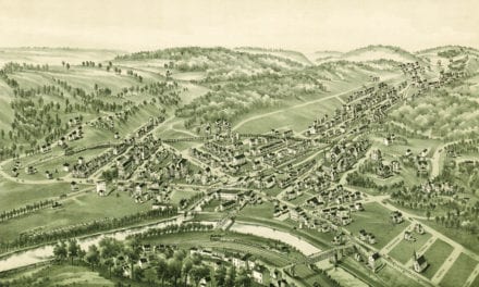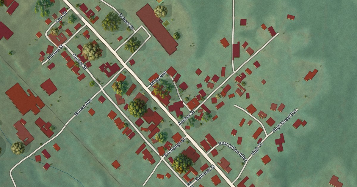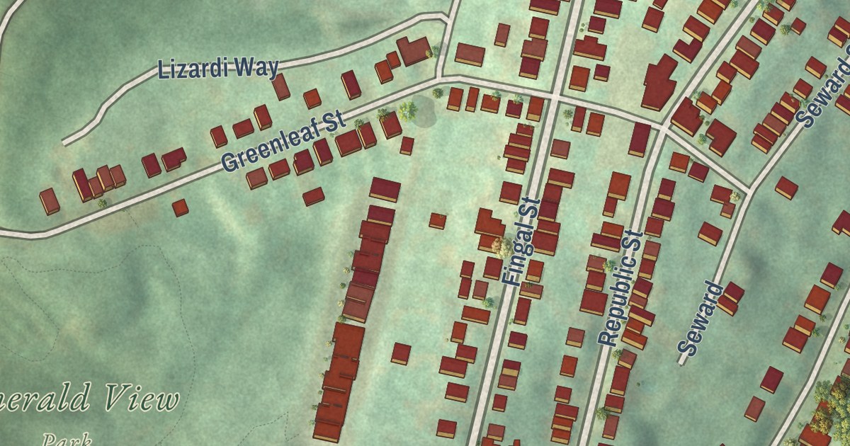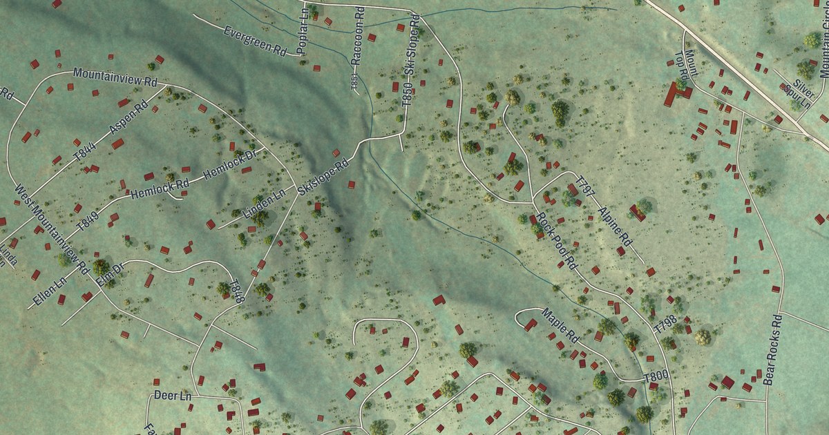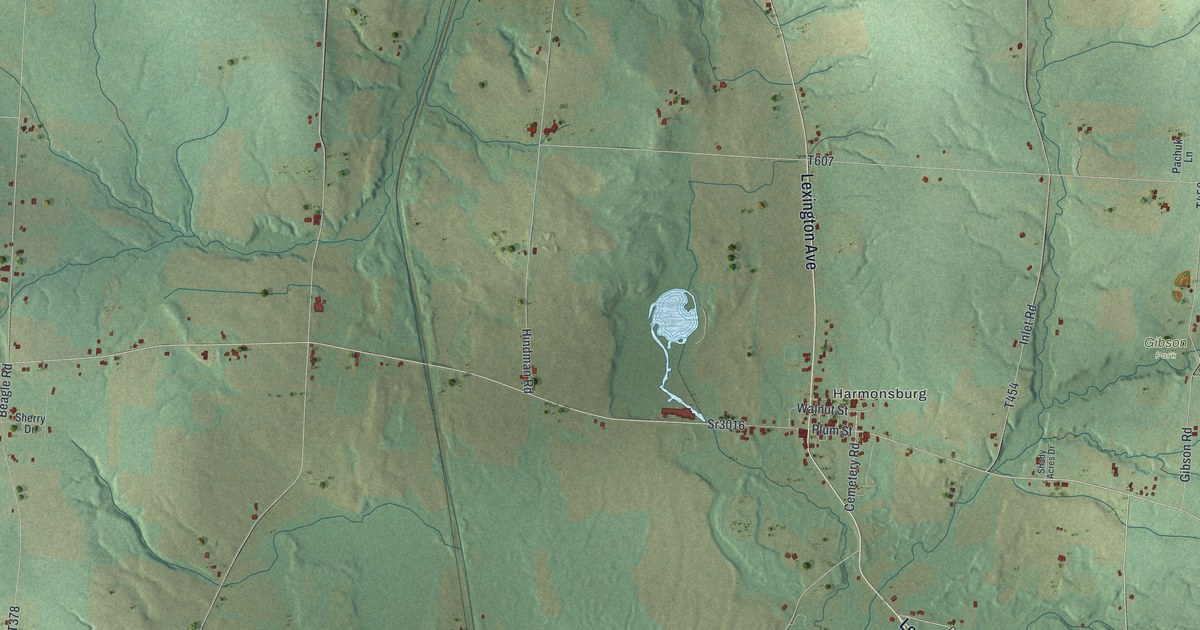
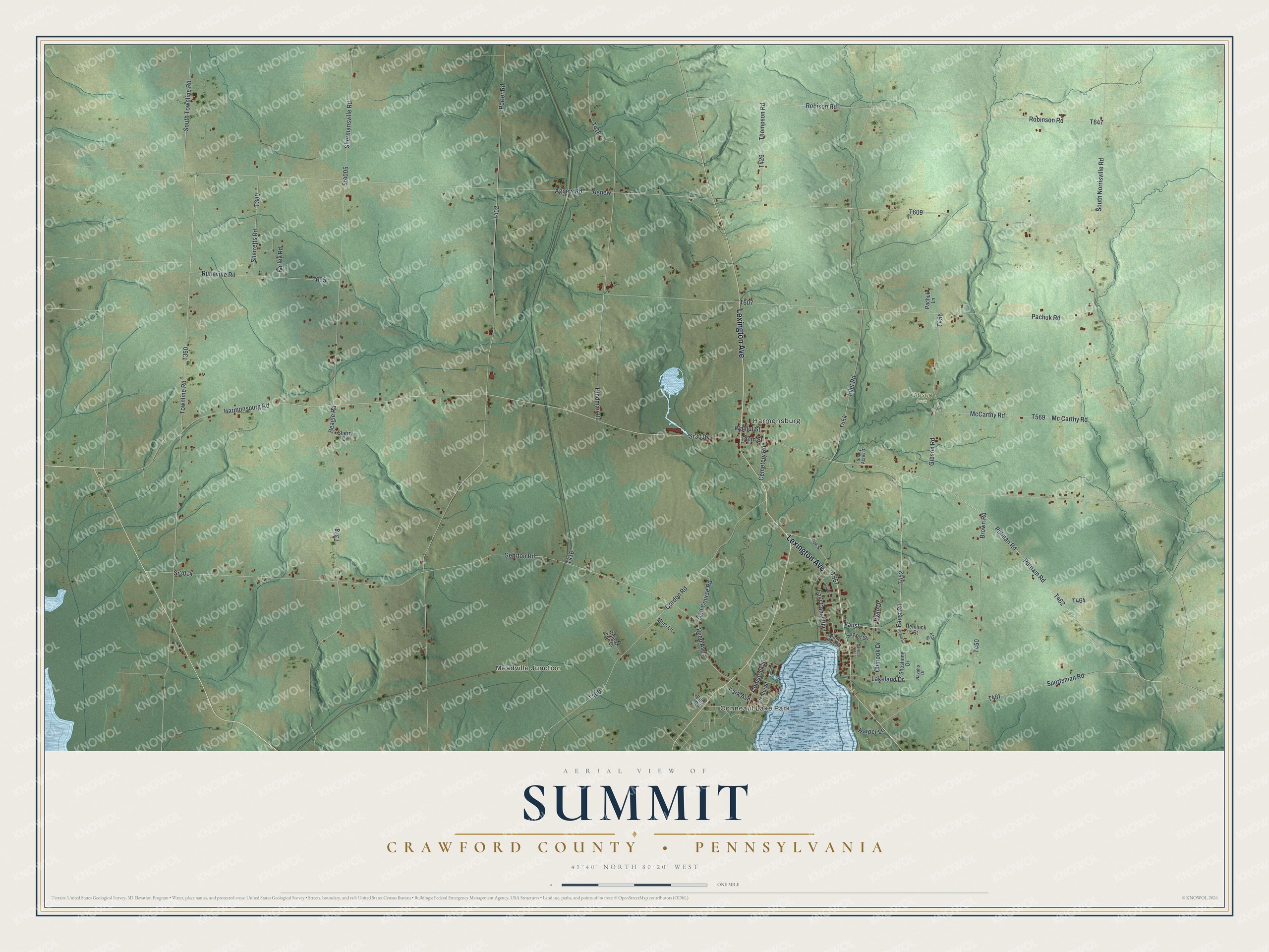
This beautifully detailed map of Summit, Crawford County, Pennsylvania was created in 2026 using aerial imagery combined with modern topographical, census, street and landmark data. It’s a one-of-a-kind view of Summit that combines accurate data with a vintage aesthetic. The map shows every building in its true location, many of the roads carry their names, and the shaded topographic relief shows the shape of the land.
Explore an aerial view of Summit, Crawford County, Pennsylvania
On the map you’ll find Conneaut Lake Park, Meadville Junction, Harmonsburg, Gibson Park, and Faust, along with Lexington Avenue, Putman Road, Faust Road, Harmonsburg Road, Putnam Road, and more. If you look closely you can even find your house accurately drawn in its correct location. Zoom in on the preview to look for yours.
Did you know this piece of Summit, Crawford County, Pennsylvania history?
From the 1885 History of Crawford County, Pennsylvania : "Joseph Brown, retired farmer, and President of the Farmers’ Mutual Insurance Company, of Woodcock, P. O. Conneautville, was born in Summit Township, this county, April 15, 1824; son of John and Hannah (Gehr) Brown natives of Berks County, Penn., the former of whom, a tanner by trade, came to Crawford County in 1803, settled on a farm of 100 acres and built the tannery which he conducted forty-five years."
Take a closer look at the Summit, Crawford County map
Street and place names on the Summit, Crawford County, Pennsylvania map
These names are printed on the map of Summit, Crawford County, Pennsylvania.
Places: Conneaut Lake Park, Meadville Junction, Harmonsburg and Gibson Park.
Streets and roads: Lexington Avenue, Putman Road, Faust Road, Harmonsburg Road, Faust, Putnam Road, Agnew Road, Sr3016, Robinson Road, South Townline Road, Porter Road, Sr3014.
More street names, A to Z
Agnew, Arbor Street, Bay Drive, Beagle Road, Brown Road, Bruce Drive, Cemetery Road, Center Street, Chinook Drive, Comstock Street, East Canal Boulevard, Ellis Road, Elm Street, Farley Road, Gehrton Road, Gibson Road, Golf Course Road, Gordon Road, Harper Lane, Hemlock Street, Hindman Road, Inlet Road, Lakeland Drive, Mc Carthy Road, McCarthy Road, Moro Lane, Navaho Drive, North Shore Drive, Oak Street, Pachuk Lane, Pachuk Road, Park Avenue, Plum Street, Reed Avenue, Rising Sun Drive, Robison Road, Ruheville Road, Ryan Drive, Shady Acres Drive, Shermansville Road, Sherretts Road, Sherry Drive, Shoshone Drive, South Norrisville Road, Sportsman Road, Sr4005, Sunset Street, Thompson Road, Townline Road, Walnut Street.
See the Summit, Crawford County, Pennsylvania map on a wall
The Summit, Crawford County map as an 18 x 24 inch print in a black frame.

This beautifully detailed map of Summit, Crawford County makes an attractive addition to your office, library, or den, and it can even be used to teach children the geography and history of the area. It also makes a great gift for anyone who grew up in Summit or moved away. When you’re done exploring, click here to get your copy of the Summit, Crawford County map.