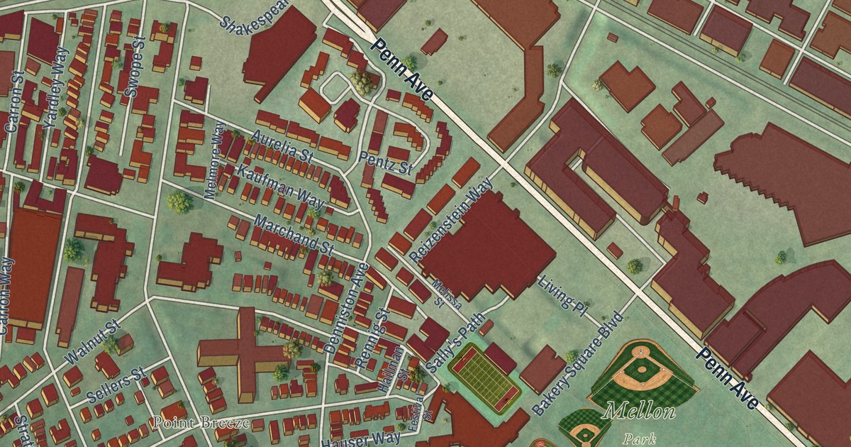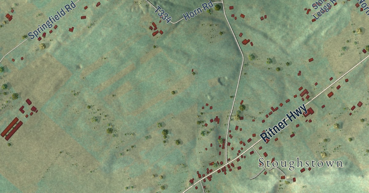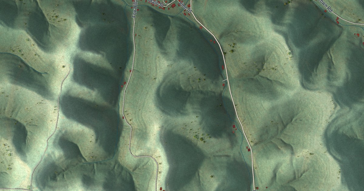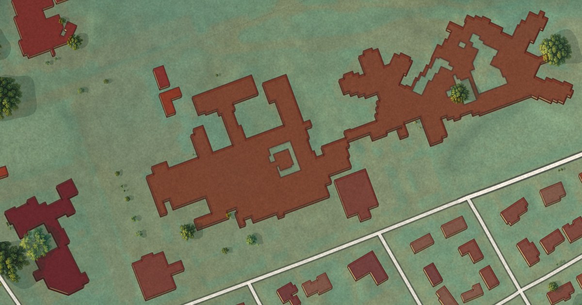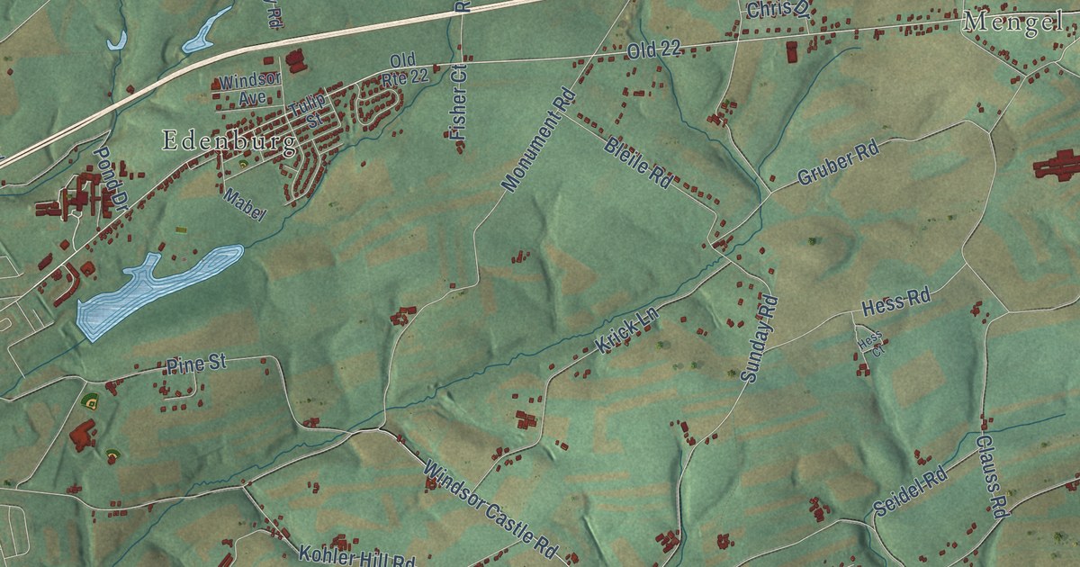
This beautifully detailed map of Windsor, Berks County, Pennsylvania was created in 2026 using aerial imagery combined with modern topographical, census, street and landmark data. It’s a one-of-a-kind view of Windsor that combines accurate data with a vintage aesthetic. The map shows every building in its true location, many of the roads carry their names, and the shaded topographic relief shows the shape of the land.
Explore an aerial view of Windsor, Berks County, Pennsylvania
On the map you’ll find Windsor Castle, Mengel, Kaercher Creek Park, Edenburg, and Old 22, along with Pottsville Pike, Mountain Road, Windsor Castle Road, Sunday Road, Balthaser Road, Schappell Road, Clauss Road, and more. If you look closely you can even find your house accurately drawn in its correct location. Zoom in on the preview to look for yours.
Did you know this piece of Windsor, Berks County, Pennsylvania history?
From the 1886 History of Berks county in Pennsylvania: "Charles Shoemaker was born at Germantown in 1757, and was about eight years of age when his father settled in Windsor township, Berks County. He was an associate judge of the county from 1820 to 1822, dying whilst filling this position, November, 1822."
Take a closer look at the Windsor, Berks County map
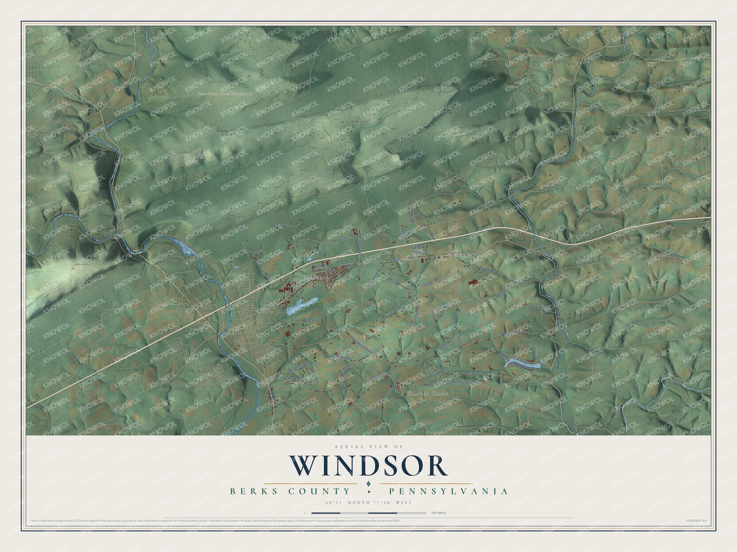
Street and place names on the Windsor, Berks County, Pennsylvania map
These names are printed on the map of Windsor, Berks County, Pennsylvania.
Places: Windsor Castle, Mengel, State Game Lands Number 106 and Edenburg.
Streets and roads: Old 22, Windsor Castle Road, Mountain Road, Sunday Road, Balthaser Road, Schappell Road, Clauss Road, Monument Road, Strausser Road, Reservoir Road, Witchcraft Road, Krick Lane.
More street names, A to Z
Bear Road, Beechwood Drive, Bleile Road, Blue Rocks Road, Chris Drive, Christman Road, Constitution Drive, Creek Lane, Donne Road, Fisher Court, Focht Lane, Forrest Court, Gruber Road, Haas Road, Hein Road, Hepner Road, Hess Court, Hess Road, Kohler Hill Road, Log Cabin Lane, Mabel, North Shore Drive, Old Route 22, Oval Drive, Pine Street, Pond Drive, Port Clinton Avenue, Pottsville Pike, Reidenhour Road, Ridge Lane, Seidel Road, Shaffer Lane, South Shore Drive, Steven Drive, Stewart Lane, Tulip Street, Upland Court, Valley Road, Windsor Avenue, Woodland Road, Yeager Road, Zion Church Road.
See the Windsor, Berks County, Pennsylvania map on a wall
The Windsor, Berks County map as an 18 x 24 inch print in a black frame.

This beautifully detailed map of Windsor, Berks County makes an attractive addition to your office, library, or den, and it can even be used to teach children the geography and history of the area. It also makes a great gift for anyone with Windsor roots. When you’re done exploring, click here to get your copy of the Windsor, Berks County map.