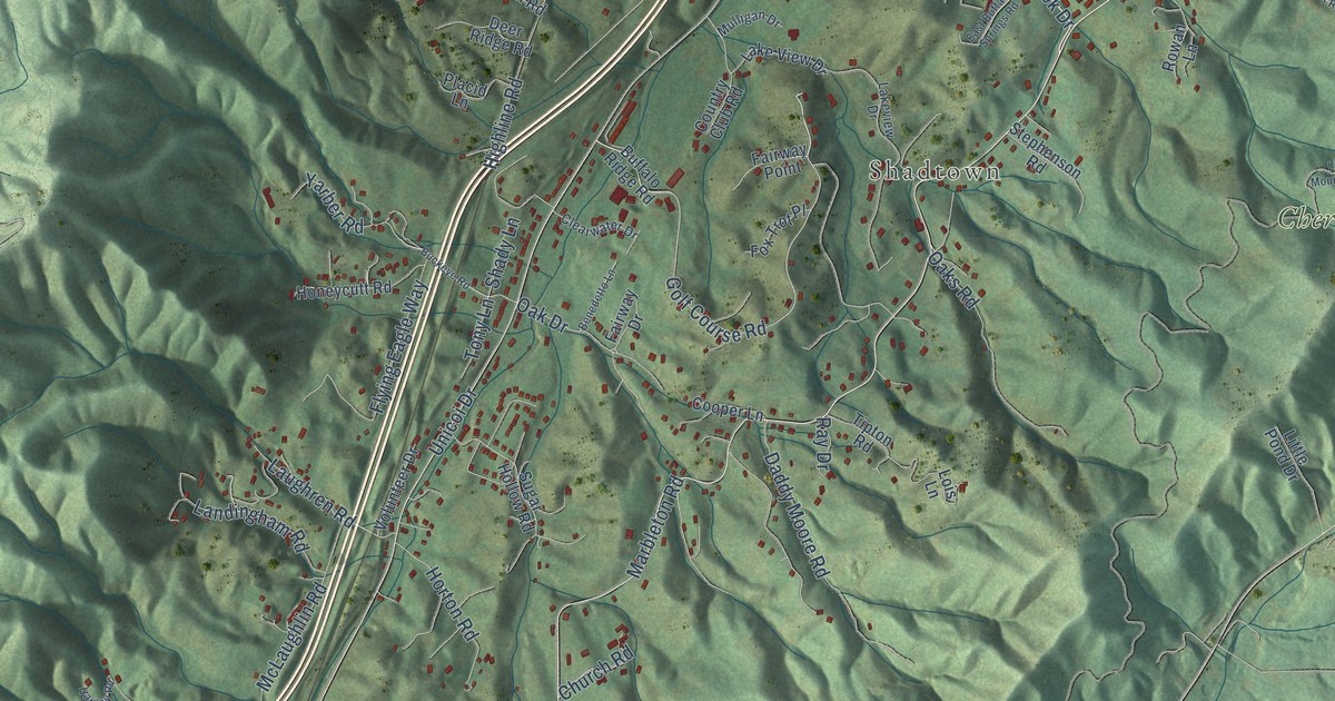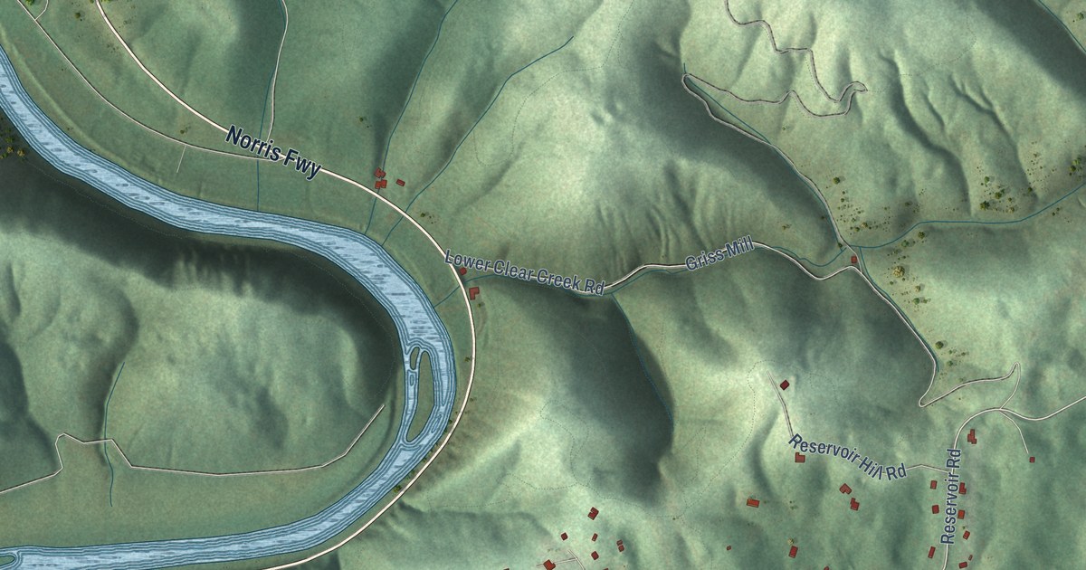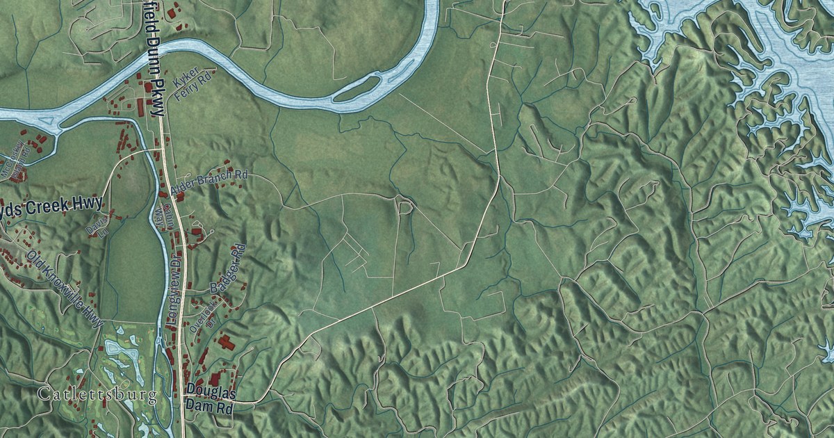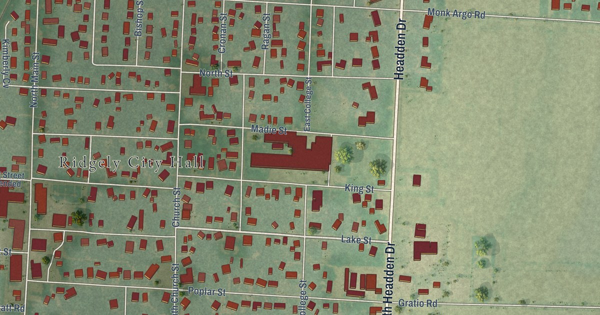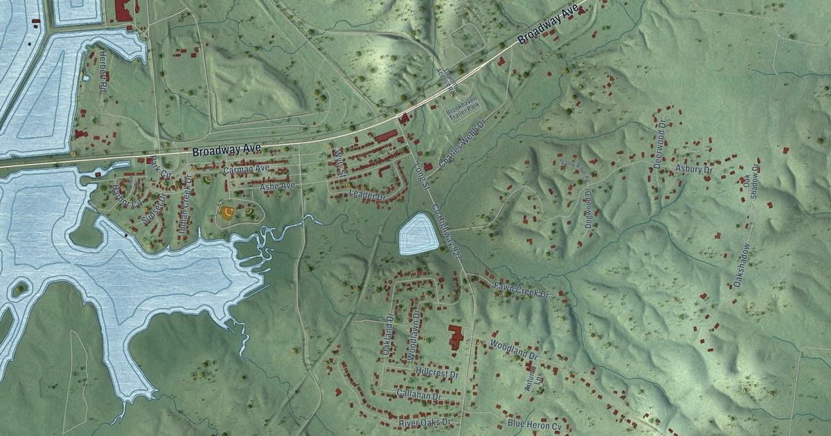
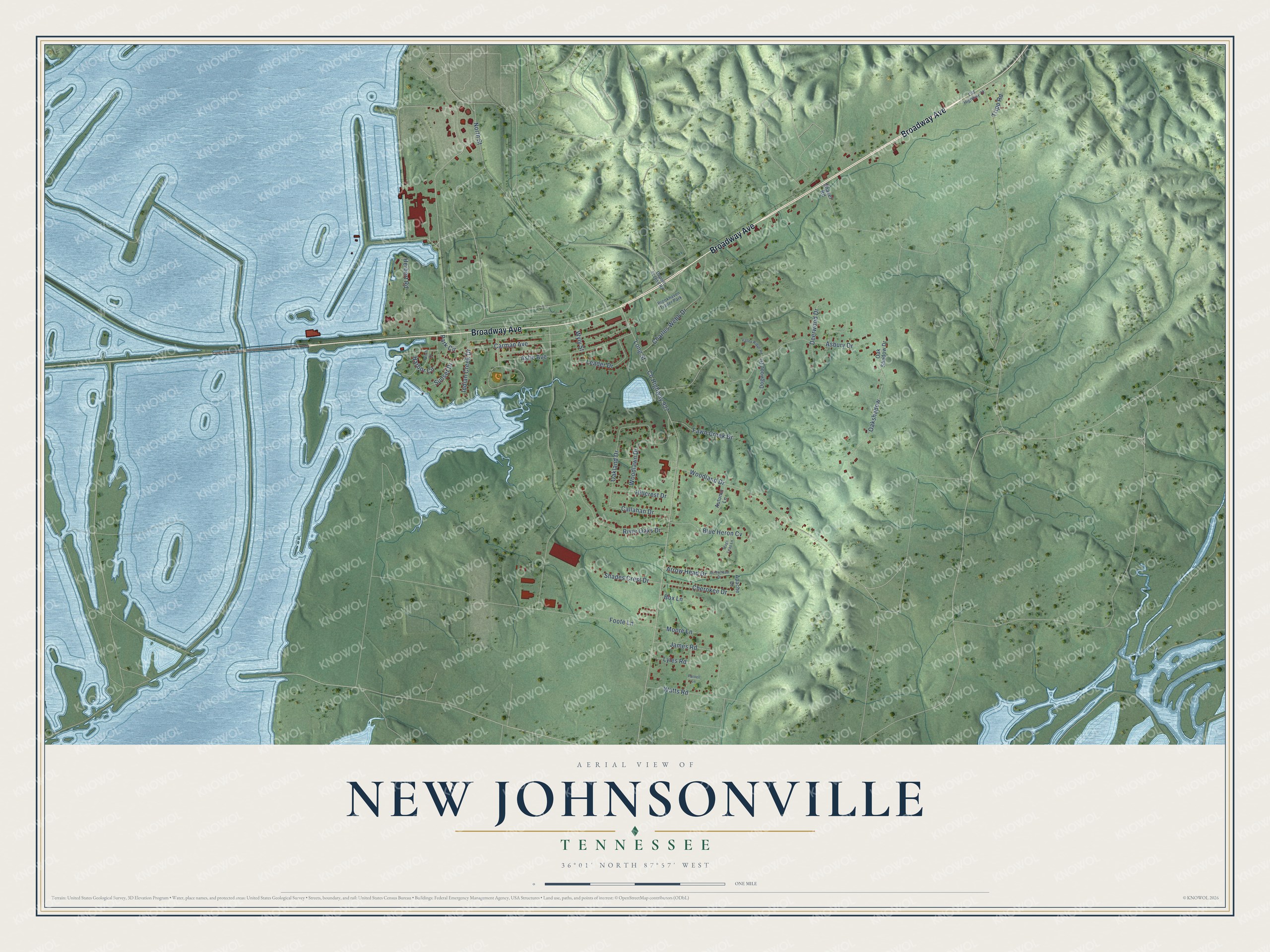
This beautifully detailed map of New Johnsonville, Tennessee was created in 2026 using aerial imagery combined with modern topographical, census, street and landmark data. It's a modern aerial view of New Johnsonville in Humphreys County, Tennessee, that combines modern data with a vintage aesthetic. The roads feature printed names, and if you look closely you can find your exact house accurately shown in its correct location.
Explore an aerial view of New Johnsonville, Tennessee
On this map you'll find Broadway Avenue, North Street, Woodland Drive, Cherokee Drive, Harbor Circle, Co Highway 927, Long Street, Asbury Drive, Carman Avenue, Ashe Avenue, Foote Lane, Charles Webb Drive, and more. Each red shape is a building, so zoom in on the preview and look for yours.
Here is a piece of New Johnsonville history, in the words of the record. The record at tennesseeencyclopedia.net puts it this way: "By the early 1950s the recently created river town of New Johnsonville claimed the TVA's first steam power plant, a large chemical plant, a manganese factory, and an aluminum reduction plant."
New Johnsonville is a city in Humphreys County. The Census Bureau counted 1,804 people here in 2020.
Take a closer look at the New Johnsonville map
Names on this map
These names are printed on this map.
Places: Brookhaven Trailer Park.
Streets and roads: Broadway Avenue, North Street, Woodland Drive, Cherokee Drive, Harbor Circle, County Highway 927, Long Street, Asbury Drive, Carman Avenue, Ashe Avenue, Foote Lane, Charles Webb Drive.
More street names, A to Z
Apache Drive, Arrow Head Drive, Arrowhead Drive, Autumn Lane, Blue Heron Cv, Box Lane, Callahan Drive, Deerwood Drive, Dogwood Drive, Dupont Access Road, Fawn Creek Drive, Herbert Road, Hillcrest Drive, Indian Creek Drive, James Road, Leader Drive, Lyles Road, Moore Lane, Oakland Drive, Oakshadow, Oak Shadow Drive, Old Highway 70, Park Circle, Parnell Lane, Perch Drive, River Oaks Drive, Shades Crest Drive, Shaver Road, Stags Leap Lane, Sunset Drive, Tripp Road, Valley Ridge Road, Watts Road, Woodlawn Drive, Wyly Street.
Created by KNOWOL in 2026. The buildings are small red shapes, the roads carry their printed names, and shaded relief shows the shape of the land. The title panel reads "AERIAL VIEW OF NEW JOHNSONVILLE TENNESSEE" with 36°01' NORTH 87°57' WEST.
It suits a den, a classroom or a front hall, and it makes a gift for anyone with New Johnsonville roots. Open the preview and find the block you know. See sizes and frames for the New Johnsonville map.