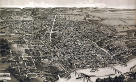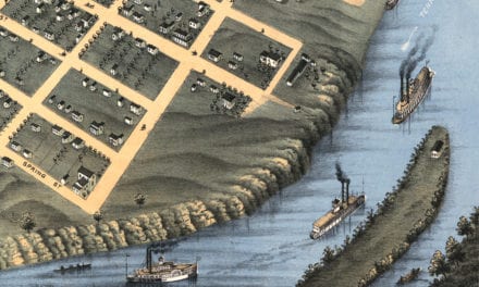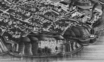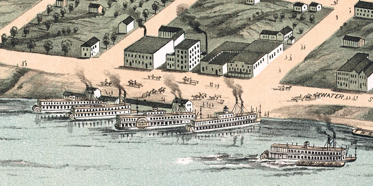
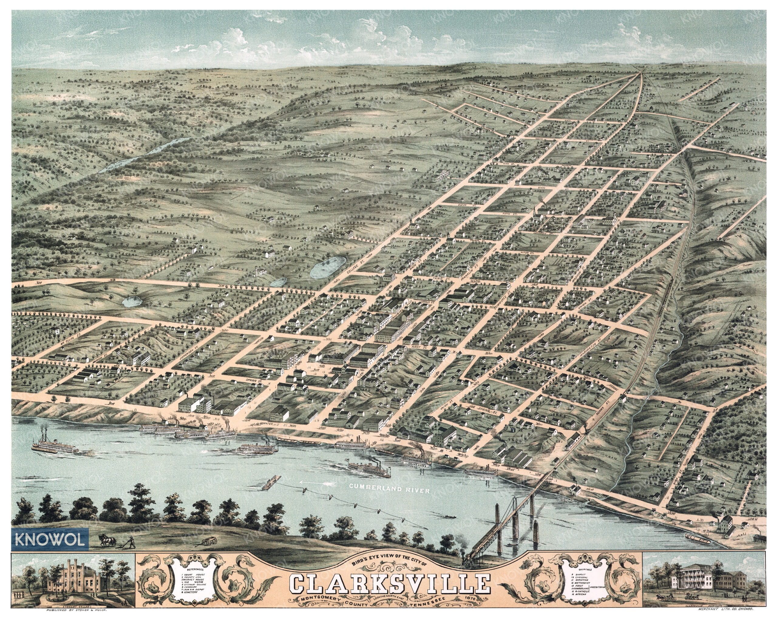
This historic map of Clarksville, Tennessee was created in 1870 by Stoner and Ruger, a team of prominent map makers. The map shows a bird’s eye view of the city as it used to look, including street names and old landmarks.
Landmarks on the map include Market House, Clarksville County Jail, Gas Works, Stewart College, Seminary, L&N Railroad Depot, Cumberland River, a variety of churches, and more.
This historic map of Clarksville has been restored by KNOWOL. Reproductions of the restored map are available here.
Historic Old Map of Clarksville, Tennessee from 1870
This vintage map of Clarksville makes an attractive addition to your office, library, or den, and can even be used to teach children the geography and history of the area. When you’re done exploring, click here to get your copy of the restored map.