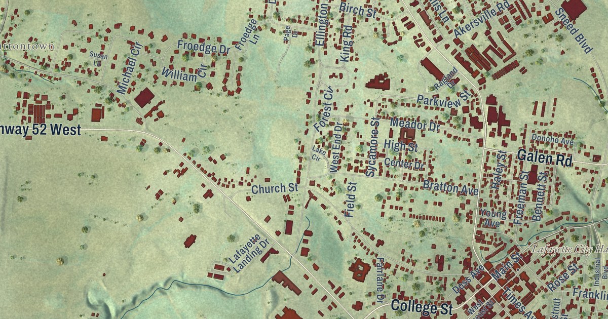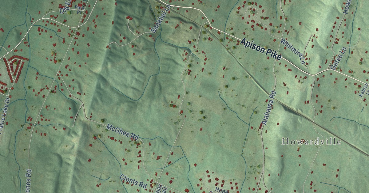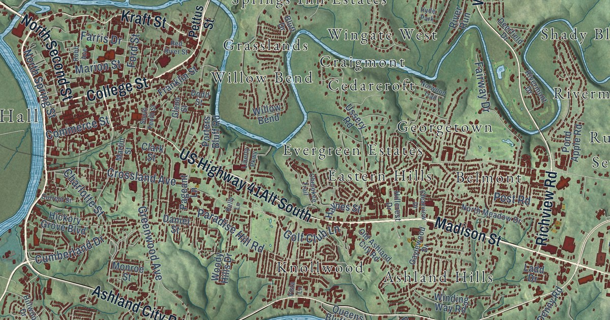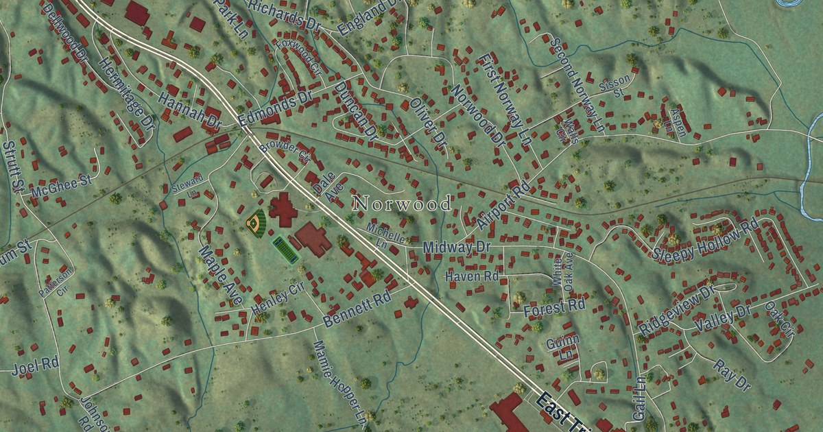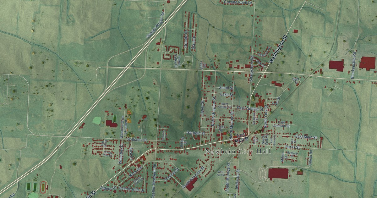
This beautifully detailed map of Newbern, Tennessee was created in 2026 using aerial imagery combined with modern topographical, census, street and landmark data. It’s a one-of-a-kind view of Newbern that combines accurate data with a vintage aesthetic. The map shows every building in its true location, many of the roads carry their names, and the shaded topographic relief shows the shape of the land.
Explore an aerial view of Newbern, Tennessee
On the map you’ll find Newbern City Hall and Potatoe, along with West Main Street, Washington Street, East Main Street, Williams Street, Roellen Newbern Road, Crowne Point Drive, Biffle Road, Church Grove Road, Sharpsferry Road, South Grayson Street, and more. If you look closely you can even find your house accurately drawn in its correct location. Zoom in on the preview to look for yours.
Did you know this piece of Newbern, Tennessee history?
From the Dyer County | Tennessee Encyclopedia: "The Illinois Central expanded its facilities throughout the county, building in 1920 a new combination depot at the town of Newbern, a major cotton and livestock shipping point."
Take a closer look at the Newbern map
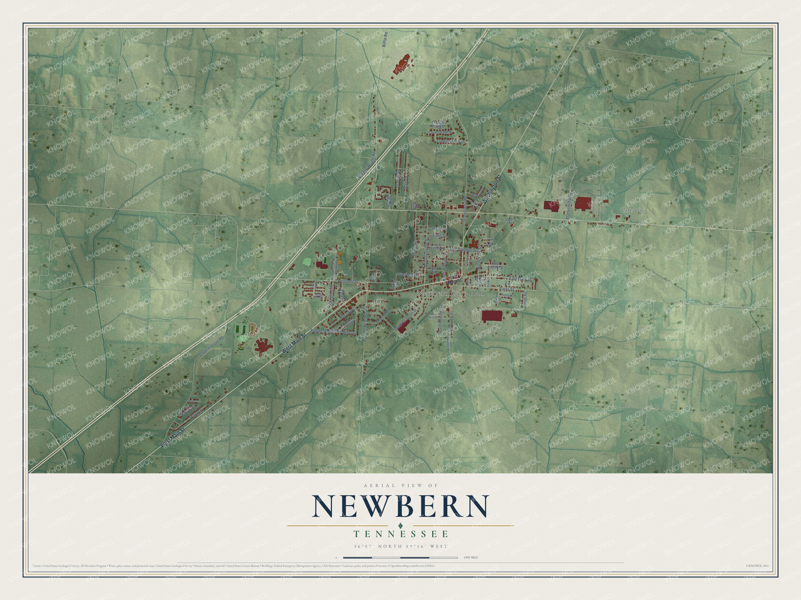
Street and place names on the Newbern, Tennessee map
These names are printed on the map of Newbern, Tennessee.
Places: Newbern City Hall and Potatoe.
Streets and roads: West Main Street, Washington Street, East Main Street, Williams Street, Roellen Newbern Road, Crowne Point Drive, Biffle Road, Church Grove Road, Sharpsferry Road, South Grayson Street, Nora Avenue, Jones Street.
More street names, A to Z
Adams Street, Blankenship Road, Clearview Drive, Crowne Heights Drive, Crown Ridge Drive, Dyer Street, East College Street, East Drive, East Johnson Street, Fabrite Road, Flower Valley Drive, Fryer Street, Garfield Street, George Wright Road, Granite Drive, Hall Street, Hollow Creek Drive, Jefferson Street, Jones Road, Lake Street, McManis Avenue, Milner Street, North Grayson Street, North Monroe Street, North York Street, Oak Street, Old Newbern Road, Parks Street, Patty Drive, Paula Drive, Pine Hill Drive, Radford Street, Ridens Drive, Scenic Hills Drive, Shibley Street, Slate Drive, Smith Street, South Monroe Street, South Quincy Street, South York Street, Sycamore Street, Taylor Lane, Thomas Street, Torrey Pine Cv, Tyler Street, West Avon Street, West College Street, Wheatley Drive, Wheatley Drive Extended.
See the Newbern, Tennessee map on a wall
The Newbern map as an 18 x 24 inch print in a black frame.

This beautifully detailed map of Newbern makes an attractive addition to your office, library, or den, and it can even be used to teach children the geography and history of the area. It also makes a great gift for anyone who grew up in Newbern or moved away. When you’re done exploring, click here to get your copy of the Newbern map.