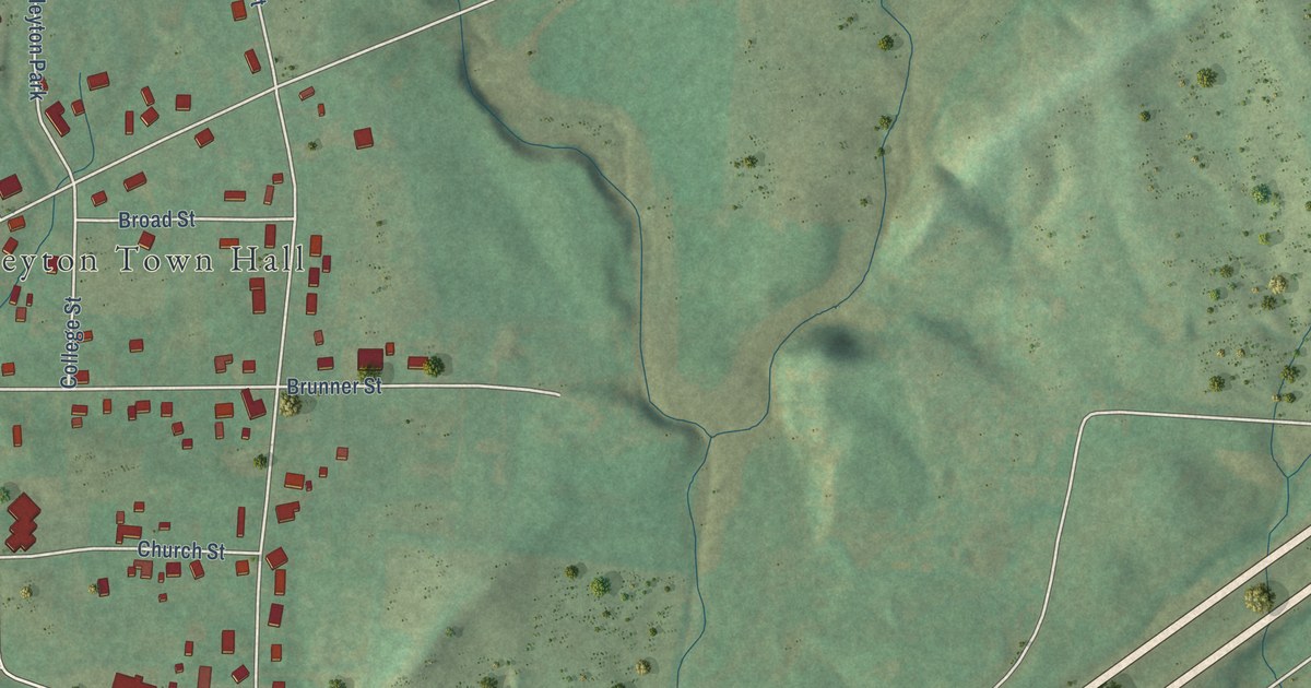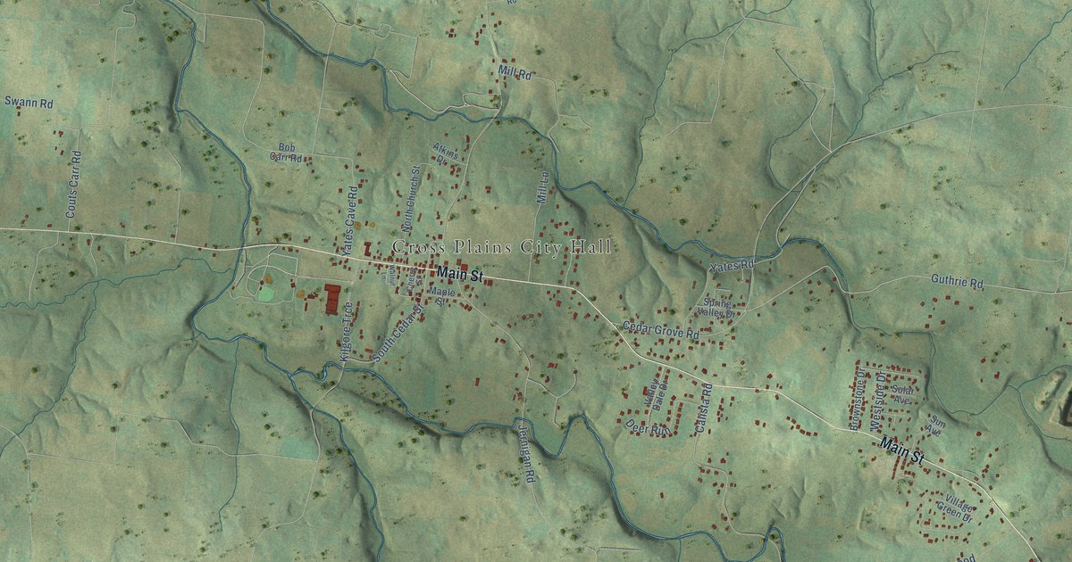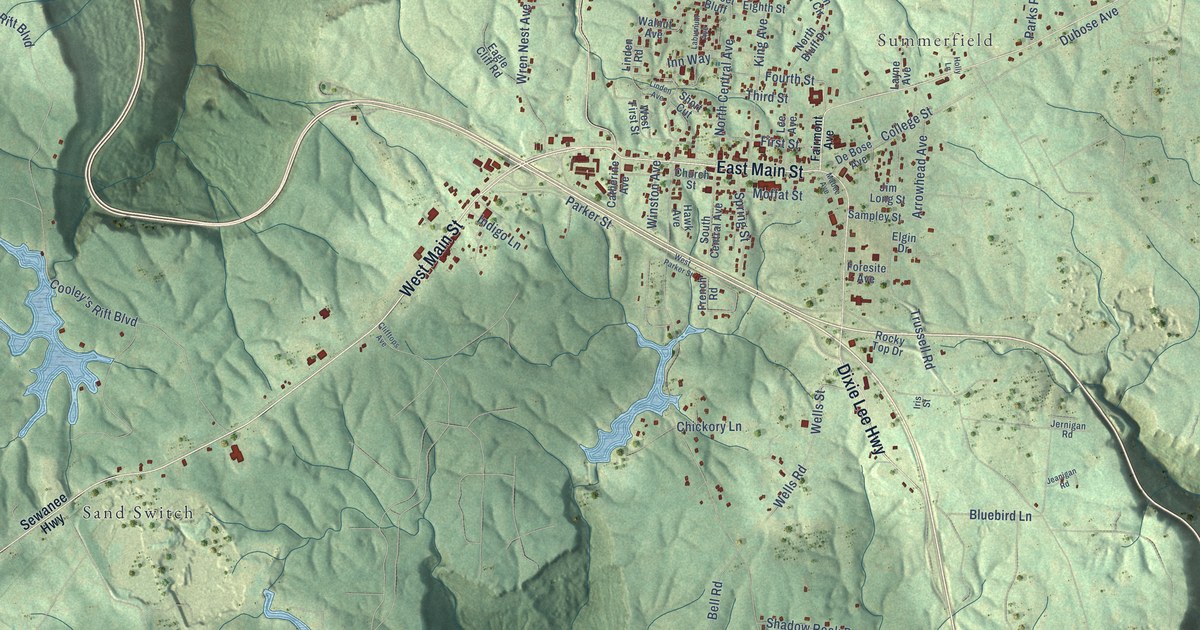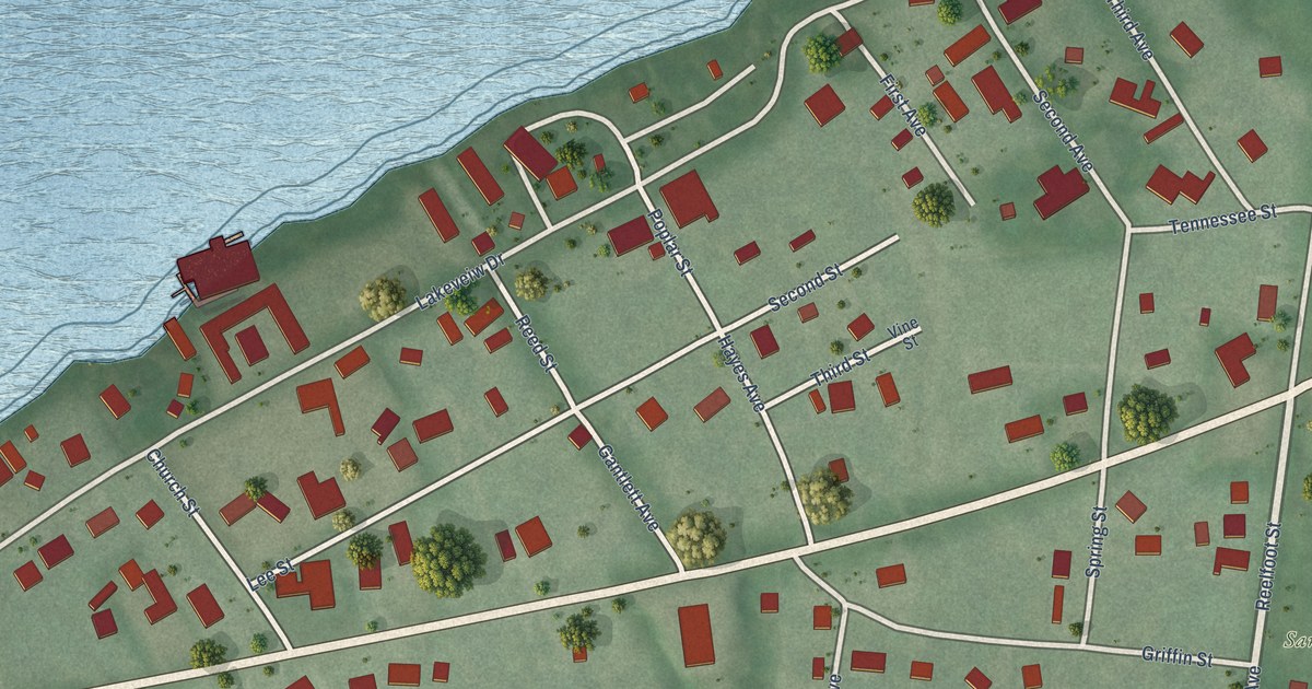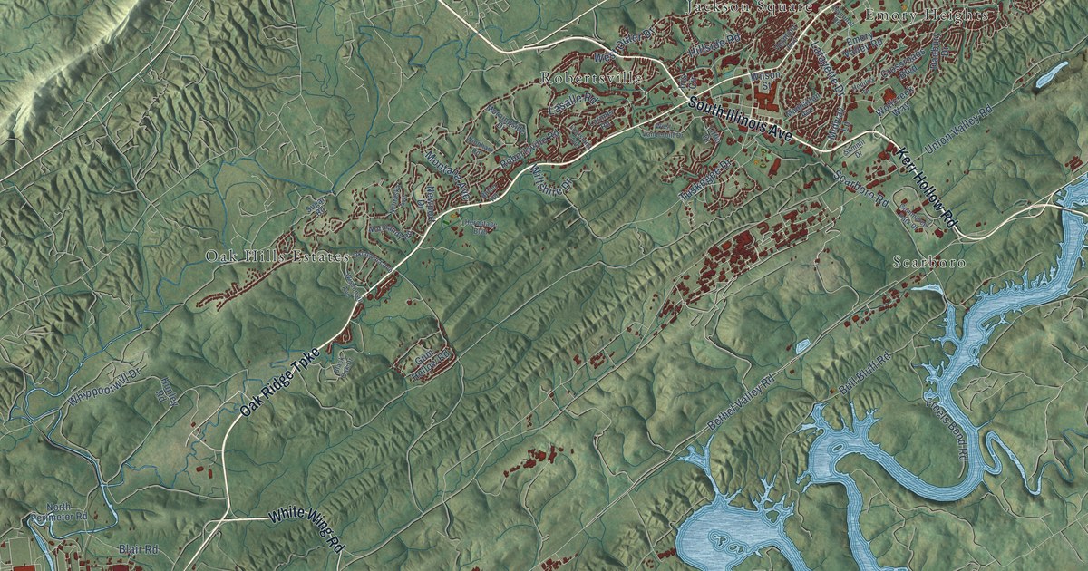
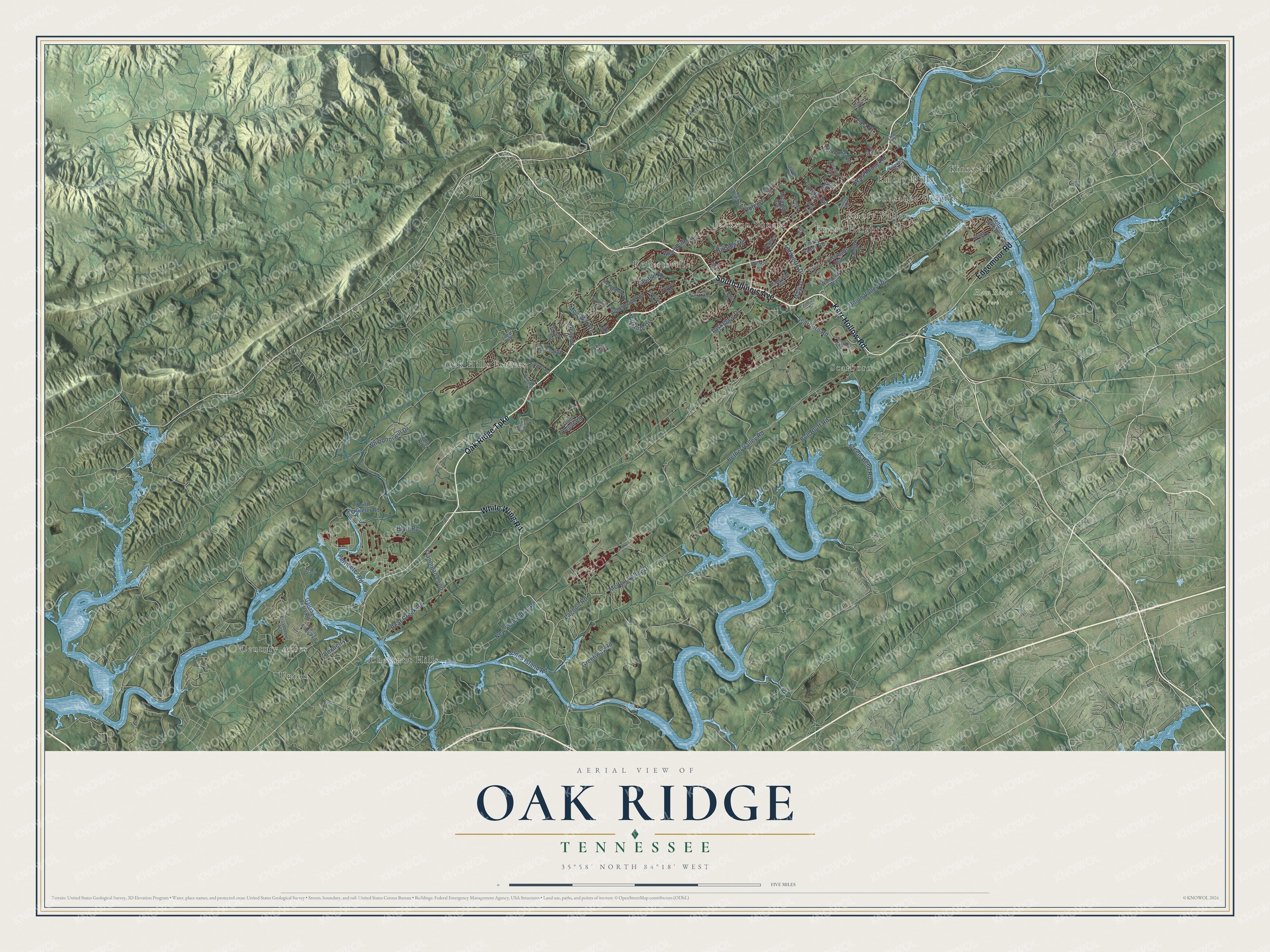
This beautifully detailed map of Oak Ridge, Tennessee was created in 2026 using aerial imagery combined with modern topographical, census, street and landmark data. It's a modern aerial view of Oak Ridge in Anderson County, Tennessee, that combines modern data with a vintage aesthetic. The roads feature printed names, and if you look closely you can find your exact house accurately shown in its correct location.
Explore an aerial view of Oak Ridge, Tennessee
On this map you'll find Haw Ridge Park, Century Acres, Chestnut Hills, Conasauga Heights, Emory Heights, Emory Hills, Emory Valley, Jackson Square, Kirkstall, Oak Hills Estates, Robertsville, Scarboro, and more. Each red shape is a building, so zoom in on the preview and look for yours.
Here is a piece of Oak Ridge history, in the words of the record. The record at tennesseeencyclopedia.net puts it this way: "However, the practice of segregation met some local resistance, and in 1955 Oak Ridge became one of the first cities in the South to mandate desegregation of its public schools."
Oak Ridge is a city in Anderson County. The Census Bureau counted 31,402 people here in 2020.
Take a closer look at the Oak Ridge map
Names on this map
These names are printed on this map.
Places: Haw Ridge Park, Century Acres, Chestnut Hills, Conasauga Heights, Emory Heights, Emory Hills, Emory Valley, Jackson Square, Kirkstall, Oak Hills Estates, Robertsville, Scarboro and Union.
Streets and roads: Oak Ridge Turnpike, White Wing Road, South Illinois Avenue, Kerr Hollow Road, Edgemoor Road, Lafayette Drive, Bear Creek Road, Bethel Valley Road, West Outer Drive, Union Valley Road, Whippoorwill Drive, New Zion Patrol Road.
More street names, A to Z
Athens Road, Black Oak Drive, Blair Road, Boxberry, Broadberry Avenue, Bull Bluff Road, Butler Road, California Avenue, Commerce Park Drive, Crossroads Boulevard, Culver Road, Danbury Drive, Delaware Avenue, East Drive, Elza Drive, Emory Valley Road, Flannigan Loop, Florida Avenue, Freels Bend Road, Gallaher Ferry Road, Georgia Avenue, Georgia Trail, Gravel, Greenway Road, Gum Hollow Road, Hendrix Drive, Hermitage Boulevard, Hillside Road, Hunley Road, Iris Circle, Jones Island Road, Kentucky Avenue, Key Spring Road, Lagoon Road, Lasalle Road, Latimer Road, Louisiana Avenue, Manhattan Avenue, Melton Lake Drive, Melton Valley Drive, Michigan Avenue, Midway Lane, Montana Avenue, Morningside Drive, Nebraska Avenue, Newport Drive, Normandy Road, North Perimeter Road, Oklahoma Avenue, Orchard Lane, Outer Drive, Palisades Parkway, Perimeter Road, Rarity Ridge Parkway, Robertsville Road, Rolling Links Boulevard, Scarboro Road, Scenic Drive, Sugar Road, Summit Drive, Taylor Road, Terminal Road, Tiffin Drive, Tuskegee Drive, Vermont Avenue, Warehouse Road, West Vanderbilt Drive, Wilson Street, Wiltshire Drive, Windham Road, Wisconsin Avenue, Wolfcreek Way.
Created by KNOWOL in 2026. The buildings are small red shapes, the roads carry their printed names, and shaded relief shows the shape of the land. The title panel reads "AERIAL VIEW OF OAK RIDGE TENNESSEE" with 35°58' NORTH 84°18' WEST.
It suits a den, a classroom or a front hall, and it makes a gift for anyone with Oak Ridge roots. Open the preview and find the block you know. See sizes and frames for the Oak Ridge map.