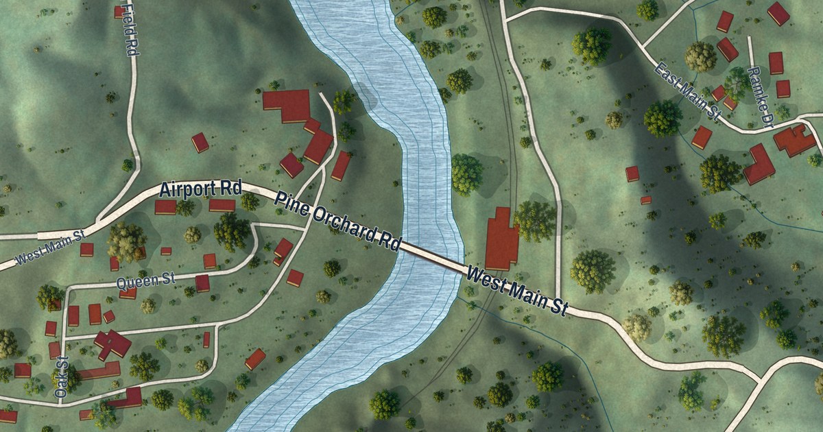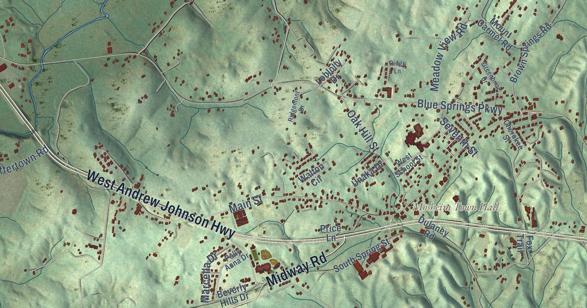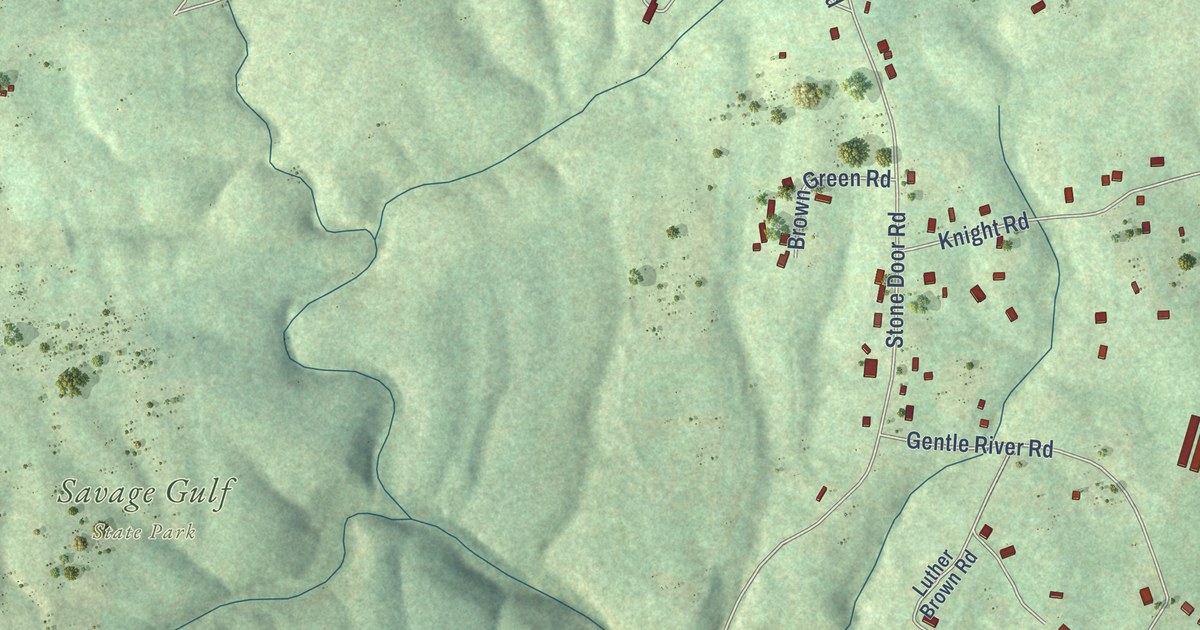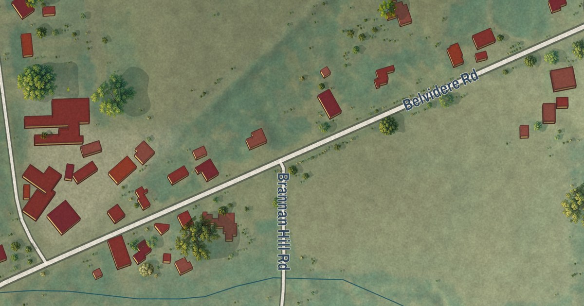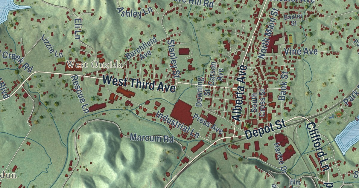
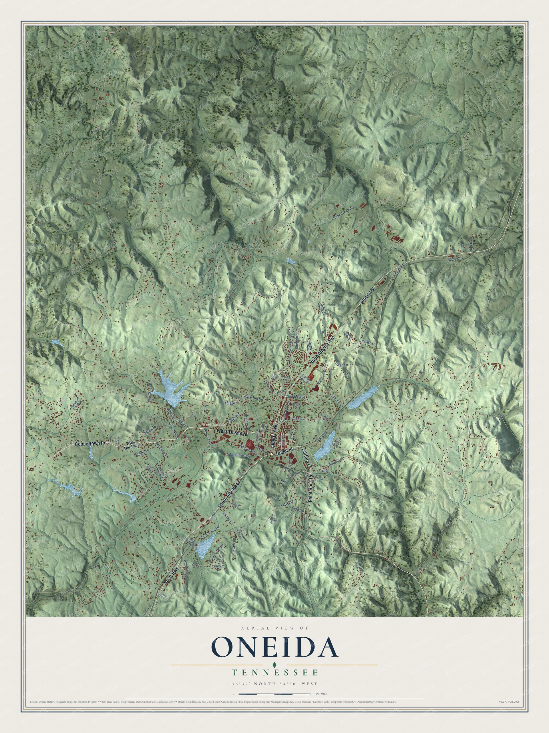
This beautifully detailed map of Oneida, Tennessee was created in 2026 using aerial imagery combined with modern topographical, census, street and landmark data. It’s a one-of-a-kind view of Oneida that combines accurate data with a vintage aesthetic. The map shows every building in its true location, many of the roads carry their names, and the shaded topographic relief shows the shape of the land.
Explore an aerial view of Oneida, Tennessee
On the map you’ll find Verdun, West Oneida, and High Point, along with West Third Avenue, South Alberta Street, Coopertown Road, Depot Street, Clifford Lane, Alberta Avenue, Scott Highway, Alberta Street, Paint Rock Road, and more. If you look closely you can even find your house accurately drawn in its correct location. Zoom in on the preview to look for yours.
Did you know this piece of Oneida, Tennessee history?
From the Tennessee Encyclopedia: "The largest municipality in the county, Oneida, was incorporated in 1913. Oneida served as a way station on the Cincinnati Southern Railroad, built in the 1870s to connect Chattanooga and Cincinnati."
Take a closer look at the Oneida map
Street and place names on the Oneida, Tennessee map
These names are printed on the map of Oneida, Tennessee.
Places: Verdun and West Oneida.
Streets and roads: South Alberta Street, Coopertown Road, Depot Street, Clifford Lane, West Third Avenue, Alberta Avenue, Scott Highway, Alberta Street, Paint Rock Road, North Alberta Avenue, Verdun Road, Skyline Drive.
More street names, A to Z
Ashley Lane, Bank Street, Baxter Street, Bear Creek Road, Buffalo Road, Burchfield Avenue, Carson Avenue, Center Street, Cherry Fork Road, Chester Avenue, Circle Drive, Claude Terry Drive, Dean Hill Road, Dean Lane, Denzil Drive, Downing Street, Edgewood Boulevard, Eli Lane, Elm Lane, Fairway Lane, Grand Pappy Lane, Grape Rough Road, Grave Hill Road, Hartco Drive, Hill Avenue, Hilltop Drive, Hollow Lane, Indian, Industrial Lane, James Avenue, Keeton Lane, King Street, Landmark Road, Litton Road, Lizzie Lane, Marcum Road, Marlin Keeton Lane, Mathews Road, Meadow Creek Drive, Minnies Place, Municipal Drive, Natasha Lane, North Lake Drive, North Main Street, Oak Park Drive, Park Road, Parkview Drive, Pine Creek Road, Poplar Lane, Press Avenue, Pullman Lane, Rescue Lane, Sand Cut Road, Sexton Lane, Shady Lane, Sheppard Road, Shoemaker Avenue, Slaven Lane, Smith Avenue, South Cross Street, Southern Lane, South Lake Drive, Stanley Street, Sunny Lane, Terry Road, Tipple Drive, Troxel Drive, Under Pass Drive, Vine Avenue, West Boulevard, West Ridge Drive, Williams Creek Road, Willow Lane.
See the Oneida, Tennessee map on a wall
The Oneida map as an 18 x 24 inch print in a black frame.

This beautifully detailed map of Oneida makes an attractive addition to your office, library, or den, and it can even be used to teach children the geography and history of the area. It also makes a great gift for anyone who grew up in Oneida or moved away. When you’re done exploring, click here to get your copy of the Oneida map.