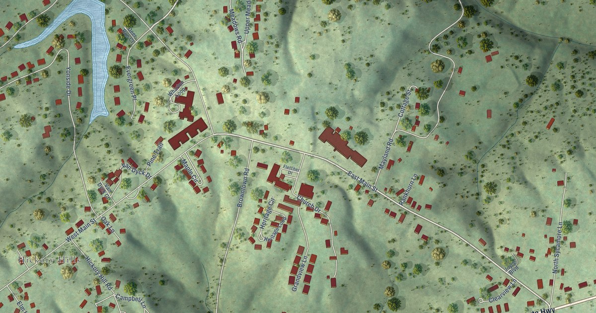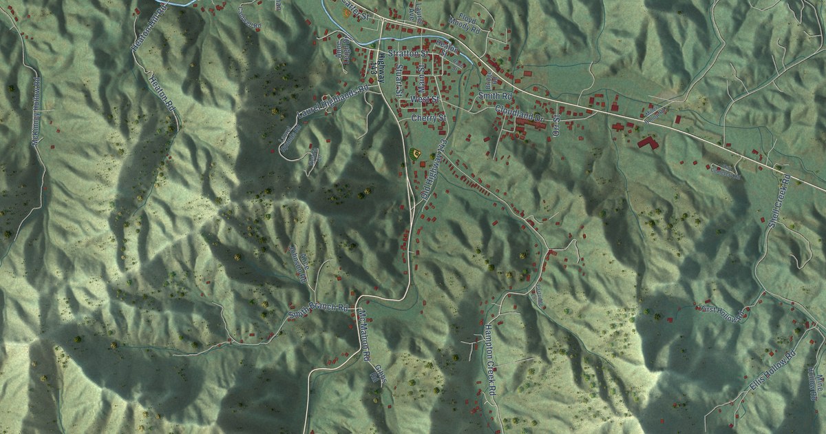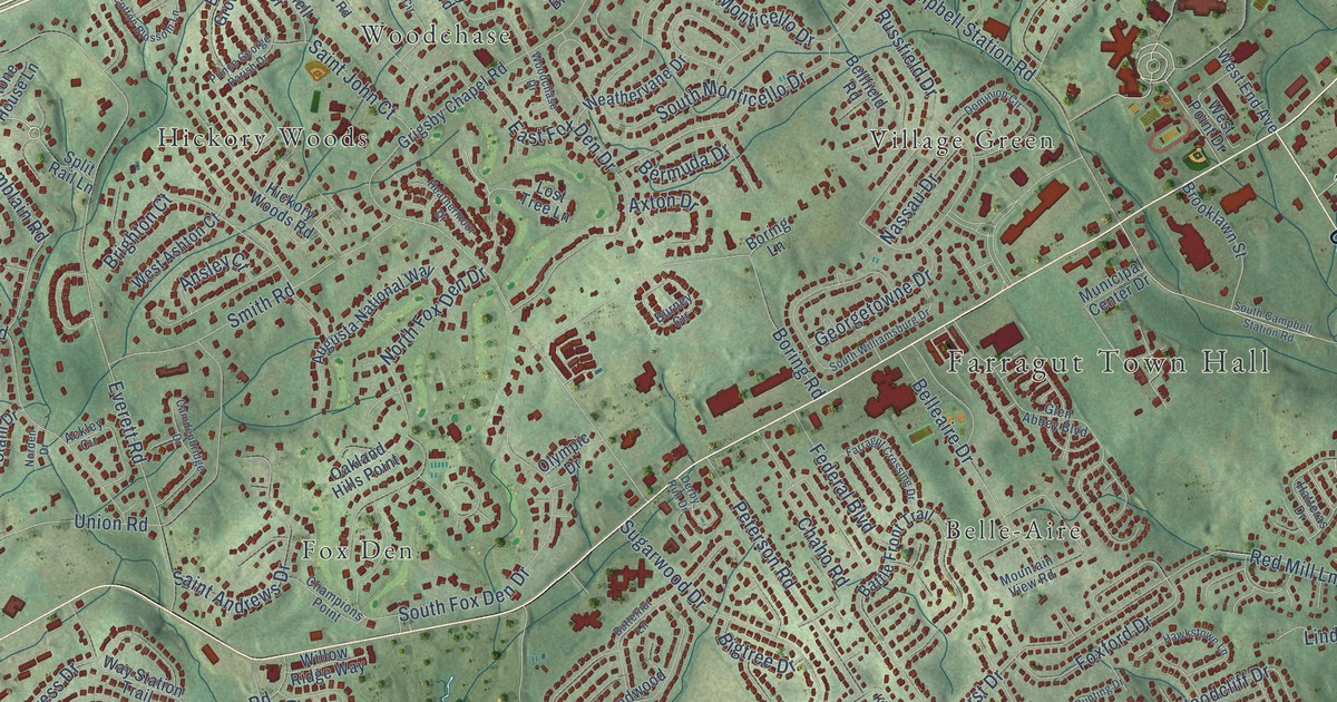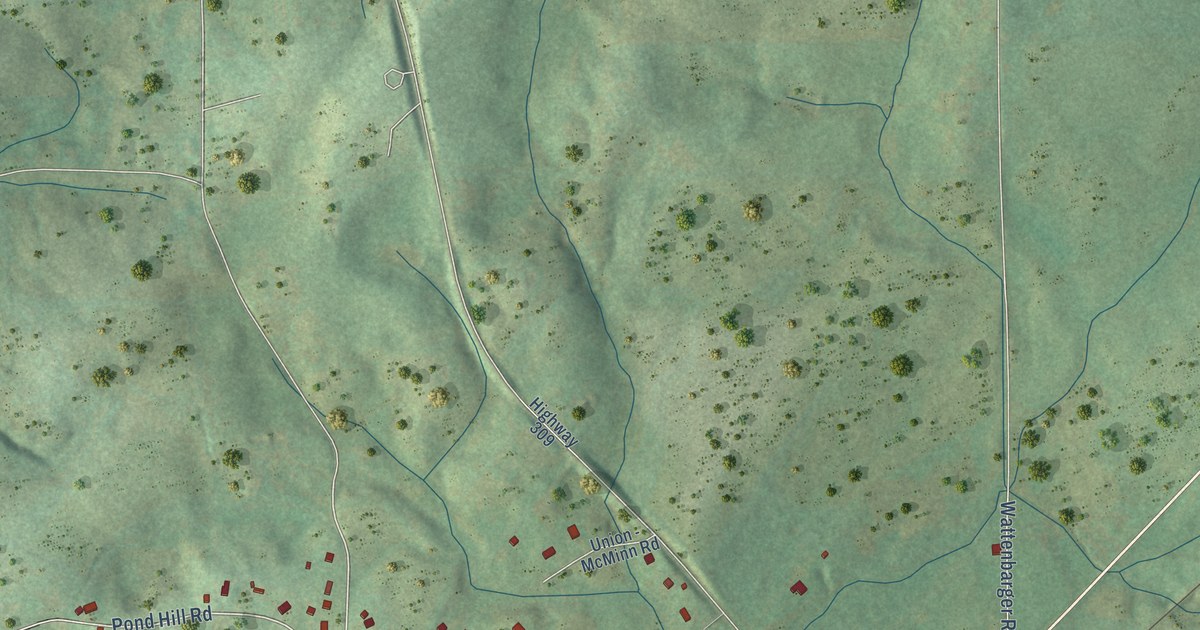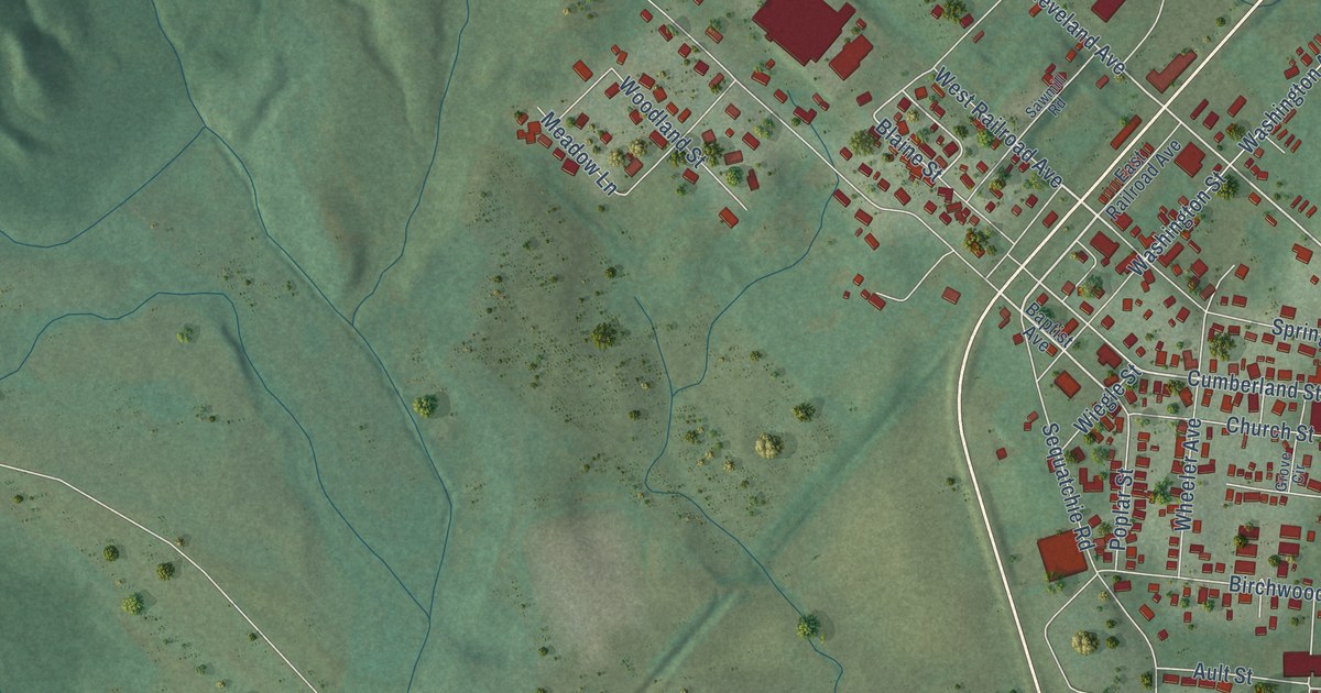
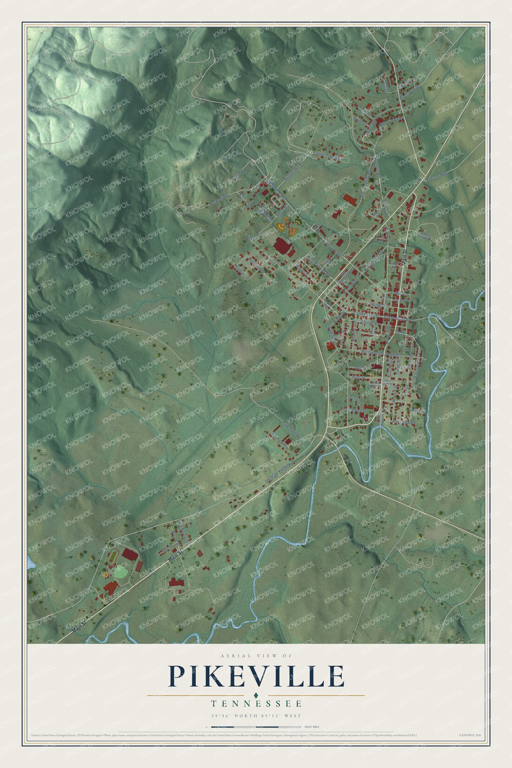
This beautifully detailed map of Pikeville, Tennessee was created in 2026 using aerial imagery combined with modern topographical, census, street and landmark data. It's a modern aerial view of Pikeville in Bledsoe County, Tennessee, that combines modern data with a vintage aesthetic. The roads feature printed names, and if you look closely you can find your exact house accurately shown in its correct location.
Explore an aerial view of Pikeville, Tennessee
On this map you'll find Main Street, Rockfort Road, West Railroad Avenue, Cleveland Avenue, Cumberland Street, Gill Street, Cumberland Avenue, West Legion Circle, Blaine Street, Old State Highway 28, Sequatchie Road, Grove Street, and more. Each red shape is a building, so zoom in on the preview and look for yours.
Pikeville has a story worth telling. The Tennessee Encyclopedia puts it this way: "Pikeville has changed little since the early twentieth century, with houses surrounding the county courthouse, a neoclassical building listed in the National Register of Historic Places. The Lincoln School, an early twentieth-century African American school and community center, stands on the north end of town."
Pikeville is a city in Bledsoe County. The Census Bureau counted 1,824 people here in 2020.
Take a closer look at the Pikeville map
Names on this map
These names are printed on this map.
Streets and roads: Main Street, Rockfort Road, West Railroad Avenue, Cleveland Avenue, Cumberland Street, Gill Street, Cumberland Avenue, West Legion Circle, Blaine Street, Old State Highway 28, Sequatchie Road, Grove Street.
More street names, A to Z
Agnes Road, Allen Deakins Road, Ault Street, Baptist Avenue, Birchwood Street, Boyd Street, Buckshot Drive, Burton Street, Cherry, Church Street, City Hall Street, College Street, Cranwell Street, Danielle's Street, Delozier Circle, East Legion Circle, East Maple Street, East Railroad Avenue, Farm Bureau Drive, Ferro Street, Frazier Street, Grand Valley Estates Drive, Grove Circle, Hankins Road, Higgletown Road, Higglin Town Road, Howard Street, Hyatt Road, Lana Drive, Lee Lane, Little Circle, Manufacturers Road, Mary Ann Lane, Meadow Land Lane, Meadow Lane, Methodist Avenue, Nipper Street, North Grove Street, Norwood Road, Old Highway 30, Old Spencer Road, Old Taft Highway, Oreto Alley, Pope Farm Road, Poplar Street, Pratt Street, River Street, River View Road, Robert Reed Road, Rockfort Street, Sam Street, Sawmill Road, Sells Circle, Southgate Lane, Spring Street, Tinker Road, Tollett Street, Washington Avenue, Washington Street, West Maple Street, Wheeler Avenue, Wheeler Town Avenue, Wiegle Street, Woodland Street.
Created by KNOWOL in 2026. The buildings are small red shapes, the roads carry their printed names, and shaded relief shows the shape of the land. The title panel reads "AERIAL VIEW OF PIKEVILLE TENNESSEE" with 35°36' NORTH 85°12' WEST.
It looks right in a kitchen, an office or a den, and it's a gift for anyone who grew up in Pikeville or moved away. Open the preview and find your street. See sizes and frames for the Pikeville map.