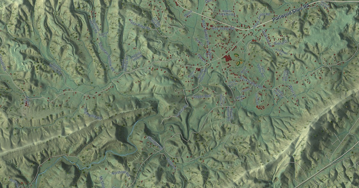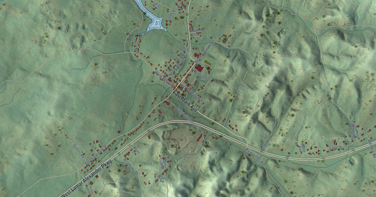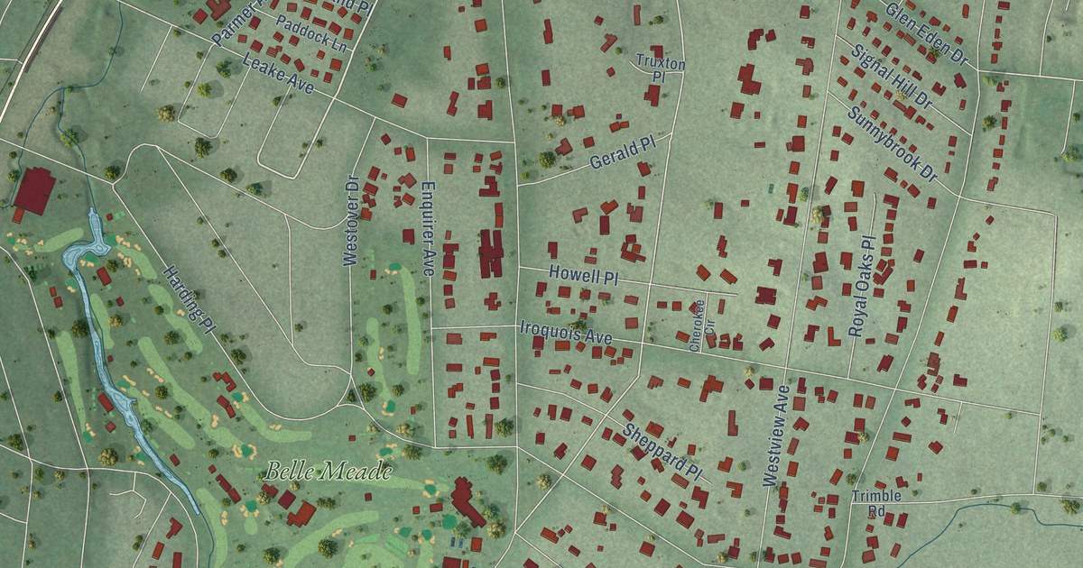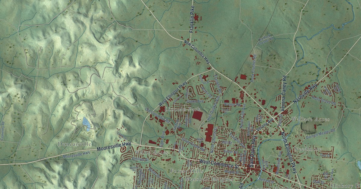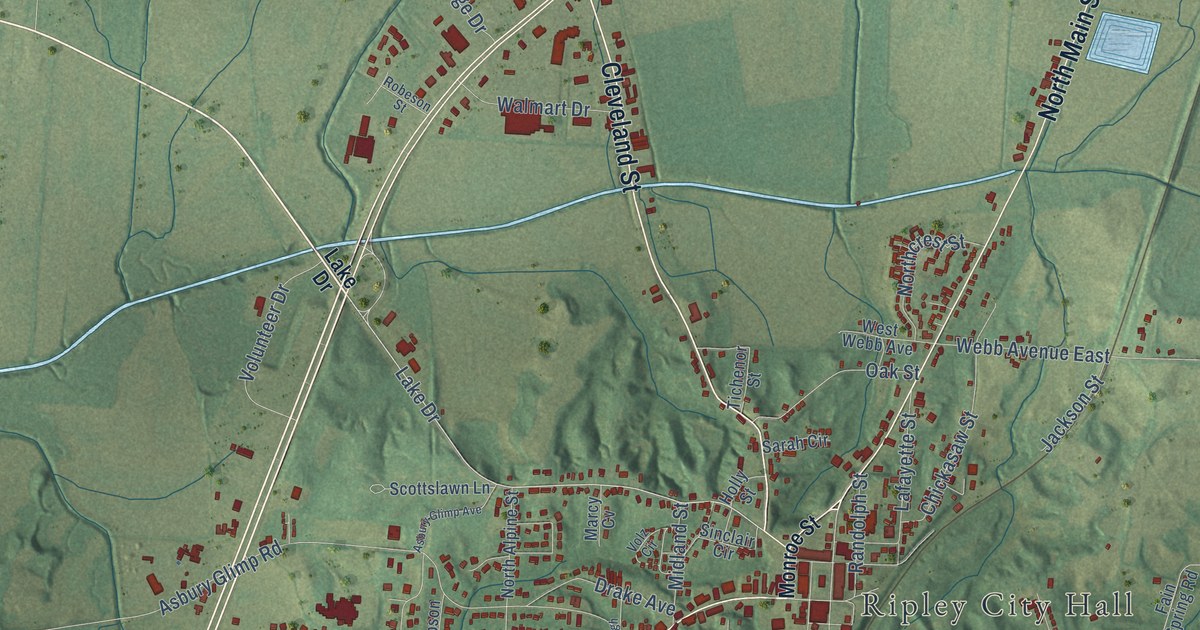
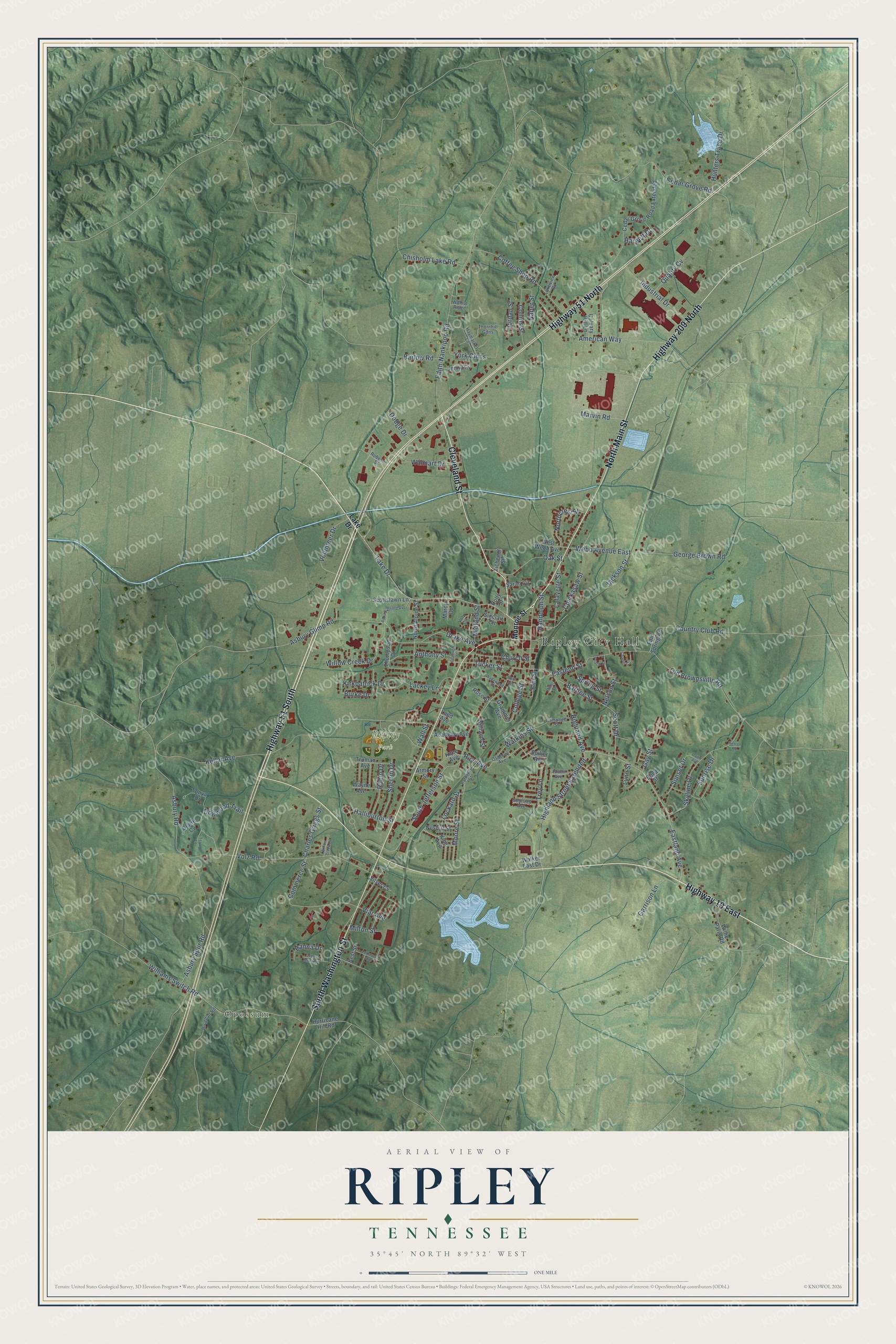
This beautifully detailed map of Ripley, Tennessee was created in 2026 using aerial imagery combined with modern topographical, census, street and landmark data. It's a modern aerial view of Ripley in Lauderdale County, Tennessee, that combines modern data with a vintage aesthetic. The roads feature printed names, and if you look closely you can find your exact house accurately shown in its correct location.
Explore an aerial view of Ripley, Tennessee
On this map you'll find Ripley City Hall, Opossum, Ripley Park, Highway 19 East, Cleveland Street, South Washington Street, North Main Street, Highway 51 North, Highway 51 South, Highway 209 North, Lake Drive, Eastland Avenue, and more. Each red shape is a building, so zoom in on the preview and look for yours.
Every town has a first chapter, and Ripley is no exception. The record at tennesseeencyclopedia.net puts it this way: "Ripley was established as the county seat in February 1836 on 62 acres purchased from Thomas Brown and named for General E."
Ripley is a city in Lauderdale County. The Census Bureau counted 7,800 people here in 2020.
Take a closer look at the Ripley map
Names on this map
These names are printed on this map.
Places: Ripley City Hall, Opossum and Ripley Park.
Streets and roads: Highway 19 East, Cleveland Street, South Washington Street, North Main Street, Highway 51 North, Highway 51 South, Highway 209 North, Lake Drive, Eastland Avenue, Highland Street Extended, Viar Avenue, American Way.
More street names, A to Z
Academy Avenue, Anthony Street, Armory Street, Asbury Glimp Avenue, Asbury Glimp Road, Asbury Road, Asbury Spur Road, Barbee Street, Barlow Road, Best Street, Boyd Street, Brogdon Road, Burke Drive, Byrn Avenue, Calvary Hill Lane, Campbell Street, Cedar Grove Road, Cedar Grove Road Extended, Chapel Circle, Charles Griggs Street, Chickasaw Street, Chisholm Lake Road, Church Street, Claire Cv, Coffee Shop Road, College Street, Collins Street, Commerce Street, Country Club Road, Dawn Avenue, Deer Run Cv, Dodge Drive, Dogwood Trail, Drake Avenue, Eastend Street, Edith-Nankipoo Road, Elm Street, Fain Spring Road, Fitzhugh Street, Garrison Lane, Gay Street, Geoffrey Avenue, George Brown Road, Grammer Avenue, Halliburton Street, Hanna Drive, Hargett Drive, Haymarket Lane, Herron Road, Highland Avenue, Holly Street, Hunters Trace Drive, Hurricane Hill Road, Industrial Drive, Jackson Street, Jenny Cv, Joann Avenue, Jordan Street, Kellar Avenue, King Avenue, Kirkpatrick Drive, Knee Avenue, Lackey Lane, Lafayette Street, Lakeview Road, Land Avenue, Larkwood Avenue, Lockard Street, Lynn Street, Marcy Cv, Marvin Road, Midland Street, Miller Street, Milton Street, Monroe Street, Moore Street, Naber Street, Nelson Street, Nesbitt Street, North Alpine Street, Northcrest Street, Oak Street, Old Brownsville Road, Osborne Avenue, Parkway Street, Peach Street, Quality Cv, Randolph Street, Rice Avenue, Robeson Street, Robin Drive, Rose Street, Sarah Circle, Scott Drive, Scottslawn Lane, Sherrin Drive, Silver Cv, Sinclair Circle, Skyline Drive, South Jefferson Street, Spiller Avenue, Spring Street, Sunrise Drive, Sunset Drive, Terry Lane, Thompson Drive, Thornhill Gdns, Tichenor Street, Tonya Drive, Trey Lane, Truman Avenue, Tucker Street, Volunteer Drive, Volz Circle, Volz Road, Wakewood Place, Walker East Drive, Wall Street, Walmart Drive, Walnut Ridge, Watkins Street, Wayne Avenue, Webb Avenue East, West Webb Avenue, Williams Street, Williams Switch Road, Willie Paris Road, Willow Creek Cv, Willow Creek Drive, York Cmns.
Created by KNOWOL in 2026. The buildings are small red shapes, the roads carry their printed names, and shaded relief shows the shape of the land. The title panel reads "AERIAL VIEW OF RIPLEY TENNESSEE" with 35°45' NORTH 89°32' WEST.
Hang it in the hallway, the office or the cabin, or give it to someone who left Ripley and still calls it home. Open the preview and look for a street you know. See sizes and frames for the Ripley map.