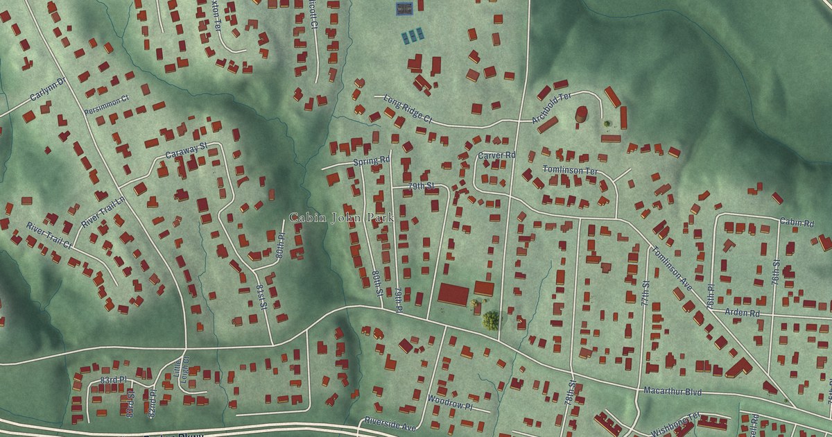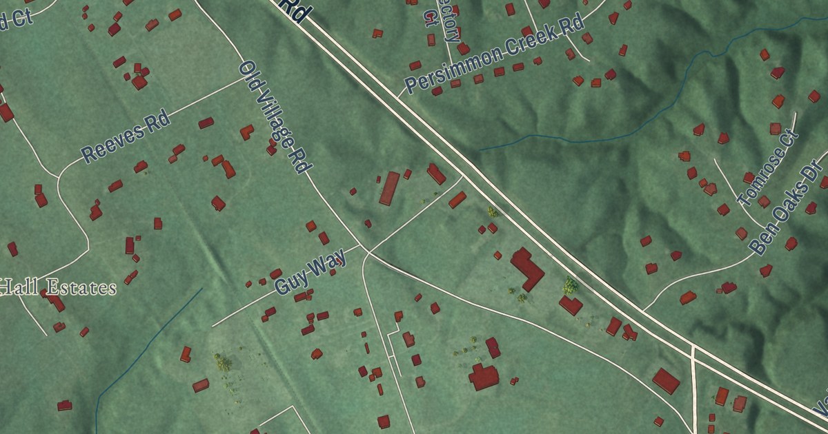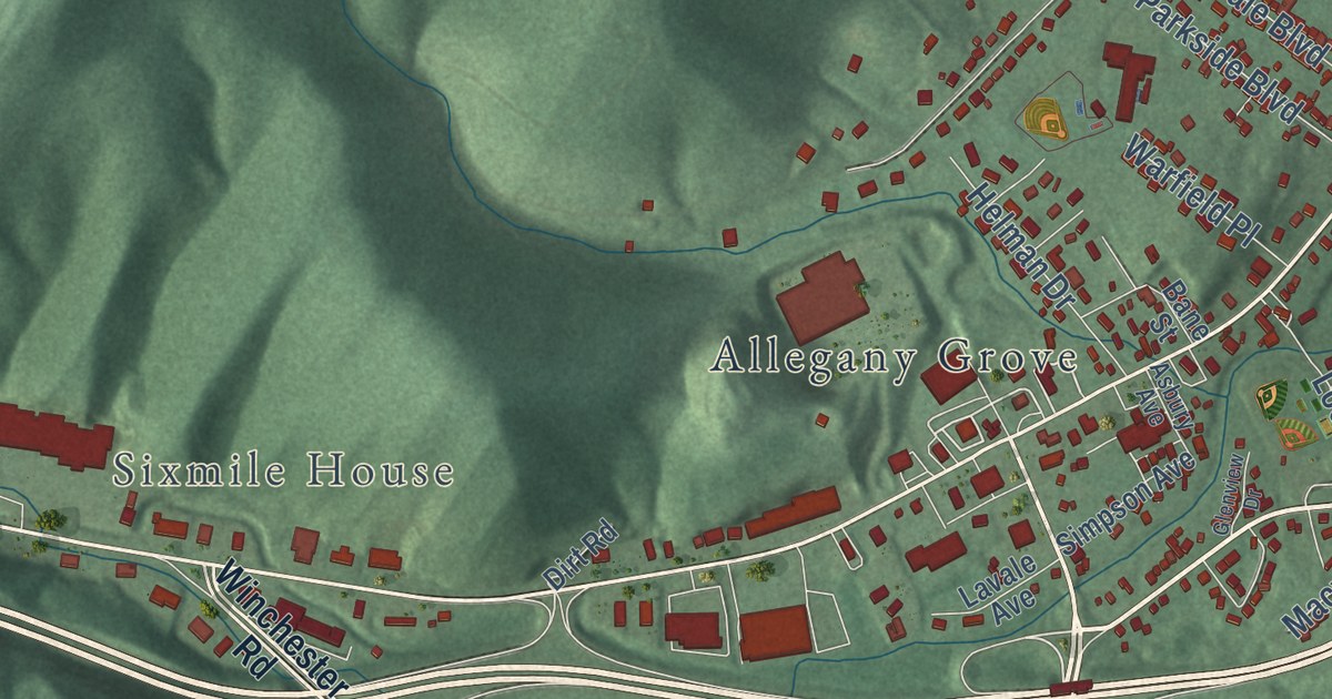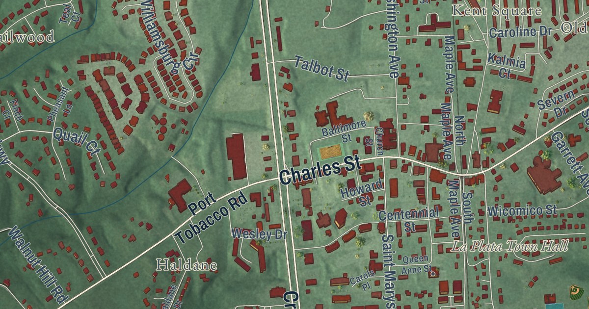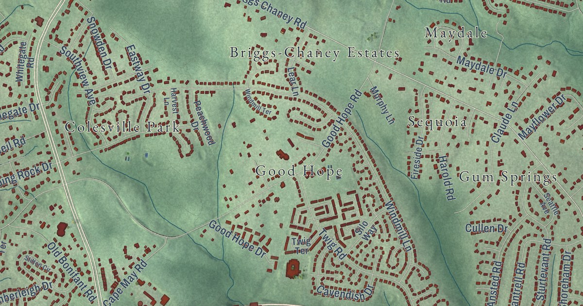
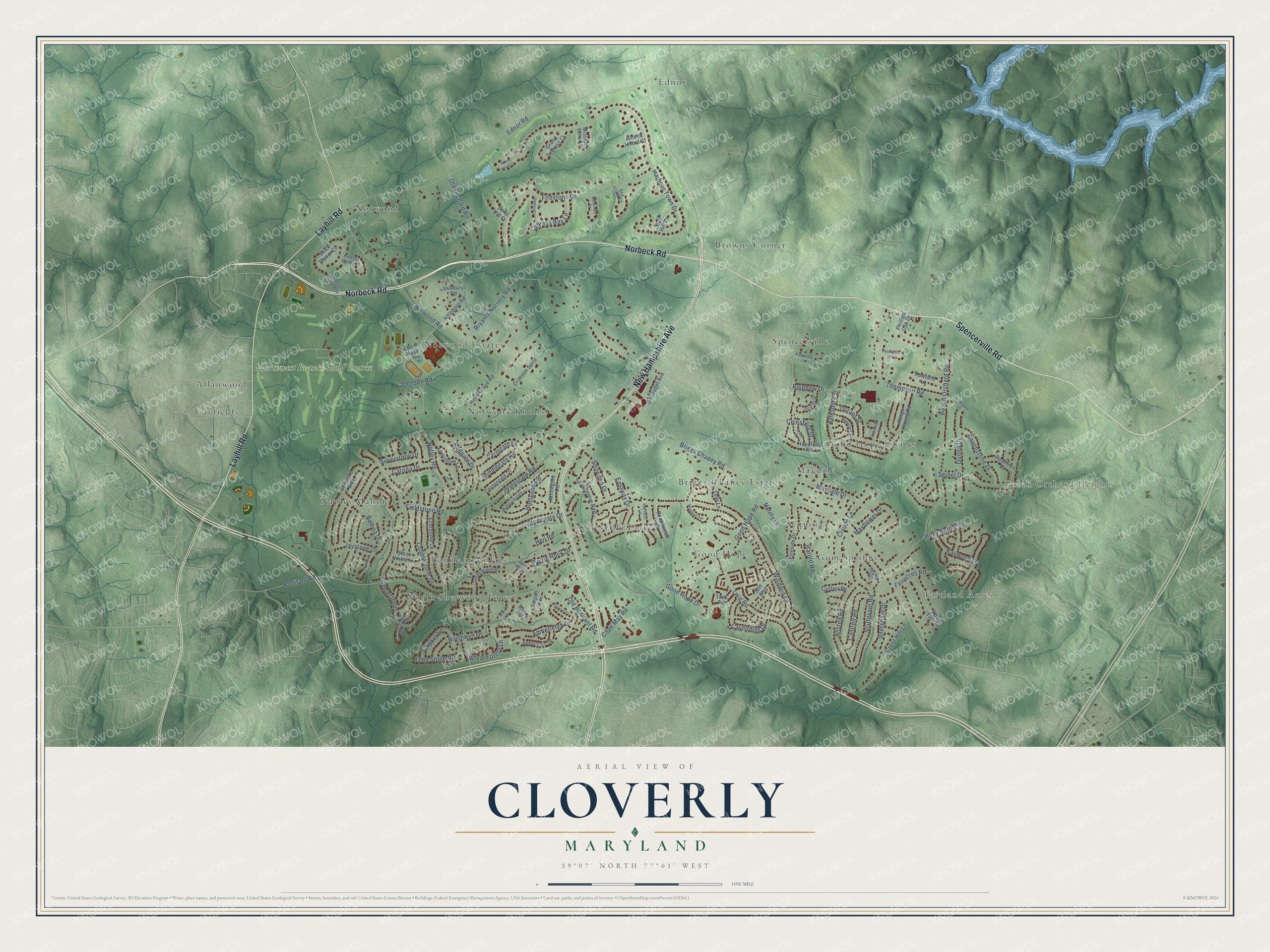
This beautifully detailed map of Cloverly, Maryland was created in 2026 using aerial imagery combined with modern topographical, census, street and landmark data. It’s a one-of-a-kind view of Cloverly that combines accurate data with a vintage aesthetic. The map shows every building in its true location, many of the roads carry their names, and the shaded topographic relief shows the shape of the land.
Explore an aerial view of Cloverly, Maryland
On the map you’ll find Peach Orchard Heights, Fairland Acres, Allanwood, Bonifant Village, Briggs-Chaney Estates, Browns Corner, Colesville Park, Ednor, Gayfields, Good Hope, Good Hope Estates, Gum Springs, and more. If you look closely you can even find your house accurately drawn in its correct location. Zoom in on the preview to look for yours.
Did you know this piece of Cloverly, Maryland history?
From the Montgomery County Planning Department: "A distinguished brick residence, Cloverly was the home of John Bentley who served in the State House of Delegates in 1912. Benjamin Rush Roberts built the Greek Revival house between 1849 and 1852 on part of Caleb Bentley's Bloomfield estate and named the property Sherwood."
Cloverly is a community in Montgomery County.
Take a closer look at the Cloverly map
Street and place names on the Cloverly, Maryland map
These names are printed on the map of Cloverly, Maryland.
Places: Peach Orchard Heights, Fairland Acres, Allanwood, Bonifant Village, Briggs-Chaney Estates, Browns Corner, Colesville Park, Ednor, Gayfields, Good Hope, Good Hope Estates, Gum Springs, Maydale, Naples Manor, North Sherwood Forest, Norwood, Norwood Estates, Norwood Knolls, Sequoia, Spencerville and Northwest Branch Golf Course.
Streets and roads: Norbeck Road, Spencerville Road, New Hampshire Avenue, Layhill Road, Briggs Chaney Road, Good Hope Road, Norwood Road, Bonifant Road, Ednor Road, Harbour Town Drive, Peach Orchard Road, Bryants Nursery Road.
More street names, A to Z
Amberleigh Drive, Amberleigh Terrace, Amelia Island Court, Ansted Road, Apple Tree Lane, Attleboro Road, Aylesbury Street, Balboa Drive, Bay Hill Lane, Beaufort Place, Brick Manor Circle, Butterchurn Lane, Calloway Court, Cantrell Road, Cape May Road, Carona Drive, Cavendish Drive, Centergate Drive, Claude Lane, Cobblestone Drive, Colesberg Street, Crest Hill Lane, Cricket Lane, Crimson Spire, Cullen Drive, Cutstone Way, Cypress Bay Lane, Donna Drive, Doral Hill Court, Durant Street, Duxbury Road, Eastway Drive, Eubie Blake, Fairacres Road, Farmgate Lane, Fieldstone Road, Fireside Drive, Firestone Drive, Flintstone Lane, Gallaudet Avenue, Good Hope Drive, Graaf Place, Grand Cypress Court, Harold Road, Harvest Lane, Heil Road, Hildegard Lane, Hilton Head Court, Holly Grove Road, Holly Spring Drive, Hopefield Road, Jaystone Court, Jaystone Drive, Johnson Road, Kaywood Lane, Kings House Road, Lear Lane, Lindsey Manor Lane, Llewellyn Manor Way, Marine Drive, Marine Terrace, Maydale Drive, Mayflower Drive, Medinah Court, Middlegate Road, Mission Hills Court, Montford Road, Murphy Lane, Northwyn Drive, Notley Road, Old Bonifant Road, Old Lyme Drive, Old Orchard Road, Old Stone Road, Peachstone Drive, Peachwood Drive, Pebblestone Drive, Phillips Oak Drive, Piping Rock Drive, Pumphrey Lane, Rainbow Drive, Redgate Drive, Redmiles Drive, Rowland Lane, Royal Forest Lane, Sandy Ridge Road, Sea Island Court, Seattle Avenue, Seibel Drive, Shoreham Drive, Silo Way, Silverstone Drive, Snowden Drive, Soapstone Lane, Southview Avenue, Stilton Circle, Stonegate Drive, Stone House Lane, Stratford Manor Terrace, Sturtevant Road, Tarpon Terrace, Thompson Hill, Thompson Road, Tindlay Street, Twig Road, Twig Terrace, Watergate Road, Wellwood Road, Whitegate Road, Windmill Lane, Windmill Terrace.
See the Cloverly, Maryland map on a wall
The Cloverly map as an 18 x 24 inch print in a black frame.

This beautifully detailed map of Cloverly makes an attractive addition to your office, library, or den, and it can even be used to teach children the geography and history of the area. It also makes a great gift for someone who left Cloverly and still calls it home. When you’re done exploring, click here to get your copy of the Cloverly map.