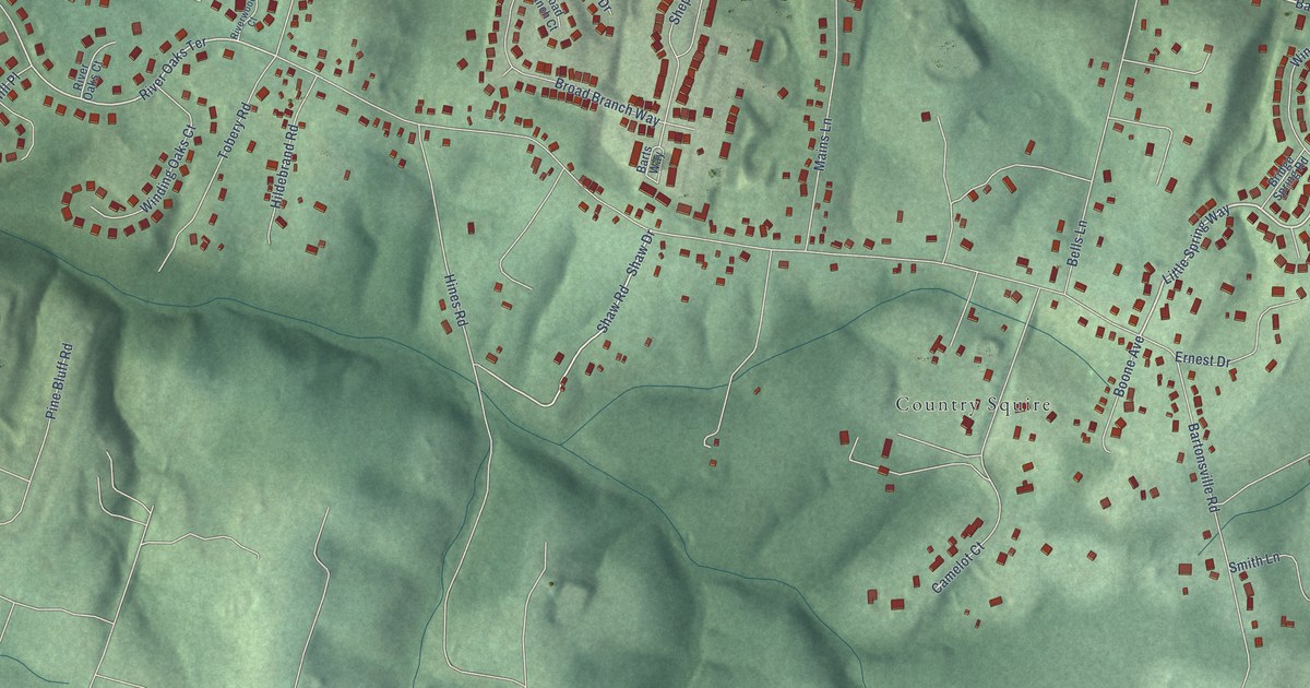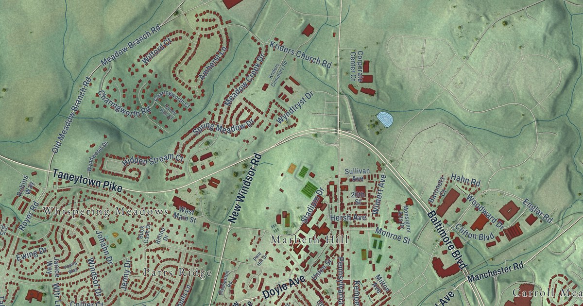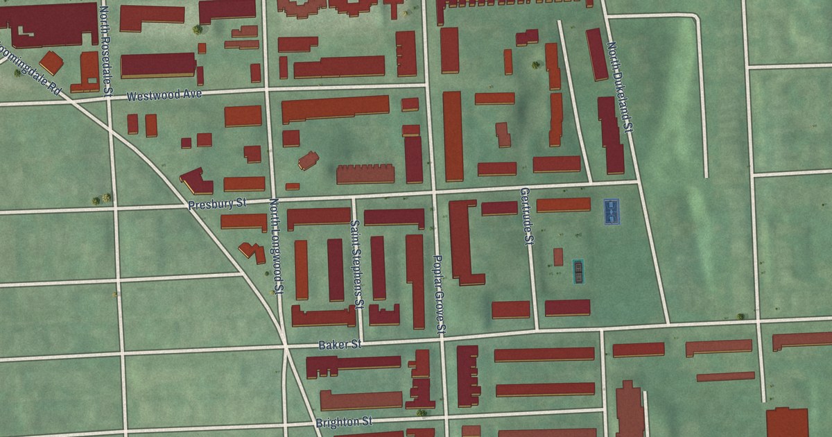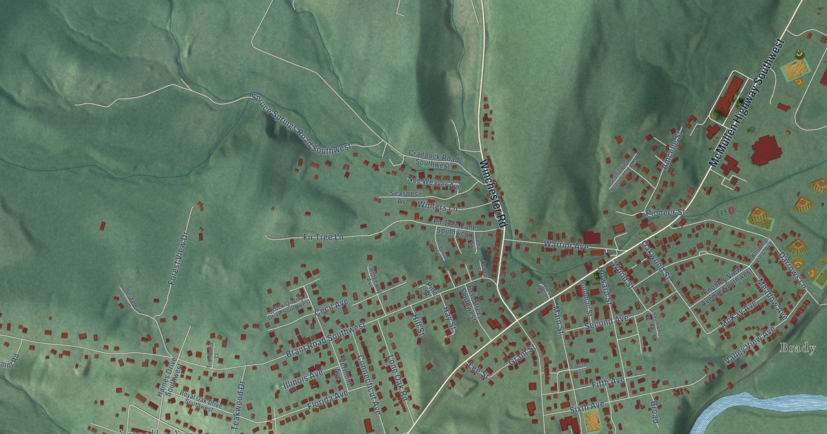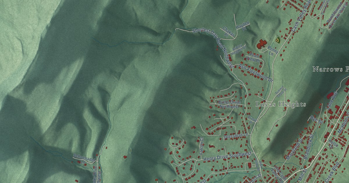
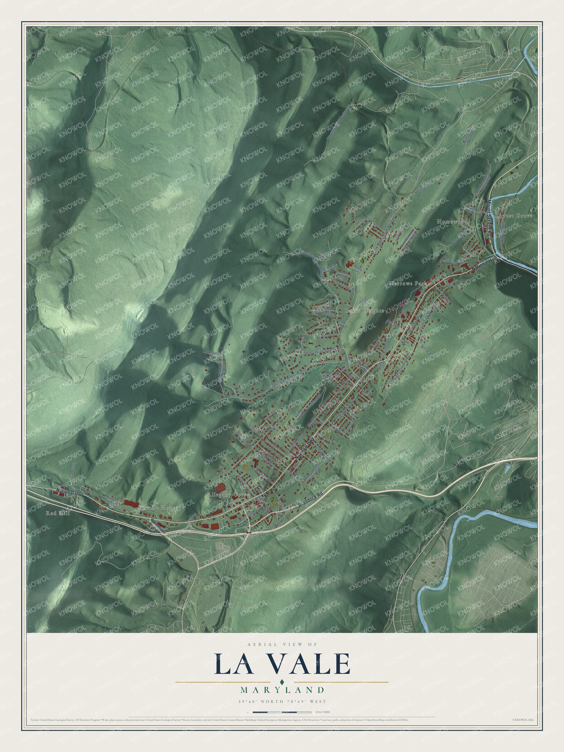
This beautifully detailed map of La Vale, Maryland was created in 2026 using aerial imagery combined with modern topographical, census, street and landmark data. It's a modern aerial view of La Vale in Allegany County, Maryland, that combines modern data with a vintage aesthetic. The roads feature printed names, and if you look closely you can find your exact house accurately shown in its correct location.
Explore an aerial view of La Vale, Maryland
On this map you'll find Red Hill, Sixmile House, Locust Grove, Lucas Heights, Allegany Grove, Narrows Park, Homewood, Braddock Road, Mount Savage Road, National Highway, Cash Valley Road Northwest, Henry Drive Southwest, and more. Each red shape is a building, so zoom in on the preview and look for yours.
Here is a piece of La Vale history. Finished in 1836, the seven-sided brick La Vale Toll Gate House was the first toll house on the Maryland part of the National Road, and for six years it was the only one. The state collected tolls there until 1878. Pioneers, immigrants and cattle drivers used the road, and so did Henry Clay, William Henry Harrison, Zachary Taylor and James K. Polk. That's from the Maryland Historical Trust.
La Vale is a community in Allegany County. The Census Bureau counted 4,201 people here in 2020.
Take a closer look at the La Vale map
Names on this map
These names are printed on this map.
Places: Red Hill, Sixmile House, Locust Grove, Lucas Heights, Allegany Grove, Narrows Park and Homewood.
Streets and roads: Braddock Road, Mount Savage Road, National Highway, Cash Valley Road Northwest, Henry Drive Southwest, Mary Street, Lavale Terrace, Gramlich Road Southwest, Shortest Day Road Northwest, Weires Avenue, Proenty Road Northwest, Georges Creek Boulevard.
More street names, A to Z
Asbury Avenue, Ash Fleetwood Drive, Ashley Heights Drive, Atlantic Avenue, Bane Street, Beatrice Street, Braddock Avenue, Braddock Street, Butler Drive Northwest, Cash Valley Road, Center Street, Chakas Place, Dakota Avenue, Dakota Street, Deal Avenue, Dirt Road, Dolly Terrace, Dressman Lane, Eleanor Street, Falcon Court, Fayette Street, Glenview Drive, Grant Drive, Greenpoint Road, Hayden Place, Helman Drive, Heritage Lane, Holly Avenue, Illinois Street, Kelso Drive, Labers Lane, Lane Avenue, Lavale Avenue, Lavale Boulevard, Lavale Court, Locust Grove Road Northwest, Locust Street, Long Drive, Macy Drive, Manteo Drive Northwest, Maryland Street, McHenry Street, Mill Street, Moores Drive Northwest, New York Avenue, New York Avenue Northwest, North First Street, North Third Street, Oaklawn Avenue, Oaklawn Avenue Extended, Oak Terrace, Old Cash Valley Road, Orchard Street, Ore Banks Drive Southwest, Park Avenue, Parkside Boulevard, Pearl View Place, Penny Lane, Proud Drive, Ramblewood Drive Northwest, Ren Roy Drive, Robinhood Drive, Rye Street, Sante Fe Street, Schoenadel Lane, Sensabaugh Lane, Simpson Avenue, Sixmile Road Southwest, South First Street, Summit Chase Drive, Thornwood Drive Northwest, Valley View Drive, Victor Avenue, Warfield Place, West Street, Winchester Road, Witt Lane, Woodland Avenue, Woolworth Avenue.
See it on a wall
The La Vale map as a framed print. Swipe for more.


Created by KNOWOL in 2026. The buildings are small red shapes, the roads carry their printed names, and shaded relief shows the shape of the land. The title panel reads "AERIAL VIEW OF LA VALE, MARYLAND" with 39°40' NORTH 78°49' WEST.
It suits a den, a classroom or a front hall, and it makes a gift for anyone with La Vale roots. Open the preview and find the block you know. See sizes and frames for the La Vale map.