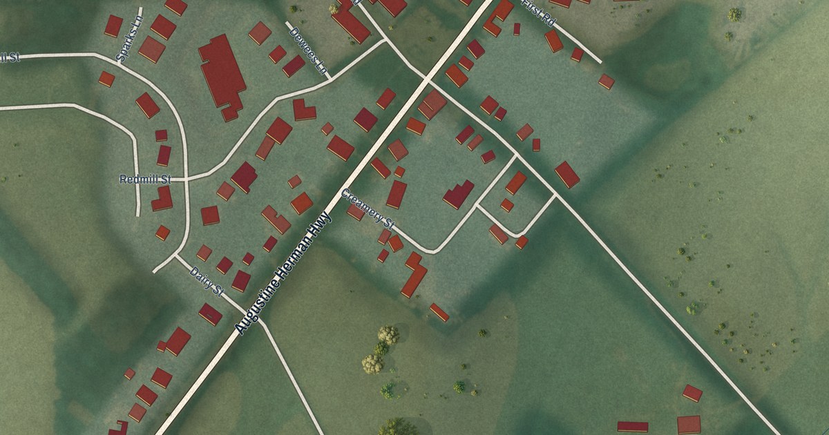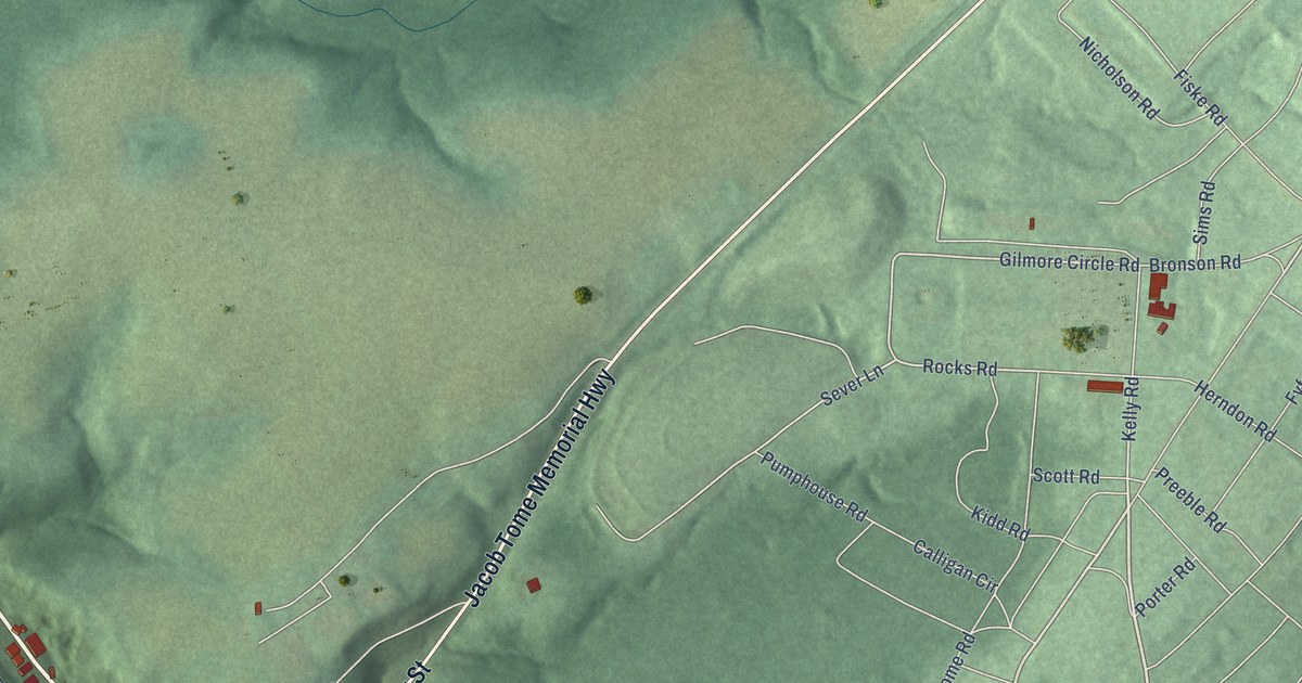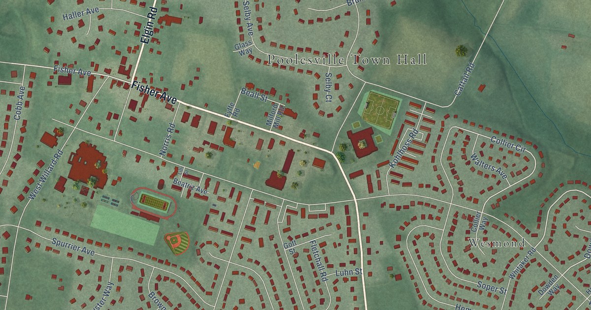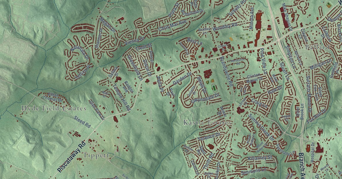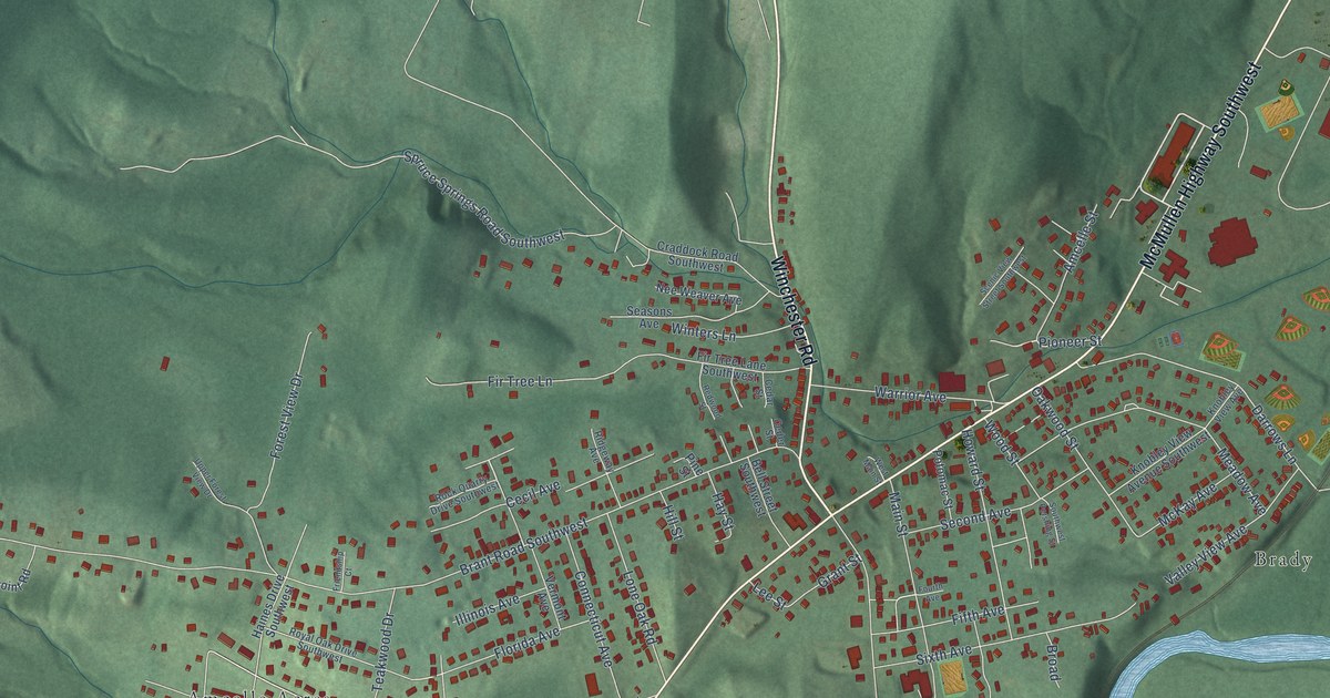
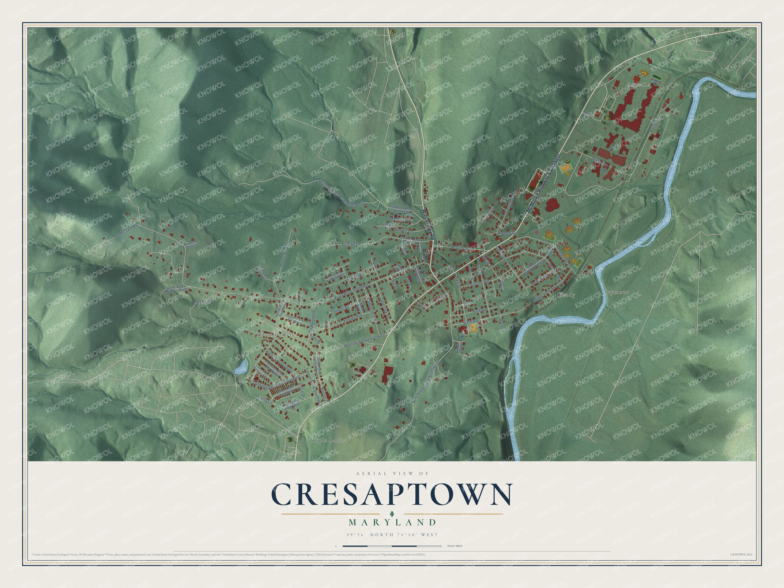
This beautifully detailed map of Cresaptown, Maryland was created in 2026 using aerial imagery combined with modern topographical, census, street and landmark data. It's a modern aerial view of Cresaptown in Allegany County, Maryland, that combines modern data with a vintage aesthetic. The roads feature printed names, and if you look closely you can find your exact house accurately shown in its correct location.
Explore an aerial view of Cresaptown, Maryland
On this map you'll find Brady, Triple Lakes, Amcelle, Amcelle Acres, Seymour, McMullen Highway Southwest, Winchester Road, Brant Road Southwest, Hazmat Drive, Winchester Road Southwest, Louise Drive Southwest, Harold Drive, and more. Each red shape is a building, so zoom in on the preview and look for yours.
Here is a piece of Cresaptown history. Cresaptown takes its name from the Cresap family, who settled in Allegany County around 1760. The village has also been called Canaan, Cresaps Burg and Upper Oldtown, and in 1877 it was renamed Brady's Mills, but by 1890 it was called Cresaptown again. Joseph Cresap, a Methodist preacher who served in the Revolutionary War, received western Maryland land in place of the pay he was owed. He built a stone house there in 1793 and a log house in 1801. That's from the Maryland Historical Trust.
Cresaptown is a community in Allegany County. The Census Bureau counted 5,442 people here in 2020.
Take a closer look at the Cresaptown map
Names on this map
These names are printed on this map.
Places: Brady, Triple Lakes, Amcelle, Amcelle Acres and Seymour.
Streets and roads: McMullen Highway Southwest, Winchester Road, Brant Road Southwest, Hazmat Drive, Winchester Road Southwest, Louise Drive Southwest, Harold Drive, Darrows Lane, Meadow Avenue, Fir Tree Lane, Sixth Avenue, Arnel Avenue.
More street names, A to Z
Amcelle Street, Bell Street Southwest, Broad, Cecil Avenue, Cedar Street, Cedarwood Drive Southwest, Ceder Street, Clear View Drive Southwest, Connecticut Avenue, Craddock Road Southwest, Creek Point Road, Cunningham Drive Southwest, Dottie Lane Southwest, Elton Drive Southwest, Fifth Avenue, Fir Tree Lane Southwest, Florida Avenue, Forest View Drive, Fourth Avenue, Friendship Court, Grace Drive, Grant Street, Haines Drive Southwest, Hay Street, Hidden View Lane, Hill Street, Howard Street, Illinois Avenue, Knobley View Avenue, Knobley View Avenue Southwest, Laura Lane, Lee Street, Lone Oak Road, Lucky Valley Road Southwest, Main Street, McKay Avenue, Merla Drive Southwest, Nee Weaver Avenue, Oak View Drive Southwest, Oakwood Street, Old Orchard Road, Pine Street, Pioneer Street, Potomac Street, Redwood Street, Ridgeway Avenue, Rock Quarry Drive Southwest, Royal Oak Drive Southwest, Scenic View Street Southwest, Seasons Avenue, Second Avenue, Southwest Pershing Street, Spruce Springs Road Southwest, Teakwood Drive, Todd Drive, Truly Drive, Upper Forest View Drive, Valley View Avenue, Vermont Avenue, Walter Drive Southwest, Warrior Avenue, West Main Street, Winters Lane, Wood Street, Wyoming Avenue Southwest.
See it on a wall
The Cresaptown map as a framed print. Swipe for more.


Created by KNOWOL in 2026. The buildings are small red shapes, the roads carry their printed names, and shaded relief shows the shape of the land. The title panel reads "AERIAL VIEW OF CRESAPTOWN, MARYLAND" with 39°36' NORTH 78°50' WEST.
It suits a den, a classroom or a front hall, and it makes a gift for anyone with Cresaptown roots. Open the preview and find the block you know. See sizes and frames for the Cresaptown map.