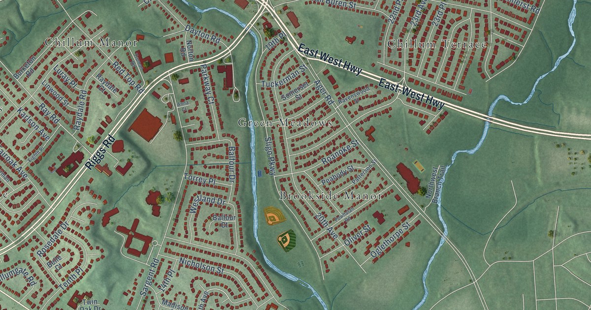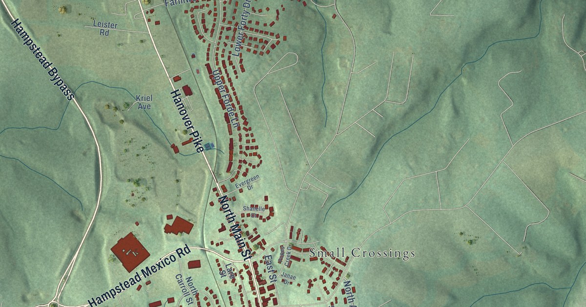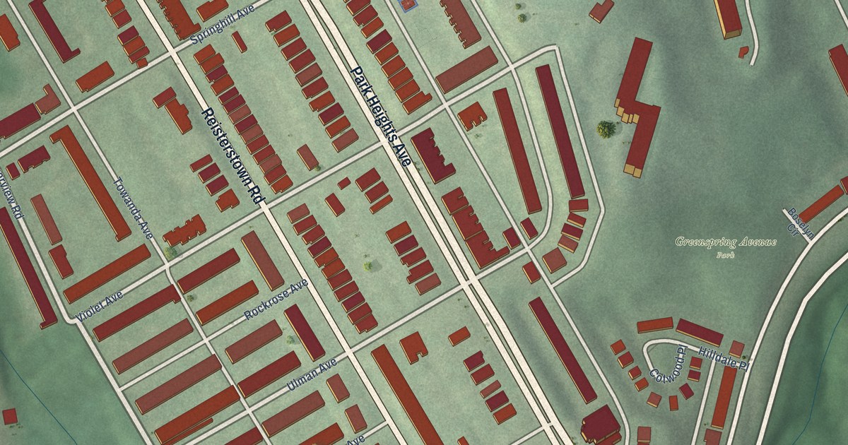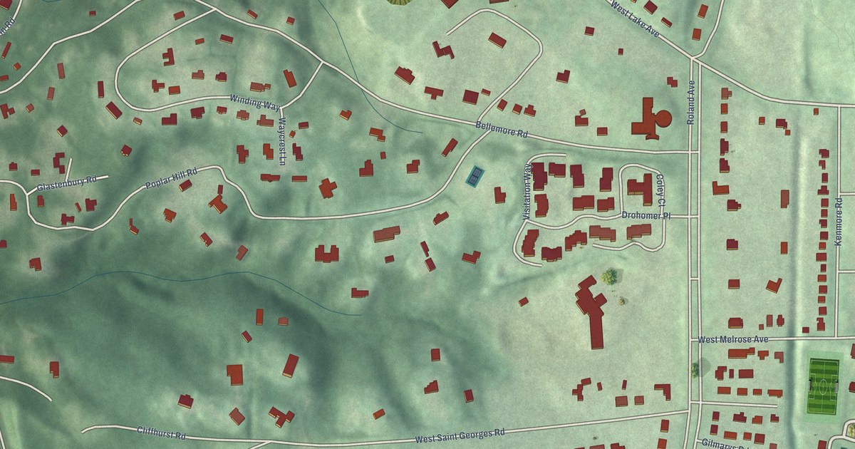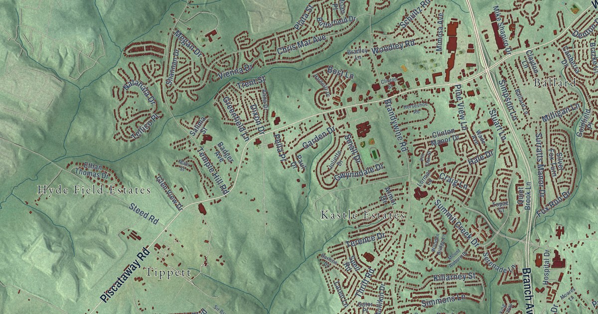
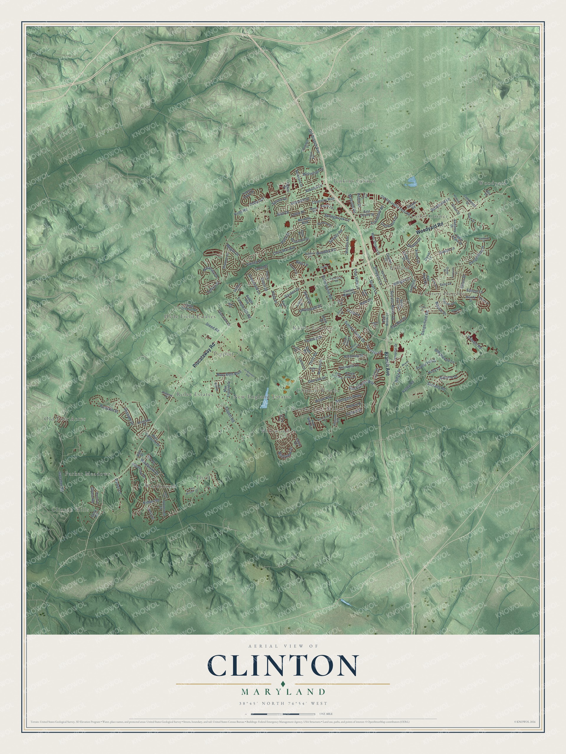
This beautifully detailed map of Clinton, Maryland was created in 2026 using aerial imagery combined with modern topographical, census, street and landmark data. It's a modern aerial view of Clinton in Prince George's County, Maryland, that combines modern data with a vintage aesthetic. The roads feature printed names, and if you look closely you can find your exact house accurately shown in its correct location.
Explore an aerial view of Clinton, Maryland
On this map you'll find Clinton Hills, Woodyard, Kastle Estates, Rolee Estates, Jenkins Corner, Clinton Heights, Brooke Jane Manor, Thrift, Old Fort Acres, Tippett, Coles Corner, Boniwood, and more. Each red shape is a building, so zoom in on the preview and look for yours.
Clinton is a community in Prince George's County. The Census Bureau counted 38,760 people here in 2020. The map prints the town name in its title panel, with the coordinates below it.
Take a closer look at the Clinton map
Names on this map
These names are printed on this map.
Places: Clinton Hills, Woodyard, Kastle Estates, Rolee Estates, Jenkins Corner, Clinton Heights, Brooke Jane Manor, Thrift, Old Fort Acres, Tippett, Coles Corner, Boniwood, Hyde Field Estates, Windbrook, Ballard, New England Estates, Parker Meadows and Clinton Woods.
Streets and roads: Piscataway Road, Branch Avenue, Woodyard Road, Thrift Road, Surratts Road, Brandywine Road, Old Branch Avenue, Dangerfield Road, Temple Hill Road, Gallahan Road, Tippett Road, Plata Street.
More street names, A to Z
Aaron Lane, Accolade Drive, Alan Drive, Allerton Terrace, Anna Drive, Applecross Drive, Arbroath Drive, Arbutus Lane, Armor Drive, Badger Avenue, Ballard Lane, Banleigh Lane, Barnwood Drive, Beechwood Lane, Bellefonte Lane, Berkshire Drive, Birchview Drive, Bork Drive, Bost Lane, Bradley Lane, Brazke Court, Butterfield Drive, Canberra Drive, Carolina Meadow Lane, Castle Rock Drive, Cedar Chase Drive, Chris Mar Avenue, Clayton Lane, Clendinnen Drive, Clinton Manor Drive, Clinton Street, Commo Road, Coolridge Drive, Cork Tree Way, Cosca Park Place, Coventry Way, Craig Lane, Danford Drive, Dangerfield Place, Daniel Lane, Darlene Drive, Deka Road, Delancey Street, Delano Road, Den Lee Drive, Denton Drive, Dixon Drive, Don Drive, East Clinton Street, Echo Lane, Edison Lane, Eldon Drive, Ethan Thomas Drive, Evelyn Lane, Ferry Avenue, Fletcher Avenue, Fox Park Road, Fox Run Drive, Friendship Road, Fulford Street, Garden Drive, Gator Place, Gerry Road, Gladeside Drive, Glen View Drive, Glissade Drive, Glynis Road, Goldfield Place, Greenfield Lane, Green Street, Gwynndale Drive, Hale Drive, Hardesty Drive, Heflin Drive, Helmsley Drive, Hillantrae Drive, Holly Lane, Horseshoe Road, Hospital Drive, Hunter Drive, Hunt Weber Drive, Jervis Street, Joan Place, Juliette Drive, Keystone Avenue, Kidder Road, Killarney Street, Kirby Road, Kittama Drive, Laren Lane, Lohr Lane, Lormar Lane, Lottie Place, Lunan Road, Malcolm Road, Manor Road, Marcia Place, Mardella Boulevard, Mary Beth Boulevard, Mary Catherine Drive, Massie Drive, Maui Street, Megan Drive, Mike Shapiro Drive, Milligan Lane, Mimosa Avenue, Moores Lane, Mount Auburn Drive, Mullikin Drive, Natahala Drive, New England Drive, Northgate Parkway, Ogden Drive, Old Alexandria Ferry Road, Oriley Drive, Parker Lane, Paul Drive, Pella Place, Pine View Lane, Pin Oak Street, Poplar Hill Drive, Pumpkin Street, Purple Lilac Lane, Quaking Aspen Way, Quiet Brook Lane, Ridge Drive, Salima Street, Sand Cherry Way, Schultz Road, Serenade Lane, Shannan Drive, Silver Fox Turn, Simmons Lane, Simpson Lane, Sir Brendan Avenue, Sir Paul Place, Small Drive, Spell Road, Springbrook Lane, Spruce Drive, Steed Road, Stuart Lane, Summersweet Drive, Summit Creek Drive, Surratts Manor Drive, Sweeney Drive, Sylvia Drive, Tarquin Avenue, Tellico Place, Terence Drive, Tinkers Creek Place, Topaz Court, Townsend Lane, Trent Street, Valley Road, Vienna Drive, Wade Avenue, Wendy Street, Westover Lane, Willow Way, Windbrook Drive, Wolverton Lane, Wooden Bridge Lane, Woodley Road, Zephyr Avenue.
See it on a wall
The Clinton map as a framed print. Swipe for more.


Created by KNOWOL in 2026. The buildings are small red shapes, the roads carry their printed names, and shaded relief shows the shape of the land. The title panel reads "AERIAL VIEW OF CLINTON, MARYLAND" with 38°45' NORTH 76°54' WEST.
Hang it in the hallway, the office or the cabin, or give it to someone who left Clinton and still calls it home. Open the preview and look for a street you know. See sizes and frames for the Clinton map.