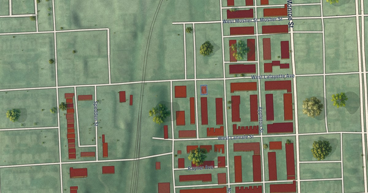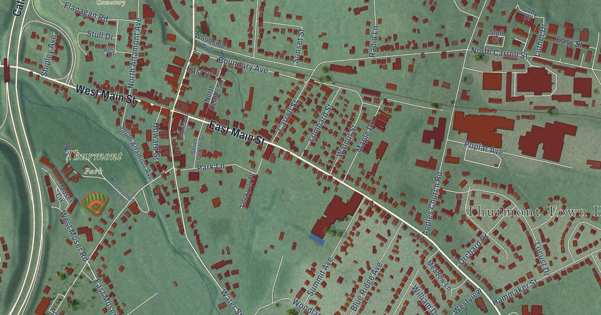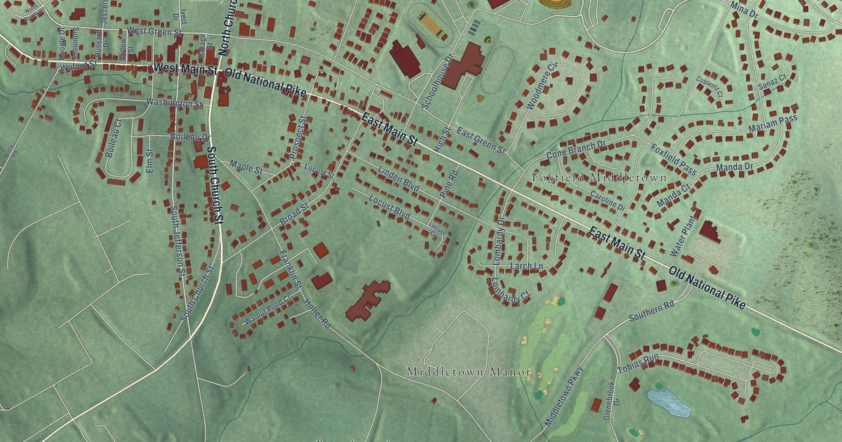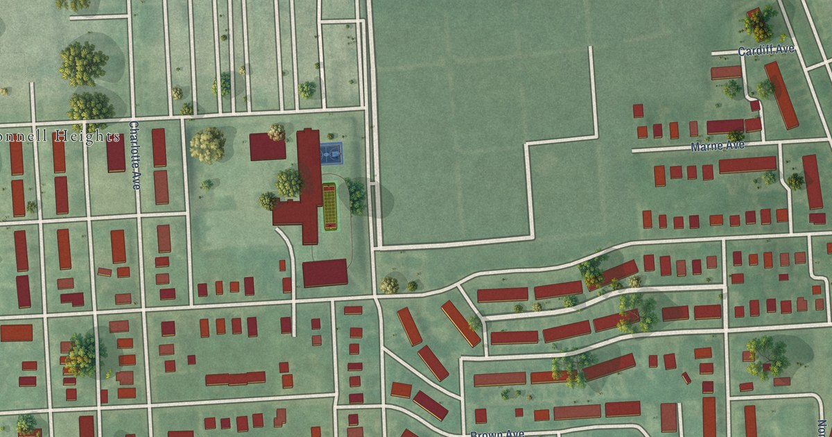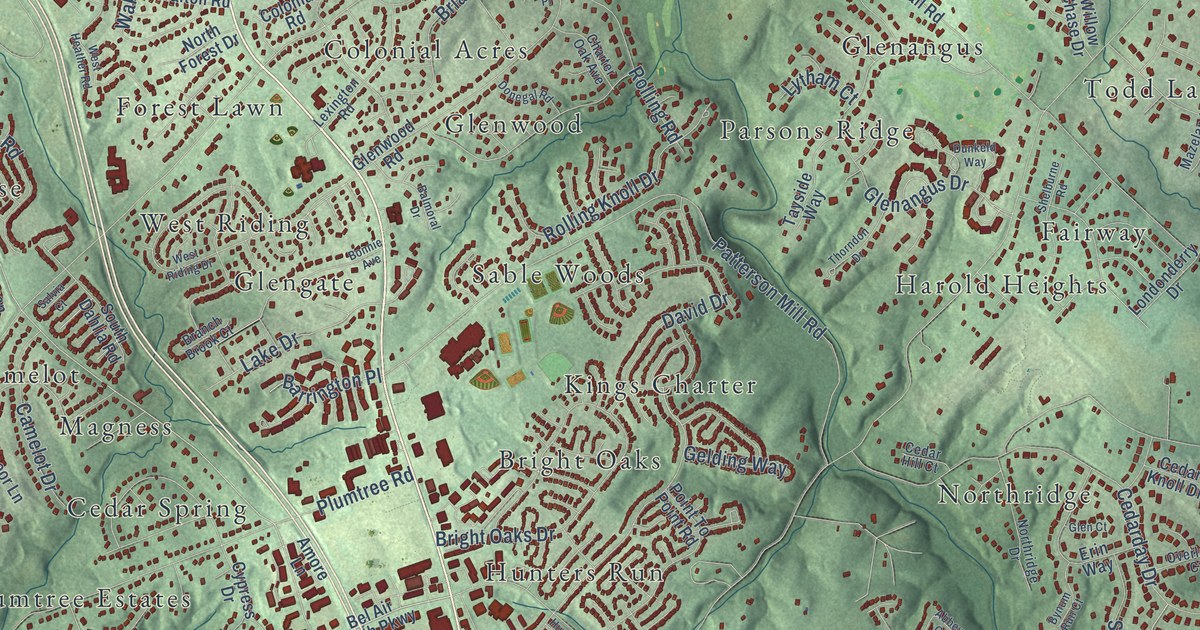
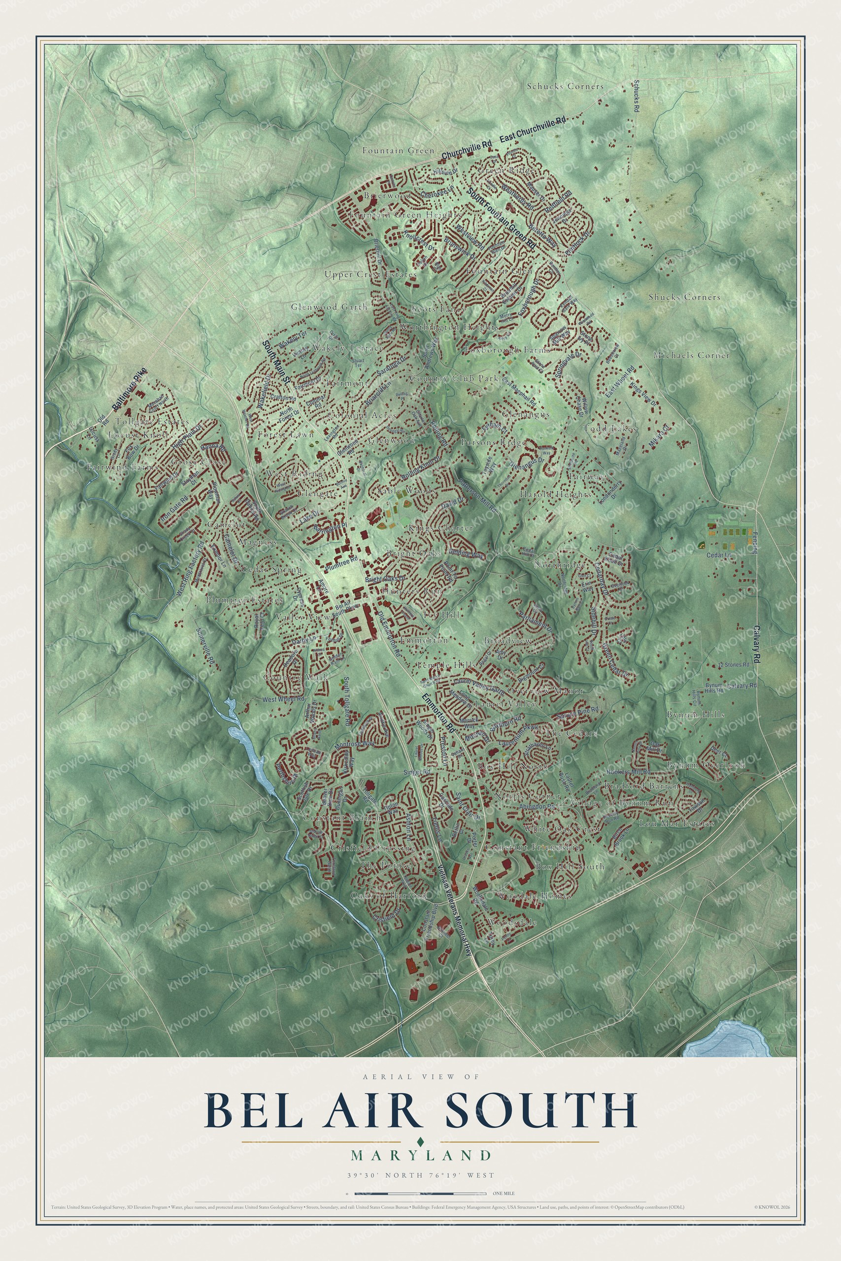
This beautifully detailed map of Bel Air South, Maryland was created in 2026 using aerial imagery combined with modern topographical, census, street and landmark data. It's a modern aerial view of Bel Air South in Harford County, Maryland, that combines modern data with a vintage aesthetic. The roads feature printed names, and if you look closely you can find your exact house accurately shown in its correct location.
Explore an aerial view of Bel Air South, Maryland
On this map you'll find Harold Heights, Oaks of Harford, Schucks Corners, Locust Knoll, Village of Bynum Run, Fountain Green Heights, Country Walk, Shucks Corners, Hunters Run, Box Hill South, Worthington Heights, Green Ridge, and more. Each red shape is a building, so zoom in on the preview and look for yours.
Bel Air South is a community in Harford County. The Census Bureau counted 57,648 people here in 2020. The map prints the town name in its title panel, with the coordinates below it.
Take a closer look at the Bel Air South map
Names on this map
These names are printed on this map.
Places: Harold Heights, Oaks of Harford, Schucks Corners, Locust Knoll, Village of Bynum Run, Fountain Green Heights, Country Walk, Shucks Corners, Hunters Run, Box Hill South, Worthington Heights, Green Ridge, Laurel Valley, Cedar Spring, Bynum Hills, Foxborough Farms, Michaels Corner, Constant Branch, Kings Charter, Woodsdale, Todd Lakes, Overview Manor, Norris Corner, West Riding, Glenwood, Northridge, Grose Close, Wakely Terrace, Fountain Glen, Glenangus, Brierwood, Plumtree Estates, Upper Crest Estates, Constant Friendship, Bynum Overlook, Emmorton, Sable Woods, Parsons Ridge, Crisfield Crossing, Scots Fancy, Bright Oaks, Broadview, Fairway, Valley View, Box Hill North, Fountain Green, Camelot, White Oak Crest, The Cedars, Ivy Hill, Tollgate Estates, Lou Mar Estates, The Pointe, Fairmont, Country Club Park, Woodale Homes, Fairwind Farms, Bradford Barrens, Colonial Acres, Temple Hills, Forest Lawn, Magness, Glenwood Garth and Glengate.
Streets and roads: Emmorton Road, Churchville Road, East Churchville Road, South Main Street, Baltimore Pike, South Fountain Green Road, Calvary Road, South Tollgate Road, Singer Road, Abingdon Road, Knollcrest Drive, Crisfield Drive.
More street names, A to Z
12 Stones Road, Abbey Circle, Airdrie Avenue, Althea Court, Amore Lane, Amy Drive, Arthur Woods Drive, Arundel Court, Ashton Lane, Balmoral Drive, Barrington Place, Beaver Dam Drive, Beechview Court, Bel Air South Parkway, Bentley Circle, Beretta Way, Berlin Court, Bigmount Court, Birch Brook Lane, Blair Court, Bonnie Avenue, Boxthorn Road, Bradford Lane, Branch Brook Court, Brians Garth, Briarcliff Lane, Brierhill Drive, Brierhill Estates Drive, Bright Oaks Drive, Brooks Avenue, Brunswick Drive, Bynum Hills Circle, Bynum Hills Road, Bynum Run Court, Camelot Drive, Canvas Place, Cascade Drive, Cass Drive, Cedarday Drive, Cedar Hill Court, Cedar Knoll Drive, Cedar Lane, Charter Oak Avenue, Cherokee Lane, Clydebank Drive, Colonial Road, Constant Friendship Boulevard, Crafton Road, Cypress Drive, Darby Lane, David Drive, Deadora Drive, Deer Court, Dixie Drive, Donegal Road, Dunkeld Way, Dunnigan Drive, East Macphail Road, East Ring Factory Road, East Wheel Road, Erin Way, Exmoor Lane, Fairmont Drive, Fairwind Drive, Fencing, Flintlock Drive, Foreland Garth, Fountain Glen Drive, Foxborough Drive, Fox Bow Drive, Foxhall Drive, Gelding Way, Glenangus Drive, Glen Court, Glenwood Road, Golden Rain Lane, Grady Lane, Green Cedar Drive, Hamburg Drive, Hanna Road, High Plain Drive, Hillside Drive, Hookers Mill Road, Hunters Chase, Iron Gate Road, Jennings Drive, Kendall Gate Way, Kildonan Court, Kings View Drive, Kirby Circle, Kirkcaldy Way, Knotty Pine Drive, Lake Drive, Laurel Bush Road, Laurel Valley Garth, Laurel Woods Drive, Laurentum Parkway, Lexington Road, Lilly Court, Locust Lane, Londonderry Drive, Long Meadow Drive, Lothian Way, Lytham Court, Macphail Court North, Mauser Drive, Mazeland Drive, Merrick Way, Merry Hill Court, Mikara Court, Mitchell Drive, Montravel Court, Montrose Way, North Forest Drive, North Lynbrook Road, Northridge Drive, Oak Mill Drive, Old Emmorton Road, Old Road, Oriole Court, Overlook Court, Parliament Drive, Patterson Mill Road, Penny Lane, Perthshire Place, Peverly Run Road, Plowman Way, Plumtree Road, Point To Point Road, Porter Drive, Preston Lane, Prindle Court, Prindle Drive, Redfield Road, Regal Drive, Rolling Knoll Drive, Rolling Place, Rolling Road, Royal Fern Court, Saint Andrews Way, Saint Clair Drive, Saint Marys Church Road, Salvia Court, Saratoga Drive, Schucks Road, Scottish Isle Drive, Selvin Drive, Shady Creek Court, Shallow Ridge Court, Shelburne Road, Sidehill Drive, Singer Woods Drive, Somerville Road, South Dahlia Road, South Hill Court, Sparrow Mill Way, Springvale Drive, Spruce Pine Road, Stayman Court, Stone Ivy Place, Stone Post Court, Strathaven Lane, Stuart Terrace, Sunny View Road, Tayside Way, Thorndon Drive, Tipton Way, Tollgate Parkway, Tollgate Road, Torey Lane, Towson Drive, Trellis Lane, Valiant Drive, Victory Lane, Vietnam Veterans Memorial Highway, Wakefield Drive, Weatherby Road, West Heather Road, West Riding Drive, West Ring Factory Road, Westview Road, West Wheel Road, Willow Chase Drive, Windwood Road, Woodsdale Road.
See it on a wall
The Bel Air South map as a framed print. Swipe for more.


Created by KNOWOL in 2026. The buildings are small red shapes, the roads carry their printed names, and shaded relief shows the shape of the land. The title panel reads "AERIAL VIEW OF BEL AIR SOUTH, MARYLAND" with 39°30' NORTH 76°19' WEST.
Hang it in the hallway, the office or the cabin, or give it to someone who left Bel Air South and still calls it home. Open the preview and look for a street you know. See sizes and frames for the Bel Air South map.