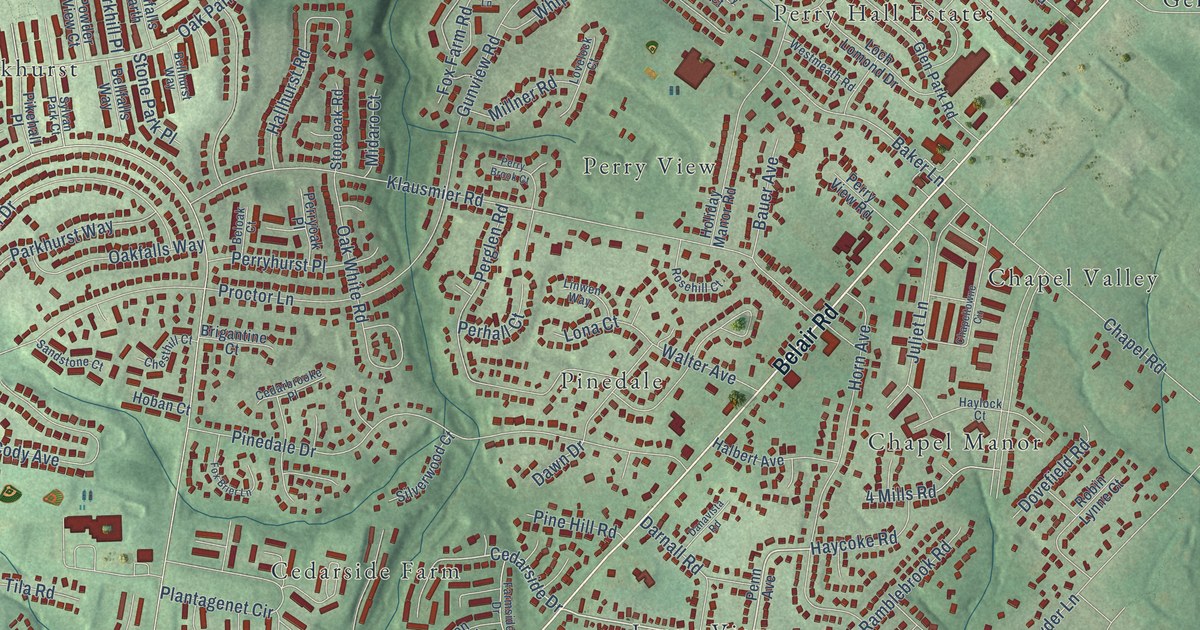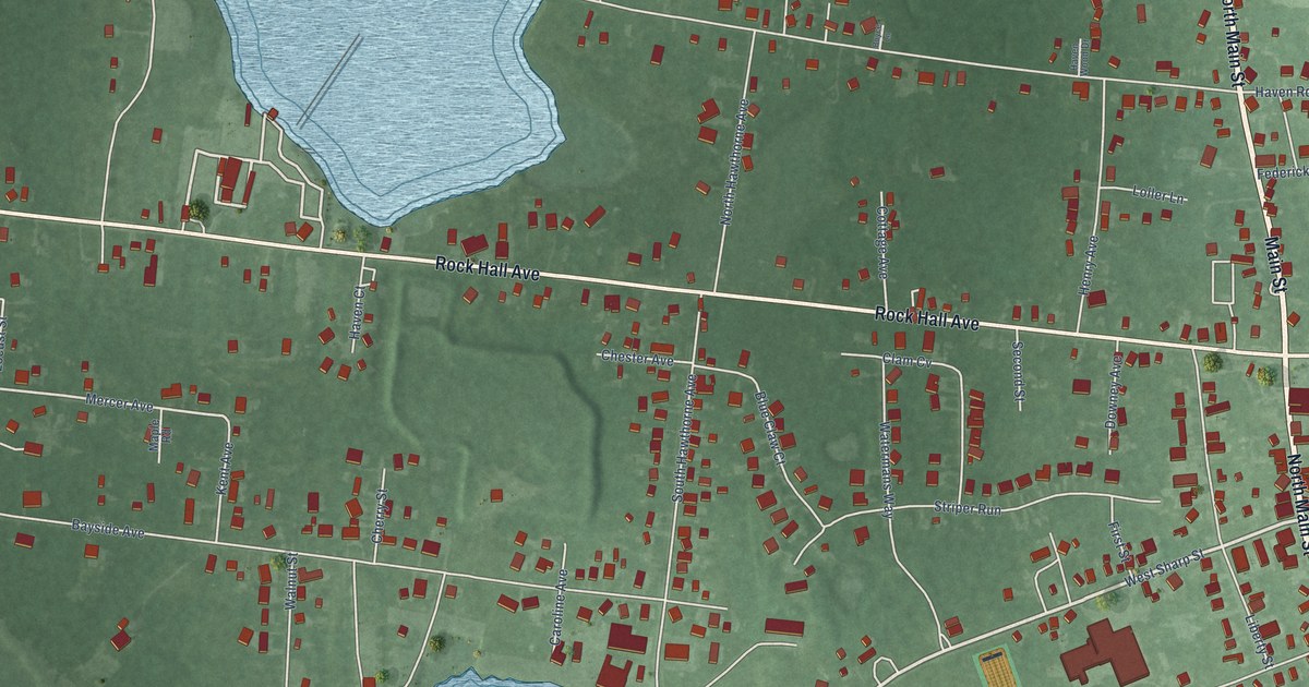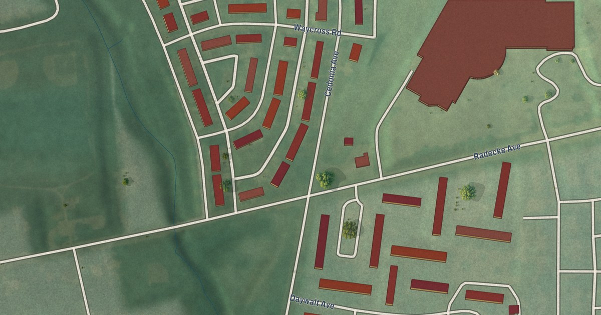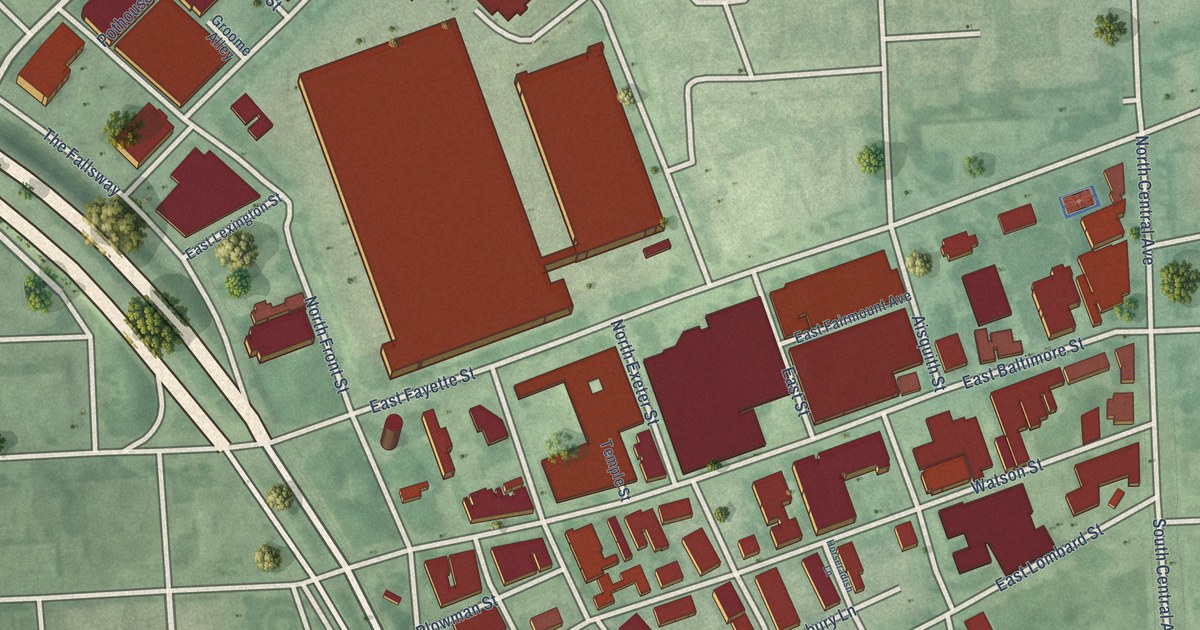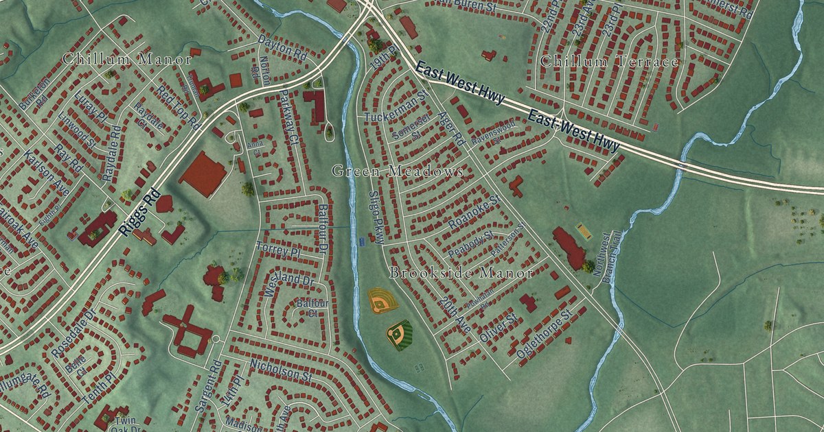
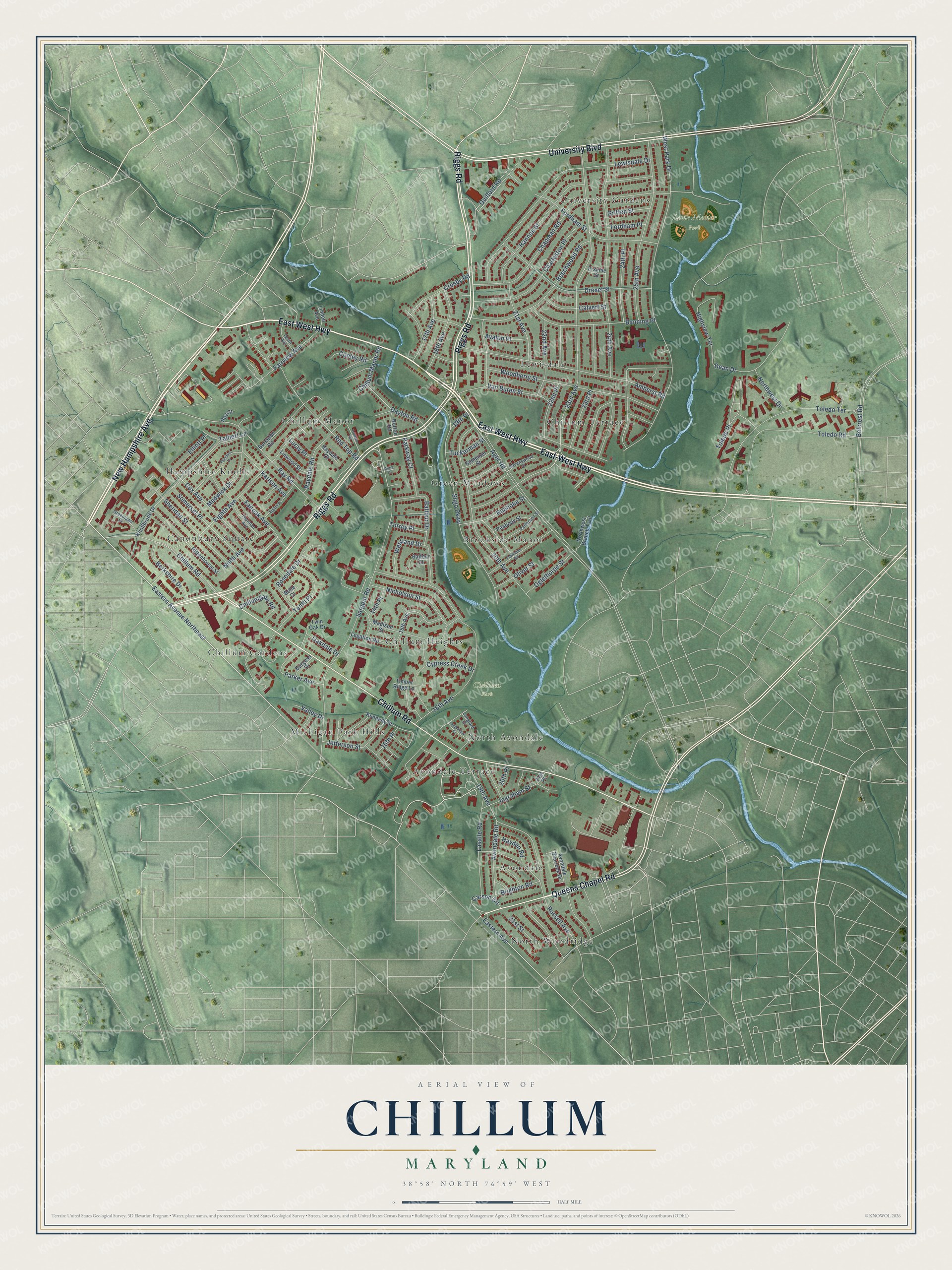
This beautifully detailed map of Chillum, Maryland was created in 2026 using aerial imagery combined with modern topographical, census, street and landmark data. It's a modern aerial view of Chillum in Prince George's County, Maryland, that combines modern data with a vintage aesthetic. The roads feature printed names, and if you look closely you can find your exact house accurately shown in its correct location.
Explore an aerial view of Chillum, Maryland
On this map you'll find Chillum Park, Lane Manor Park, Chillum Terrace, North Woodridge, Chillum Manor, Canonbury Square, Brookside Manor, Michigan Park Hills, Avondale Terrace, Hampshire Knolls, Chillum Gardens, Avondale, and more. Each red shape is a building, so zoom in on the preview and look for yours.
Chillum is a community in Prince George's County. The Census Bureau counted 36,039 people here in 2020. The map prints the town name in its title panel, with the coordinates below it.
Take a closer look at the Chillum map
Names on this map
These names are printed on this map.
Places: Chillum Park, Lane Manor Park, Chillum Terrace, North Woodridge, Chillum Manor, Canonbury Square, Brookside Manor, Michigan Park Hills, Avondale Terrace, Hampshire Knolls, Chillum Gardens, Avondale, University Gardens, Lewisdale, Green Meadows, Chillum Heights and North Avondale.
Streets and roads: East West Highway, East-West Highway, New Hampshire Avenue, Riggs Road, University Boulevard, Chillum Road, Queens Chapel Road, Eastern Avenue Northeast, Drexel Street, Avalon Place, Guilford Road, 23rd Avenue.
More street names, A to Z
14th Place, 15th Avenue, 15th Place, 16th Avenue, 17th Avenue, 18th Avenue, 19th Avenue, 19th Place, 20th Avenue, 20th Place, 21st Avenue, 21st Place, 21st Street, 22nd Avenue, 22nd Place, 23rd Place, 24th Avenue, 24th Place, 25th Avenue, Ager Road, Amherst Road, Anna Court, Avondale Overlook Drive, Avondale Road, Balfour Court, Balfour Drive, Banning Place, Beechwood Road, Belcrest Road, Belle Court, Berkshire Drive, Brighton Road, Burgess Drive, Burketon Road, Calvert Street, Carson Circle, Chapman Road, Charleston Place, Chillumgate Road, Chillum Manor Road, Conley Road, Cox Avenue, Crosby Road, Cypress Creek Drive, Dayton Road, Dean Drive, Eastern Avenue, Eighth Avenue, Eighth Place, Elliott Place, Erskine Street, Fairoak Avenue, Fairview Avenue, Flanders Drive, Fordham Place, Fordham Street, Greenlawn Drive, Griffen Street, Hannon Street, Hayden Road, Highview Terrace, Ingraham Street, Jefferson Street, Karlson Avenue, Kennedy Street, Knollbrook Drive, Lasalle Road, Legation Road, Lewisdale Drive, Linden Avenue, Linwood Street, Longfellow Street, Longford Drive, Luray Place, Madison Street, Medwick Drive, Nicholson Street, Ninth Avenue, Northwest Branch Trail, Northwest Drive, Norton Road, Oakdale Drive, Oglethorpe Street, Oliver Street, Parker Avenue, Parkway Court, Patterson Street, Peabody Street, Powhatan Road, Ravenswood Street, Ray Court, Raydale Court, Raydale Road, Ray Road, Red Top Road, Rittenhouse Street, Roanoke Street, Rosedale Drive, Russell Avenue, Sargent Road, Sheridan Street, Sligo Parkway, Somerset Place, Somerset Street, Talbert Lane, Tenth Avenue, Tenth Place, Thurman Avenue, Timber Ridge Lane, Toledo Place, Toledo Road, Toledo Terrace, Torrey Place, Truman Road, Tuckerman Street, Twin Oak Drive, Valley Drive, Van Buren Street, Westland Drive, West Park Drive, Woodberry Street.
See it on a wall
The Chillum map as a framed print. Swipe for more.


Created by KNOWOL in 2026. The buildings are small red shapes, the roads carry their printed names, and shaded relief shows the shape of the land. The title panel reads "AERIAL VIEW OF CHILLUM, MARYLAND" with 38°58' NORTH 76°59' WEST.
Hang it in the hallway, the office or the cabin, or give it to someone who left Chillum and still calls it home. Open the preview and look for a street you know. See sizes and frames for the Chillum map.