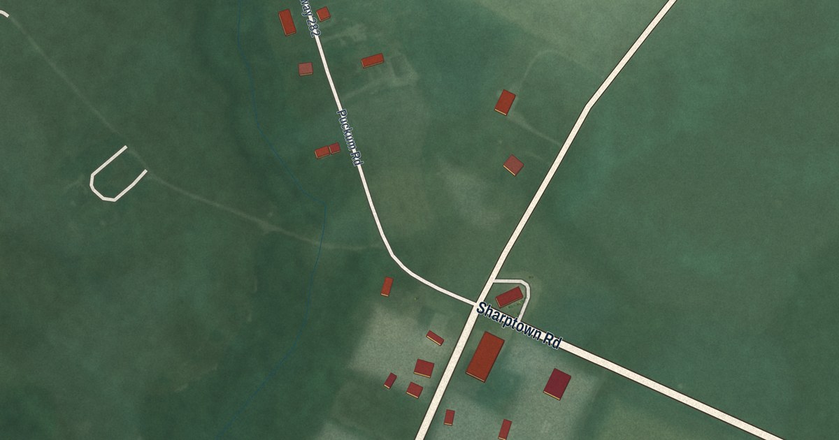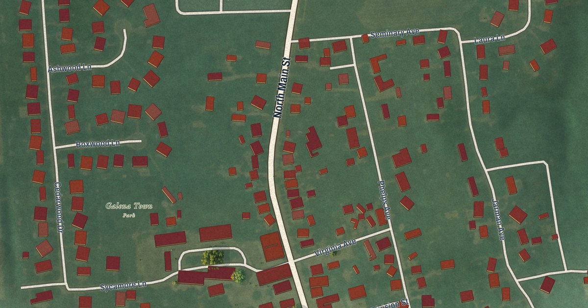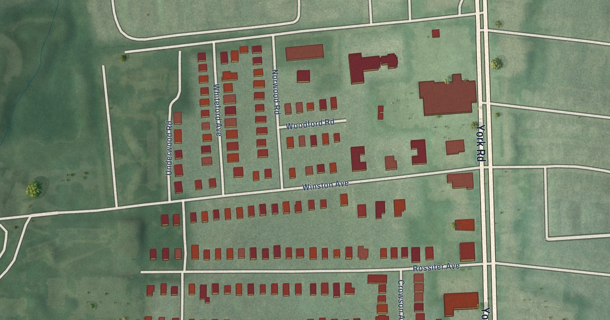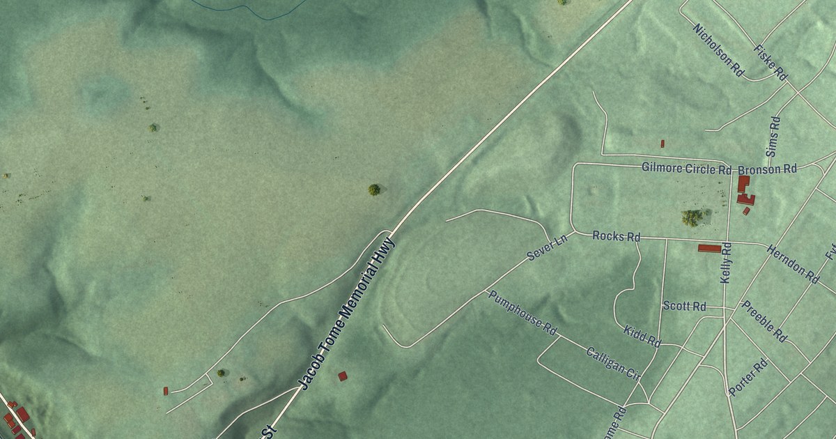
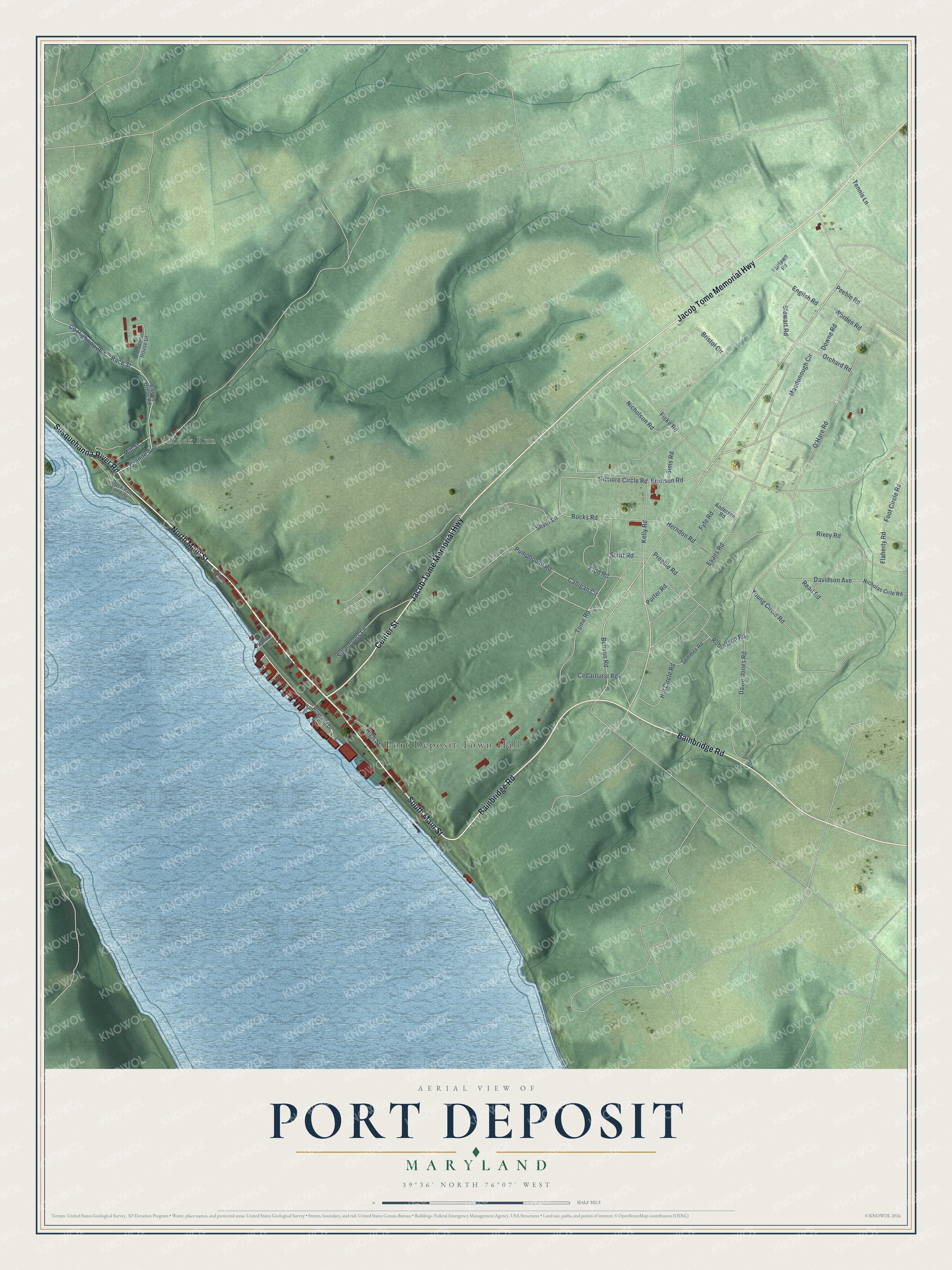
This beautifully detailed map of Port Deposit, Maryland was created in 2026 using aerial imagery combined with modern topographical, census, street and landmark data. It's a modern aerial view of Port Deposit in Cecil County, Maryland, that combines modern data with a vintage aesthetic. The roads feature printed names, and if you look closely you can find your exact house accurately shown in its correct location.
Explore an aerial view of Port Deposit, Maryland
On this map you'll find Port Deposit Town Hall, Rock Run, North Main Street, South Main Street, Jacob Tome Memorial Highway, Bainbridge Road, Center Street, Susquehanna River Road, Tome Road, Benson Road, Rocks Road, Sever Lane, and more. Each red shape is a building, so zoom in on the preview and look for yours.
Here is a piece of Port Deposit history, in the words of the record. The National Register of Historic Places puts it this way: "During
the 1950's record hops and square dances were held on the first floor. .-:,- – ,- -: -' : '.-
The Port Deposit Heritage, Inc: intends to restore the
building to its 1914 appearance and use the Paw Paw. for a jLibrary .
and museum. ."
Port Deposit is a town in Cecil County. The Census Bureau counted 614 people here in 2020.
Take a closer look at the Port Deposit map
Names on this map
These names are printed on this map.
Places: Port Deposit Town Hall and Rock Run.
Streets and roads: North Main Street, South Main Street, Jacob Tome Memorial Highway, Bainbridge Road, Center Street, Susquehanna River Road, Tome Road, Benson Road, Rocks Road, Sever Lane, Granite Avenue, County Highway 269.
More street names, A to Z
Anderson Road, Bristol Circle, Bronson Road, Calligan Circle, Cedarhurst Road, Davidson Avenue, Davie Jones Road, Downe Road, Engilsh Road, Evans Road, Fairlawn Road, Fiske Road, Flaherty Road, Foot Circle Road, Fyfe Road, Gilmore Circle Road, Herndon Road, High Street, Hill Circle Road, Kelly Road, Kidd Road, Liberty Grove Road, Macdonough Circle, Mill Street, Nicholas Cirle Road, Nicholson Road, O'Hare Road, Old School House Drive, Orchard Road, Peeble Road, Porter Road, Preeble Road, Pumphouse Road, Race Street, Read Road, River Drive, Rixey Road, Robertson Road, Rock Run Landing, Rowland Drive, Scott Road, Semmes Road, Silvercross Lane, Sims Road, Stewart Road, Tennis Lane, Vanort Drive, Worden Road, Young Circle Road.
See it on a wall
The Port Deposit map as a framed print. Swipe for more.


Created by KNOWOL in 2026. The buildings are small red shapes, the roads carry their printed names, and shaded relief shows the shape of the land. The title panel reads "AERIAL VIEW OF PORT DEPOSIT, MARYLAND" with 39°36' NORTH 76°07' WEST.
It suits a den, a classroom or a front hall, and it makes a gift for anyone with Port Deposit roots. Open the preview and find the block you know. See sizes and frames for the Port Deposit map.