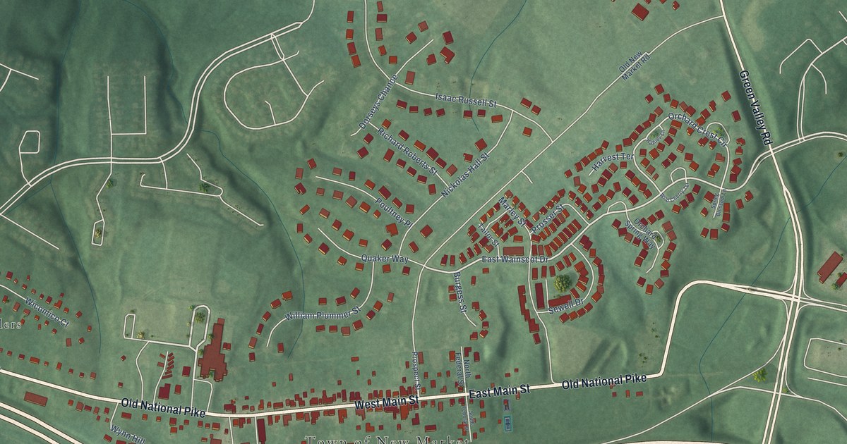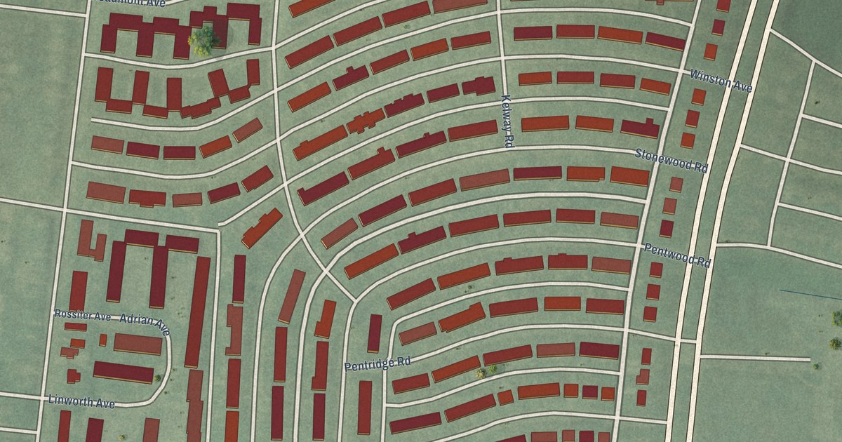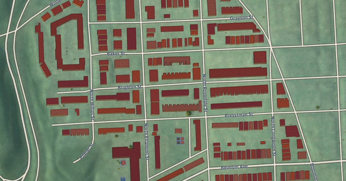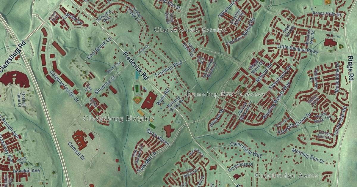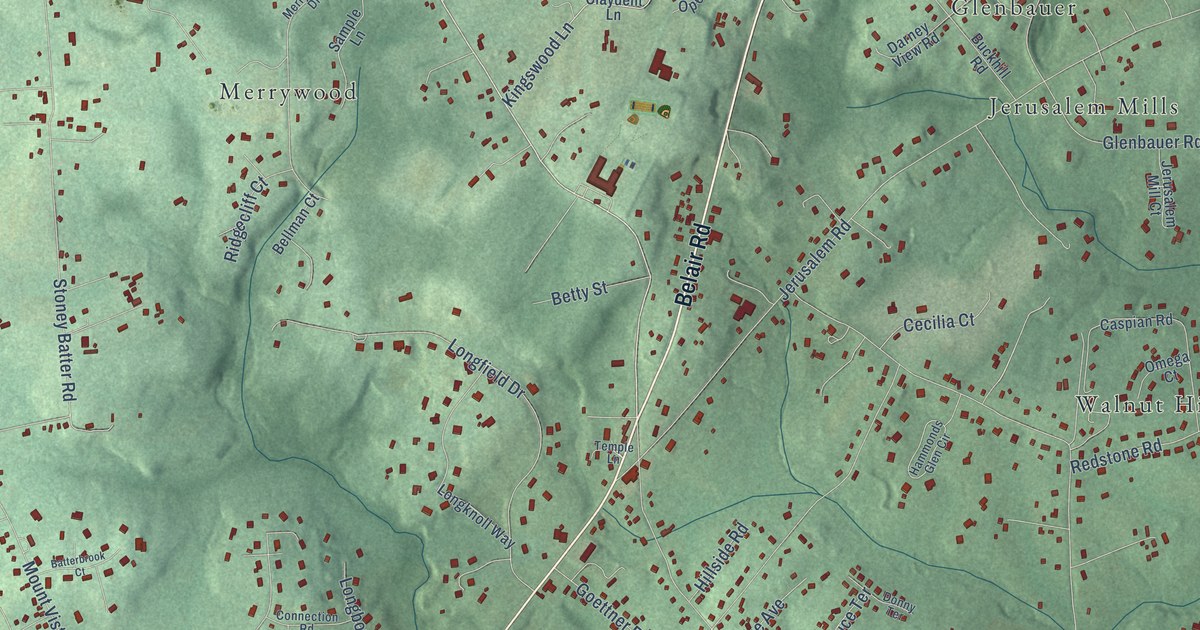
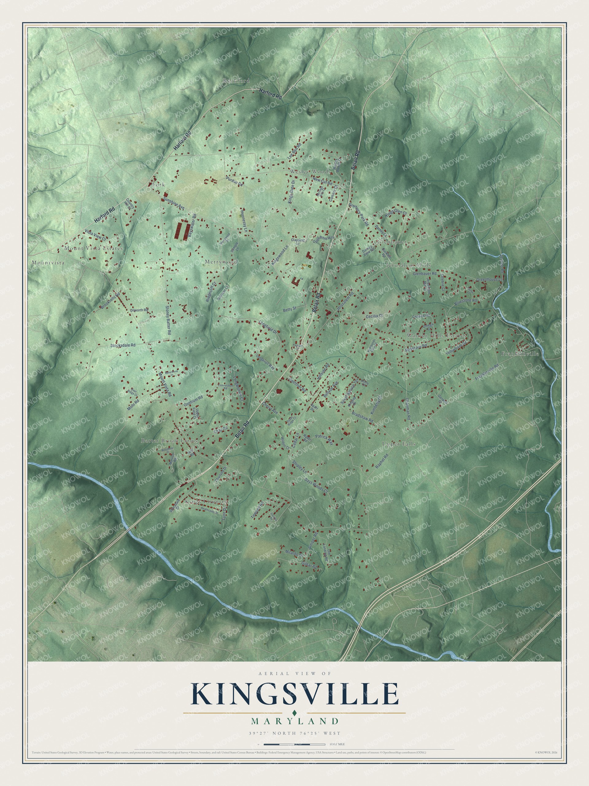
This beautifully detailed map of Kingsville, Maryland was created in 2026 using aerial imagery combined with modern topographical, census, street and landmark data. It's a modern aerial view of Kingsville in Baltimore County, Maryland, that combines modern data with a vintage aesthetic. The roads feature printed names, and if you look closely you can find your exact house accurately shown in its correct location.
Explore an aerial view of Kingsville, Maryland
On this map you'll find Merrywood, Kings Country, Franklinville, Reckford, Upper Falls, Mountvista, Glenbauer, Fork, Wesley Woods, Walnut Hills Estates, Batter Brook Farms, Mount Vista Estates, and more. Each red shape is a building, so zoom in on the preview and look for yours.
Here is a piece of Kingsville history. Kingsville grew up as a crossroads village on the Baltimore and Jerusalem Turnpike. In the 1800s it had churches, a blacksmith and a tavern store among the farms, and St. John's Episcopal Church built its first chapel there in 1817 under parishioner Edward Day. Later the old turnpike became Belair Road, part of US 1, and Kingsville changed from a farm village into a home for people working in Baltimore and Bel Air. That's from the Maryland Historical Trust.
Kingsville is a community in Baltimore County. The Census Bureau counted 4,358 people here in 2020.
Take a closer look at the Kingsville map
Names on this map
These names are printed on this map.
Places: Merrywood, Kings Country, Franklinville, Reckford, Upper Falls, Mountvista, Glenbauer, Fork, Wesley Woods, Walnut Hills Estates, Batter Brook Farms, Mount Vista Estates and Jerusalem Mills.
Streets and roads: Belair Road, Harford Road, Sunshine Avenue, Gilbar Road, Mount Vista Road, Cedar Lane, Jerusalem Road, New Cut Road, Franklinville Road, Stoney Batter Road, Raphel Road, Chapman Road.
More street names, A to Z
Batterbrook Court, Bayswater Road, Bellman Court, Bellvue Avenue, Betty Street, Bluestone Road, Bradshaw Road, Brookrolls Road, Buckhill Road, Caspian Road, Cecilia Court, Cedar Ridge Court, Celebrie Court, Charlund Drive, Cheryl Avenue, Claydent Lane, Connection Road, Connor Court, Country Hill Court, Crosslea Road, Darney Court, Darney View Road, Days Woods Court, Dilworth Road, Donny Terrace, Elray Road, Fischer Court, Gerwell Court, Glenbauer Road, Goettner Road, Gontrum Road, Greenhouse Lane, Gremecy Park Road, Hammonds Glen Circle, Heathcoate Drive, Hennessy Lane, Heritage Hills Court, Hillside Road, Holt Road, Jericho Road, Jerusalem Mill Court, Juniper Road, Kimberly Court, Kings Gate Drive, Kings Glen Court, Kingswood Lane, Kingtop Drive, Lee Ben Road, Longbottom Court, Longfield Drive, Longknoll Way, Lynn Drive, Marvon Road, Merrywood Drive, Milardo Drive, Mohr Road, Old Landing Road, Omega Court, Open Bible Way, Over Ridge Court, Patrick Way, Purdue Road, Redstone Road, Ridgecliff Court, Ryder Road, Sample Lane, Sheradale Drive, Shipley Lane, Silver Spruce Terrace, Sparr Drive, Stocksdale Road, Temple Lane, Towood Road, Upper Field Court, Vista View Court, Wesley Woods Court, Wildon Court, Woodmar Court, Yellowstone Road.
See it on a wall
The Kingsville map as a framed print. Swipe for more.


Created by KNOWOL in 2026. The buildings are small red shapes, the roads carry their printed names, and shaded relief shows the shape of the land. The title panel reads "AERIAL VIEW OF KINGSVILLE, MARYLAND" with 39°27' NORTH 76°25' WEST.
It suits a den, a classroom or a front hall, and it makes a gift for anyone with Kingsville roots. Open the preview and find the block you know. See sizes and frames for the Kingsville map.