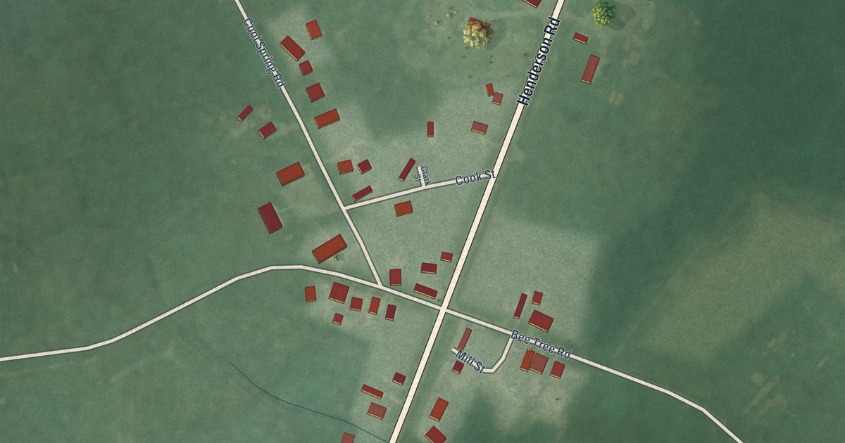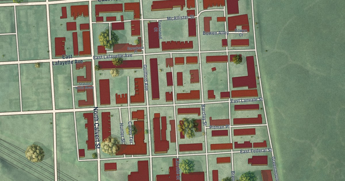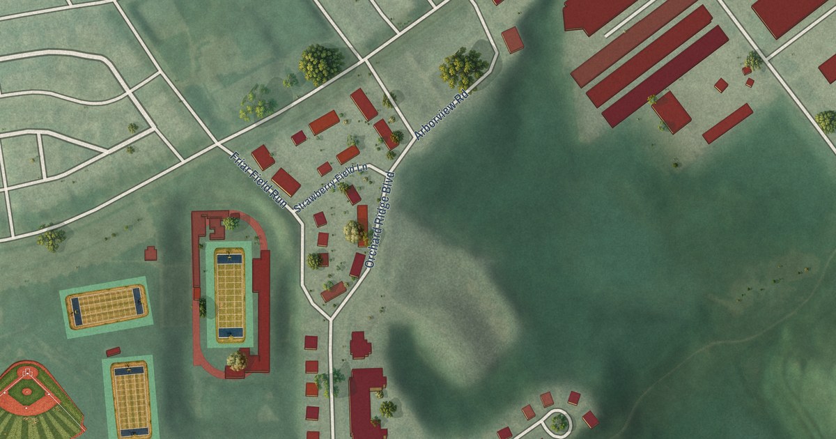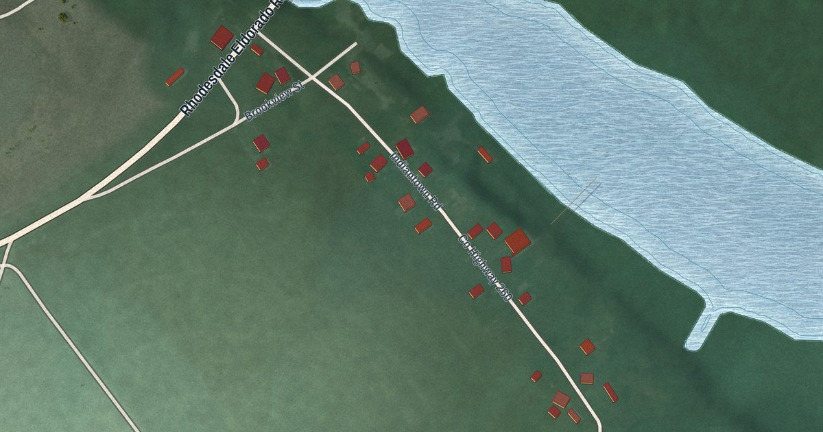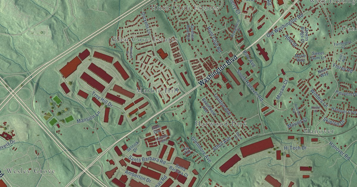
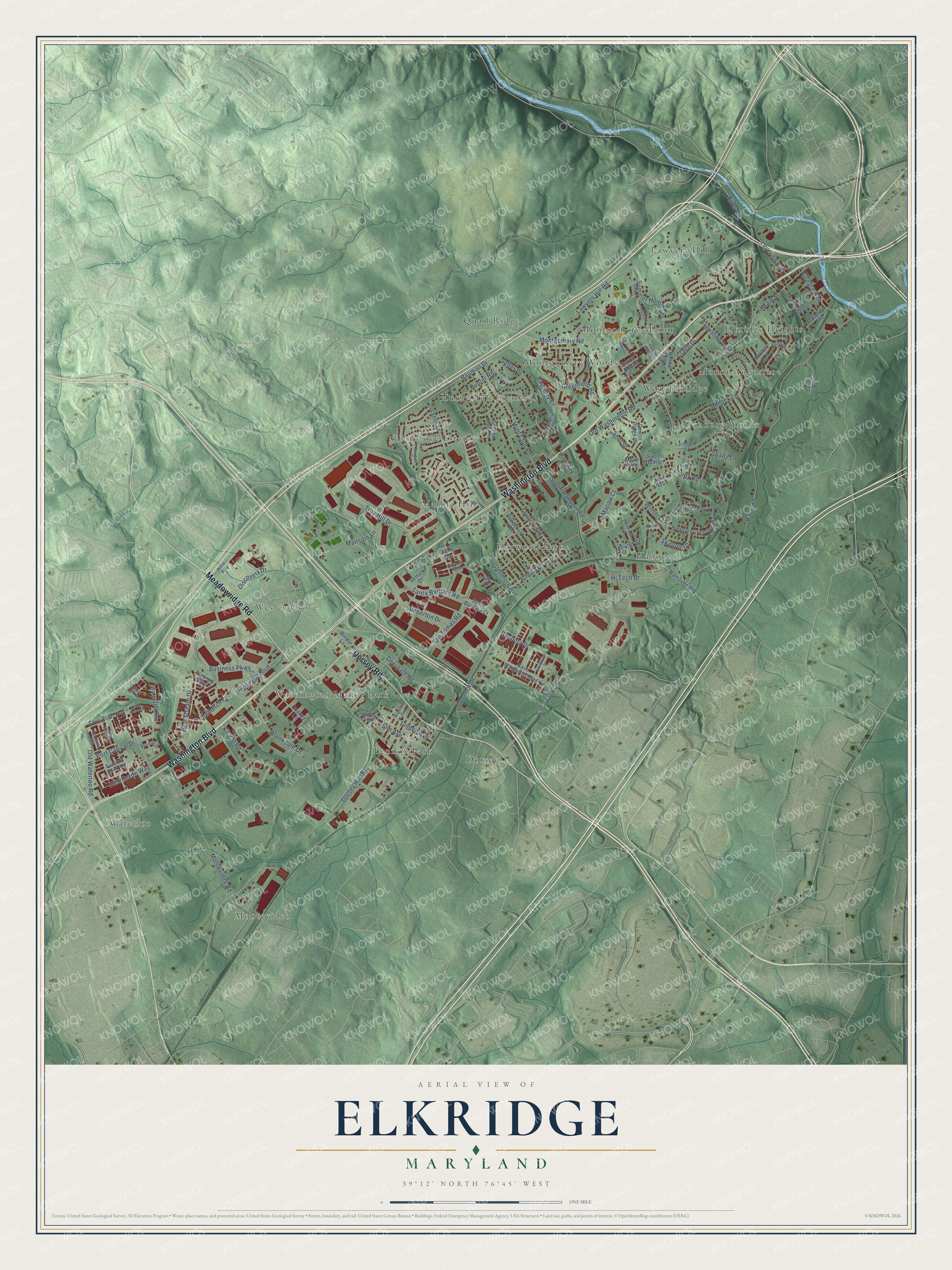
This beautifully detailed map of Elkridge, Maryland was created in 2026 using aerial imagery combined with modern topographical, census, street and landmark data. It's a modern aerial view of Elkridge in Howard County, Maryland, that combines modern data with a vintage aesthetic. The roads feature printed names, and if you look closely you can find your exact house accurately shown in its correct location.
Explore an aerial view of Elkridge, Maryland
On this map you'll find Canbury Woods, Dorsey, Elkridge Heights, Glen Cove Estates, Hanover, Harwood Park, Hunt Club Estates, Lawyers Hill, Lennox Park, Marble Hill, Montevideo, Montgomery Manor, and more. Each red shape is a building, so zoom in on the preview and look for yours.
Every town has a first chapter, and Elkridge is no exception. The National Register of Historic Places puts it this way: "The buildings comprising the present Elkridge Furnace Complex
were in all likelihood constructed during the Ellicotts1 tenure."
Elkridge is a community in Howard County.
Take a closer look at the Elkridge map
Names on this map
These names are printed on this map.
Places: Canbury Woods, Dorsey, Elkridge Heights, Glen Cove Estates, Hanover, Harwood Park, Hunt Club Estates, Lawyers Hill, Lennox Park, Marble Hill, Montevideo, Montgomery Manor, Montgomery Woods, Mount Augustine, Quail Ridge, Washington Manor Park, Waterloo, Wesley Grove and West Elkridge.
Streets and roads: Washington Boulevard, Dorsey Road, Meadowridge Road, Business Parkway, Race Road, Lawyers Hill Road, Troy Hill Drive, Old Washington Road, Hanover Road, Montevideo Road, Dorsey Run Road, Coca Cola Drive.
More street names, A to Z
Abel Street, Adcock Lane, Alchemy Way, Amberton Drive, Anderson Avenue, Athol Avenue, Augustine Avenue, Banbury Drive, Bauman Drive, Bayberry Court, Beechfield Avenue, Beverly Drive, Binder Lane, Blue Stream Drive, Bonnie View Lane, Brookdale Drive, Cedar Grove Lane, Church Avenue, Claire Drive, Cooney Lane, Cove Point Way, Daniel John Drive, Darby Downs, Deep Falls Way, Deerpath Road, Discovery Drive, Doctor Patel Drive, Downs Ridge Court, Ducketts Lane, Elk Forest Court, Elm Avenue, Euclid Avenue, Fairbourne Court, Fairlee Road, First Avenue, Florey Road, Furnace Avenue, Glenmore Avenue, Goshen Hunt Road, Greenfield Road, Grouse Road, Hanover Crossing Way, Hearthside Way, Hi Tech Drive, Hosta Court, Hunt Club Road, Hunter Road, Iron Ore, Ivy Terrace, Kane Way, Kit Kat Road, Kristin Drive, Latchlift Court, Latrobe Falls, Leaf Lane, Levering Avenue, Linden Avenue, Loudon Avenue, Lyndsey Way, Macaw Court, Magnolia Avenue, Main Street, Mansion Lane, Merle Way, Montgomery Road, Mound Street, Noah Way, Oak Grove Way, Oconnor Drive, Old Waterloo Road, Paradise Avenue, Patuxent Quarter Road, Pine Avenue, Port Capital Drive, Quidditch Lane, Railroad Avenue, Rainbow Drive, River Road, Roosevelt Boulevard, Rowanberry Drive, Saint Margarets Boulevard, Santa Barbara Court, Santa Barbara Road, San Tomas Road, Selnick Drive, Setter Drive, Shady Lane, Skipton Drive, South Hanover Road, Southmoor Street, Summer Home Terrace, Summit Rock Road, Sweet Gum Lane, Toomey Lane, Valley Oak Drive, Water Oak Road, Winters Lane.
Created by KNOWOL in 2026. The buildings are small red shapes, the roads carry their printed names, and shaded relief shows the shape of the land. The title panel reads "AERIAL VIEW OF ELKRIDGE MARYLAND" with 39°12' NORTH 76°45' WEST.
Hang it in the hallway, the office or the cabin, or give it to someone who left Elkridge and still calls it home. Open the preview and look for a street you know. See sizes and frames for the Elkridge map.