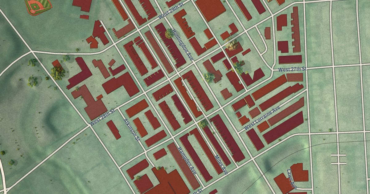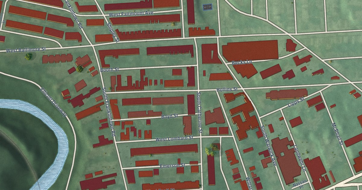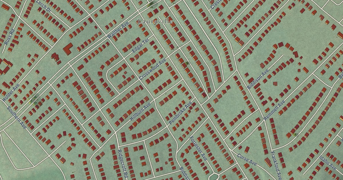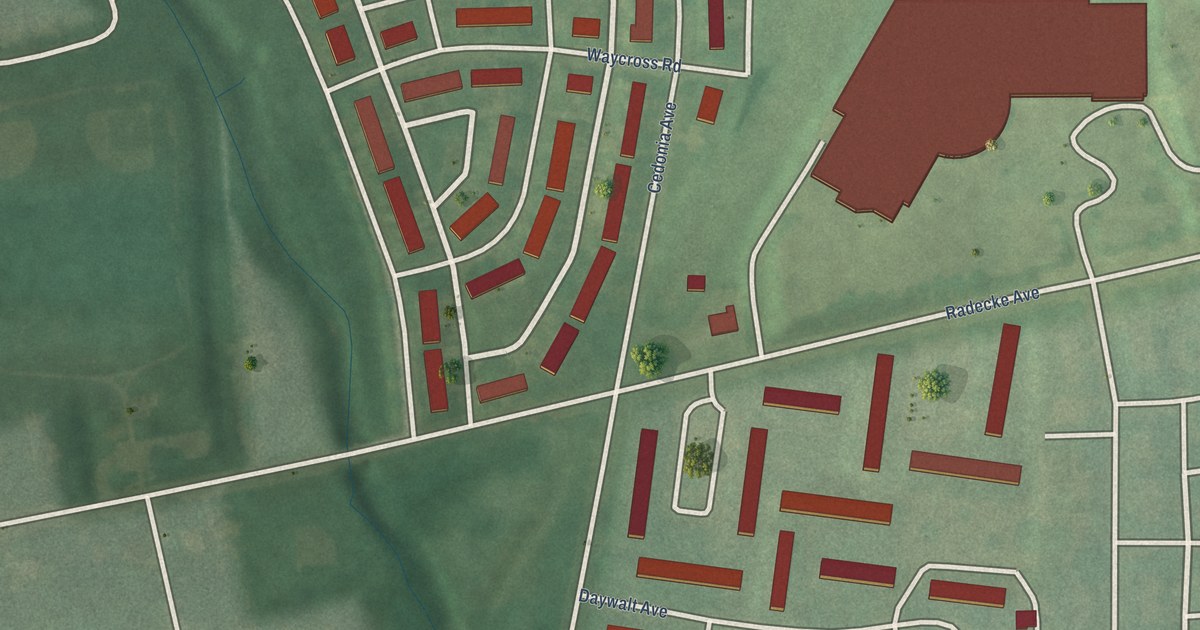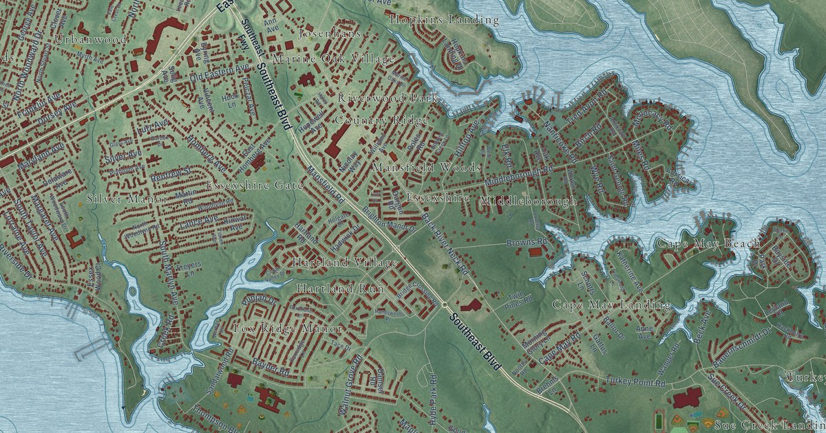
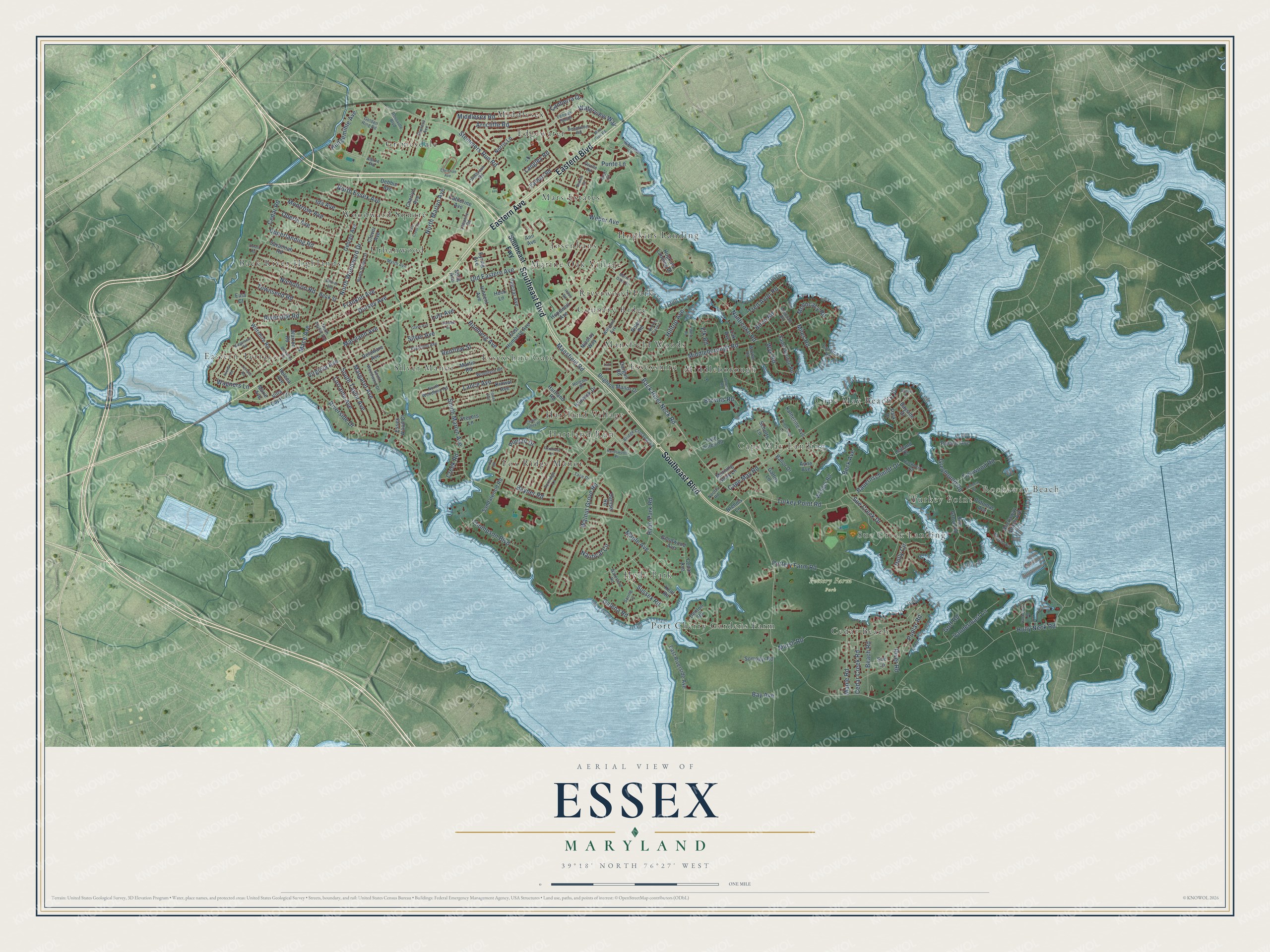
This beautifully detailed map of Essex, Maryland was created in 2026 using aerial imagery combined with modern topographical, census, street and landmark data. It's a modern aerial view of Essex in Baltimore County, Maryland, that combines modern data with a vintage aesthetic. The roads feature printed names, and if you look closely you can find your exact house accurately shown in its correct location.
Explore an aerial view of Essex, Maryland
On this map you'll find Rockaway Beach, Pottery Farm Park, Back River Highlands, Cape May Beach, Cape May Landing, Cedar Beach, Country Ridge, Eastern Terrace, Edgewater, Essexshire, Essexshire Gate, Fox Ridge Manor, and more. Each red shape is a building, so zoom in on the preview and look for yours.
Essex has a story worth telling. The National Register of Historic Places puts it this way: "Ballestone Mansion is one of the few farm-
related buildings to have survived in this area of rapid
twentieth-century development."
Essex is a community in Baltimore County.
Take a closer look at the Essex map
Names on this map
These names are printed on this map.
Places: Rockaway Beach, Pottery Farm Park, Back River Highlands, Cape May Beach, Cape May Landing, Cedar Beach, Country Ridge, Eastern Terrace, Edgewater, Essexshire, Essexshire Gate, Fox Ridge Manor, Grimesdale, Hartland Run, Hartland Village, Hopkins Landing, Hyde Park, Josenhans, Mansfield Woods, Marine Oak Village, Mars Estates, Middleborough, Middlesex, Port Cherry Gardens Farm, Riverwood Park, Silver Manor, Sue Creek Landing, Turkey Point, Urbanwood and Woodward Square.
Streets and roads: Southeast Boulevard, Eastern Boulevard, Eastern Avenue, Back River Neck Road, Stemmers Run Road, Old Eastern Avenue, Punte Lane, Mace Avenue, Lance Avenue, Wagners Lane, South Marlyn Avenue, Middleborough Road.
More street names, A to Z
Alpine Road, Ann Avenue, Anne Avenue, Annetta Road, Antietam Road, Armstrong Lane, Arncliffe Road, Avenal Road, Ballor Drive, Bauernschmidt Drive, Bay Avenue, Bayner Road, Bayside Drive, Beach Avenue, Beach Road, Beck Avenue, Beck Street, Berkshire Road, Birch Road, Branch Street, Brehms Lane, Brett Court, Bridge Crossing Road, Brighton Manor Drive, Browns Road, Canberra Drive, Cape May Road, Catherine Avenue, Cedar Avenue, Cedar Creek Road, Cedar Road, Cedar Valley Place, Cherlyn Avenue, Chrismar Lane, Christian Avenue, Clover Avenue, Corsica Road, Creek Road, Damsel Road, Dargun Road, Debbie Avenue, Delaware Avenue, Denton Road, Dorell Road, Dorsey Avenue, Earhart Road, East Homberg Avenue, East Riverside Avenue, Elk Road, Essex Wood Court, Eula Court, Eyring Avenue, Fenway South, Foxchase Lane, Foxridge Lane, Frankewitz Road, Franklin Avenue, Freyers Lane, Galena Road, Garden Drive, Gattus Lane, George Avenue, Gerries Avenue, Glass Avenue, Goff Road, Golden Ring Road, Goodwood Avenue, Greyhound Road, Hackberry Road, Hadwick Drive, Haley Road, Handsworth Place, Hartland Road, Helena Avenue, Hengemihle Avenue, Hilltop Avenue, Hock Lane, Holgate Drive, Holly Circle, Holly Neck Road, Homberg Avenue, Hopewell Avenue, Hopkins Creek Lane, Hopkins Landing Drive, Hyde Park Road, Ida Avenue, Katherine Avenue, Kent Road, Kinwat Avenue, Langley Road, Leeanne Road, Leyland Court, Lorraine Avenue, Luff Court, Lutz Avenue, Mansfield Road, Maple Avenue, Maple Road, Margaret Avenue, Marie Avenue, Marine Oaks Drive, Marsh Road, Mars Run Road, Martin Drive, Martin Road, Maryland Avenue, Middlesex Road, Miles Road, Monocacy Road, Montrose Avenue, Morning Glory Lane, Myrth Avenue, Nanticoke Road, Nautical Circle, Nerbay Road, Nicholson Road, Nicolay Way, Noofts Road, Norris Lane, North Essex Avenue, North Marlyn Avenue, North Stuart Street, North Taylor Avenue, North Woodlynn Road, North Woodward Drive, Oak Avenue, Oberle Avenue, Orville Road, Park Drive, Pelczar Avenue, Platinum Avenue, Poles Road, Poplar Road, Potomac Avenue, Pottery Farm Road, Punjab Drive, Renfrew Street, Ridgemoor Road, River Road, Riverside Drive, Riverside Road, Rockaway Beach Avenue, Rosalie Avenue, Rossville Boulevard, Saint George Road, Sandalwood Road, Savannah Road, Schotts Lane, Seamaster Road, Selig Avenue, Seneca Road, Silver Avenue, Somogyi Road, Southeast Fwy, South Taylor Avenue, South Woodward Drive, Spring Lane, Sue Creek Drive, Sue Grove Road, Sue Lane, Sussex Road, Tace Drive, Terrace Road, Theresa Avenue, Thompson Boulevard, Tibsen Avenue, Tickwood Road, Townsend Road, Tred Avon Road, Turkey Point Road, Twin Pines Road, Upperlanding Road, Vale Crest Court, Vandermast Lane, Villa Capri Circle, Vincent Avenue, Virginia Avenue, Walnut Grove Road, Wanger Road, Warren Road, Waterford Road, Waterview Way, Weber Avenue, Welbrook Road, West Road, Williams Avenue, Wiltshire Road, Woodlynn Road, Worton Road, Wye Road.
Created by KNOWOL in 2026. The buildings are small red shapes, the roads carry their printed names, and shaded relief shows the shape of the land. The title panel reads "AERIAL VIEW OF ESSEX MARYLAND" with 39°18' NORTH 76°27' WEST.
It looks right in a kitchen, an office or a den, and it's a gift for anyone who grew up in Essex or moved away. Open the preview and find your street. See sizes and frames for the Essex map.