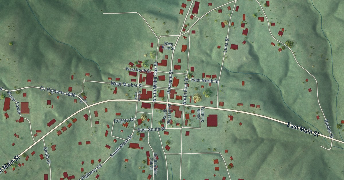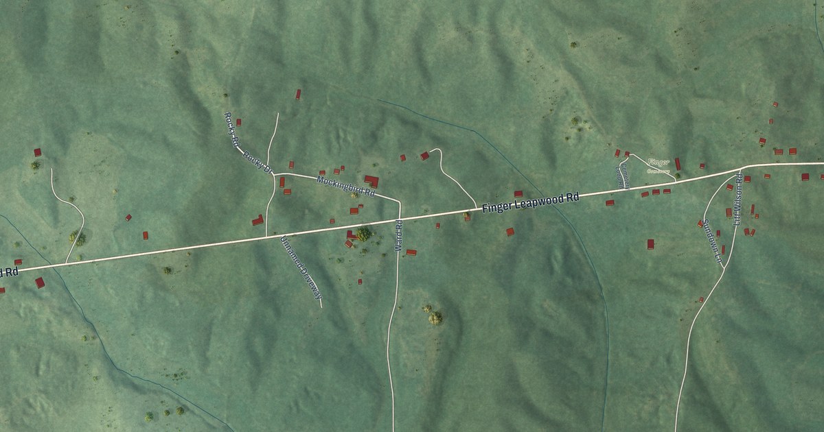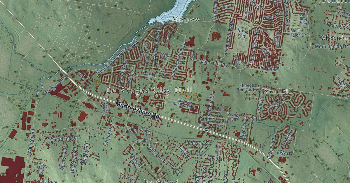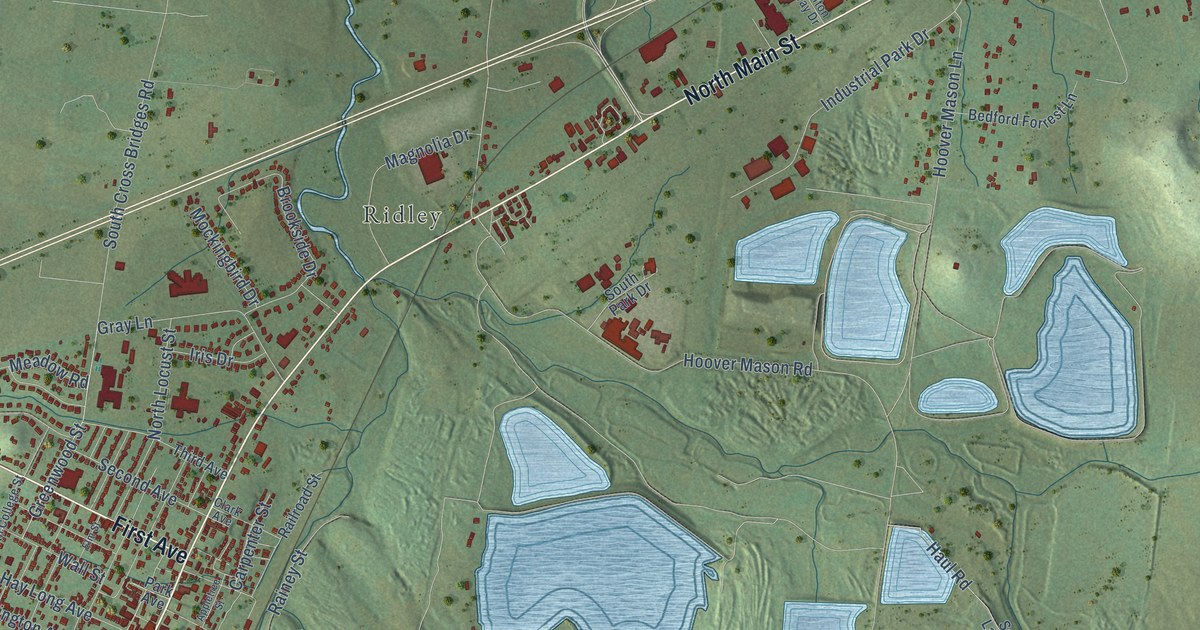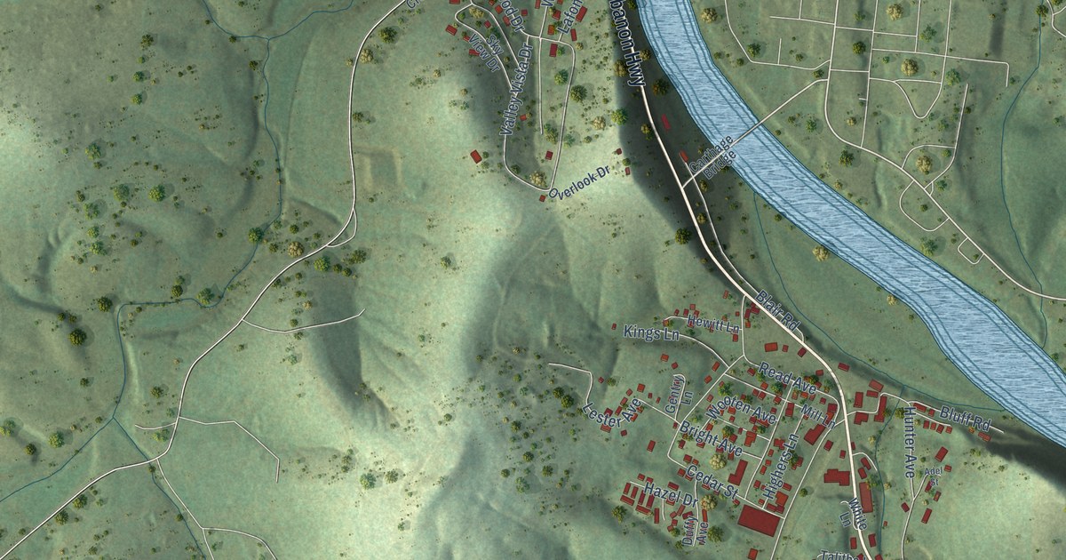
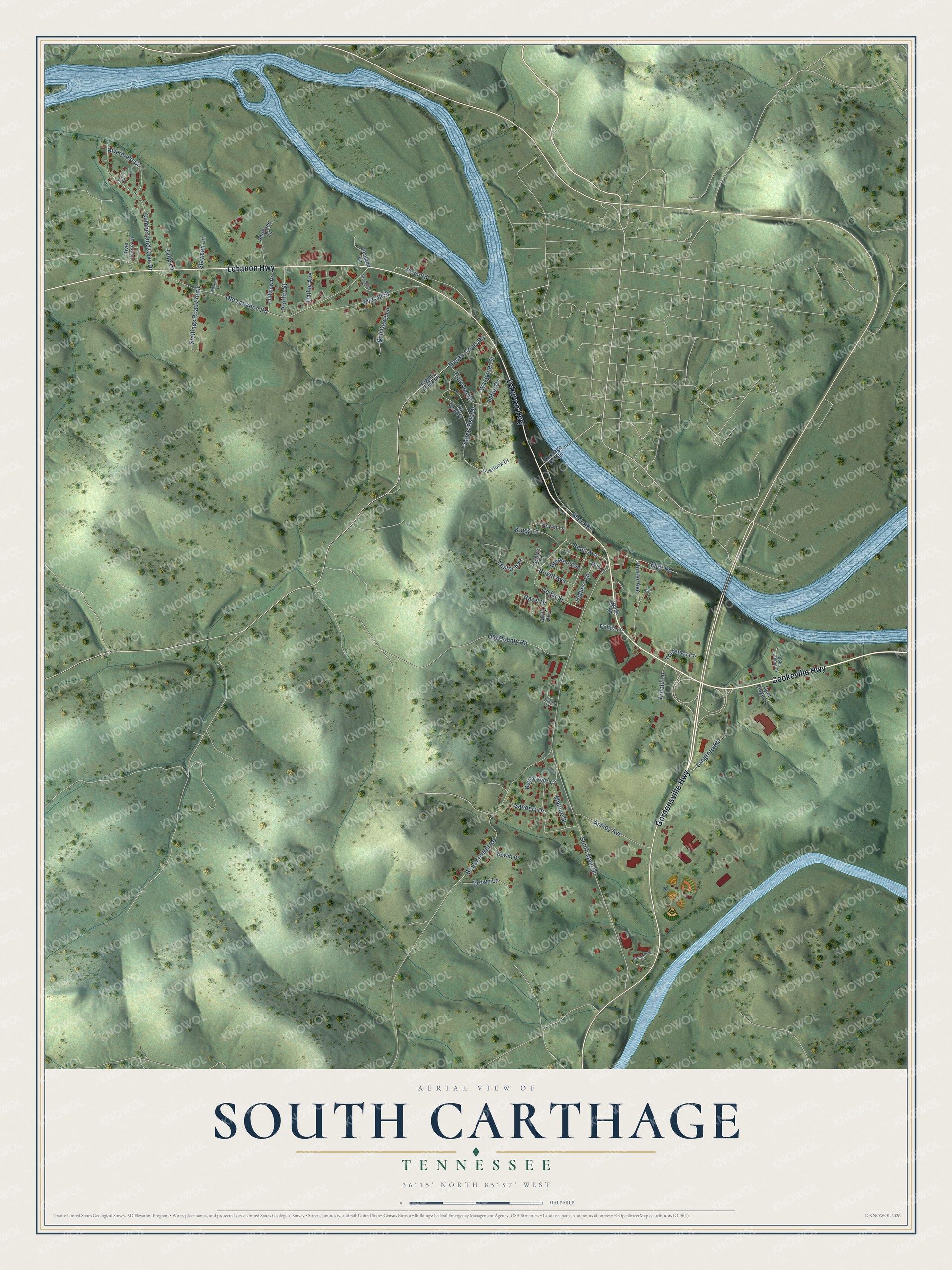
This beautifully detailed map of South Carthage, Tennessee was created in 2026 using aerial imagery combined with modern topographical, census, street and landmark data. It's a modern aerial view of South Carthage in Smith County, Tennessee, that combines modern data with a vintage aesthetic. The roads feature printed names, and if you look closely you can find your exact house accurately shown in its correct location.
Explore an aerial view of South Carthage, Tennessee
On this map you'll find Cookeville Highway, Gordonsville Highway, Lebanon Highway, South Main Street, Old Lebanon Road, Bradford Hill Road, Cumberland Cove Drive, Cedar Street, Hillwood Drive, McCall Street, Hunter Avenue, Waggoner Street, and more. Each red shape is a building, so zoom in on the preview and look for yours.
Here is a piece of South Carthage history, in the words of the record. The Tennessee Encyclopedia puts it this way: "South Carthage, just across the river from Carthage, emerged as the rail center for northern Smith County, and a bridge spanning the Cumberland replaced the obsolete ferries. Opened to the public on February 1, 1908, the new structure, built at a cost of sixty-four thousand dollars, was operated as a toll bridge."
South Carthage is a town in Smith County. The Census Bureau counted 1,490 people here in 2020.
Take a closer look at the South Carthage map
Names on this map
These names are printed on this map.
Streets and roads: Cookeville Highway, Gordonsville Highway, Lebanon Highway, South Main Street, Old Lebanon Road, Bradford Hill Road, Cumberland Cove Drive, Cedar Street, Hillwood Drive, McCall Street, Hunter Avenue, Waggoner Street.
More street names, A to Z
Adel Street, Arnold Lane, Ashley Avenue, Blair Road, Bluff Road, Bright Avenue, Brown Lane, Bull Dawg Lane, Carthage Bridge, Cliffview Drive, Deer Ridge Lane, Duffy Avenue, Gentry Lane, Gibbs Landing Drive, Givens Lane, Hailey Avenue, Hazel Drive, Hewitt Drive, Hewitt Lane, Highers Lane, Hogan's Creek Road, Hogan Creek Road, Kings Lane, Knoll Circle, Lafon Drive, Langford Road, Lester Avenue, Malone Street, Mill Lane, Old County Road, Overlook Drive, Penland Lane, Proffitt Street, Read Avenue, Reynolds Street, Rivercrest Circle, River Pointe Lane, River Road, Riverwood Circle, Rolling Hills Circle, Sanders Drive, Shetland Lane, Sky View Drive, Slayman Lane, Stallings Road South, Talitha Lane, Torrence Lane, Tulip Lane, Valley Vista Drive, White Lane, Wilburn Lane, Wooten Avenue.
Created by KNOWOL in 2026. The buildings are small red shapes, the roads carry their printed names, and shaded relief shows the shape of the land. The title panel reads "AERIAL VIEW OF SOUTH CARTHAGE TENNESSEE" with 36°15' NORTH 85°57' WEST.
It suits a den, a classroom or a front hall, and it makes a gift for anyone with South Carthage roots. Open the preview and find the block you know. See sizes and frames for the South Carthage map.