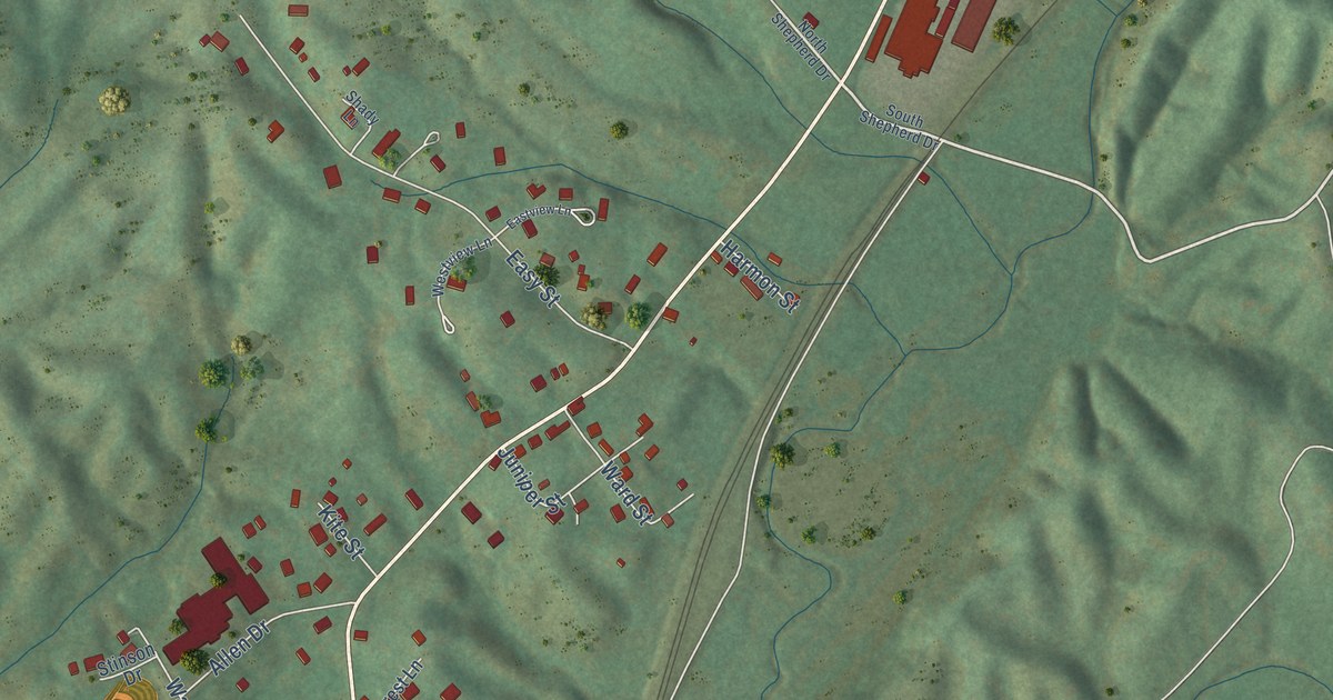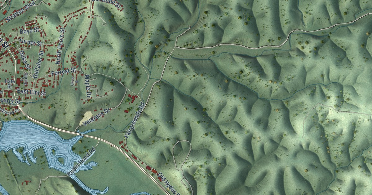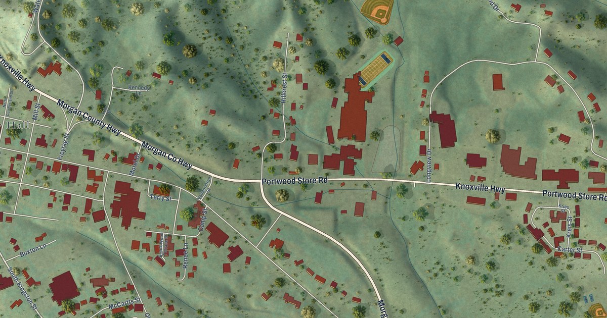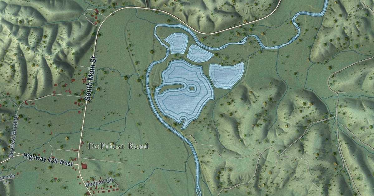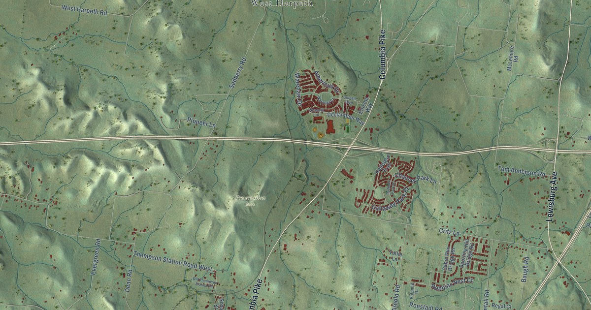
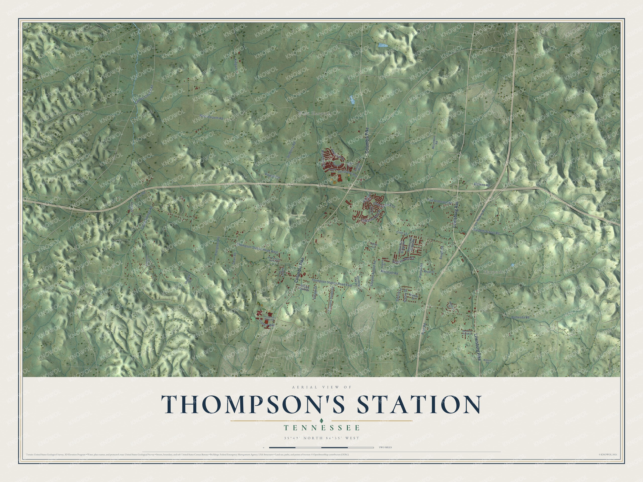
This beautifully detailed map of Thompson's Station, Tennessee was created in 2026 using aerial imagery combined with modern topographical, census, street and landmark data. It's a modern aerial view of Thompson's Station in Williamson County, Tennessee, that combines modern data with a vintage aesthetic. The roads feature printed names, and if you look closely you can find your exact house accurately shown in its correct location.
Explore an aerial view of Thompson's Station, Tennessee
On this map you'll find Harpeth, Heritage Park, Preservation Park, West Harpeth, Lewisburg Avenue, Columbia Pike, Lewisburg Pike, Harpeth School Road, Robbins Nest Court, Thompson Station Road West, Thompson Station Road East, Sedberry Road, and more. Each red shape is a building, so zoom in on the preview and look for yours.
Every town has a first chapter, and Thompson's Station is no exception. The Historical Marker Database puts it this way: "Dr. Thompson later inherited a portion of his father's land using it as the basis of his own cotton plantation. As he managed his farm land and practiced medicine, Dr. Thompson helped steer the Tennessee & Alabama Railroad through the area and the town was named in his honor in 1856."
Thompson's Station is a town in Williamson County. The Census Bureau counted 7,485 people here in 2020.
Take a closer look at the Thompson's Station map
Names on this map
These names are printed on this map.
Places: Harpeth, Heritage Park, Preservation Park and West Harpeth.
Streets and roads: Lewisburg Avenue, Columbia Pike, Lewisburg Pike, Harpeth School Road, Robbins Nest Court, Thompson Station Road West, Thompson Station Road East, Sedberry Road, Evergreen Road, Critz Lane, West Harpeth Road, Tom Anderson Road.
More street names, A to Z
Americus Drive, Baugh Road, Bethesda Road, Bittersweet Trail, Blackberry Estates Drive, Brenda Street, Cabin Run Bridge Road, Callaway Park Place, Carters Creek Pike, Cayce Springs Road, Chaucer Park Lane, Clayton Arnold Road, Country Haven Drive, Cowboy Lane, Dean Road, Declaration Way, Elliston Way, Fry Road, Hanover Drive, King Lane, Les Watkins Road, McLemore Road, Natoma Cr, Newark Lane, Old Thompson Station Road, Paddock Park Drive, Pantall Road, Pioneer Lane, Pratt Road, Pulpmill Drive, Redwood Trail, Regal Court, Ronstadt Road, School Street, Sherrie Lane, Skyview Lane, Sporting Hill Bridge Road, Stacey Street, Standing Oak Drive, Station South Drive, Thompson's Ridge Road, Tollgate Boulevard, Tollie Lane, Traders Way, Village Drive, Wareham Drive, Watkins Road, Wilhoite Road.
Created by KNOWOL in 2026. The buildings are small red shapes, the roads carry their printed names, and shaded relief shows the shape of the land. The title panel reads "AERIAL VIEW OF THOMPSON'S STATION TENNESSEE" with 35°49' NORTH 86°55' WEST.
Hang it in the hallway, the office or the cabin, or give it to someone who left Thompson's Station and still calls it home. Open the preview and look for a street you know. See sizes and frames for the Thompson’s Station map.