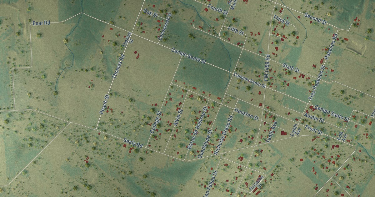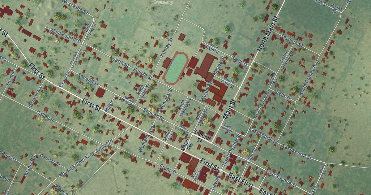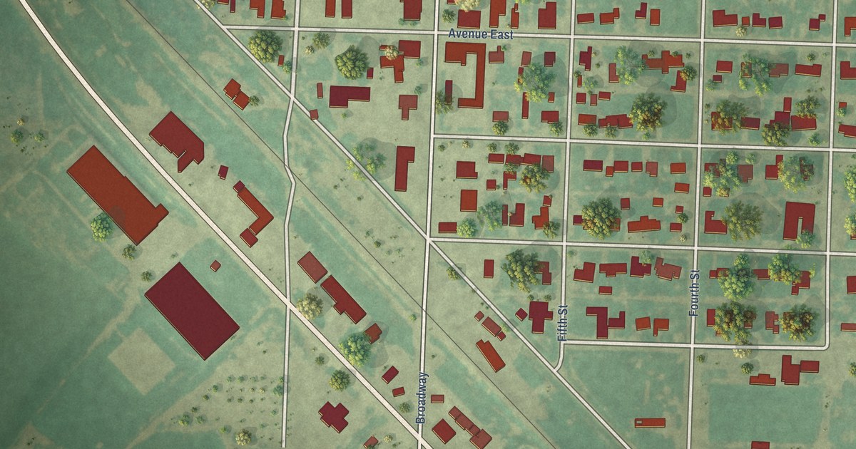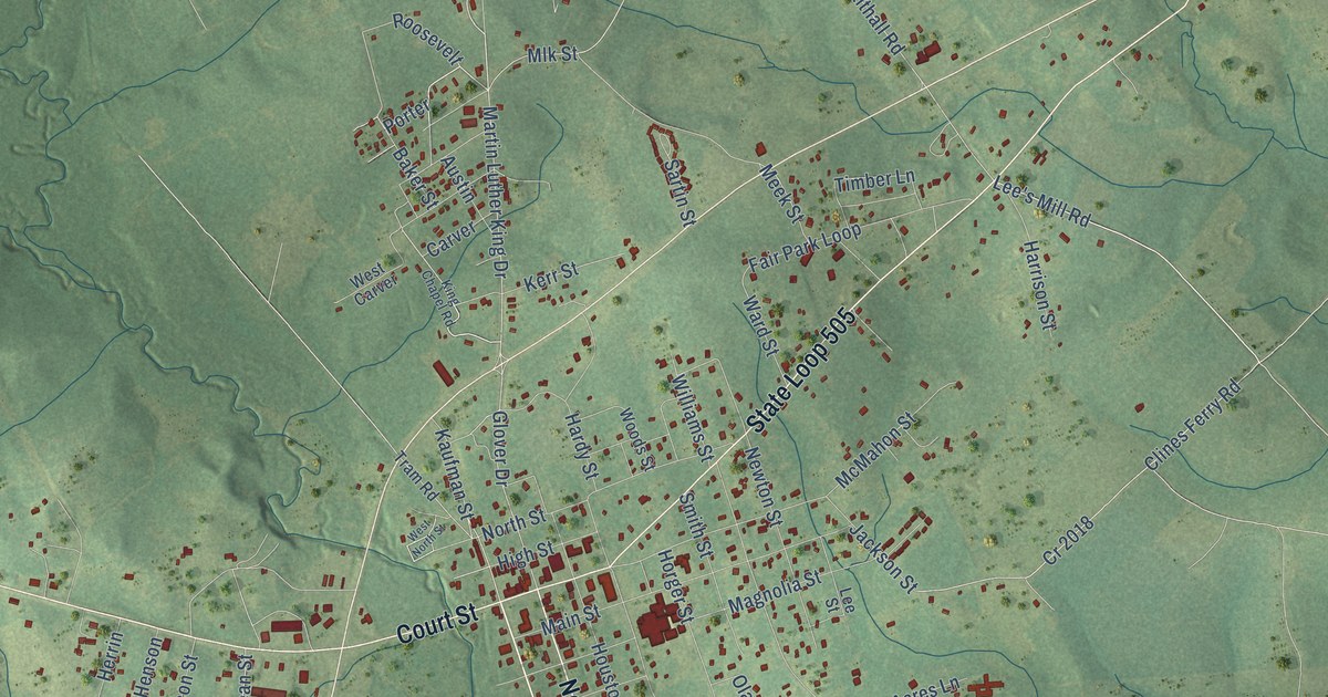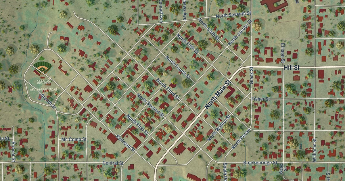
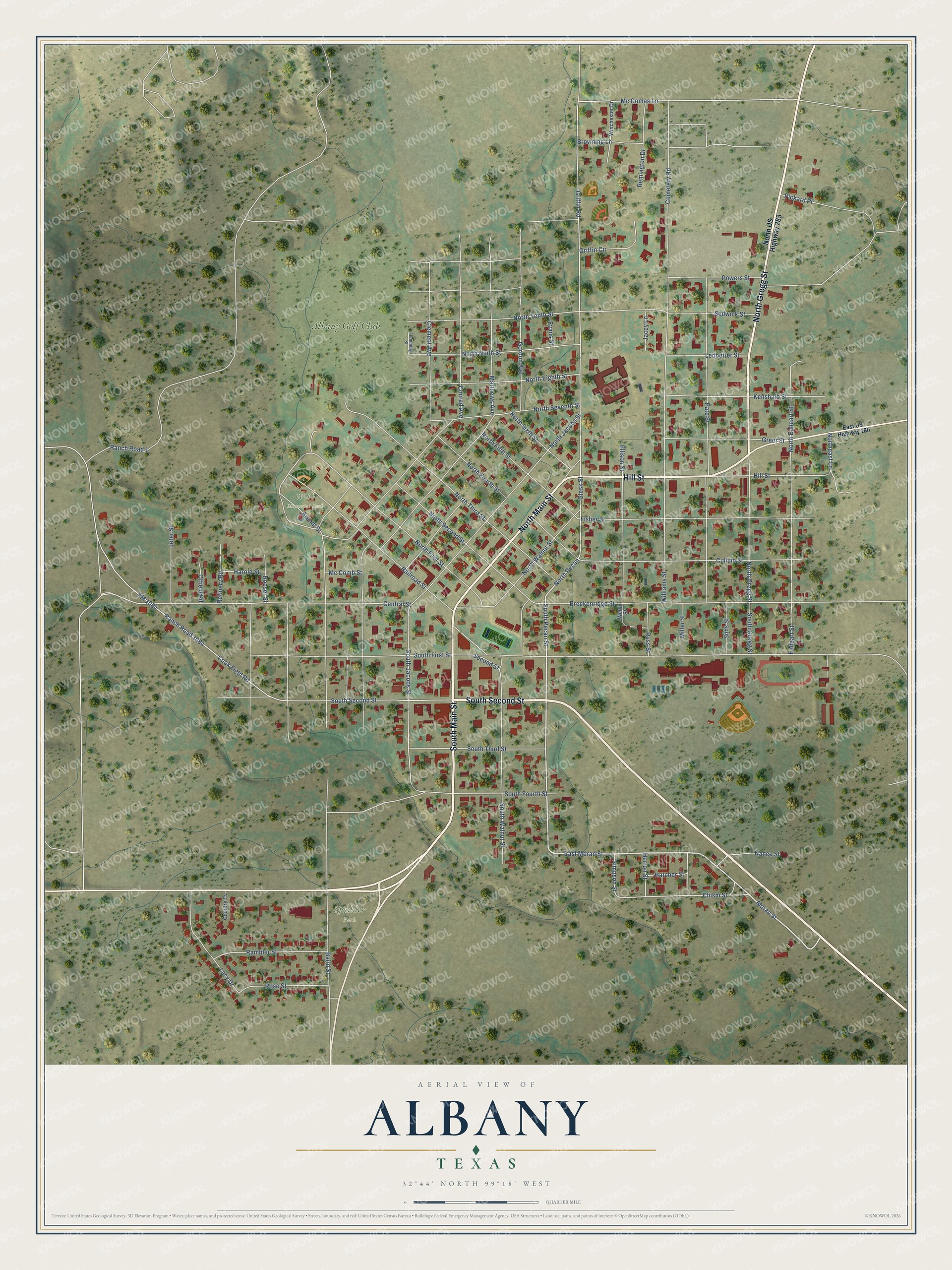
This beautifully detailed map of Albany, Texas was created in 2026 using aerial imagery combined with modern topographical, census, street and landmark data. It's a modern aerial view of Albany in Shackelford County, Texas, that combines modern data with a vintage aesthetic. The roads feature printed names, and if you look closely you can find your exact house accurately shown in its correct location.
Explore an aerial view of Albany, Texas
On this map you'll find Webb Memorial Park, Spudder Park, Albany Golf Club, South Main Street, North Main Street, Hill Street, North Gregg Street, South Second Street, Moran Street, South Pecan Street, East Moran Street, North Pecan, and more. Each red shape is a building, so zoom in on the preview and look for yours.
Every town has a first chapter, and Albany is no exception. The Handbook of Texas puts it this way: "William Cruger named the town for his former home, Albany, Georgia. One of the town's Bicentennial projects was a rock fountain dedicated to the memory of the Georgia volunteers killed in the Goliad Massacre during the Texas Revolution."
Albany is a city in Shackelford County. The Census Bureau counted 1,854 people here in 2020.
Take a closer look at the Albany map
Names on this map
These names are printed on this map.
Places: Webb Memorial Park, Spudder Park and Albany Golf Club.
Streets and roads: South Main Street, North Main Street, Hill Street, North Gregg Street, South Second Street, Moran Street, South Pecan Street, East Moran Street, North Pecan, Glesk Street, Griffin Road, Breckenridge Street.
More street names, A to Z
Arendt Street, Baird Street, Browning Lane, Cemetery Road, Central Street, Chism Street, Clement Avenue, Conrad Avenue, Cook Field Road, Country Cv, Cullum Street, Eaheart Street, East US Highway 180, Ellison Street, Evans Street, Fisher Street, Flemming Street, FM 1084, Gordon Avenue, Greer Street, Griffin Circle, Harold Street, Hatcher Street, Herron Street, Jacey Lane, Jeter Street, Kenshalo Street, Lacy Drive, Ledbetter Street, Matthews Avenue, Mc Comas Lane, Mc Comb Street, Miller Street, Nance Street, North Eaheart Street, Northeast Lane, North Eighth Street, North Fifth Street, North First Street, North Fourth Street, North Jacobs Street, North Ninth Street, North Second Street, North Seventh Street, North Sixth Street, North Tenth Street, North Third Street, North US Highway 283, North Walnut Street, Offield Road, Pate Street, Pickard Place, Powers Street, Railroad Street, Rambler Street, Ranch Road 1, Ranch Road 1084, Refinery Road, Remington Drive, Roeser Street, Rose Street, Russ Street, Second Street, Sedwick Street, Simpson Street, Sims Street, South First Street, South Fourth Street, South Gregg Street, South Jacobs Street, South Third Street, South Walnut Street, Webb Street, Williams Street, Winchester Drive.
Created by KNOWOL in 2026. The buildings are small red shapes, the roads carry their printed names, and shaded relief shows the shape of the land. The title panel reads "AERIAL VIEW OF ALBANY TEXAS" with 3, 2, °, 4, 4, ', , N, O, R, T, H, , 9, 9, °, 1, 8, ', , W, E, S, T.
Hang it in the hallway, the office or the cabin, or give it to someone who left Albany and still calls it home. Open the preview and look for a street you know. See sizes and frames for the Albany map.