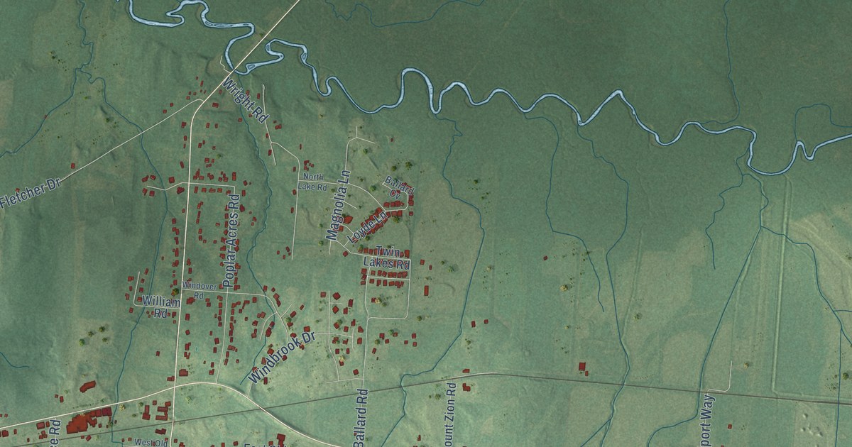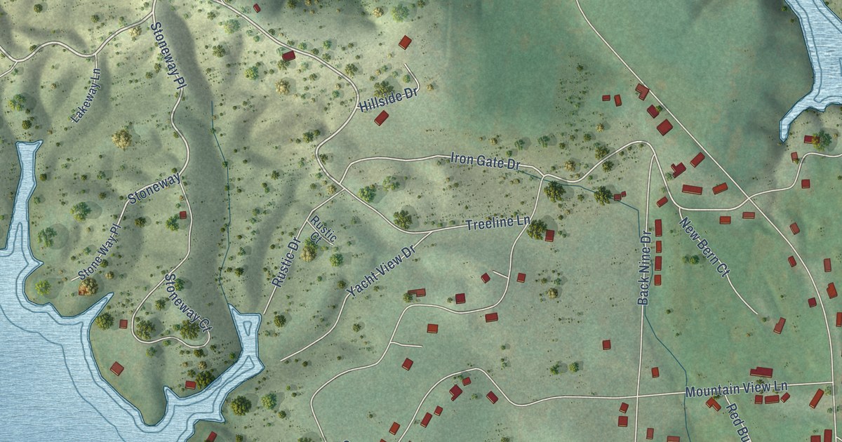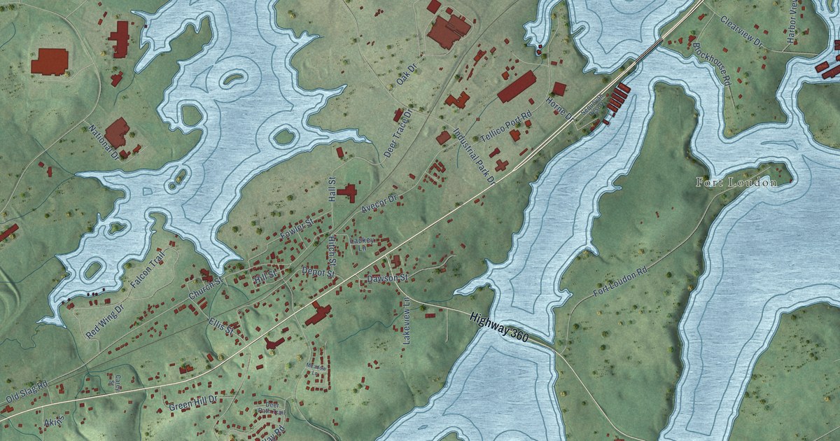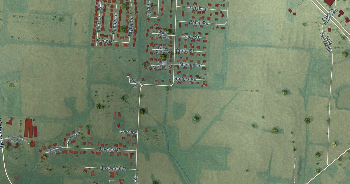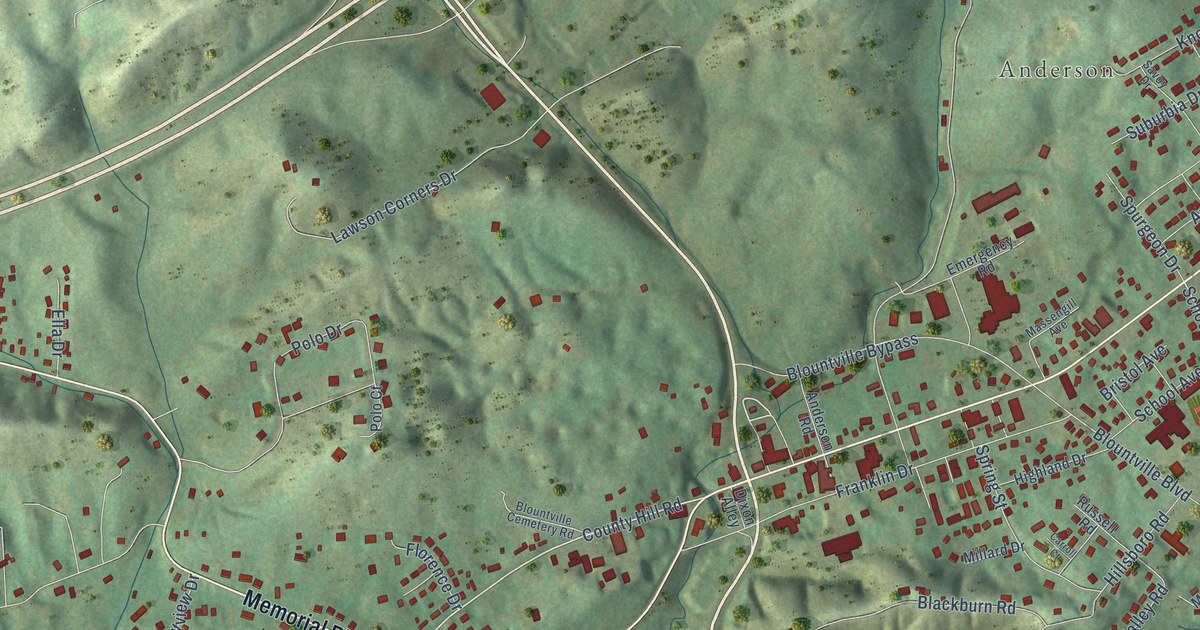
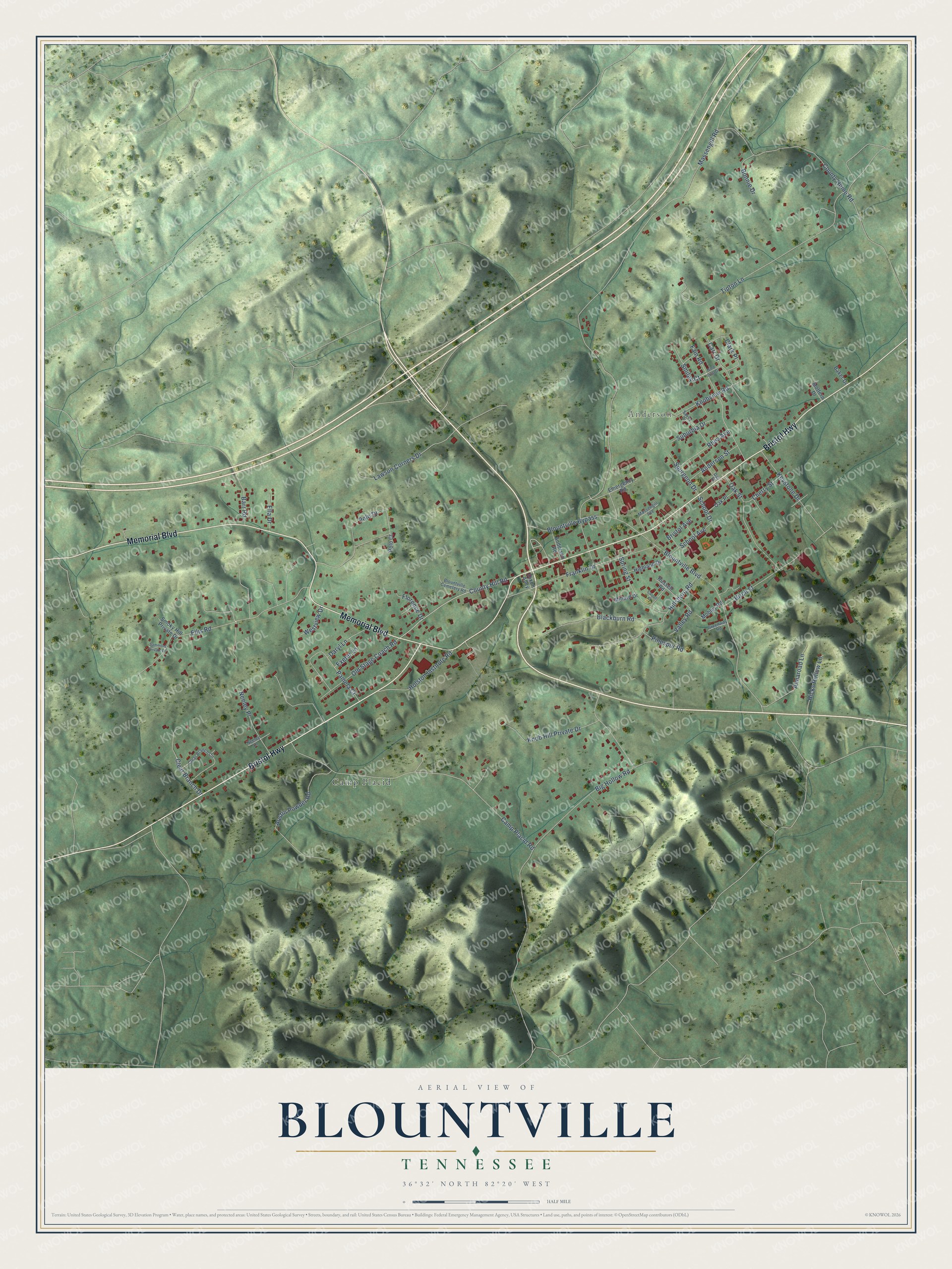
This beautifully detailed map of Blountville, Tennessee was created in 2026 using aerial imagery combined with modern topographical, census, street and landmark data. It's a modern aerial view of Blountville in Sullivan County, Tennessee, that combines modern data with a vintage aesthetic. The roads feature printed names, and if you look closely you can find your exact house accurately shown in its correct location.
Explore an aerial view of Blountville, Tennessee
On this map you'll find Anderson, Camp Placid, Bristol Highway, Memorial Boulevard, Smiley Court, County Hill Road, School Drive, Massengill Road, Big Hollow Road, Camp Placid Road, Tipton Lane, Ellis Road, and more. Each red shape is a building, so zoom in on the preview and look for yours.
Every town has a first chapter, and Blountville is no exception. The Internet Archive puts it this way: "the 5th day of 0ct- 1863-
Court met pursuant to adjournment (at the Female Institute
within the corporation of said town of Blountville, the court house
having been burned down by the Federals on the 22d day of September
last, pending a battle fought over said town by the Federal and Con-
federate forces."
Blountville is a community in Sullivan County. The Census Bureau counted 3,120 people here in 2020.
Take a closer look at the Blountville map
Names on this map
These names are printed on this map.
Places: Anderson and Camp Placid.
Streets and roads: Bristol Highway, Memorial Boulevard, Smiley Court, County Hill Road, School Drive, Massengill Road, Big Hollow Road, Camp Placid Road, Tipton Lane, Ellis Road, Blountville Boulevard, County Home Road.
More street names, A to Z
Almaroad Lane, Anderson Road, Anderson Street, Austin Powder Road, Baker Drive, Barr Road, Birch Street, Blackburn Road, Blountville Bypass, Blountville Cemetery Road, Bonnie Drive, Bristol Avenue, Carr Drive, Carroll Court, Cherry Street, Clark Place, Clear Branch Circle, Clear Branch Drive, Dail Street, Daryl Lane, Dixon Alley, Ella Drive, Emergency Road, Exeter Lane, Fain Road, Florence Drive, Franklin Drive, Gold Dust Drive, Greenway Road, Hicks Hollow Lane, Highland Drive, Hillsboro Road, Holston Institute Road, Keystone Drive, Knob Hill Private Drive, Knobview Road, Lawson Corners Drive, Massengill Avenue, Millard Drive, Mobley Road, Mottern Drive, Neeley Lane, Neeley Place, Oak Place, Oak Street, Old Stage Coach Road, Pamela Court, Pinespur Road, Polo Court, Polo Drive, Rhea Avenue, Russell Road, Sammons Private Drive, Savoy Drive, School Avenue, Smoky Hill Private Drive, Spring Street, Spurgeon Drive, Suburbia Drive, Valley Road, Westview Drive.
Created by KNOWOL in 2026. The buildings are small red shapes, the roads carry their printed names, and shaded relief shows the shape of the land. The title panel reads "AERIAL VIEW OF BLOUNTVILLE TENNESSEE" with 36°32' NORTH 82°20' WEST.
Hang it in the hallway, the office or the cabin, or give it to someone who left Blountville and still calls it home. Open the preview and look for a street you know. See sizes and frames for the Blountville map.