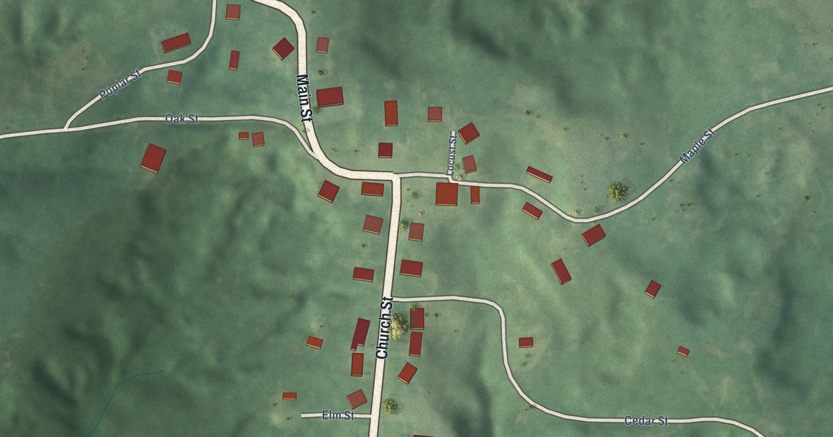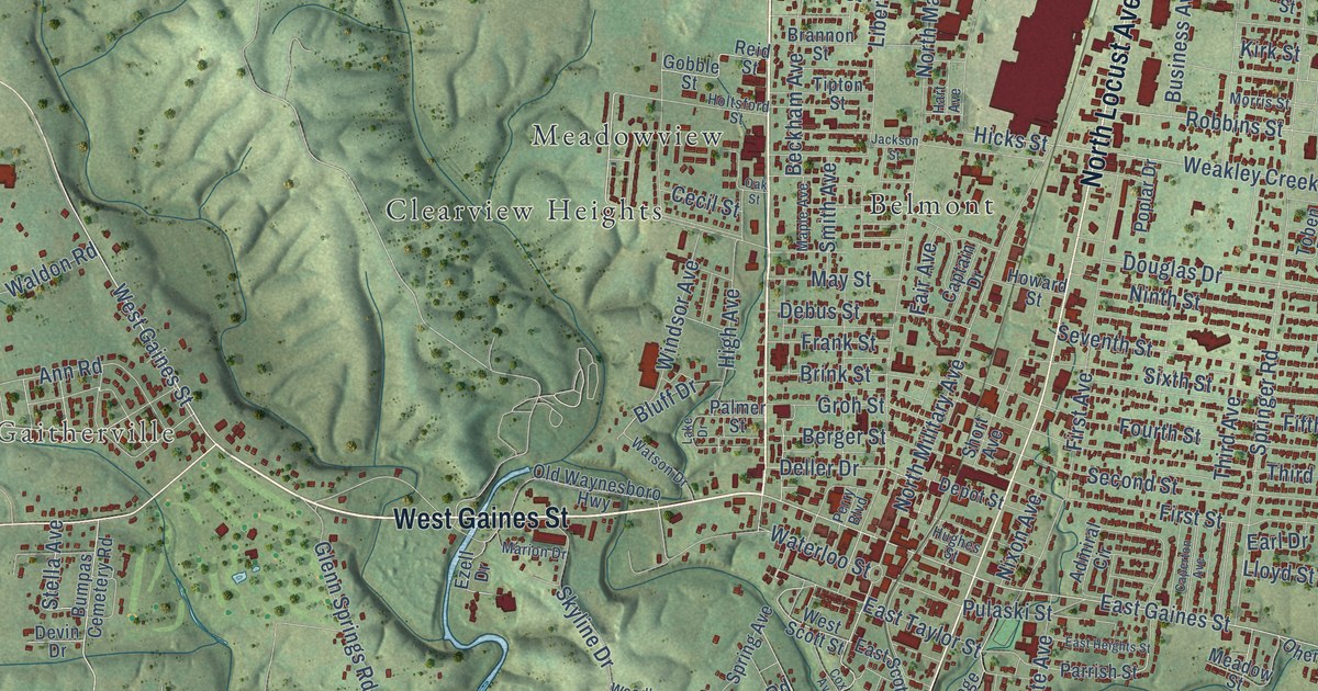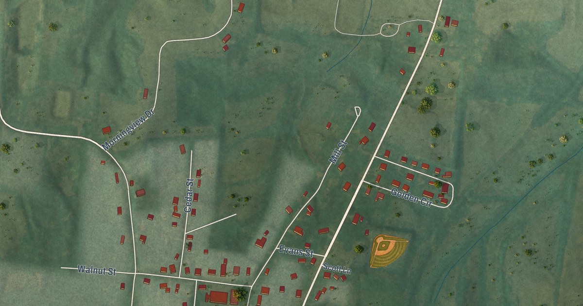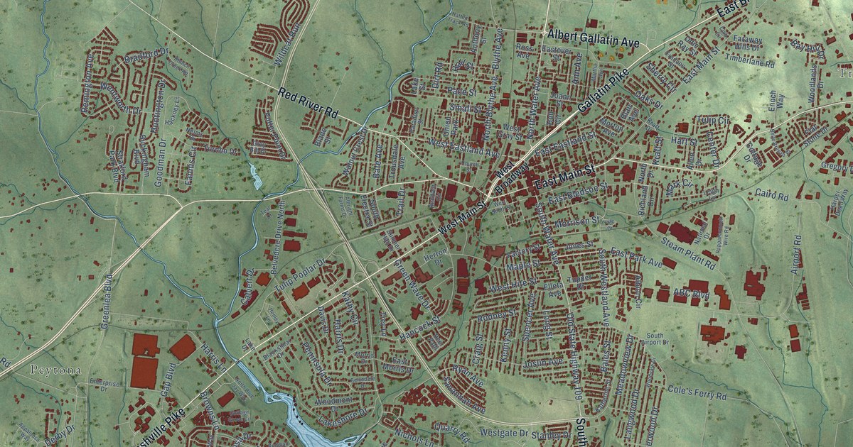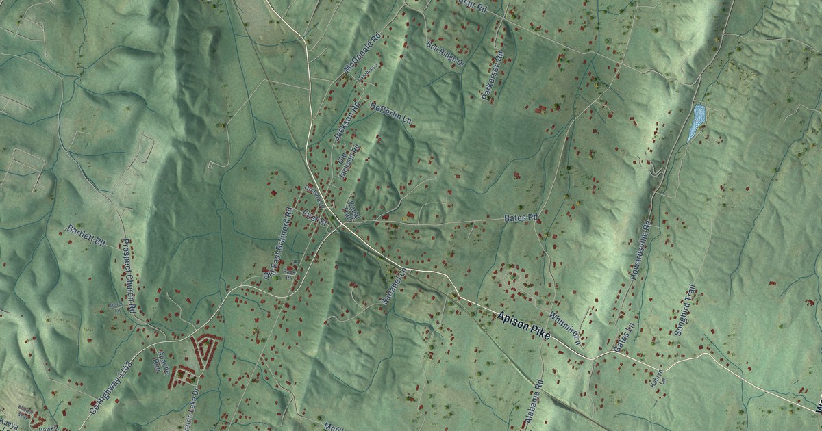
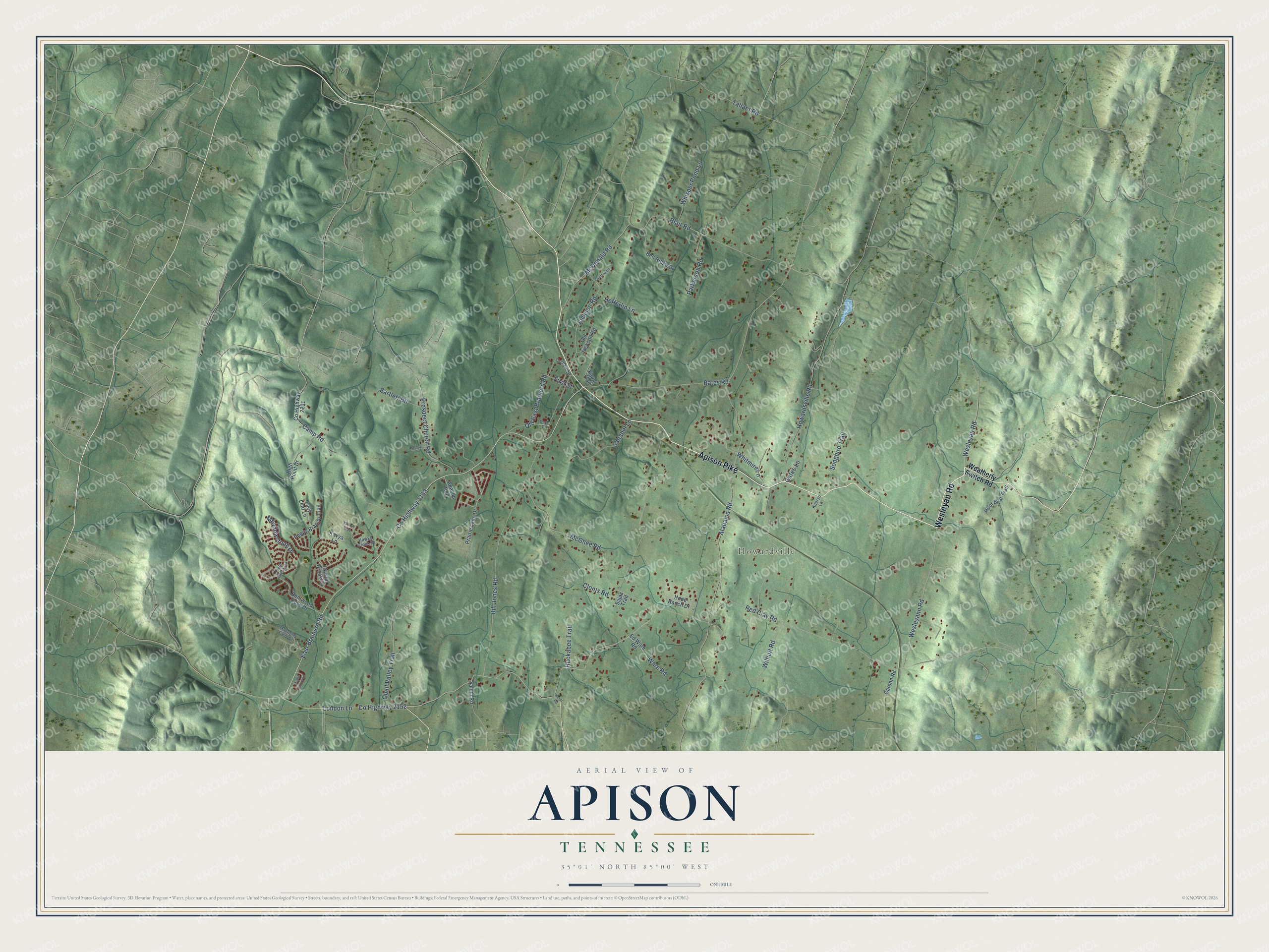
This beautifully detailed map of Apison, Tennessee was created in 2026 using aerial imagery combined with modern topographical, census, street and landmark data. It's a modern aerial view of Apison in Hamilton County, Tennessee, that combines modern data with a vintage aesthetic. The roads feature printed names, and if you look closely you can find your exact house accurately shown in its correct location.
Explore an aerial view of Apison, Tennessee
On this map you'll find Howardville, Apison Pike, Wesleyan Road, Co Highway 1143, East Brainerd Road, Bill Jones Road, Wesleyann Road, Alabama Road, Wilhoit Road, Co Highway 2152, London Lane, Howardsville Road, and more. Each red shape is a building, so zoom in on the preview and look for yours.
Apison has a story worth telling. The Chattanoogan puts it this way: "The book tells how Apison got its name – from the type of clay encountered by those building a railroad through Apison. The settlement at the community actually dates back to 1840."
Apison is a community in Hamilton County. The Census Bureau counted 4,428 people here in 2020.
Take a closer look at the Apison map
Names on this map
These names are printed on this map.
Places: Howardville.
Streets and roads: Apison Pike, Wesleyan Road, County Highway 1143, East Brainerd Road, Bill Jones Road, Wesleyann Road, Alabama Road, Wilhoit Road, County Highway 2152, London Lane, Howardsville Road, McGhee Road.
More street names, A to Z
Apache Run, Bartlett Blf, Bates Road, Bell Ridge Drive, Bentwood Cove Drive, Blair Road, Camp Road, Carson Road, Clonts Road, County Highway 2201, Crystal Brook Drive, Cynthia Lane, Ed Ware Road, Field Crest Drive, First Street, Flicker Way, Gates Lane, Hawks Creek Drive, Hefferlin Lane, High Point Drive, Hoof Beat Trail, Hope Ranch Drive, Huckabee Trail, Jackson Road, Kabryn Lane, Kauai Trail, Kavya Lane, Keith Road, Lacy Leaf Lane, Magnolia Farm Drive, Maple Grove Lane, McDonald Road, Meadowstone Drive, Mercy Lane, Old East Brainerd Road, Old Jackson Road, Orchard Drive, Parkerson Road, Park Place, Peppy Branch Trail, Prairie Lake Drive, Prospect Church Road, Quail Valley Trail, Red Clay Road, Sajac Trail, Salem Road, Sanabel Lane, Songbird Trail, Tallant Road, Ware Road, Weatherly Switch Road, Whisper Pond Lane, Whitmire Lane.
Created by KNOWOL in 2026. The buildings are small red shapes, the roads carry their printed names, and shaded relief shows the shape of the land. The title panel reads "AERIAL VIEW OF APISON TENNESSEE" with 35°01' NORTH 85°00' WEST.
It looks right in a kitchen, an office or a den, and it's a gift for anyone who grew up in Apison or moved away. Open the preview and find your street. See sizes and frames for the Apison map.